The best mountain hikes around Oberhofen am Thunersee
4.9
(30)
228
hikers
13
hikes
Mountaineering routes around Oberhofen am Thunersee are characterized by an alpine backdrop, diverse terrain, and panoramic views of Lake Thun and the Bernese Alps. The region features prominent peaks such as Niederhorn (1,963 meters) and Niesen (2,362 meters), offering varied ascents. Terrain ranges from the Güggisgrat ridge with its gentle southern slopes to more abrupt drops into valleys like the Justistal. The landscape is dominated by the majestic Bernese Alps, providing a challenging environment for mountaineering.
Best mountaineering routes around…
Last updated: July 20, 2026
4.7
(15)
124
hikers
7.63km
04:06
730m
730m
Hard mountaineering route. Good fitness required. Sure-footedness, sturdy shoes and alpine experience required.
5.0
(2)
8
hikers
15.9km
07:21
1,000m
1,000m
Hard mountaineering route. Very good fitness required. Sure-footedness, sturdy shoes and alpine experience required.

Sign up for free
4.5
(2)
13
hikers
8.96km
04:35
800m
800m
Hard mountaineering route. Good fitness required. Sure-footedness, sturdy shoes and alpine experience required.
5.0
(1)
7
hikers
9.97km
03:47
330m
330m
Moderate mountaineering route. Good fitness required. Mostly accessible paths. Sure-footedness required.
5.0
(2)
9
hikers
9.42km
04:48
800m
800m
Hard mountaineering route. Good fitness required. Sure-footedness, sturdy shoes and alpine experience required.
Get access to more routes and recommendations from other explorers.
Sign up for free
Already have an account?
Our route recommendations are based on thousands of hikes, rides, and runs completed by other people on komoot.
Start today with a free account
Your next adventure awaits.
Login or Signup
Popular around Oberhofen am Thunersee
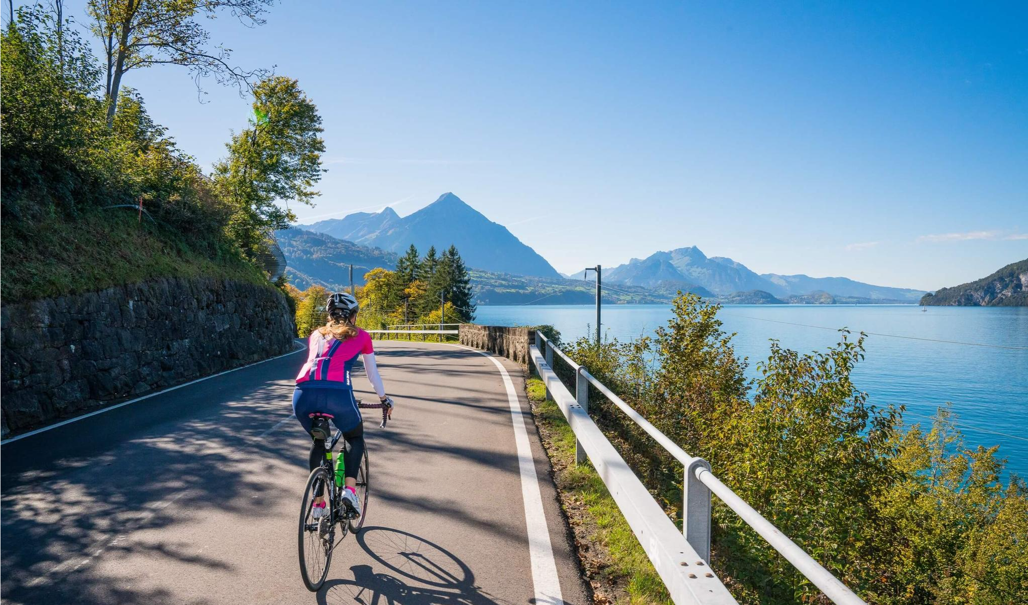

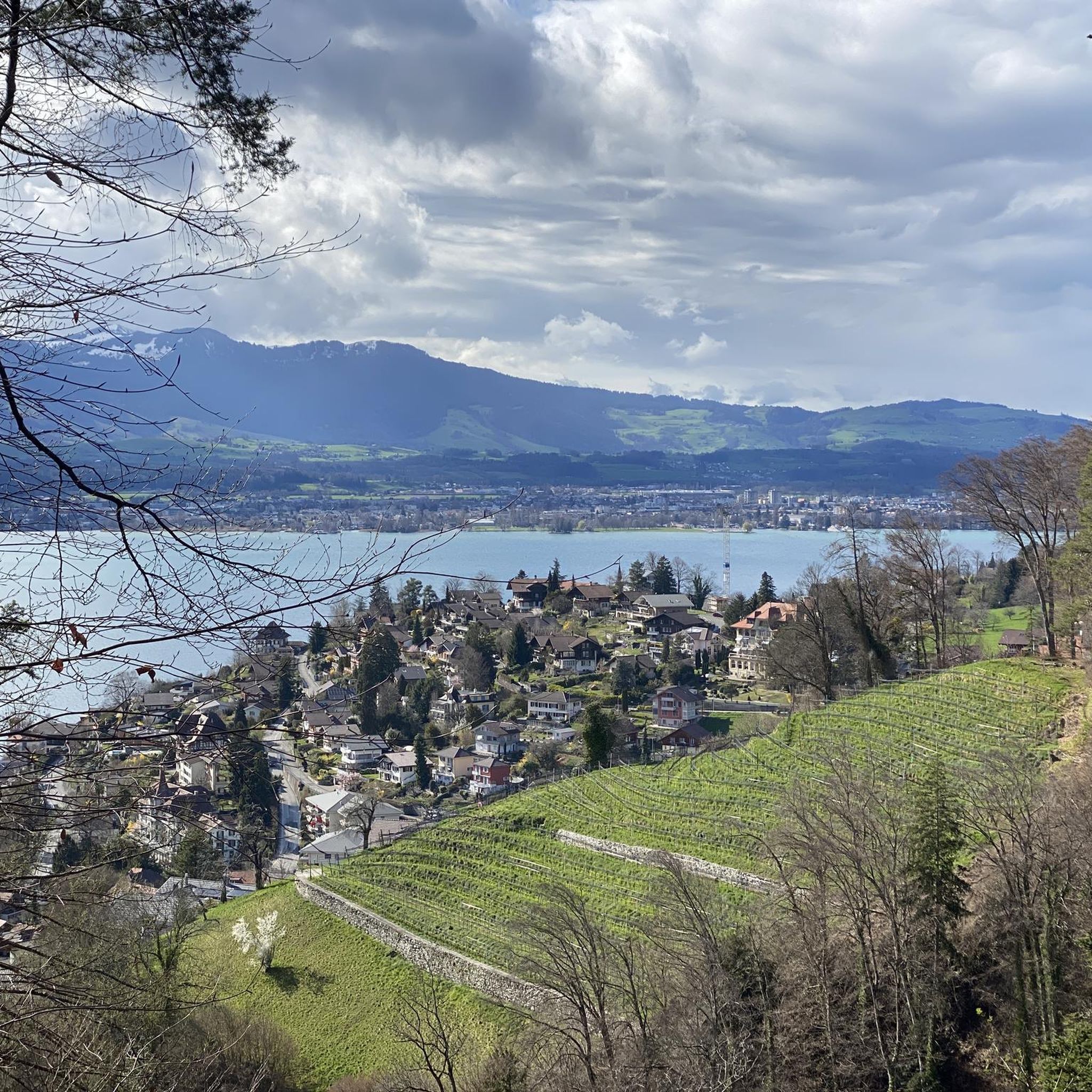
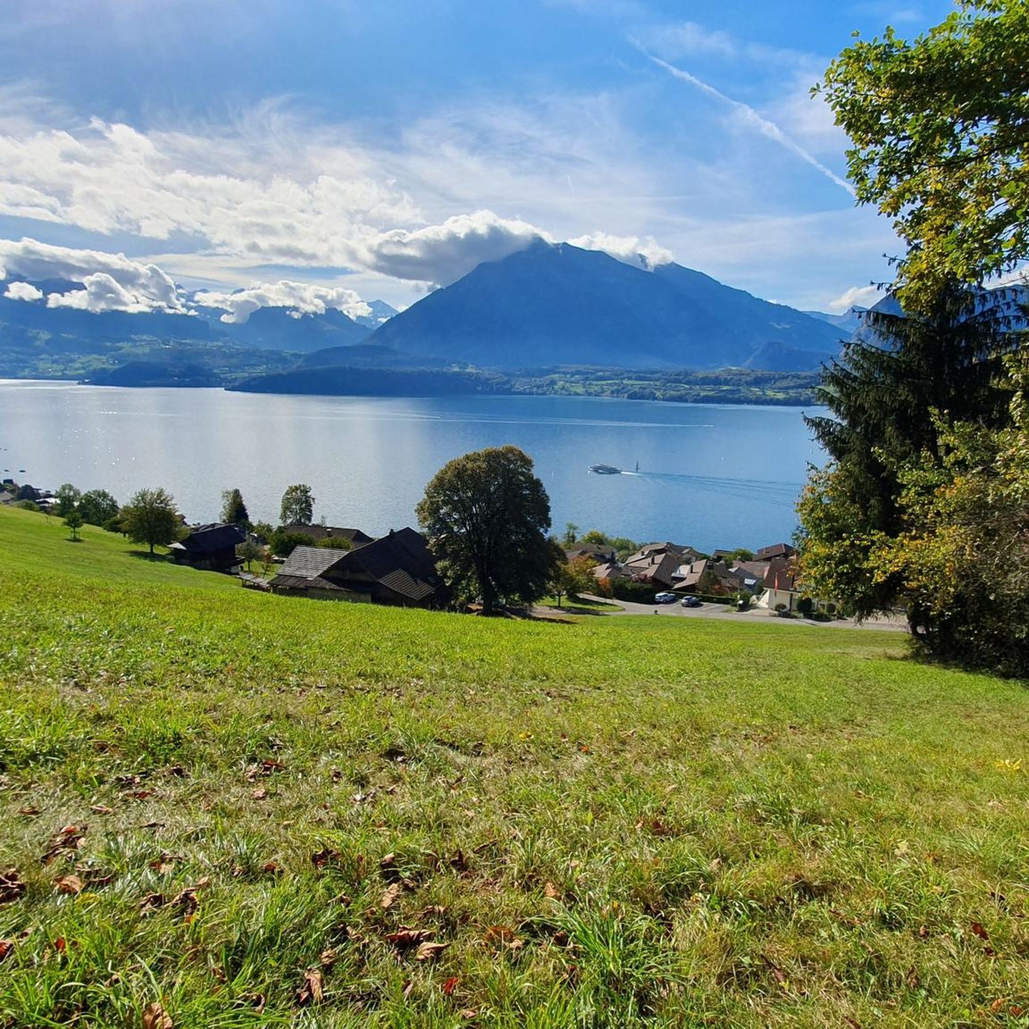
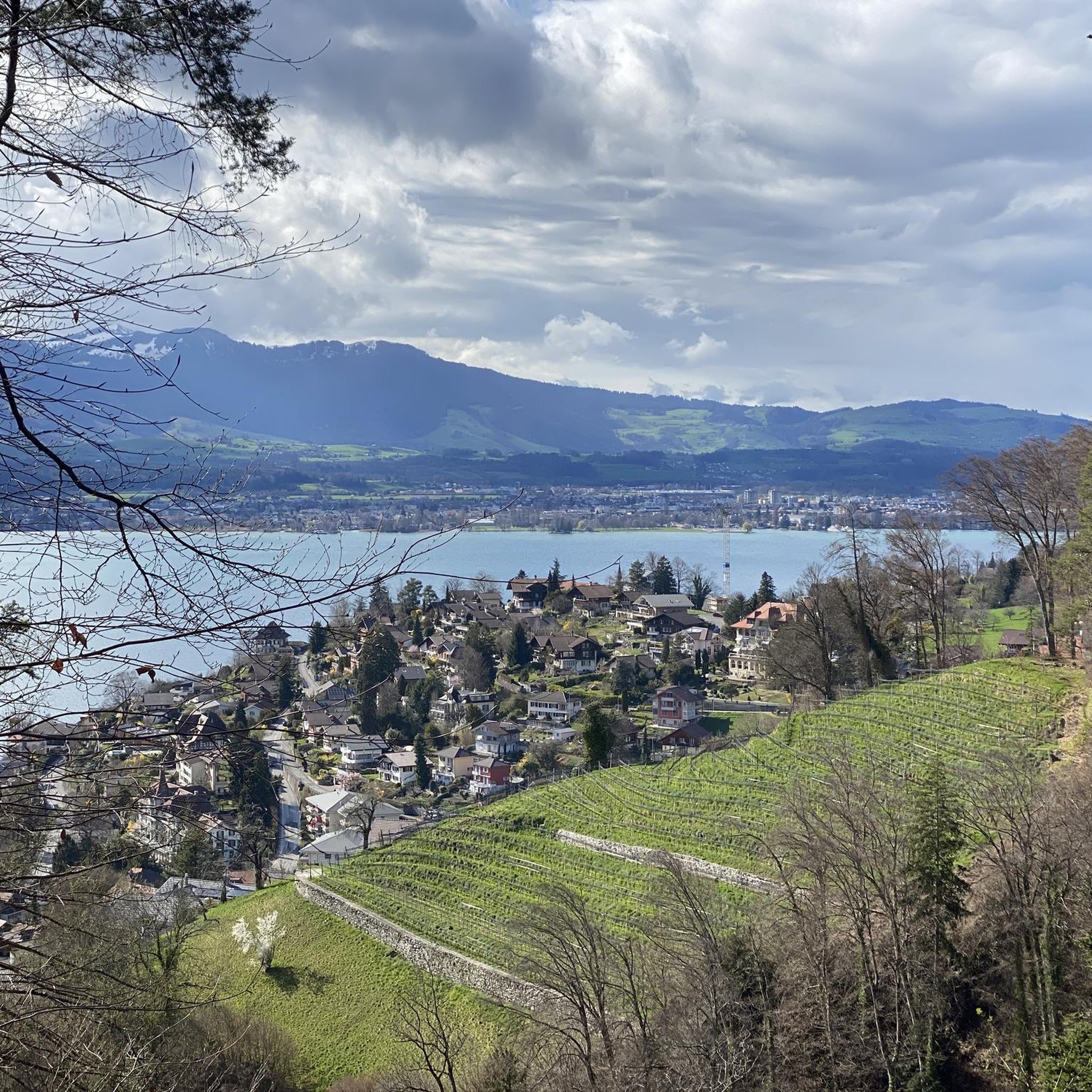
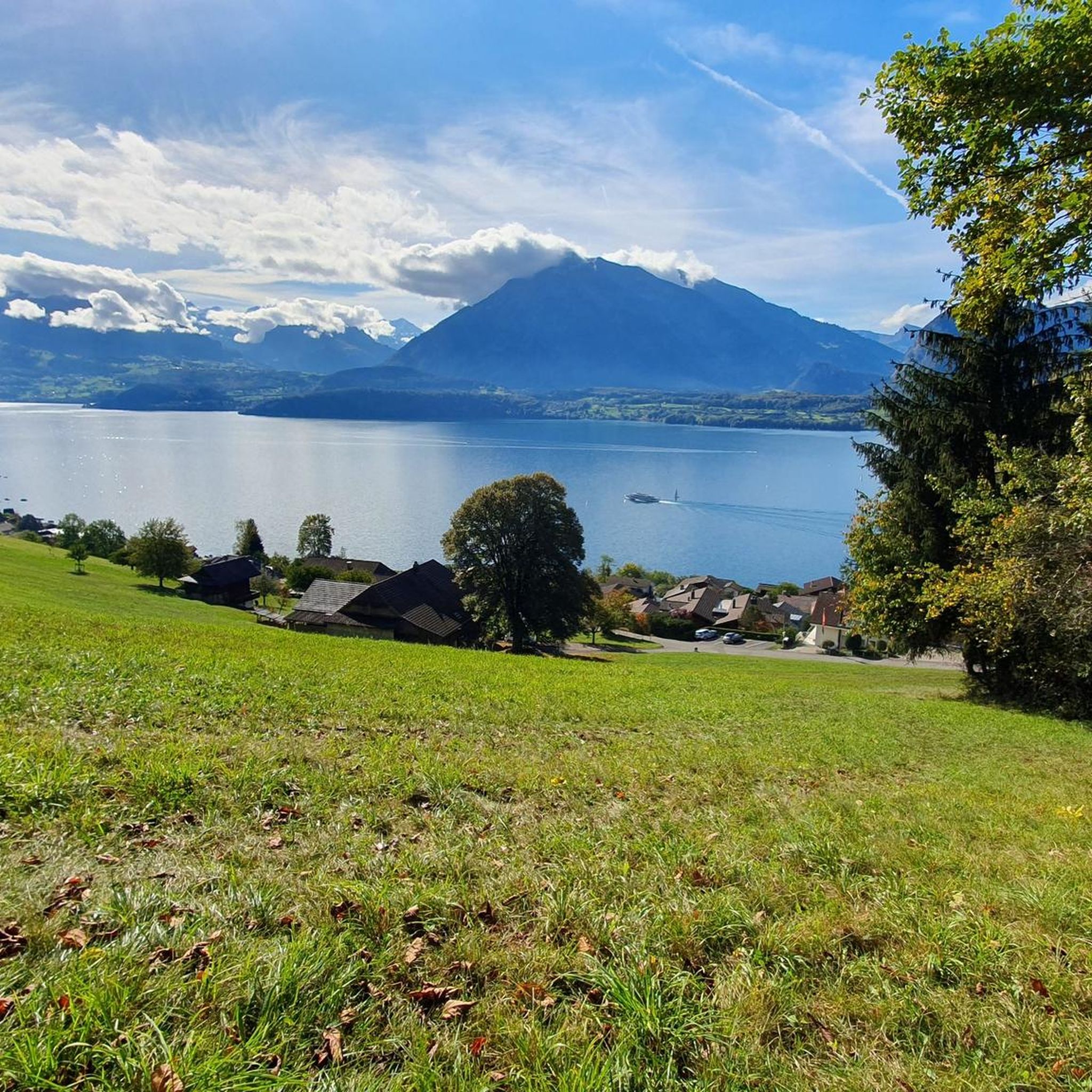
Other adventures around Oberhofen am Thunersee

Tips from the Community

Great after-work hike, but I would recommend a helmet as rockfalls from wildlife or other hikers cannot be ruled out.
0
0

The Gemmenalphorn is a scenic summit above Lake Thun and part of the Niederhorn chain. The distinctive grassy mountain reaches an altitude of 2061 meters and offers an impressive panorama of the Eiger, Mönch, and Jungfrau, as well as the deep blue Lake Thun. The hike from the Niederhorn via the scenic ridge path is particularly popular. In summer, ibex often graze in the area, which is why the region is also highly valued by wildlife observers. Despite its height, the Gemmenalphorn is technically quite easy to reach and ideal for pleasure hikers.
2
0
The ascent from the east can be very tricky in spring, as there may still be snow in exposed places.
2
0
Beautiful alp on the way to the Sigriswiler Rothorn
7
0
Beautiful and little-frequented summit with panoramic views
7
0

Difficult ascent including easy climbing but at the top everything is forgotten, the effort was worth it, the view is amazing.
0
1

The Sigriswiler Rothorn (2,051 m) is an impressive vantage point high above Lake Thun ⛰️🌊. The ascent is mostly along the ridge and requires surefootedness and a head for heights ⚠️🥾 – caution is advised, especially in wet conditions. At the top, you'll be rewarded with a fantastic 360° panorama: views of the Eiger, Mönch, and Jungfrau, the Mittelland, and Lake Brienz and Lake Thun 🏔️👀 – ideal for a summit rest and impressive photos 📸. Equipment: Sturdy hiking boots, weather protection 🧥, provisions 🥪, water 💧. No food or drink options along the way. Recommendation: Set off early ⏰, and avoid the ridge in uncertain weather. An absolutely worthwhile summit for experienced hikers!
1
0
A beautiful spot with stunning views of the Bernese Oberland! ⛰️🌲. The trail is well marked, but surefootedness is required, especially in wet conditions ⚠️. Recommendation: Start early ⏰ to enjoy the peaceful morning atmosphere! Equipment: Sturdy hiking boots 🥾, weatherproof clothing 🧥, and poles 🦯 if needed. Note: No refreshment stops – bring plenty of water 💧 and provisions 🥪.
2
0
Frequently Asked Questions
How many mountaineering routes are available around Oberhofen am Thunersee?
There are 14 mountaineering routes in the Oberhofen am Thunersee region, offering a range of experiences from moderate ascents to challenging summit routes. The komoot community has explored these varied terrains over 200 times.
What kind of terrain can I expect on mountaineering routes in this area?
Mountaineering routes around Oberhofen am Thunersee feature an alpine backdrop with diverse terrain. You'll encounter prominent peaks like Niederhorn and Niesen, panoramic ridges such as the Güggisgrat, and varied landscapes including gentle southern slopes and abrupt drops into valleys like the Justistal. The majestic Bernese Alps form a dramatic and challenging environment.
Are there any circular mountaineering routes?
Yes, several routes offer a circular experience. For a challenging loop with expansive views along the Güggisgrat ridge, consider the Burgfeldstand Summit – Gemmenalphorn loop from Niederhorn. Another option is the Burgfeldstand Summit – Niederhorn Summit loop from Niederhorn, which leads through alpine terrain.
What are some notable landmarks or viewpoints I can reach on these routes?
The region is rich with stunning viewpoints. The Burgfeldstand Summit – Gemmenalphorn loop from Niederhorn offers expansive views along the Güggisgrat ridge. You can also find routes leading to the Adlerhorst viewpoint, such as the Brothüsiweg Covered Bridge – Adlerhorst (1960 m) loop from Wimmis. The Niederhorn Summit itself provides picturesque views of Lake Thun and the Bernese Alps.
Are there any less crowded or hidden gem mountaineering routes?
While many routes offer solitude, for a challenging experience away from the most popular trails, consider the Schafloch Cave West Entrance – Alp Oberbärgli loop from Schwändiblueme. This route takes you through varied terrain with significant elevation gain, offering a more secluded adventure.
What is the best time of year for mountaineering in Oberhofen am Thunersee?
The best time for mountaineering in Oberhofen am Thunersee is generally during the warmer months, from late spring to early autumn, when trails are clear of snow and weather conditions are more stable. This allows for optimal enjoyment of the high alpine peaks and panoramic views.
Are there any family-friendly mountaineering options?
While many mountaineering routes in this region are rated difficult, there are some moderate options that might be suitable for families with older, experienced children. The Burgfeldstand Summit – Niederhorn Summit loop from Niederhorn is a moderate trail that offers alpine scenery without the most extreme challenges.
What do other mountaineers say about the routes in Oberhofen am Thunersee?
The mountaineering routes around Oberhofen am Thunersee are highly rated by the komoot community, with an average score of 4.9 stars from nearly 30 reviews. Mountaineers often praise the stunning panoramic views over Lake Thun and the Bernese Alps, as well as the diverse and challenging alpine terrain.
Are there any gorges or waterfalls to see near the mountaineering routes?
Yes, the region features several impressive natural formations. You can explore the Cholerenschlucht Gorge or the scenic Justistal. Additionally, the waterfall in front of the St. Beatus Caves is a notable sight, often accessible from nearby trails.
How can I access the mountaineering routes using public transport?
Oberhofen am Thunersee is well-connected by public transport. Many routes start near bus stops or train stations, allowing for convenient access. For example, the Brothüsiweg Covered Bridge – Adlerhorst (1960 m) loop from Wimmis starts from Wimmis, which is accessible by public transport. Always check local schedules for the most up-to-date information.
Are there any routes that offer views of the iconic Eiger, Mönch, and Jungfrau mountains?
Yes, the higher peaks in the region, such as Niesen and Stockhorn, offer spectacular 360° panoramas that include the iconic Eiger, Mönch, and Jungfrau mountains. While not all mountaineering routes directly lead to these specific summits, many provide access to viewpoints with these majestic peaks in sight.
What is the most challenging mountaineering route in the area?
For a highly challenging experience, consider the Alp Oberbärgli – Sigriswiler Rothorn Summit loop from Sigriswil. This difficult route involves significant elevation gain and takes you to the Sigriswiler Rothorn Summit, offering a demanding yet rewarding ascent.
Most popular routes around Oberhofen am Thunersee
Most popular attractions around Oberhofen am Thunersee

Get inspired with the komoot mobile app


Explore more
Browse the best Mountain Hikes & Routes in other regions.
