The best walks and hikes around Val-De-Chalvagne
4.5
(376)
2,364
hikers
97
hikes
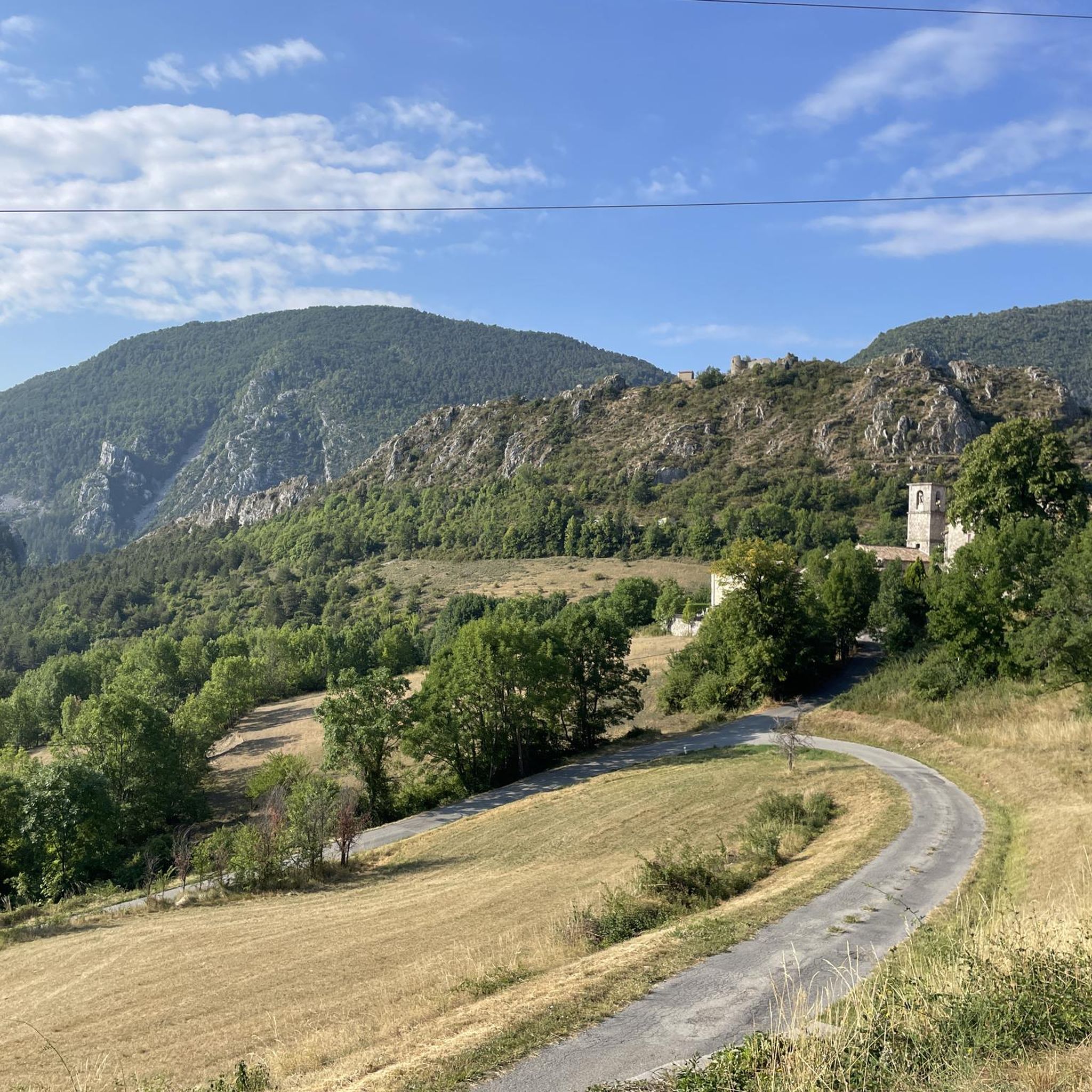
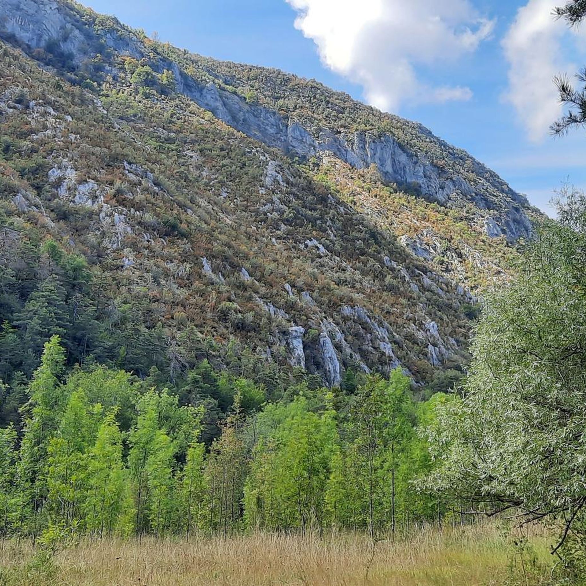
Hiking around Val-De-Chalvagne, located in France's Alpes-de-Haute-Provence, offers diverse landscapes shaped by the Chalvagne river. The region features winding trails through thick green forests and open areas leading to panoramic views. Terrain ranges from river valleys to mountain pastures, providing varied hiking experiences.
Best hiking trails around Val-De-Chalvagne
- The most popular hiking route is Historic Center of Entrevaux – view of the Var loop from Entrevaux, a 3.6 miles (5.8 km) trail that takes 2 hours 10 minutes to…
Last updated: September 28, 2026
4.5
(12)
45
hikers
5.75km
02:09
350m
350m
Moderate hike. Good fitness required. Easily-accessible paths. Suitable for all skill levels.
5.0
(3)
30
hikers
10.8km
03:23
400m
400m
Moderate hike. Good fitness required. Easily-accessible paths. Suitable for all skill levels.

4.6
(5)
22
hikers
19.3km
06:31
970m
970m
Hard hike. Very good fitness required. Mostly accessible paths. Sure-footedness required.
4.5
(8)
17
hikers
Moderate hike. Good fitness required. Mostly accessible paths. Sure-footedness required.
5.0
(3)
12
hikers
7.89km
03:17
400m
400m
Moderate hike. Good fitness required. Mostly accessible paths. Sure-footedness required.
Get access to more routes and recommendations from other explorers.
Already have an account?
Our route recommendations are based on thousands of hikes, rides, and runs completed by other people on komoot.
Start today with a free account
Your next adventure awaits.
Tips from the Community


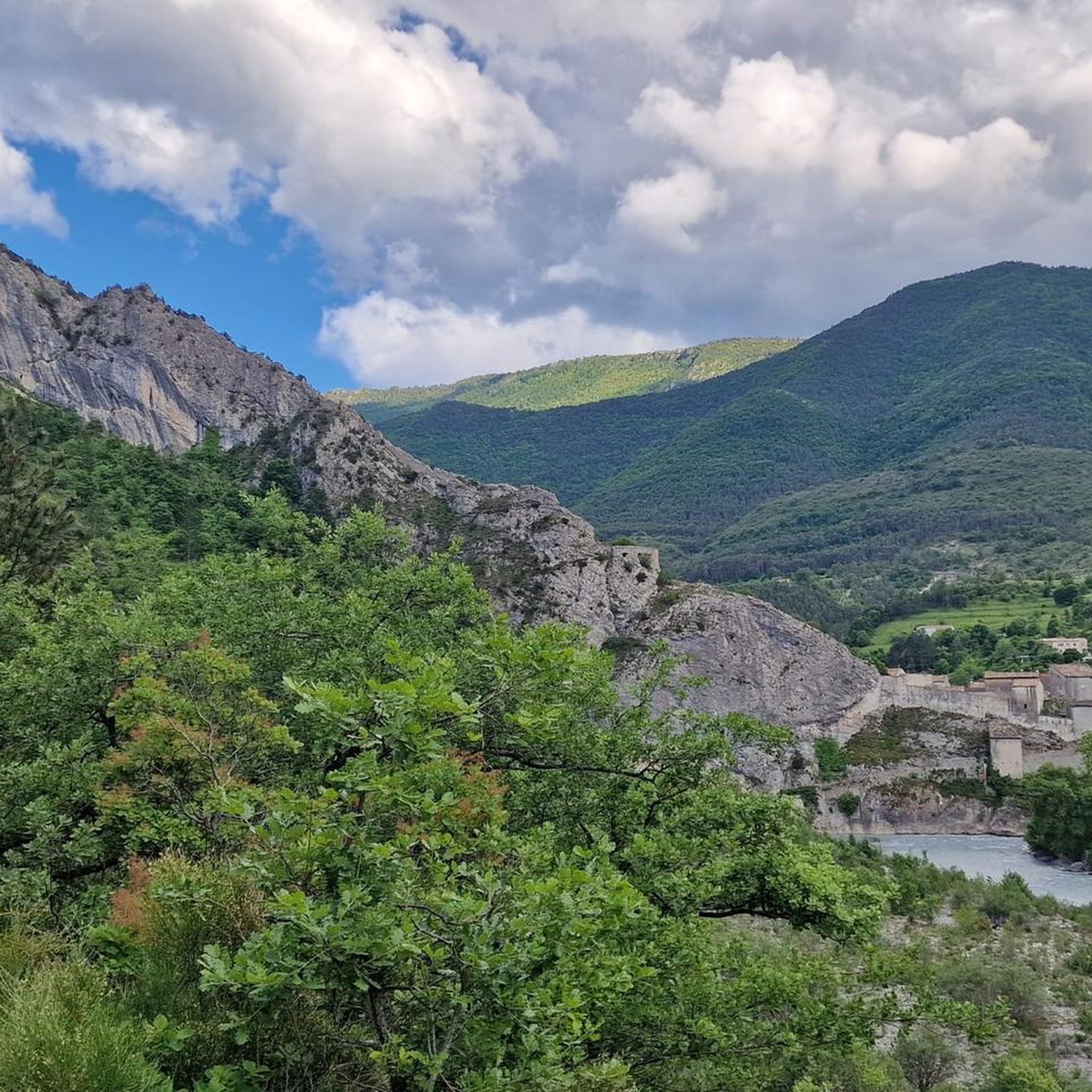
In addition to the citadel, cathedral, and its gates, Entrevaux also boasts a beautiful and cozy historic center. The Place Charles Panier and Place du Planet, in particular, invite you to linger in one of the cafés or restaurants.
5
0
Viewpoint with bench and stunning views of the historic center of Entrevaux, the medieval city walls, the citadel and cathedral.
4
0

interesting building with its cannonballs
0
0
to visit out of season to enjoy. dungeons open, do not miss going up to the orientation table in the dungeon
0
0
still as beautiful and steeped in history the descent of the citadel (or ascent depending on where you arrive from)
0
0

A really nice village 🤩
3
0

Frequently Asked Questions
How many hiking trails are available in Val-De-Chalvagne?
Val-De-Chalvagne offers nearly 100 hiking trails, catering to various skill levels. You'll find a diverse range of options, from easy strolls to challenging mountain ascents.
Are there easy or beginner-friendly hikes in Val-De-Chalvagne?
Yes, Val-De-Chalvagne has 16 easy hiking routes, perfect for beginners or those seeking a relaxed walk. These trails often follow the river valleys or offer gentle ascents through forests.
What kind of terrain can I expect on hikes in Val-De-Chalvagne?
The region's terrain is quite diverse, shaped by the Chalvagne river. You can expect winding trails through thick green forests, fragrant wild lavender fields, and open areas leading to panoramic views. The broader area includes everything from river valleys to mountain pastures of the Southern French Alps.
Are there any circular hiking routes in Val-De-Chalvagne?
Many of the trails in Val-De-Chalvagne are designed as loops, allowing you to start and finish at the same point. For example, the La Chapelle de Saint-Pierre – Cascade des Coulettes loop from Le Prignolet is a popular moderate circular route through forests and river valleys.
What are some interesting landmarks or attractions to see while hiking in the area?
Beyond the natural beauty, you can explore several historical and natural attractions. The medieval village of Entrevaux, with its impressive citadel, is just 4 km away. You might also encounter the unique sandstone formations of the King's Chamber near Annot, about 12 km from Val-de-Chalvagne. For stunning views, consider a hike that offers a View of Entrevaux.
Can I find hikes with waterfalls or water features in Val-De-Chalvagne?
Yes, the Chalvagne river shapes the local landscape, and some routes feature water elements. The La Chapelle de Saint-Pierre – Cascade des Coulettes loop from Le Prignolet is one such trail that leads through river valleys and features the Cascade des Coulettes.
What do other hikers say about the trails in Val-De-Chalvagne?
The hiking trails in Val-De-Chalvagne are highly regarded by the komoot community, with an average rating of 4.5 stars from nearly 300 reviews. Hikers often praise the diverse landscapes, from serene river valleys to panoramic mountain views, and the variety of routes available for all skill levels.
Are there any long-distance hiking trails that pass through Val-De-Chalvagne?
Yes, for serious hikers, the renowned GR4 long-distance trail, which traverses diverse and beautiful regions of France, crosses directly through the commune of Val-de-Chalvagne, offering opportunities for extended treks.
What is the best time of year to go hiking in Val-De-Chalvagne?
Val-De-Chalvagne, located in Provence-Alpes-Côte d'Azur, generally offers pleasant hiking conditions for much of the year. Spring and autumn provide mild temperatures and vibrant scenery, while summer is ideal for higher altitude routes. Winter hiking is possible, but some higher trails may be challenging due to snow.
Are there any challenging or difficult hikes in the Val-De-Chalvagne area?
For experienced hikers seeking a challenge, Val-De-Chalvagne offers 27 difficult routes. An example is the La Bernarde Summit – Vauplane stade de neige loop from Ubraye, an 11.9-mile (19.1 km) path involving a significant ascent through varied mountain terrain.
Are there family-friendly hiking options in Val-De-Chalvagne?
Many of the easy and moderate trails in Val-De-Chalvagne are suitable for families. The diverse landscape provides engaging walks through forests and along rivers. The nearby King's Chamber, with its unique rock formations, also offers a playful attraction for family outings.
Can I find parking at the trailheads in Val-De-Chalvagne?
While specific parking details vary by trailhead, many routes in the Val-De-Chalvagne area, especially those starting from villages or popular points, typically have designated parking areas nearby. It's always advisable to check the route details on komoot for specific starting points and parking information.
Most popular attractions around Val-De-Chalvagne

Get inspired with the komoot mobile app


Explore more
Browse the best Hikes in other regions.
