The best walks and hikes around Ubraye
4.5
(543)
3,131
hikers
103
hikes
Hiking around Ubraye offers diverse trails through mountainous terrain, characterized by prominent summits and scenic valleys. The region features a mix of open landscapes and forested areas, with routes often leading to elevated viewpoints. Water features like cascades are also present, contributing to the varied natural environment.
Best hiking trails around Ubraye
- The most popular hiking route is Bernarde Summit – La Bernarde Summit loop from Vauplane, a 2.6 miles (4.2 km) trail that takes 1 hour 31 minutes…
Last updated: October 25, 2026
4.3
(3)
19
hikers
11.3km
04:06
690m
690m
Moderate hike. Good fitness required. Mostly walkable paths. Sure-footedness required.
5.0
(4)
11
hikers
Easy hike. Easily walkable paths.

4.6
(5)
22
hikers
19.3km
06:31
970m
970m
Hard hike. Very good fitness required. Mostly walkable paths. Sure-footedness required.
4.5
(4)
24
hikers
11.3km
04:07
690m
700m
Moderate hike. Good fitness required. Mostly walkable paths. Sure-footedness required.
4.5
(8)
16
hikers
Moderate hike. Good fitness required. Mostly walkable paths. Sure-footedness required.
Get access to more routes and recommendations from other explorers.
Already have an account?
Our route recommendations are based on thousands of hikes, rides, and runs completed by other people on komoot.
Start today with a free account
Your next adventure awaits.
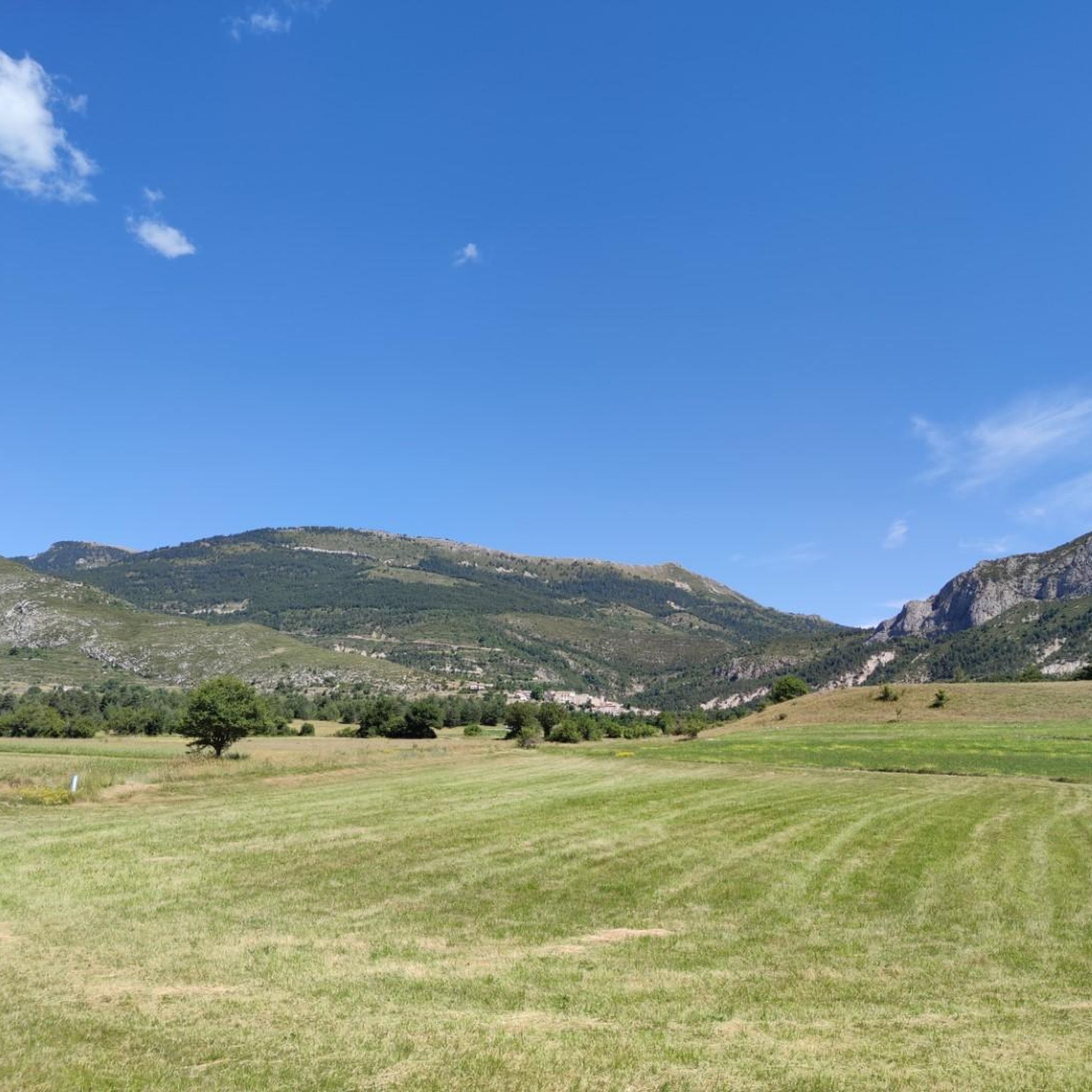
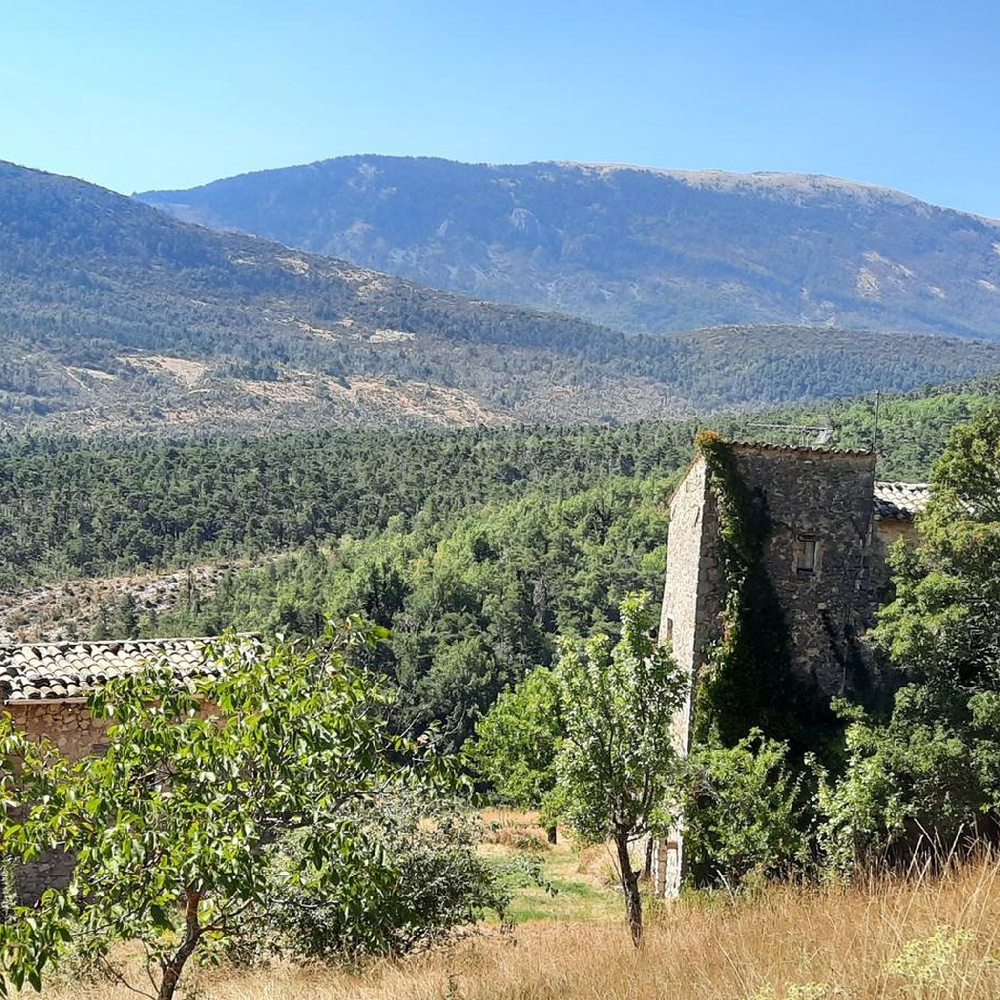
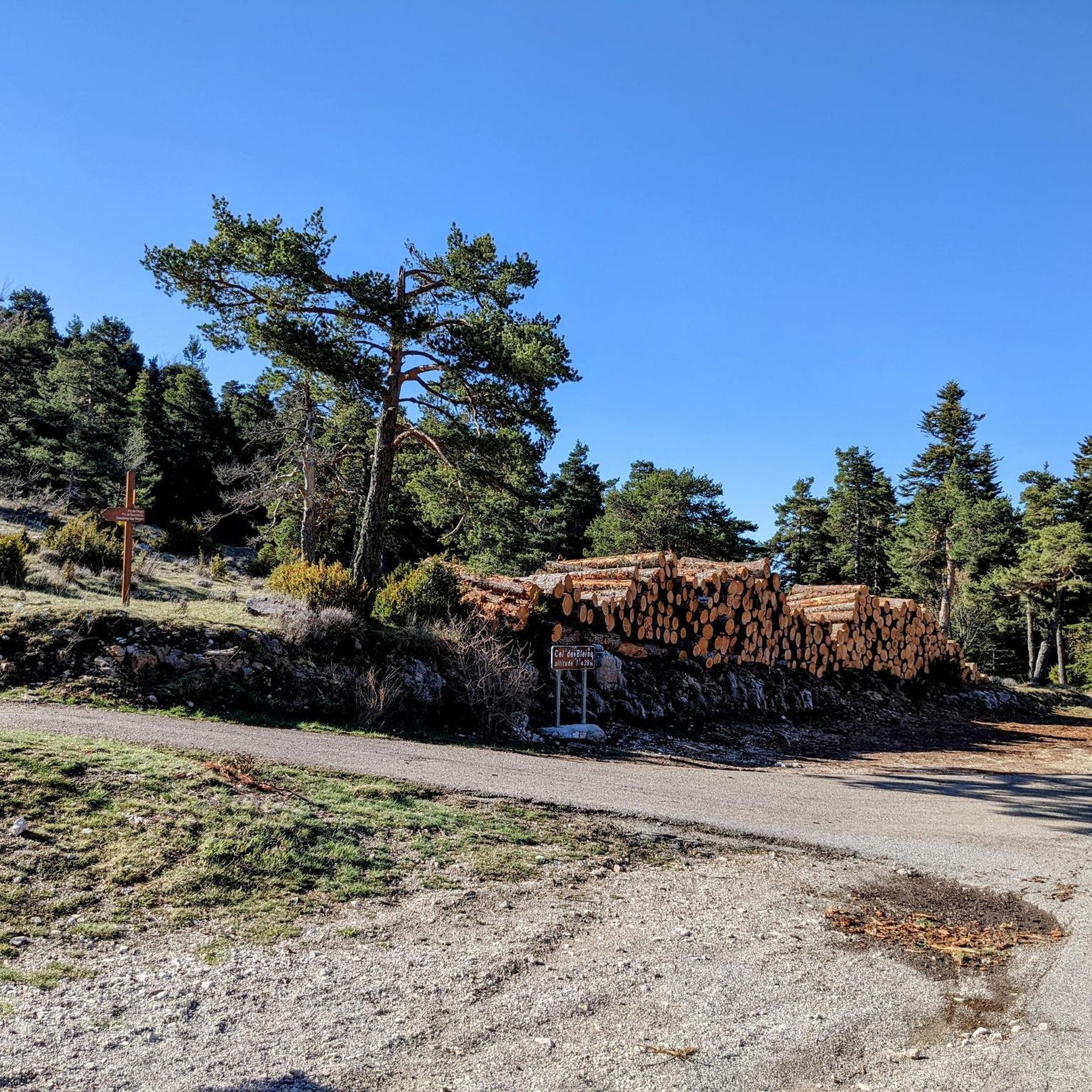
Tips from the Community

great views after a exciting run/hike to the summit of La Bernarde
0
0
Frequently Asked Questions
How many hiking trails are there around Ubraye?
Ubraye offers a diverse network of over 100 hiking trails. These routes cater to various skill levels, with 21 easy, 56 moderate, and 23 difficult options available.
Are there any family-friendly or easy walks in Ubraye?
Yes, Ubraye has 21 easy trails perfect for families or those seeking a relaxed stroll. An excellent option is the Bernarde Summit – La Bernarde Summit loop from Vauplane, which is 2.6 miles (4.2 km) long and takes about 1 hour 31 minutes to complete.
Are there any circular hiking routes in Ubraye?
Many of the trails around Ubraye are designed as circular routes, allowing you to start and end at the same point. For example, the moderate La Bernarde Summit – Vauplane stade de neige loop from Sommet de la Gourre is a 5.2-mile (8.4 km) loop traversing varied terrain.
What kind of natural features can I expect to see on hikes in Ubraye?
Hiking in Ubraye is characterized by mountainous terrain, prominent summits, and scenic valleys. You'll encounter a mix of open landscapes and forested areas, often leading to elevated viewpoints. Water features like cascades are also present, adding to the varied natural environment. For instance, the La Chapelle de Saint-Pierre – Cascade des Coulettes loop from Le Prignolet specifically features a waterfall.
What are the best seasons for hiking in Ubraye?
The best seasons for hiking in Ubraye are typically spring, summer, and autumn. Spring brings wildflowers and milder temperatures, while summer offers warm, sunny days ideal for high-altitude trails. Autumn provides stunning foliage and comfortable hiking conditions. Winter hiking is possible but may require specialized gear due to snow and ice, especially at higher elevations.
Are there any challenging or advanced hiking trails in Ubraye?
Yes, Ubraye offers 23 difficult trails for experienced hikers seeking a challenge. These routes often involve significant elevation gain and longer distances, providing rewarding views from the summits. The region's mountainous character ensures plenty of opportunities for advanced ascents.
What nearby attractions or landmarks can I explore after a hike?
Beyond the trails, Ubraye is close to several interesting attractions. You can visit the impressive Castillon Dam or enjoy the serene Lac de Chaudanne. For panoramic views, check out the Route de Soleilhas viewpoint. The region also features several mountain passes like Col de Pinpinier and Col de Toutes Aures (1,124 m).
What do other hikers say about the trails in Ubraye?
The komoot community highly rates the trails in Ubraye, with an average score of 4.5 stars from over 400 reviews. Hikers often praise the diverse terrain, from challenging ascents to scenic valleys, and the well-maintained paths that lead to rewarding viewpoints.
Is parking available at the trailheads in Ubraye?
While specific parking details vary by trailhead, most popular hiking areas and villages in mountainous regions like Ubraye typically offer designated parking spots. It's advisable to check route descriptions on komoot for specific parking information related to your chosen trail, especially for longer or more remote hikes.
What kind of wildlife might I encounter while hiking in Ubraye?
Ubraye's natural environment, with its forests and open landscapes, is home to various wildlife. Hikers might spot local bird species, deer, or smaller mammals. In more remote areas, there's a chance to see chamois or marmots. Always observe wildlife from a distance and avoid disturbing their natural habitat.
Are there any moderate hikes that offer good views?
Absolutely. Many of Ubraye's 56 moderate trails provide excellent views. The Vauplane stade de neige – La Bernarde Summit loop from Plan des pistes is a 7.0-mile (11.3 km) route that leads through mountainous landscapes and offers expansive vistas, typically completed in about 4 hours 7 minutes.
Can I find trails that start directly from Ubraye village?
Yes, some routes are accessible directly from the village. For example, the moderate La Bernarde Summit – Vauplane stade de neige loop from Ubraye is an 11.3 km (7.0 miles) trail that starts from Ubraye, offering a convenient option for local exploration.
Most popular attractions around Ubraye

Get inspired with the komoot mobile app


Explore more
Browse the best Hikes in other regions.
