The best road cycling routes around Beauvezer
4.5
(27)
957
riders
19
rides
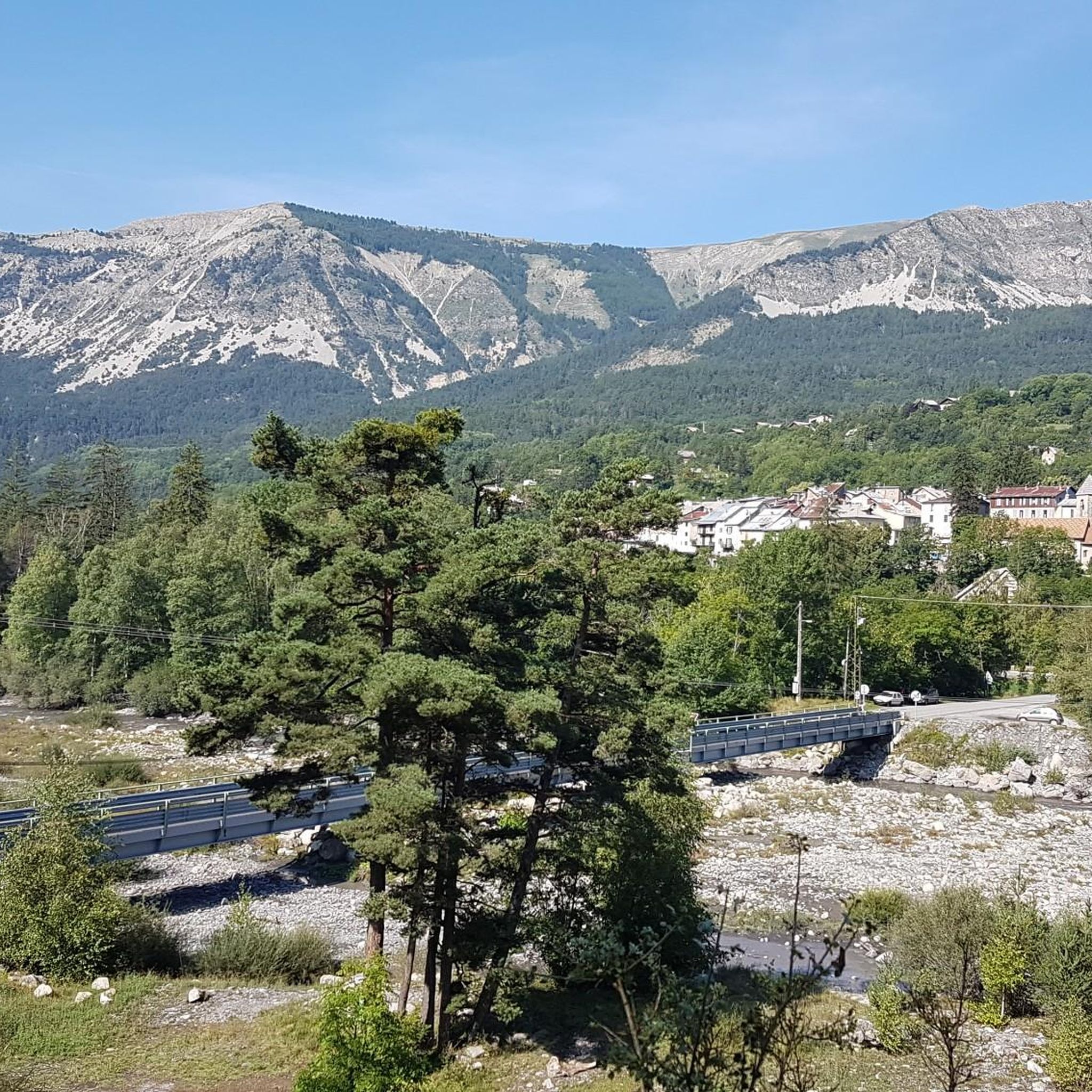
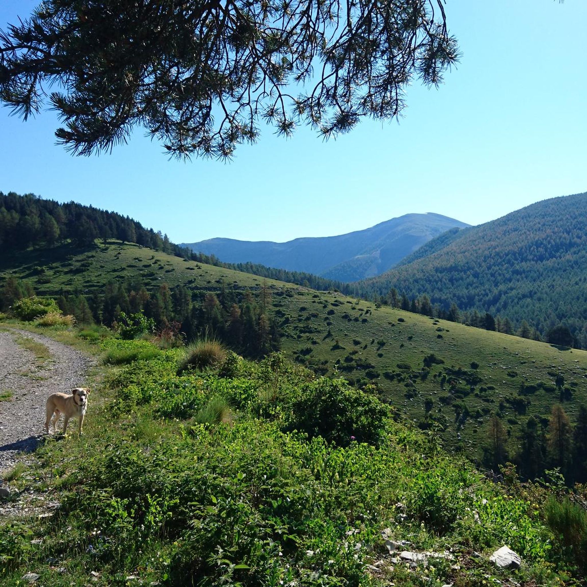
Road cycling routes around Beauvezer navigate a landscape characterized by mountain passes, river valleys, and historic villages. The region features significant elevation changes, with routes often ascending to cols and offering views of the surrounding Alps. Terrain varies from lakeside paths to challenging mountain climbs, providing diverse road cycling experiences.
Best road cycling routes around Beauvezer
- The most popular road cycling route is Lakeside Bar and Restaurant – Lake des Sagnes loop from Beauvezer, a 38.0 miles (61 km)…
Last updated: November 8, 2026
5.0
(5)
196
riders
80.7km
04:11
1,420m
1,420m
Hard road ride. Very good fitness required. Mostly well-paved surfaces and easy to ride.
4.2
(5)
172
riders
68.1km
03:07
780m
780m
Moderate road ride. Good fitness required. Mostly well-paved surfaces and easy to ride.

4.2
(10)
131
riders
75.0km
03:33
1,010m
1,010m
Hard road ride. Very good fitness required. Mostly well-paved surfaces and easy to ride.
5.0
(2)
108
riders
38.3km
02:28
1,090m
1,090m
Hard road ride. Very good fitness required. Some segments of this route may be unpaved and difficult to ride.
78
riders
56.8km
03:58
1,990m
1,990m
Hard road ride. Very good fitness required. Mostly well-paved surfaces and easy to ride.
Get access to more routes and recommendations from other explorers.
Already have an account?
Our route recommendations are based on thousands of hikes, rides, and runs completed by other people on komoot.
Start today with a free account
Your next adventure awaits.
Tips from the Community

The challenging final stretch of the climb to Col des Champs is surrounded by an infinite landscape
0
0

Sentinelle is an art object created by the English artist Goldworthy, world famous for his works in the art form 'Land Art'.
0
0

The Col des Champs is a mountain pass with an altitude of 2,087 meters and connects Haute-Provence with the Alpes-Maritimes, all within the Mercantour National Park. The pass is part of the so-called Route des Trois Cols, an interesting circular route with three passes above 2,000 meters. This route connects the Col d'Allos with the Col de la Cayolle via this pass, thus linking the Allos Valley (Haute-Verdon) with the Var Valley. Its two slopes share the ruggedness of a major Alpine pass.
0
0

Gorgeous pass with very little traffic and perfect asphalt.
18
0
In these areas all the towns are very beautiful and well-kept.
16
0
A long climb but never too difficult, the views are stunning.
17
0
Junction that takes you to Col de la Cayolle.
18
0
Before starting the long climb to the Col des Champs it is best to stock up on water.
17
0
Frequently Asked Questions
How many road cycling routes are available around Beauvezer?
There are over 25 dedicated road cycling routes around Beauvezer, offering a variety of experiences for different skill levels. The region is known for its mountain passes and river valleys.
Are there challenging road cycling routes for experienced riders in Beauvezer?
Yes, Beauvezer is an excellent destination for experienced road cyclists. The majority of routes, 16 out of 27, are classified as difficult. For instance, the Col de Toutes Aures (1,124 m) loop from Beauvezer is a challenging 81 km path with significant elevation gain, offering panoramic views.
What is the best time of year for road cycling in Beauvezer?
The best time for road cycling in Beauvezer is typically from late spring to early autumn (May to October). During these months, the weather is generally mild, and mountain passes are clear of snow, providing optimal conditions for exploring the region's diverse terrain.
Are there any moderate road cycling routes suitable for intermediate riders?
Absolutely. Beauvezer offers 11 moderate routes. A popular choice is the Lakeside Bar and Restaurant – Lake des Sagnes loop from Beauvezer, a 61 km route that takes around 2 hours 50 minutes to complete, featuring scenic lakeside views and varied terrain.
What kind of scenery can I expect on road cycling routes around Beauvezer?
Road cycling routes around Beauvezer offer diverse scenery, including mountain passes, river valleys, and historic villages. You'll encounter stunning views of the surrounding Alps, serene lakes, and fortified towns. Routes like the Colmars – Fortifications of Colmars loop from Colmars take you through historic fortifications and beautiful mountain landscapes.
Are there any family-friendly road cycling options in the Beauvezer area?
While many routes in Beauvezer feature significant elevation changes, some sections along river valleys or around lakes might be suitable for families with older children or those comfortable with moderate distances. It's recommended to check the specific route profiles for elevation and distance to ensure it matches your family's ability.
Where can I find parking for road cycling routes in Beauvezer?
Parking is generally available in Beauvezer village and other starting points for routes, such as Colmars. Look for designated parking areas within these villages, especially near tourist information centers or public spaces, which often serve as convenient starting points for cycling tours.
What do other road cyclists enjoy most about cycling in Beauvezer?
The area is highly rated by the komoot community, with an average score of 4.5 stars from over 40 reviews. Reviewers often praise the challenging mountain passes, the stunning panoramic vistas, and the opportunity to explore historic fortifications and picturesque villages along the routes.
Are there any circular road cycling routes around Beauvezer?
Yes, many of the road cycling routes around Beauvezer are designed as loops, allowing you to start and finish in the same location. Examples include the Lakeside Bar and Restaurant – Lake des Sagnes loop from Beauvezer and the Col de Toutes Aures (1,124 m) loop from Beauvezer.
What interesting landmarks or attractions can I see along the road cycling routes?
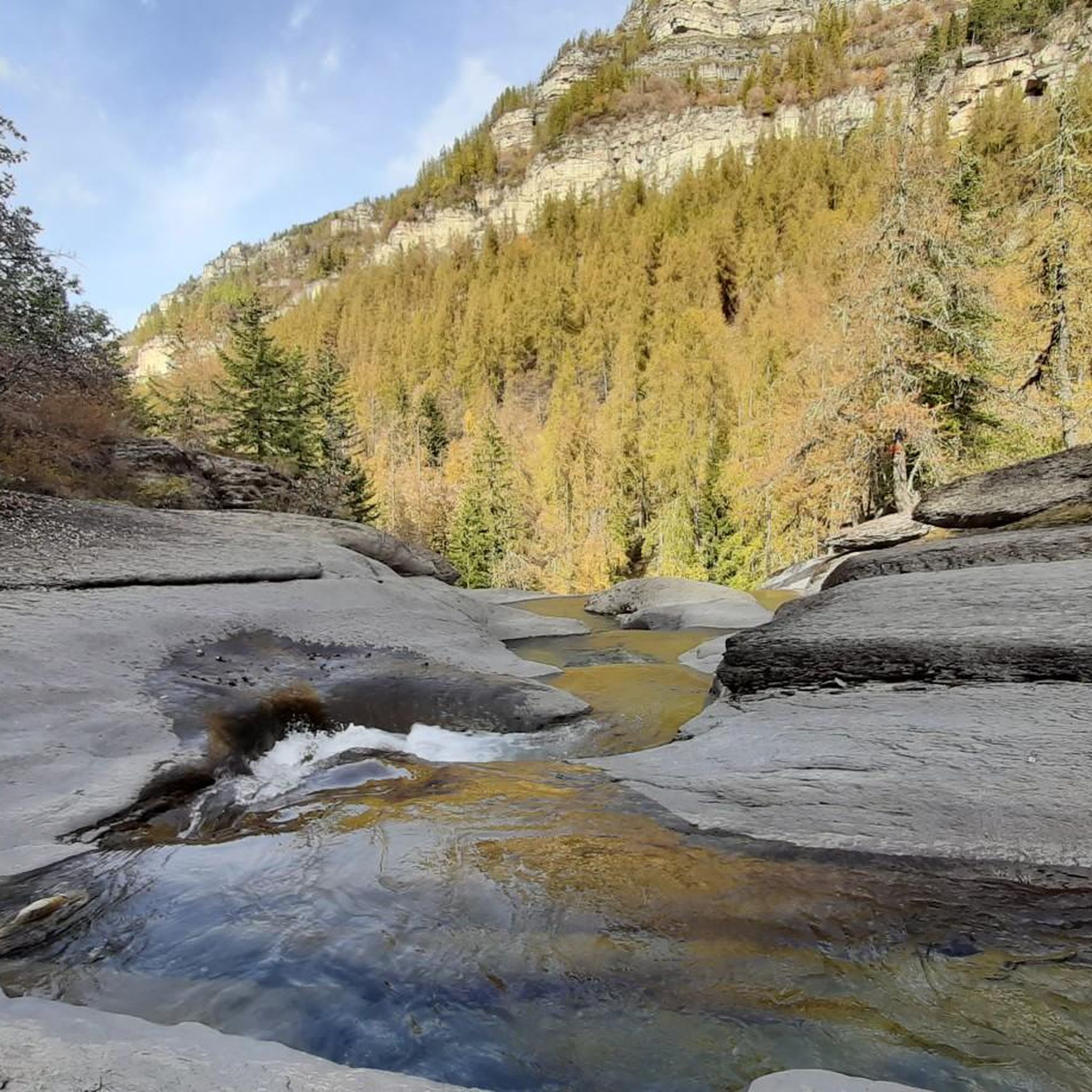
The region is rich in historical and natural attractions. Along your rides, you might encounter the impressive Fortifications of Colmars, the historic Fort de Savoie, or the scenic Champs Pass offering great viewpoints. There's also the beautiful Lance Waterfall nearby.
Are there opportunities to refuel or find cafes along the road cycling routes?
Yes, many routes pass through or near villages like Beauvezer and Colmars, where you can find cafes, restaurants, and small shops to refuel. It's always a good idea to carry sufficient water and snacks, especially on longer or more remote sections, but opportunities for breaks are available in the main settlements.
Can I access road cycling routes in Beauvezer using public transport?
Public transport options to Beauvezer and surrounding villages are limited, especially for transporting bicycles. While some regional bus services might operate, they may not be frequent or equipped for bikes. It's generally recommended to travel by car to the starting points of your chosen routes for convenience.
Most popular attractions around Beauvezer

Get inspired with the komoot mobile app


Explore more
Browse the best Road cycling routes in other regions.
