The best running trails around Rietheim
4.5
(365)
6,822
runners
489
runs
Jogging around Rietheim offers diverse landscapes at the edge of the Black Forest, providing varied terrain for runners. The region features natural monuments such as the Danube Sinkhole, where the river disappears underground, and the dramatic Danube Gorge near Beuron. Its varied topography includes hills and river valleys, making it suitable for different running preferences. This environment provides a network of paths and trails that cater to both casual and more challenging running experiences.
Best jogging routes around Rietheim
- The…
Last updated: November 11, 2026
54
runners
13.0km
01:25
70m
70m
Moderate run. Good fitness required. Mostly paved surfaces.
5.0
(1)
65
runners
Moderate run. Good fitness required. Mostly paved surfaces.

30
runners
Hard run. Very good fitness required. Mostly paved surfaces.
19
runners
4.68km
00:30
50m
50m
Easy run. Mostly paved surfaces.
16
runners
14.9km
01:38
70m
70m
Hard run. Good fitness required. Sure-footedness, sturdy shoes and alpine experience required.
Get access to more routes and recommendations from other explorers.
Already have an account?
Our route recommendations are based on thousands of hikes, rides, and runs completed by other people on komoot.
Start today with a free account
Your next adventure awaits.

Tips from the Community

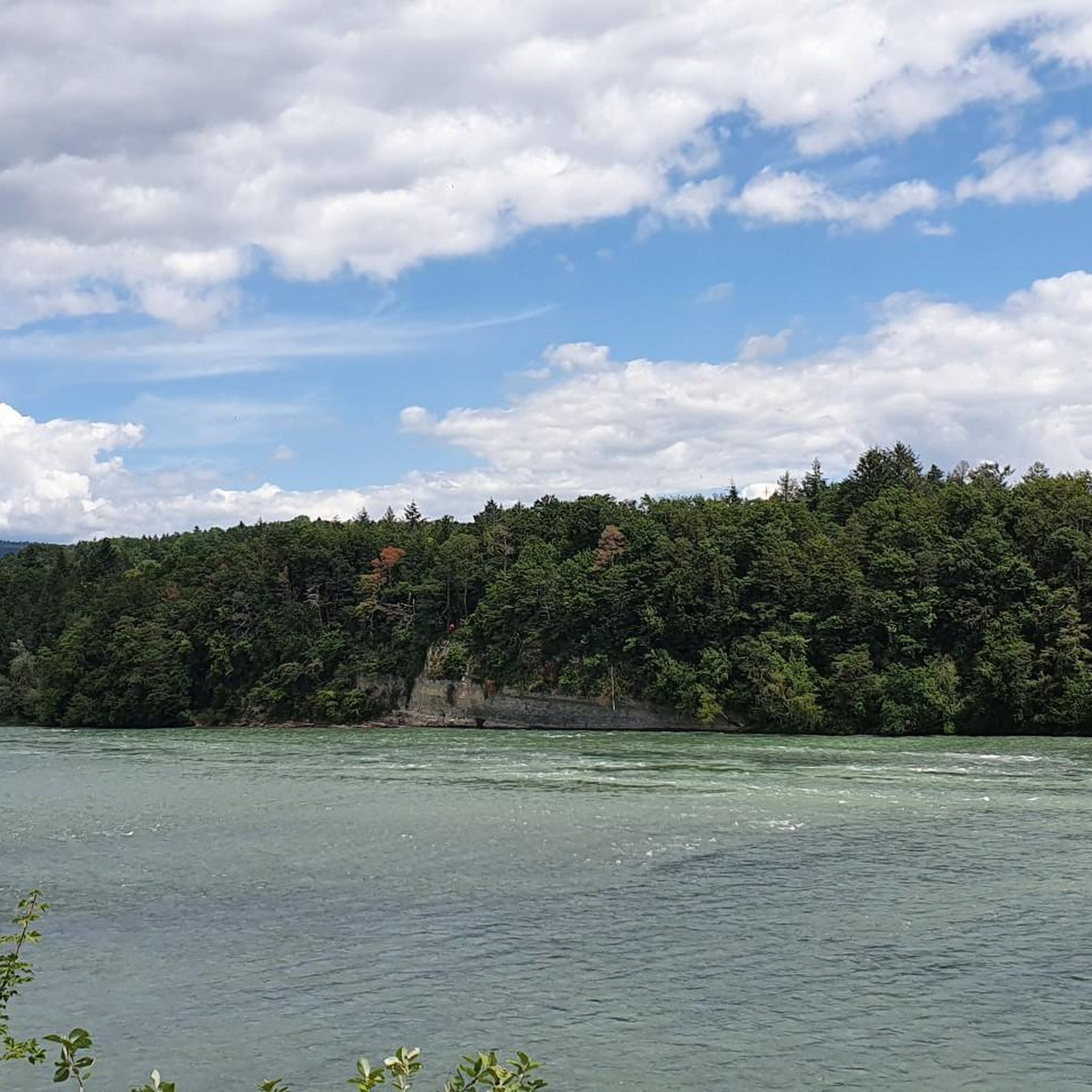
On the riverside path between Koblenz and Bad Zurzach, there are some bunkers from the 2nd World War. Only a few have been slightly converted, like this one here, and allow us to enjoy a beautiful view of the Rhine from the platform. Slow down a bit as the path around the bunker is a bit confusing and many hikers are encountered here.
0
0

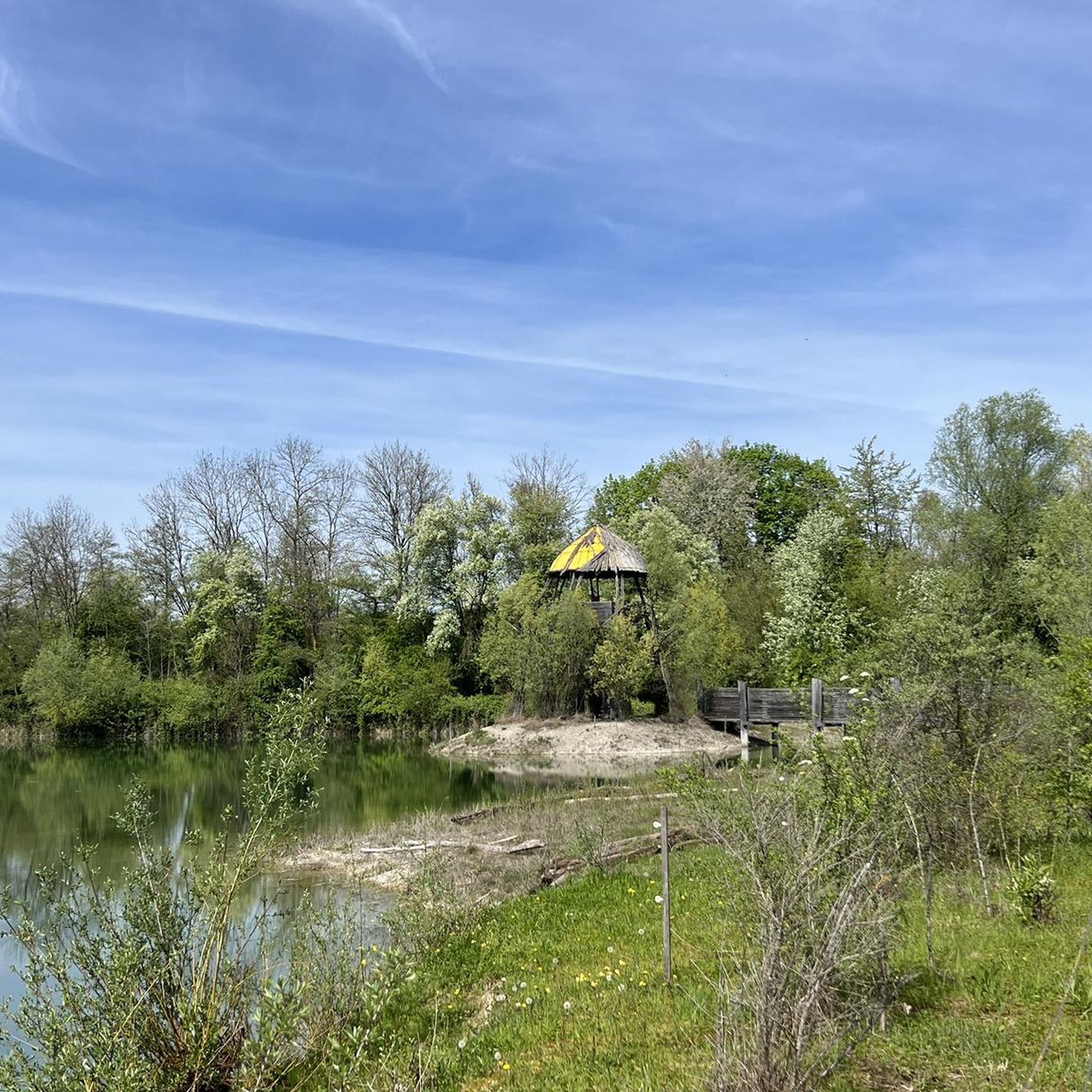
On the banks of the Wutach in Lauchringen, I ride very close to the water and enjoy the quiet, green surroundings. The section feels pleasantly connected to nature and invites you to slow down for a moment – a beautiful moment right on the Wutach.
0
0
On the banks of the Wutach in Lauchringen, I ride very close to the water, enjoying the quiet, green surroundings. The section feels pleasantly connected to nature and invites you to slow down for a moment – a beautiful moment right on the Wutach.
0
0
On the Wutach riverbank in Lauchringen, I ride very close to the water, enjoying the quiet, green surroundings. The section feels pleasantly connected to nature and invites you to slow down for a moment – a beautiful moment right on the Wutach.
0
0
At the Wutach waterfall with the small bridge, it's worth stopping for a moment to soak in the special atmosphere. The water, the natural surroundings, and the crossing over the Wutach make this spot a beautiful highlight on the tour – calm, fresh, and truly worth seeing.
0
0
On the Wutachuferweg, I ride nicely close to the water, enjoying the quiet, nature-close course of the route. The splashing of the Wutach, the green surroundings, and the relaxed path guidance make this section a really pleasant part of the tour.
0
0
A nice place to stop. Not only can you charge your e-bike for free and get it repaired at the self-service station, but there's also a bistro with drinks and ice cream, as well as chicken nuggets and fries.
0
0

Pilgrimage chapel in beautiful natural surroundings, perfect for a short break!
0
0
Frequently Asked Questions
How many running routes are available around Rietheim?
There are over 400 running routes around Rietheim, offering a wide variety of options. You'll find 57 easy routes, 287 moderate routes, and 69 challenging routes to explore.
What kind of terrain can I expect on jogging trails in Rietheim?
Jogging in Rietheim offers diverse landscapes at the edge of the Black Forest. You can expect varied terrain including river valleys, hills, and paths through natural monuments. The region's topography provides options for different running preferences, from gentle riverside paths to more challenging ascents.
Are there any scenic viewpoints or natural landmarks to see while running in Rietheim?
Yes, Rietheim is rich in natural features and scenic spots. You can enjoy expansive vistas of the Alps and the Black Forest from places like the Pilgrimage Church on Trinity Mountain. Notable natural landmarks include the unique Confluence of the Aare and Rhine, the Klingnau reservoir, and the dramatic Danube Gorge near Beuron. You might also encounter the Wutach-Lauffen Bridge and Waterfall on some routes.
Are there any running routes suitable for beginners in Rietheim?
Yes, Rietheim offers 57 easy running routes perfect for beginners or those looking for a relaxed run. These trails typically feature less elevation gain and smoother surfaces, allowing for a comfortable experience amidst the scenic surroundings.
Can I find challenging long-distance running trails in the Rietheim area?
Absolutely. For experienced runners seeking a challenge, there are 69 difficult routes available. Trails like the River Wutach – Wutach River loop from Rietheim, spanning 18.6 km, or the Rhine Riverside – Heron Observation Tower loop from Ettikon (18.0 km), offer significant distances and varied elevation profiles.
What do other runners say about the trails in Rietheim?
The running routes in Rietheim are highly regarded by the komoot community, holding an average score of 4.5 stars from over 200 reviews. Runners often praise the diverse landscapes, the well-maintained paths, and the opportunity to explore unique natural monuments like the Danube Sinkhole.
Are there any circular running routes around Rietheim?
Yes, many of the running routes in Rietheim are designed as loops, providing a convenient circular experience. For example, the Running loop from Homburg is a popular 9.9 km circular trail, and the River Wutach – Wutach Riverside Trail loop from Rietheim offers a longer 13.6 km option.
Are there any historical sites or castles along the running paths?
While primarily known for its natural beauty, you can find historical elements. For instance, the Besserstein Castle Ruins are located near some of the trails, offering a glimpse into the region's past amidst your run.
What is the best time of year for running in Rietheim?
Rietheim's diverse landscape makes it suitable for running throughout much of the year. Spring and autumn offer pleasant temperatures and beautiful scenery, with autumn providing vibrant colors. Summer is also popular, especially for riverside routes, while winter running can be picturesque, though conditions may vary.
Are there running routes that follow rivers or offer waterside views?
Yes, the region is characterized by its river valleys. Routes like the River Wutach – Wutach Riverside Trail loop from Rietheim and the Rhine bank – Rhine Riverside loop from Rietheim offer excellent opportunities to run alongside rivers, providing refreshing waterside views and a unique running experience.
Are there any routes where I might see unique natural phenomena?
Indeed. The region is home to the unique Danube Sinkhole (Donauversickerung), where the Danube river disappears underground. While not directly on a specific route listed, this natural phenomenon is a significant regional highlight that adds to the area's natural allure and can be explored in conjunction with longer runs.
Most popular attractions around Rietheim

Get inspired with the komoot mobile app


Explore more
Browse the best Running Trails & Routes in other regions.
