4.3
(1614)
75,788
runners
4,716
runs
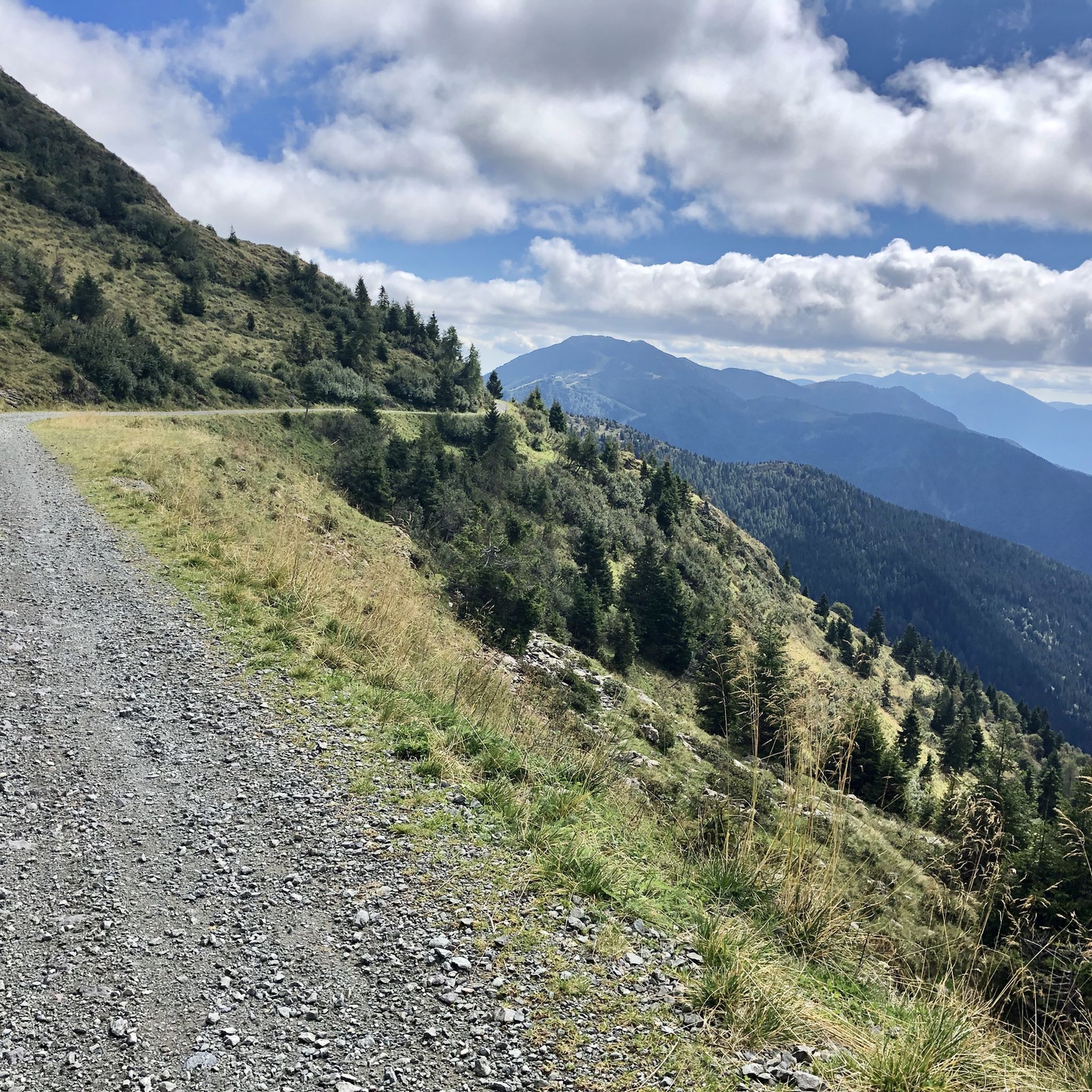
Jogging in Friuli Venezia Giulia offers diverse terrain, from the Julian Alps and Dolomites to verdant hills, tranquil lagoons, and the Adriatic coastline. The region's unique geographical blend provides a variety of running environments within a compact area. Runners can find challenging mountain routes with significant elevation gains, as well as flatter, more accessible paths along the coast and through natural reserves. This allows for exploration of varied landscapes, catering to different preferences and fitness levels.
Last updated: May 10, 2026
40
runners
8.27km
01:24
570m
570m
Prepare for a challenging jogging experience on the Lake Avostanis loop from Rifugio Casera Pramosio. This difficult 5.1-mile (8.3 km) route demands good fitness, featuring a significant 1876 feet (572 metres) of elevation gain that you can complete in about 1 hour and 24 minutes. You will jog along a varied path, including unpaved sections and gravel, as you climb towards the stunning Lago Avostanis, a glacial lake framed by high rocky walls and overlooked by Creta di Timau.
Your journey begins and ends at Rifugio Casera Pramosio, making it convenient for access and post-jog relaxation. While the trail is generally accessible, be ready for steep gradients, some reaching 20-25%, which require careful footing. The route primarily follows an old military road, offering a clear path through the alpine landscape. Consider starting early to make the most of the views and the refuge's offerings.
Beyond the physical challenge, this loop offers a rich historical context. You will pass a memorial dedicated to Maria Plozner Mentil, a
32
runners
14.5km
02:28
980m
970m
Embark on the challenging Passo Sella Sissanis and Lago Bordaglia ring tour, a difficult route through the Carnic Alps. This demanding trail covers 9.0 miles (14.5 km) with a substantial elevation gain of 3225 feet (983 metres), typically taking around 2 hours and 28 minutes. You will navigate varied terrain, from stony mule tracks and scree to natural footpaths, requiring very good fitness and sure-footedness. Along the way, enjoy magnificent panoramic views, including the small glacial Lake Pera from Sella Sissanis, before reaching the wonderful Lago Bordaglia, nestled among evergreen trees.
While the metadata lists this as a jogging route, the rugged terrain and significant elevation gain make it a hard hike best suited for those with alpine experience and sturdy shoes. The trail is particularly enchanting in autumn when the larch forests surrounding Lago Bordaglia turn spectacular orange hues. Be prepared for a strenuous mountain trek rather than a leisurely walk, ensuring you have the necessary fitness and equipment for a demanding day in the mountains.
This route is a naturalistic path within the Bordaglia-Fleons wildlife oasis, offering rich biodiversity and a chance to spot chamois, marmots, and even golden eagles. The area also holds significant geological interest, traversing a series of tectonic faults known as the Val di Bordaglia Line. Furthermore, you can observe remnants from World War I, as the region was a scene of intense fighting, adding a historical layer to your journey.

Sign up for free
4.0
(1)
23
runners
17.0km
03:12
1,110m
1,110m
The Monte Zaiavor loop offers a challenging jogging experience through the Prealpi Giulie Natural Park, covering 10.6 miles (17.0 km) with a significant elevation gain of 3654 feet (1114 metres). You will traverse varied terrain, starting in undergrowth and beech woods before opening up to grassy slopes and alpine pastures. Expect steep, wooded sections, rocky areas, and a narrow ridge, all while enjoying panoramic views of the Julian Prealps, the Adriatic Sea, and distant peaks like the Dolomites and the Canin Group. This difficult route typically takes around 3 hours and 11 minutes to complete.
Planning your visit requires careful consideration, as this is a hard route demanding very good fitness and sure-footedness. You should be prepared for non-trivial terrain, including exposed areas and steep slopes, with narrow zig-zags that can be challenging if the ground is wet. Sturdy shoes and alpine experience are highly recommended due to the technical difficulty, which aligns with SAC 4–6 on the Swiss Alpine Club Hiking Scale. Jogging the entire loop is best suited for very fit and experienced trail runners with appropriate gear.
Monte Zaiavor is a beautiful mountain and a top favorite among local adventurers within the Julian Prealps Natural Park. The summit, standing at 1815 meters, is marked by a cross and includes a summit register box for you to sign. The Bocchetta di Zaiavor also provides magnificent northward views. The park itself boasts a pristine natural environment with crystal-clear waters, caves, springs, and karst rocks, offering opportunities to spot wildlife such as chamois and eagles.
25
runners
6.64km
01:30
590m
590m
Prepare for a challenging jogging experience on the Julius Kugy Three Countries Trail, a difficult route spanning 4.1 miles (6.6 km). You will ascend a significant 1950 feet (594 metres), requiring about 1 hour and 30 minutes to complete. The terrain shifts from gravel paths to rocky alpine sections as you approach the stunning Lago Volaia, a heart-shaped lake set against a dramatic mountain backdrop. As you jog, you will also encounter magnificent views of Mount Coglians, with its steep, ocher-colored rock walls, adding to the alpine atmosphere.
Given the route's difficult rating and varied terrain, good fitness and sure-footedness are essential for this jogging adventure. Appropriate mountain footwear is highly recommended to navigate the rocky sections safely. Always check local conditions before you head out, especially concerning weather and trail accessibility, to ensure a smooth and enjoyable trip. Starting early in the day is often best to allow ample time and avoid afternoon heat or storms.
This trail offers more than just a physical challenge; it also provides a glimpse into history. Keep an eye out for marmots, which are often seen in the alpine environment. You can also explore recovered WWI trenches along the route, adding a unique historical dimension to your run. The combination of natural beauty, wildlife, and historical elements makes this route a notable experience in the region.
5
runners
14.7km
03:53
1,480m
1,480m
The Campanile di Val Montanaia loop hike from Rifugio Pordenone offers a challenging journey through the Friulian Dolomites, leading you to a unique 300-meter spire. You will begin with a wooded ascent before following the Rio di Val Montanaia, navigating a path through limestone boulders and scree with a considerable incline. This difficult route covers 9.1 miles (14.7 km) with a significant 4867 feet (1483 metres) of elevation gain, typically taking around 3 hours and 52 minutes to complete. It is not suitable for jogging due to the demanding terrain.
Planning your visit requires good preparation; this is a medium to difficult trek best suited for experienced hikers with strong fitness levels. You will need sure-footedness, sturdy hiking shoes, and some alpine experience to tackle the strenuous climbs and rough terrain. Be aware of potential hazards like difficult wayfinding and the risk of falling rocks, especially in the scree valleys. The trail starts directly from Rifugio Pordenone, serving as your base for this demanding mountain adventure.
This region of the Friulian Dolomites, located east of Cortina d'Ampezzo, is less crowded than other parts of the Dolomites, providing a sense of solitude amidst majestic scenery. The Campanile di Val Montanaia itself is world-renowned in mountaineering circles for its distinctive shape and challenging climbing routes. You can reach Bivacco Perugini near the Campanile for an iconic break and to admire this natural obelisk up close, making it a truly memorable destination.
6
runners
7.30km
01:07
330m
330m
Embark on the Nature Reserve Val Rosandra — ring tour, a challenging jogging route that takes you through dramatic limestone cliffs and varied terrain. This 4.5-mile (7.3 km) loop features a significant 1069 feet (326 metres) of elevation gain, making it a difficult but rewarding experience for experienced trail runners. As you navigate the rocky paths, you will encounter the impressive 40-meter Supet Falls and dense forests, with glimpses of Mediterranean shrubland and karst heathlands.
To prepare for this demanding route, ensure you wear sturdy trail shoes with good ankle support, as the varied and sometimes rugged terrain requires sure-footedness. The Rifugio Premuda, known as Italy's lowest mountain hut, serves as a convenient starting point for many trails in the reserve and offers a place to refresh yourself before or after your run. Plan for approximately 1 hour and 6 minutes to complete the loop, depending on your pace and fitness level.
This reserve is a unique geological landscape where the Karst plateau meets the sea, shaped by the Rosandra River, the only surface stream in the Trieste Karst region. Beyond its natural beauty, you can spot the remains of an ancient Roman aqueduct along some paths, adding a historical dimension to your run. The area is also rich in biodiversity, hosting rare plant species and various wildlife, making it a notable destination for those who appreciate both natural and historical significance.
9
runners
12.5km
02:21
960m
980m
Prepare for a difficult jogging adventure on the Casera Ungarina and Malga Confin Loop, a challenging route that spans 7.8 miles (12.5 km) and climbs a significant 3161 feet (963 metres). This demanding journey, estimated to take 2 hours and 21 minutes, leads you through the rugged Val Venzonassa. You will jog through dense beech and fir forests, which eventually open up to reveal panoramic clearings. Keep an eye out for the small, picturesque lake near Malga Ungarina, a perfect spot to pause and take in the wild atmosphere. The terrain requires sure-footedness, especially on the steep sections as you ascend from Venzone.
This loop is best suited for experienced trail runners with very good fitness and alpine experience; it is not for casual jogging. You will need sturdy shoes to navigate the varied terrain, which includes alpine paths, gravel, and unpaved sections. Consider tackling this route in spring or autumn, when the forests are at their most vibrant and the temperatures are ideal for such a demanding effort. Always check local conditions before you head out.
As you complete the loop, you will be rewarded with incredible views stretching across the Tagliamento River plain and towards the historic center of Venzone. The Prealpi Giulie Natural Park is rich in biodiversity, so keep an eye out for local wildlife like roe deer and chamois as you move through the landscape. This trail offers a deep immersion into the natural beauty of the region, making it a standout experience for those seeking a true challenge.
12
runners
20.0km
04:34
1,800m
1,800m
Prepare for a difficult jogging challenge on the Bila Pec and Rifugio Gilberti Loop, covering 12.4 miles (20.0 km) with a significant 5918 feet (1804 metres) of elevation gain. This route typically takes around 4 hours and 34 minutes to complete. You will experience varied terrain, from rocky paths to sections of a historic war mule track, all while enjoying panoramic vistas of the Julian Alps, including clear views of the Montasio and Jof Fuart mountain groups. Keep an eye out for the impressive Fontanone di Goriuda waterfall as you navigate the striking karst landscape.
Given the route's rocky and uneven terrain, sturdy trail running footwear is highly recommended to ensure your comfort and safety. While this trail is considered moderate for hiking, its substantial elevation gain makes it very challenging for jogging. Always check local conditions before you go, paying close attention to weather forecasts and trail accessibility to plan your visit effectively.
This loop offers more than just a physical test; it also provides a glimpse into history with the remnants of the Caserme del Poviz, World War I barracks. As you traverse the striking karst landscape, you might spot local wildlife such as ibex and chamois. The trail's unique blend of natural beauty and historical elements makes it a notable experience in the Julian Prealps Natural Park.
5.0
(1)
4
runners
11.1km
02:55
1,020m
1,020m
Prepare for a challenging jogging experience on the Monte Chiavals Loop via Bivacco Bianchi. This difficult route spans 6.9 miles (11.1 km) and demands a significant 3353 feet (1022 metres) of elevation gain, typically taking you around 2 hours and 55 minutes to complete. You will start your journey through pleasant beech woods, which gradually give way to vibrant flower meadows as you ascend. The trail offers extraordinary panoramas of rugged reliefs and deep valleys, culminating in a spectacular 360-degree view of the Carnic Alps from Monte Chiavals Summit. Along the way, you will encounter the charming wooden Bianchi Bivouac, perfectly positioned for expansive views.
Before you set out, be aware that this difficult jogging loop requires careful preparation. It is not advised during uncertain weather conditions or when there is ice on the ground, as wet or icy surfaces can become very slippery. You will need sure-footedness, sturdy shoes, and alpine experience, especially on exposed sections of the route. If you are less prepared for the full challenge, consider jogging only as far as the Bianchi Bivouac and returning via the same path.
This loop is situated within the Val Alba Regional Natural Reserve, a unique transition zone known for its diverse ecosystems. The reserve provides a habitat for various flora and fauna, making your jogging experience not just physically rewarding but also scenically rich. The route's challenging nature and the stunning views from Monte Chiavals Summit make it a notable option for experienced trail runners seeking a demanding adventure in the Carnic Alps.
10
runners
17.2km
03:39
1,120m
1,120m
Embark on a difficult 10.7-mile (17.2 km) loop tour that takes you through varied alpine terrain, offering stunning panoramic views. This challenging route, with an elevation gain of 3675 feet (1120 metres), typically takes around 3 hours and 39 minutes to complete, though experienced hikers might take longer given its demanding nature. You will traverse natural, unpaved sections, some steep paths through woods, and even parts with rock faces, all while admiring the majestic mountains of the Canin and Jouf Fuart groups from Passo degli Scalini.
This demanding trail requires a very good level of fitness, sure-footedness, and alpine experience. Make sure you wear sturdy shoes and are prepared for significant elevation changes. While the route is generally considered a hard hike, not a typical jogging path, it promises a rewarding experience for those seeking a rigorous outdoor adventure. Plan your visit carefully, as some sections may require extra caution and experience.
Along the way, you can enjoy a pleasant break at Malga Cragnedul and find relaxation and typical Friulian cuisine at Rifugio Giacomo di Brazzà, nestled in greenery on the Montasio Plateau. The trail also offers a glimpse into history, as parts of the route follow traces of World War I paths, adding a unique historical dimension to your alpine journey.
Get access to more routes and recommendations from other explorers.
Sign up for free
Already have an account?
Our route recommendations are based on thousands of hikes, rides, and runs completed by other people on komoot.
Start today with a free account
Your next adventure awaits.
Login or Signup
Popular around Friuli Venezia Giulia
Running Trails in Udine
Running Trails in Trieste
Running Trails in Obalno-kraška
Running Trails in Pordenone
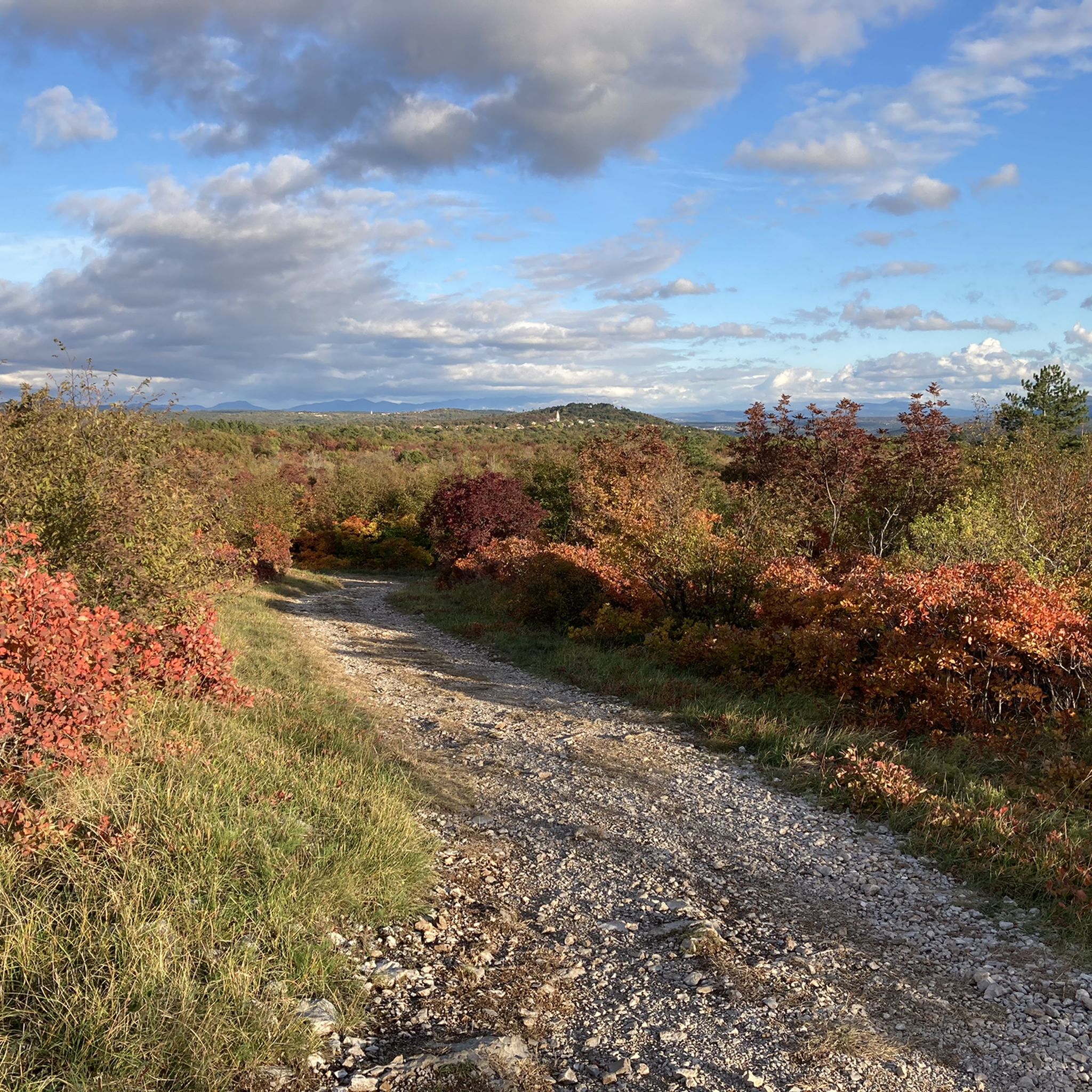
Running Trails in Gorizia

A trail running adventure in the Dolomites – Alta Via 6
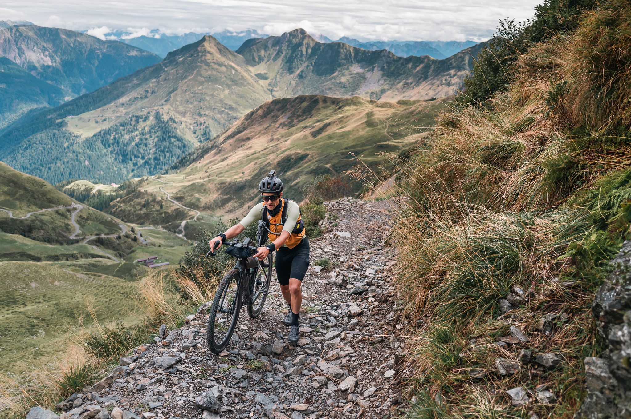
Sneak Peaks ADVENTURE 🥇
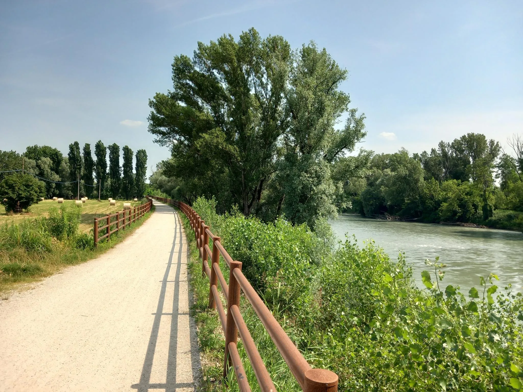
Via Postumia – Hike between the Tyrrhenian and Adriatic seas
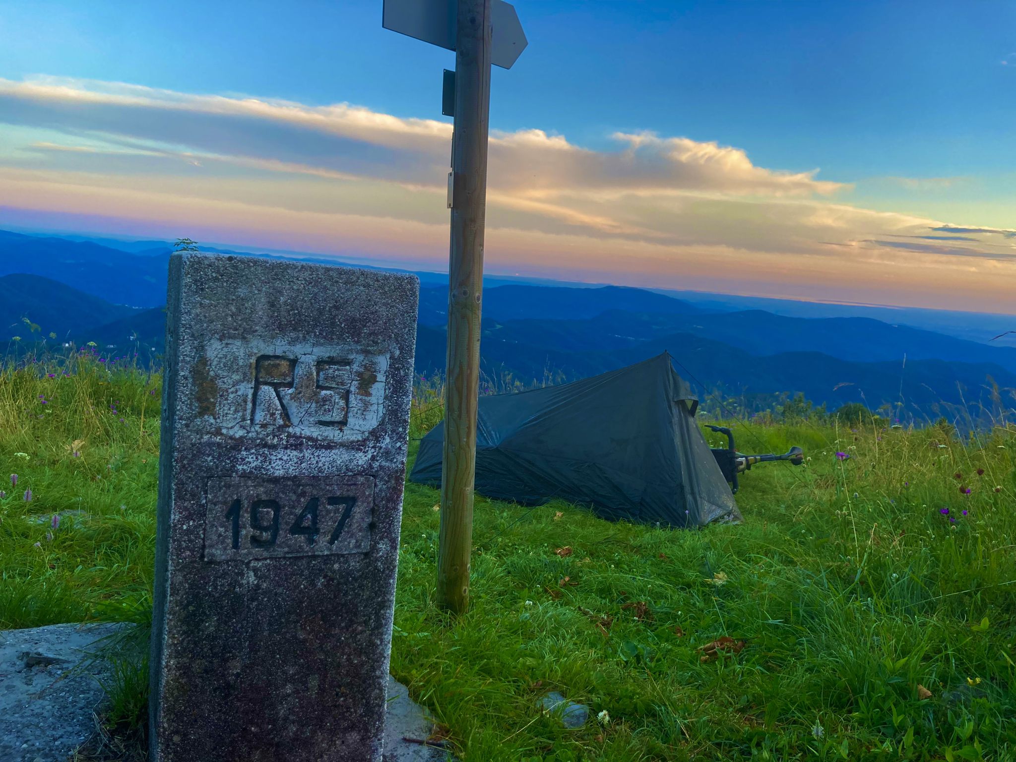
From Bavaria to the Adriatic - My Bikepacking Adventure to Croatia 2023
EuroVelo 9 – The Amber Route from the Baltic to Adriatic Sea
Located behind Trieste, Val Rosandra is a unique nature reserve where the homonymous stream has carved the only deeply incised valley of the Trieste Karst. The landscape is dominated by rugged limestone cliffs, white scree slopes, and vegetation that blends Mediterranean and continental species. Famous for its 36-meter-high waterfall, the valley is a sanctuary of biodiversity and history: it hosts the remains of a 1st-century AD Roman aqueduct and the ancient church of Santa Maria in Siaris. A prime location for Trieste's mountaineering, its cliffs were the school of Emilio Comici. Between arduous trails and views of the Gulf, Val Rosandra represents a concentration of wild nature and millennia-old testimonies, suspended between the Karst plateau and the Adriatic Sea.
0
0
Beautiful refuge with the possibility of staying overnight and eating, it is in fact the seat of an agriturismo.
0
0
The beautiful Lambertenghi-Romanin refuge is currently closed for renovation. Located at an altitude of 1955 meters, just before the saddle overlooking WolayerSee, it is an excellent base on the Italian side for the ascent to Cima Coglians and the Carnic traverse.
0
0
Super good, helpful and hardworking managers, young people who are committed and should be rewarded
0
0
Malga Confin, 1331 meters. In summer this refuge functions as a farmhouse.
0
0
There are magical places in the Dolomites, even far from the over-frequented places: this is one of those places... wonderful!
0
0
A beautiful refuge, you can truly feel the refuge atmosphere. Well-managed, excellent food. Thanks to the two managers, Marika and Ivan: extraordinary!
0
0
Hello! And welcome to the Julian Prealps Natural Park. The Malga Confin farmhouse is one of the places where you can savor and discover the flavors of the region. But that's not all! Numerous hiking trails in the valley and the surrounding peaks depart from the mountain hut. Find more information at: https://www.altulin.com/malga-confin.html
0
0
Friuli Venezia Giulia offers a vast network of running routes, with over 4,400 trails available for exploration. These routes cater to various fitness levels, from easy paths to challenging mountain runs.
The region boasts incredibly diverse terrain. You can find challenging routes in the Julian Alps and Dolomites, including trails in the Prealpi Giulie Natural Park with significant elevation gains. For flatter options, the Adriatic coast offers scenic paths, and the Karst region provides unique landscapes with pedestrian and cycle paths. Rivers like the Tagliamento and lakes such as Lago del Predil also offer picturesque settings.
While many routes in Friuli Venezia Giulia are challenging, there are indeed easier options. The region offers over 300 easy routes, particularly along the coast or through less mountainous areas. The nature reserves of the Grado and Marano lagoons, for instance, feature specially constructed bike paths suitable for running that follow the coastline.
Yes, Friuli Venezia Giulia has paths suitable for families. Flatter, more accessible routes along the coast, such as Trieste's seafront along Barcola, are popular choices. Additionally, some nature reserves and dedicated pedestrian-cycle paths, like the "Giordano Cottur" in Trieste, offer a blend of nature and history on relatively easy terrain.
Many natural areas and trails in Friuli Venezia Giulia are dog-friendly, especially those outside protected zones with specific regulations. Always check local signage in natural parks like the Prealpi Giulie or Friuli Dolomites, as rules regarding dogs (e.g., on-leash requirements) may apply to protect wildlife.
You can find many scenic routes with attractions. The Nature Reserve Val Rosandra near Trieste offers trails winding through geological landscapes, featuring caves, cliffs, and a 30-meter waterfall (Fontanone di Goriuda). Coastal routes near Trieste provide views of the Adriatic Sea and landmarks like the Castle of Miramare. Mountain routes often boast panoramic views of the Julian Alps and historical World War I sites.
Yes, the Val Rosandra Nature Reserve is a prime location for this, featuring a notable 30-meter waterfall, the Fontanone di Goriuda, along its trails. Other areas in the mountainous regions may also have seasonal waterfalls, especially after rainfall or snowmelt.
The best time largely depends on the terrain you prefer. Spring and autumn offer pleasant temperatures for running across most of the region, including coastal and hilly areas. For high-altitude mountain routes, summer (June to September) is ideal when trails are free of snow. Coastal paths are enjoyable year-round, though summers can be hot.
Yes, many routes in Friuli Venezia Giulia are designed as loops. Examples include the popular Lake Avostanis - loop hike from Rifugio Casera Pramosio, the Passo Sella Sissanis and Lago Bordaglia — ring tour, and the Monte Zaiavor — loop hike in the Prealpi Giulie Natural Park, offering varied distances and difficulties.
Accessibility varies by location. Major towns like Trieste and Udine have good public transport links to nearby trails. For routes in natural parks or more remote mountain areas, car access is often necessary, and parking facilities are usually available near trailheads or refuges. It's advisable to check specific route details for parking and public transport information.
Generally, permits are not required for recreational running on marked trails within the natural parks of Friuli Venezia Giulia. However, certain protected areas or specific events might have regulations. It's always a good practice to check the official websites of parks like the Prealpi Giulie Natural Park or Friuli Dolomites Natural Park for any specific rules or restrictions before your visit.
The running routes in Friuli Venezia Giulia are highly rated by the komoot community, with an average score of 4.3 stars from over 1,500 reviews. Runners often praise the region's diverse terrain, from challenging alpine scenery to beautiful coastal paths, and the extensive network of trails that cater to various ability levels.
Many popular running areas, especially near towns or natural park entrances, offer options for refreshments and accommodation. Mountain refuges (Rifugi) are common along alpine routes, providing food and lodging. Coastal towns like Grado and Trieste have numerous cafes, restaurants, and hotels. For specific routes, checking the starting points or nearby villages will usually reveal available services.


Check out more Running Trails & Routes throughout Friuli Venezia Giulia below and find the perfect route in your destination.
Browse the best Running Trails & Routes in other regions.