The best running trails around Ozolles
4.4
(22)
556
runners
158
runs
Jogging around Ozolles offers diverse terrain across the Saône-et-Loire department in Burgundy-Franche-Comté. The region features a blend of natural landscapes, including the bocage Charolais with its hedgerows and rolling hills, and more elevated areas like Montagne de Dun, Butte de Suin, and Mont Saint-Cyr. These physical features provide varied running routes through woodlands and open countryside.
Best jogging routes around Ozolles
- The most popular jogging route is Running loop from Beaubery, a moderate 4.45 miles (7.2 km) trail that takes about 48 minutes to complete. This loop offers varied terrain through the local countryside.
- Another top favourite among local runners is Étang des Clefs loop from Gibles, a moderate 6.53 miles (10.5 km) path. This route circles the Étang des Clefs, providing scenic views of the water and surrounding nature.
- Local runners also love the Montagne Saint-Cyr – Mount St. Cyr loop from Gibles, a 9.02 miles (14.5 km) trail leading through the Montagne Saint-Cyr area, often completed in about 1 hour 42 minutes.
- Jogging around Ozolles is defined by bocage landscapes, rolling hills, and woodlands, with routes offering elevation changes from gentle slopes to more challenging climbs. The network offers options for different ability levels, from easy paths to difficult trails.
- The routes in Ozolles are highly rated by the komoot community with an average score of 4.3 stars from over 20 reviews. More than 500 runners have used komoot to explore Ozolles's varied terrain.
Last updated: May 21, 2026
10
runners
7.16km
00:48
170m
170m
Moderate run. Good fitness required. Mostly paved surfaces. Suitable for all skill levels.
9
runners
10.5km
01:12
230m
230m
Moderate run. Good fitness required. Mostly paved surfaces. Suitable for all skill levels.

Sign up for free
4.0
(1)
9
runners
14.5km
01:42
440m
440m
Hard run. Very good fitness required. Mostly paved surfaces. Suitable for all skill levels.
8
runners
9.75km
01:10
190m
190m
Moderate run. Good fitness required. Mostly paved surfaces. Suitable for all skill levels.
8
runners
10.2km
01:12
180m
180m
Moderate run. Good fitness required. Mostly paved surfaces. Suitable for all skill levels.
Get access to more routes and recommendations from other explorers.
Sign up for free
Already have an account?
Our route recommendations are based on thousands of hikes, rides, and runs completed by other people on komoot.
Start today with a free account
Your next adventure awaits.
Login or Signup
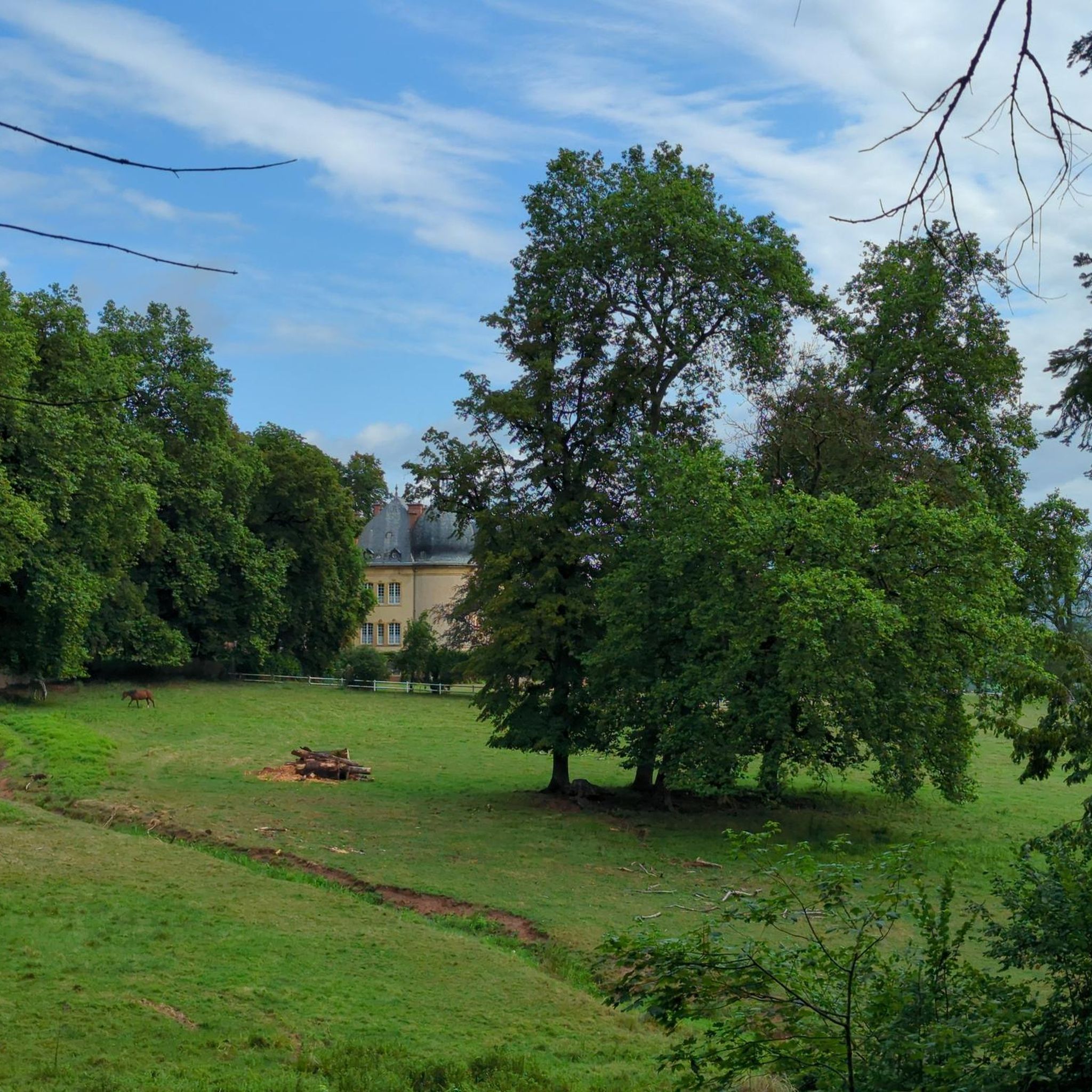

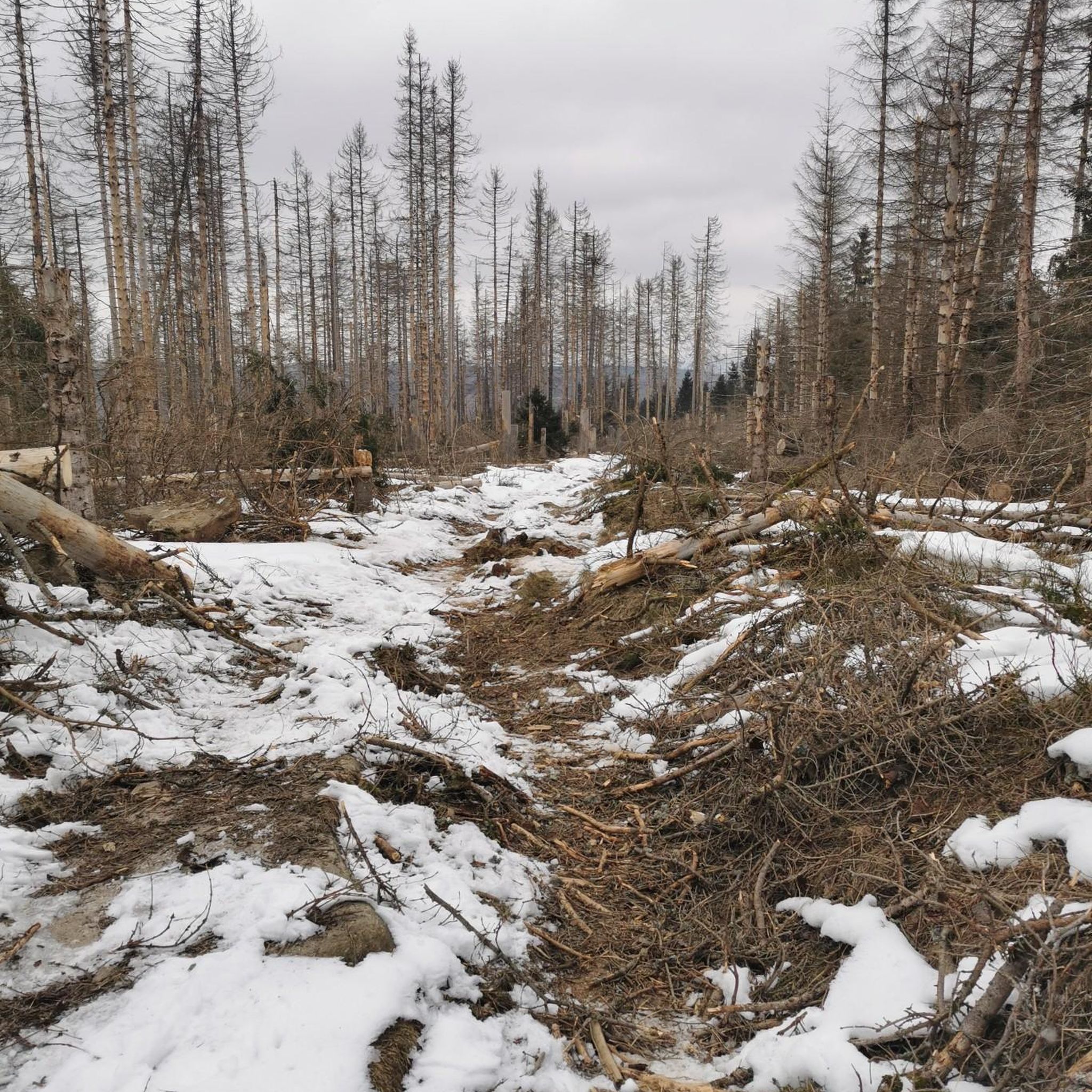
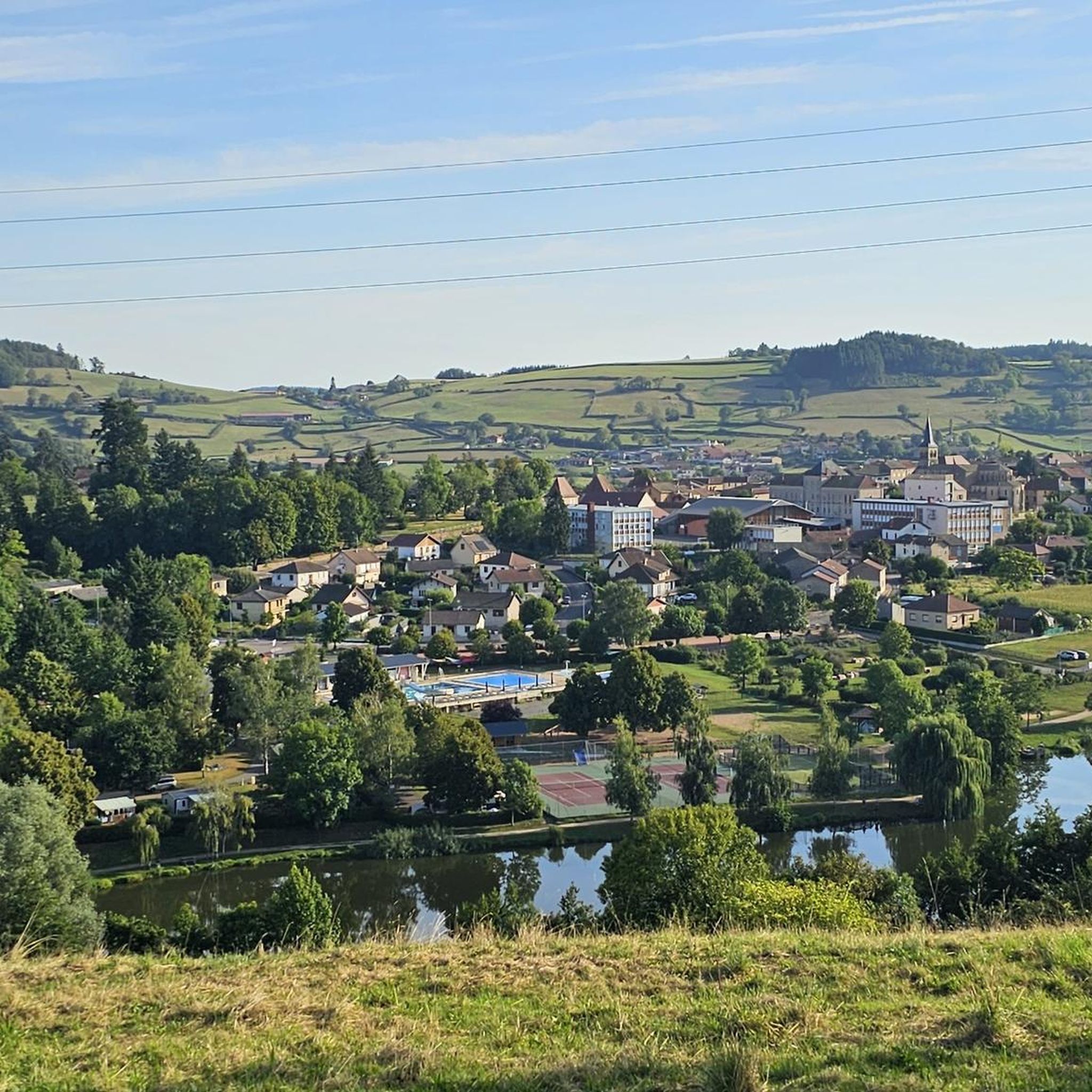

Tips from the Community

Impressive views over southern Burgundy and Haut-Beaujolais
0
0

A very steep climb from Montmelard, not much fun by bike. View is good, best very early or in the evening.
0
0

Mont Saint-Cyr, with its 771 m, is the highest point of the Mâconnais mountains. From its summit, you can enjoy a 360° view of the surroundings and even of the Alps when the weather allows it.
2
0
Mont Saint-Cyr, at 771 m, is the highest point of the Mâconnais mountains. From its summit, you can enjoy a 360° view of the surroundings and even of the Alps when the weather allows it.
3
0


It is a tough climb to the viewpoint, but the reward is a superior view on the landscape and a nice are to take a rest
1
0
Frequently Asked Questions
How many running routes are available around Ozolles?
There are over 140 jogging routes available around Ozolles, offering a wide range of options for different preferences and fitness levels. The komoot community has explored more than 500 routes in the area.
What kind of terrain can I expect on jogging routes in Ozolles?
Jogging routes in Ozolles feature a diverse landscape, from the picturesque bocage Charolais with its hedgerows and rolling hills to more elevated areas like Montagne de Dun, Butte de Suin, and Mont Saint-Cyr. You'll find paths through woodlands, open countryside, and some sections on tarmac, offering varied elevation changes from gentle slopes to challenging climbs.
Are there any easy or beginner-friendly running paths in the area?
Yes, Ozolles offers several easy jogging routes suitable for beginners. There are 9 routes specifically classified as easy, providing gentle paths through the scenic countryside. These are perfect for a relaxed run or a warm-up.
Where can I find more challenging running routes near Ozolles?
For those seeking a challenge, Ozolles has 38 difficult running routes. One notable option is the Montagne Saint-Cyr – Mount St. Cyr loop from Gibles, which is 14.5 km long and involves significant elevation changes, leading through the Montagne Saint-Cyr area, the highest point of the Mâconnais mountains.
Are there any circular jogging routes available?
Yes, many of the running routes around Ozolles are circular, allowing you to start and finish at the same point. For example, the popular Running loop from Beaubery is a moderate 7.2 km circular trail, and the Étang des Clefs loop from Gibles offers a scenic 10.5 km circular path around the lake.
What are some scenic running trails with good viewpoints?
Ozolles is rich in scenic viewpoints. The Mount Dun (708m) offers panoramic views where you can see up to 35 church steeples on a clear day. Similarly, Suin Hill (593m) provides wonderful vistas, and Mount St. Cyr (771m) boasts a 360-degree panorama that can extend to the Alps. Many routes incorporate these elevated points.
Can I bring my dog on the running trails in Ozolles?
Generally, dogs are welcome on trails in the Saône-et-Loire department. However, it's always advisable to keep your dog on a leash, especially in areas with livestock or near nature reserves, and to respect local signage. Always carry bags to clean up after your pet.
Are there family-friendly jogging options around Ozolles?
Yes, the region offers several family-friendly paths, particularly among the 9 easy routes. These trails often pass through tranquil hamlets and picturesque bocage landscapes, providing a pleasant experience for families. Look for routes with minimal elevation gain and shorter distances.
What landmarks or attractions can I see while running in Ozolles?
Beyond the natural beauty, you can encounter historical sites. Some routes might offer glimpses of magnificent French gardens, such as those at Drée Castle, or pass by the scenic Château de La Clayette, built on the edge of a pond. The area also features Romanesque chapels and traditional stone houses.
Are there any routes that pass by lakes or water features?
Yes, several routes incorporate beautiful water features. The Étang des Clefs loop from Gibles circles the Étang des Clefs, offering scenic views of the water. Another option is the Étang de Rambuteau loop from Gibles, which also features a picturesque lake.
What do other runners say about the trails in Ozolles?
The running routes in Ozolles are highly rated by the komoot community, with an average score of 4.3 stars from over 20 reviews. Runners often praise the varied terrain, the peaceful atmosphere of the bocage landscapes, and the rewarding panoramic views from the higher points like Montagne de Dun and Mont Saint-Cyr.
What is the best time of year for jogging in Ozolles?
The Burgundy region generally offers pleasant conditions for outdoor activities from spring through autumn. Spring brings blooming landscapes, while autumn showcases vibrant foliage. Summer is also suitable, though it's best to run in the mornings or evenings to avoid the midday heat. Winter jogging is possible, but some trails might be muddy or slippery.
Can I find refreshments or places to eat near the running paths?
While Ozolles itself is a small commune, the broader region of Saône-et-Loire has various villages and towns with cafes, pubs, and restaurants. It's recommended to check local amenities in nearby towns like Gibles, Mussy-sous-Dun, Dompierre-les-Ormes, or Suin, especially if planning a longer run, as options directly on the trails may be limited.
Most popular attractions around Ozolles

Get inspired with the komoot mobile app


Explore more
Browse the best Running Trails & Routes in other regions.
