The best walks and hikes around Ozolles
4.6
(178)
701
hikers
125
hikes
Hiking around Ozolles offers a landscape characterized by rolling hills, historical sites, and varied terrain suitable for exploration. The region features several notable points of interest, including castles and mounts, providing diverse backdrops for outdoor activities. Elevation changes are generally moderate, making the area accessible for a range of hiking abilities. The network of paths winds through rural settings, connecting villages and natural features.
Best hiking trails around Ozolles
- The most popular hiking route is Montrouant Castle loop from Gibles…
Last updated: May 21, 2026
4.3
(6)
27
hikers
5.95km
01:39
100m
110m
Easy hike. Great for any fitness level. Easily-accessible paths. Suitable for all skill levels.
5.0
(4)
13
hikers
10.5km
02:59
230m
230m
Moderate hike. Good fitness required. Easily-accessible paths. Suitable for all skill levels.

Sign up for free
3.7
(3)
5
hikers
7.48km
02:07
170m
170m
Moderate hike. Good fitness required. Easily-accessible paths. Suitable for all skill levels.
5.0
(1)
5
hikers
9.35km
02:51
340m
340m
Moderate hike. Good fitness required. Easily-accessible paths. Suitable for all skill levels.
3.5
(2)
6
hikers
9.24km
02:33
160m
150m
Moderate hike. Good fitness required. Easily-accessible paths. Suitable for all skill levels.
Get access to more routes and recommendations from other explorers.
Sign up for free
Already have an account?
Our route recommendations are based on thousands of hikes, rides, and runs completed by other people on komoot.
Start today with a free account
Your next adventure awaits.
Login or Signup

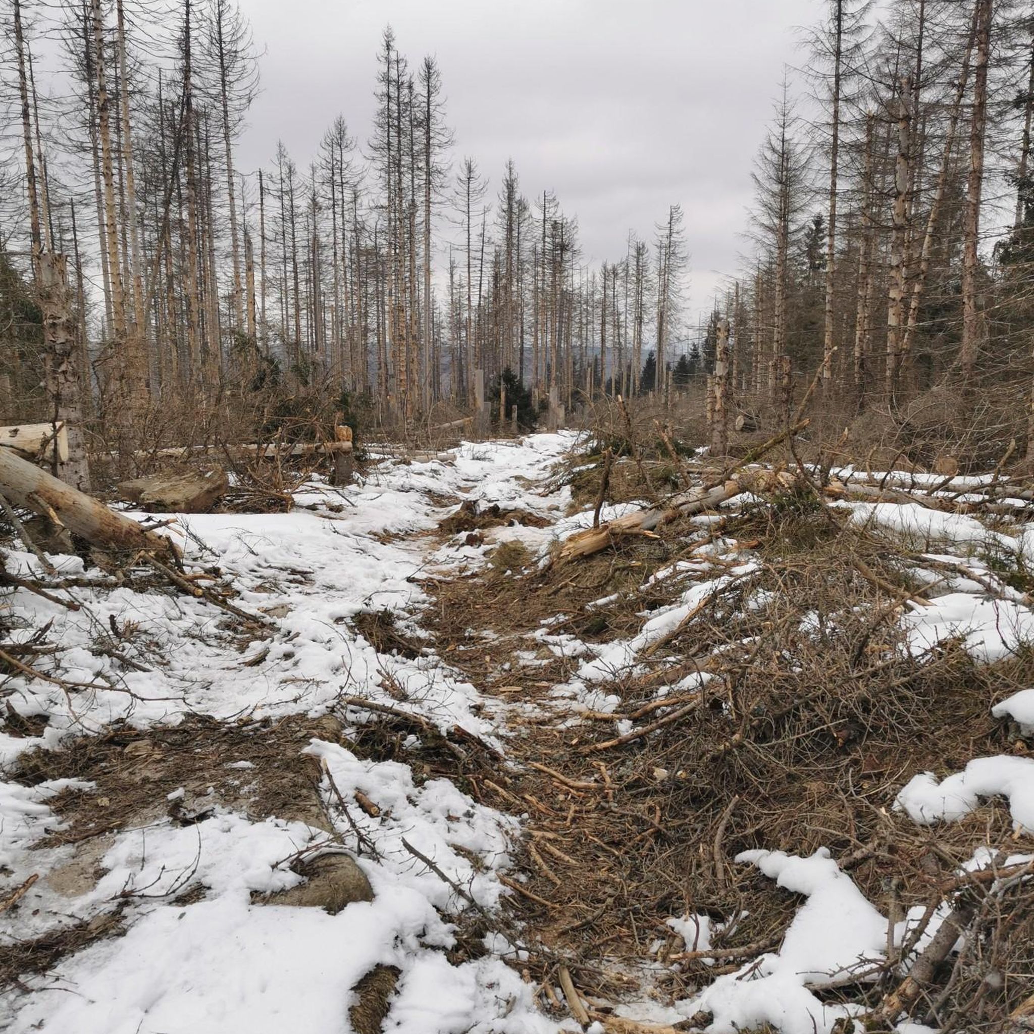
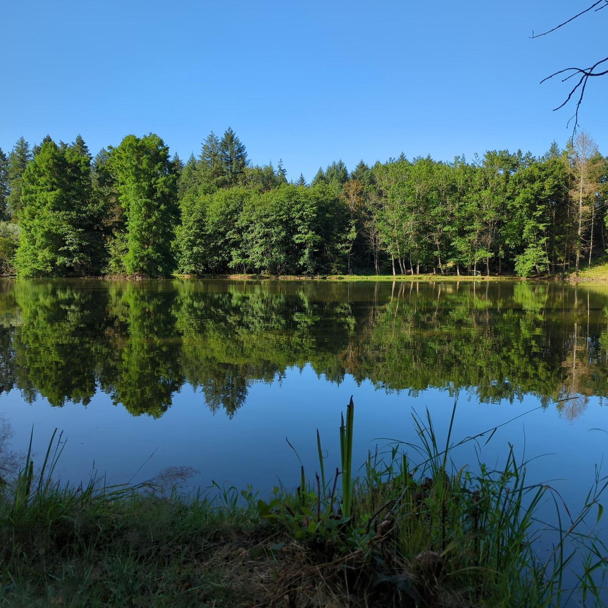
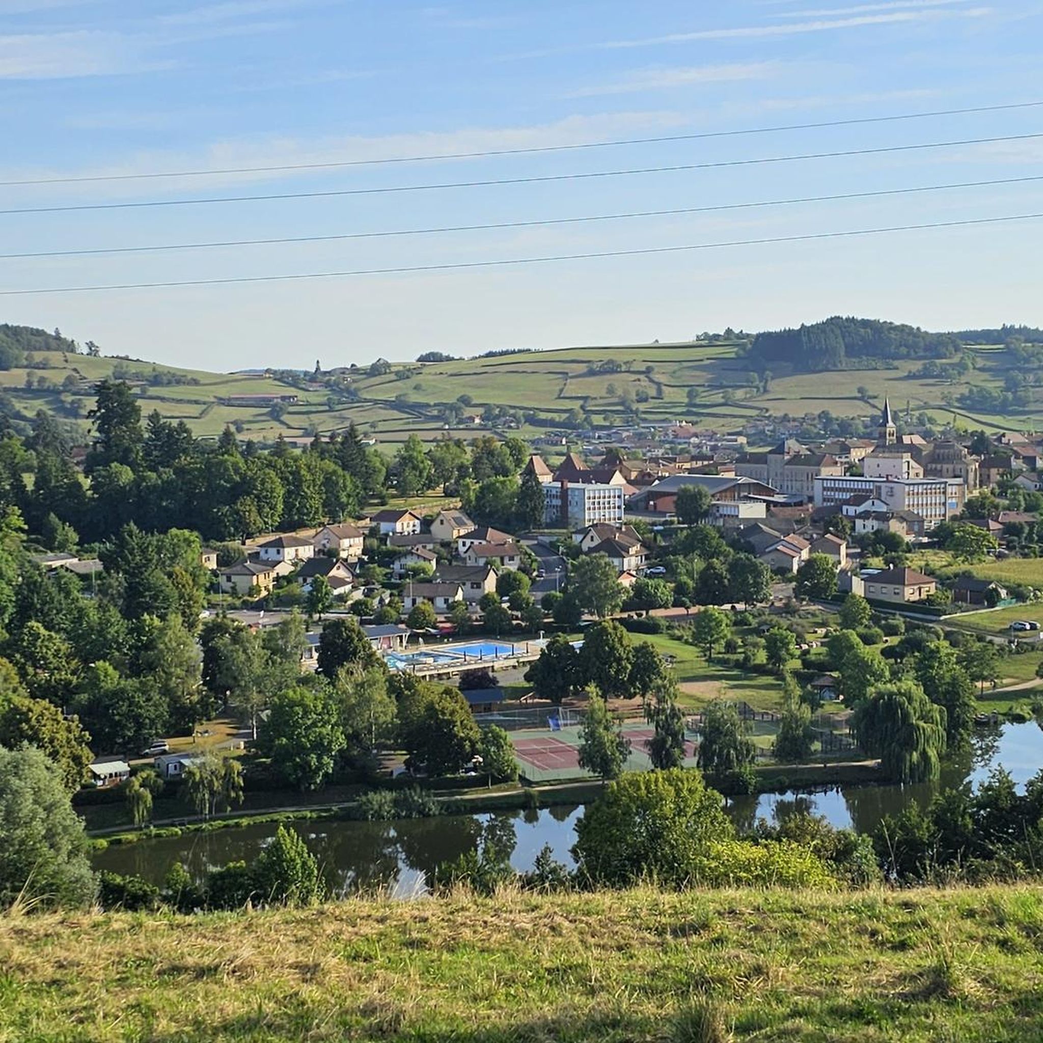

Tips from the Community

Mont Saint-Cyr 771 m, the highest point in the Mâconnais mountains with a superb view.
0
0


Impressive views over southern Burgundy and Haut-Beaujolais
0
0

A very steep climb from Montmelard, not much fun by bike. View is good, best very early or in the evening.
0
0

Mont Saint-Cyr, with its 771 m, is the highest point of the Mâconnais mountains. From its summit, you can enjoy a 360° view of the surroundings and even of the Alps when the weather allows it.
2
0
Mont Saint-Cyr, at 771 m, is the highest point of the Mâconnais mountains. From its summit, you can enjoy a 360° view of the surroundings and even of the Alps when the weather allows it.
3
0

Pretty mill at a place called "Le Palais"
0
0

Frequently Asked Questions
How many hiking trails are available around Ozolles?
There are over 120 hiking trails around Ozolles, offering a wide range of options for different abilities and preferences. You'll find routes suitable for a quick stroll or a longer day out in the countryside.
Are there easy or beginner-friendly hiking trails in Ozolles?
Yes, Ozolles offers a good selection of easy trails. Approximately 39 routes are graded as easy, perfect for beginners or those looking for a relaxed walk. An example is the Montrouant Castle loop from Gibles, which is 3.7 miles (6.0 km) long and explores the area around a historic castle.
What kind of natural landmarks or attractions can I see while hiking in Ozolles?
The region around Ozolles features several notable natural and historical landmarks. You can explore various peaks like Mount Dun, Suin Hill, and Mount St. Cyr, which offer scenic views. Additionally, there are historic castles such as the Drée Castle and the Château de La Clayette.
Are there any circular walks in the Ozolles area?
Many of the hiking routes in Ozolles are designed as circular walks, allowing you to start and end at the same point without needing to retrace your steps. For instance, the Moulin du Palais loop from Gibles is a moderate 6.5-mile (10.5 km) path that features a mill and offers views of the surrounding countryside.
What do other hikers enjoy most about hiking in Ozolles?
The hiking trails in Ozolles are highly rated by the komoot community, with an average score of 4.6 stars from over 160 reviews. Hikers often praise the region's mix of historical landmarks, gentle hills, and rural paths, which provide diverse and engaging outdoor experiences.
Are there family-friendly hiking options around Ozolles?
Yes, the moderate elevation changes and varied terrain make many trails suitable for families. Look for routes marked as 'easy' or 'moderate' that are shorter in distance. The Montrouant Castle loop from Gibles is a great option for families, combining history with an accessible walk.
Can I find trails that lead to interesting historical sites or castles?
Absolutely. The Ozolles region is rich in history, and many trails incorporate historical structures. For example, the Castle loop from Beaubery is a 4.6-mile (7.5 km) trail that leads through rural landscapes and past historical structures, offering a glimpse into the area's past.
What is the best time of year to go hiking in Ozolles?
The best time for hiking in Ozolles is typically from spring through autumn (April to October). During these months, the weather is generally mild and pleasant, and the countryside is vibrant. Autumn offers beautiful foliage, while spring brings blooming wildflowers.
Are there any challenging hikes for experienced hikers in Ozolles?
While many trails are easy to moderate, there are some more challenging options for experienced hikers. The region offers 5 difficult routes. For example, the Mount St. Cyr – Mont Saint-Cyr loop from Montmelard is a moderate 9.3-mile (15 km) route with significant elevation gain, offering a more strenuous experience and panoramic views from Mount St. Cyr.
Are dogs allowed on the hiking trails in Ozolles?
Most hiking trails in the Ozolles region are dog-friendly, especially those on public footpaths and in rural areas. However, it's always recommended to keep your dog on a leash, especially near livestock or in nature reserves, and to check specific trail regulations if available. Always carry water for your dog and clean up after them.
Where can I find parking for hiking trails in Ozolles?
Parking is generally available in or near the villages where many trails begin, such as Gibles or Beaubery. Look for designated parking areas or roadside parking that does not obstruct local traffic or private property. Many trailheads are accessible from these points.
Are there any hikes that offer views of multiple landmarks?
Yes, some routes are designed to showcase several points of interest. The Mount Saint Cyr – Montrouant Castle loop from Gibles is a moderate 9.2-mile (14.8 km) trail that combines views of Mount St. Cyr with the historic Montrouant Castle, offering a diverse experience.
Most popular attractions around Ozolles

Get inspired with the komoot mobile app


Explore more
Browse the best Hikes in other regions.
