The best running trails around Großbreitenbach
4.3
(210)
2,326
runners
136
runs
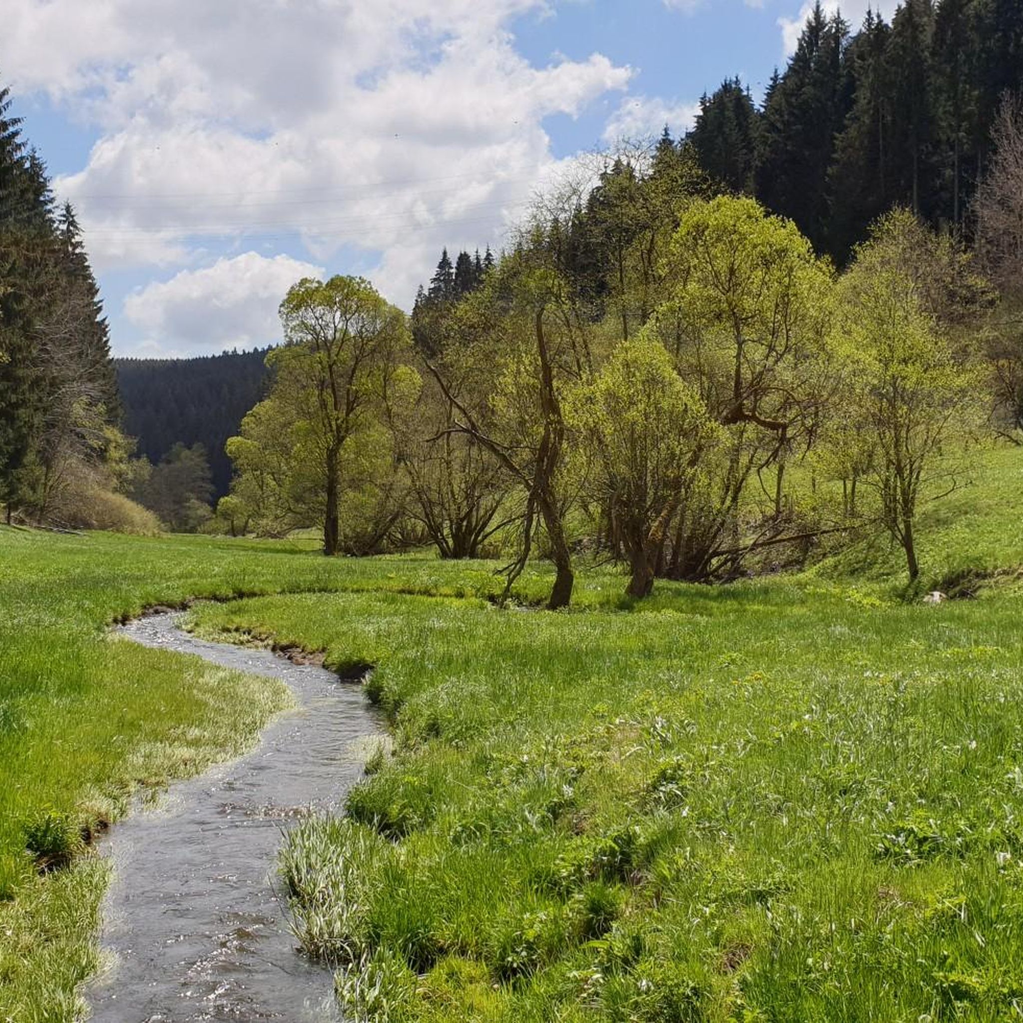
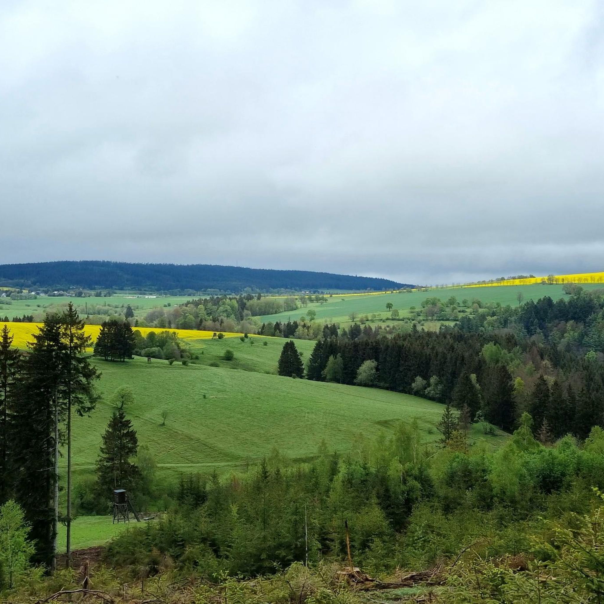
Jogging around Großbreitenbach offers access to diverse landscapes within the Thuringian Slate Mountains and a high valley setting. The region is characterized by dense forests, gentle hills, and river valleys, providing varied terrain for runners. Situated near the Thuringian Forest and the Rennsteig, this area features an extensive network of well-signposted trails. Part of a UNESCO Biosphere Reserve, it ensures a tranquil and refreshing running environment.
Best jogging routes around Großbreitenbach
- The most popular jogging route is Hirschkamm loop from…
Last updated: September 28, 2026
8
runners
7.18km
00:47
140m
140m
Moderate run. Good fitness required. Mostly paved surfaces. Suitable for all skill levels.
7
runners
9.39km
01:01
160m
160m
Moderate run. Good fitness required. Mostly paved surfaces. Suitable for all skill levels.

5.0
(1)
8
runners
4.99km
00:32
80m
80m
Easy run. Great for any fitness level. Mostly paved surfaces. Suitable for all skill levels.
1.0
(1)
5
runners
6.55km
00:45
160m
150m
Moderate run. Good fitness required. Mostly paved surfaces. Suitable for all skill levels.
4.0
(11)
5
runners
9.33km
01:00
140m
140m
Moderate run. Good fitness required. Mostly accessible paths. Some sure footedness required.
Get access to more routes and recommendations from other explorers.
Already have an account?
Our route recommendations are based on thousands of hikes, rides, and runs completed by other people on komoot.
Start today with a free account
Your next adventure awaits.

Tips from the Community

Named after Andrea Henkel, one of Germany's most successful biathletes, the "Andrea Henkel" Biathlon Center is a central training facility for the Großbreitenbach Ski Club and an important location for junior biathlon athletes in Thuringia. The facility offers modern training opportunities for young biathletes, including a roller ski track and an air rifle shooting range. The diverse altitude of the surrounding area creates ideal conditions for fitness training in both summer and winter.
0
0


Which sick brain makes a highlight on Komoot out of a bait?
0
1

Recommendable, beautiful inn in the valley of the Weißen Schwarza with nice service and fresh fish, open Fri-Sun 11 am-8pm
3
0

According to German law, the hunter calls a feeding place a place for spreading grain, such as B. maize, or other non-meat substances (also from eggs and cheese), which are sought by game as food. It is "bait feeding". The process itself is called "jarring" or "jarring". The animals to be circled are predominantly omnivores (e.g. wild boar) [1] and herbivores. Wild boar is most often chirred (preferably with maize), but also game birds (e.g. pheasant, partridge) and some small game. In some cases, lick stones are also counted as part of the feeding places. The purpose of feeding is to lure the game to a certain place and to keep it occupied there long enough to be able to hunt and / or observe it. The attracting of predatory game, which mainly feeds on meat, is done with offal and meat from exclusively game. In this case, the hunter speaks of Luder, Luderplatz and of "lousy". In the respective (state) hunting laws it is stipulated that the number of feeding places per unit of area is limited and may not take on the character of feeding (amount and extent of feeding place). In addition, it is often stipulated that the food to be found can only be accessed by a certain species of game (e.g. wild boar). This is to be ensured by structural measures of the feeding place. Feeding areas are laid out in accordance with the species of game to be circled: laid out openly, buried or secured by containers that dispense crockery when moving (e.g. "sow circle"). In order to avoid increased peeling damage, night-time use should not be used in and around dumping areas. [2] Feeding places are often provided with game clocks or photo traps to give the hunter an overview of the "operation" at the feeding place. Source: Wikipedia
0
1

Training facility for the young biathletes in Großbreitenbach.
2
0

Nice place in Thuringia 🍀👍🍀👍
1
0

From Katzhütte via Amselheim uphill. Nice cuddly rise.
2
0
Frequently Asked Questions
How many running routes are available around Großbreitenbach?
Großbreitenbach offers a vast network for runners, with over 140 dedicated running routes. These trails cater to various fitness levels, ranging from easy strolls to challenging long-distance runs through the Thuringian Slate Mountains.
What kind of terrain can I expect on the running trails in Großbreitenbach?
The running trails in Großbreitenbach traverse diverse landscapes, including dense forests, gentle hills, and picturesque river valleys like the Schwarzatal. You'll find a mix of well-signposted paths, offering both challenging inclines and more relaxed stretches, all within the beautiful UNESCO Biosphere Reserve Thuringian Forest.
Are there easy running routes suitable for beginners in Großbreitenbach?
Yes, Großbreitenbach has a good selection of easy running routes perfect for beginners or those looking for a more relaxed pace. For example, the Viehberg loop from Meuselbach-Schwarzmühle is an easy 3.1-mile (5 km) path that takes just over 30 minutes to complete.
Can I find longer distance running trails for endurance training in Großbreitenbach?
Absolutely. The region is ideal for longer runs, with its extensive network of trails. A challenging option is the Haideteich Gehren – Kulturfabrik Mosaic Bench loop from Möhrenbach, which spans 12.9 miles (20.8 km) and offers a demanding run through varied forest landscapes.
Are there family-friendly running paths in Großbreitenbach?
Many of the easier and moderate trails around Großbreitenbach are suitable for families, offering pleasant experiences through nature. The region's well-maintained paths and tranquil environment make it enjoyable for all ages. Look for routes with lower elevation gain and shorter distances for a comfortable family outing.
Can I bring my dog on the running routes around Großbreitenbach?
Generally, dogs are welcome on the running trails in Großbreitenbach, especially given the region's outdoor-friendly atmosphere and extensive natural areas. It's always recommended to keep dogs on a leash, especially in nature reserves or near wildlife, and to respect local regulations.
What are some scenic viewpoints I can reach while running in Großbreitenbach?
For runners who enjoy a rewarding view, the region offers several magnificent panoramic vistas. Consider routes that pass by the Rennsteigwarte on Eselsberg or the Meuselbacher Kuppe Observation Tower. These can serve as excellent goals for a challenging uphill run, offering stunning views of the Thuringian landscape.
Are there any circular running routes available in Großbreitenbach?
Yes, many of the running routes in Großbreitenbach are circular, allowing you to start and finish at the same point. A popular moderate option is the Hirschkamm loop from Böhlen, which is 4.5 miles (7.2 km) long and provides scenic views and a mix of forest paths.
What do other runners enjoy most about jogging in Großbreitenbach?
The running experience in Großbreitenbach is highly rated by the komoot community, with an average score of 4.4 stars from over 180 reviews. Runners often praise the quiet woodlands, the well-marked paths, and the refreshing natural environment of the Thuringian Forest and its proximity to the Rennsteig.
Are there any waterfalls or gorges to see along the running trails?
Yes, the region around Großbreitenbach features several beautiful natural attractions. You might encounter waterfalls like the Helms Waterfall or the Dachsbach Waterfall. The area also boasts scenic gorges such as the Fehrenbacher Grund and the Finsteres Loch Gorge, adding a picturesque element to your run.
What is the best season for running in Großbreitenbach?
Großbreitenbach offers excellent running conditions throughout much of the year. Spring and autumn provide pleasant temperatures and vibrant scenery, while summer allows for longer daylight hours. Even in winter, many trails are suitable for running, especially with appropriate gear, offering a serene experience in a snow-covered landscape.
How accessible are the running routes in Großbreitenbach by public transport?
Großbreitenbach, situated within a region known for its well-developed infrastructure for outdoor recreation, generally offers good accessibility. While specific public transport connections to every trailhead might vary, the town itself and surrounding villages are typically served, allowing access to the extensive trail network.
Most popular routes around Großbreitenbach
Most popular attractions around Großbreitenbach

Get inspired with the komoot mobile app


Explore more
Browse the best Running Trails & Routes in other regions.
