The best MTB trails around Allerheiligen im Mühlkreis
4.6
(1373)
6,605
riders
352
rides
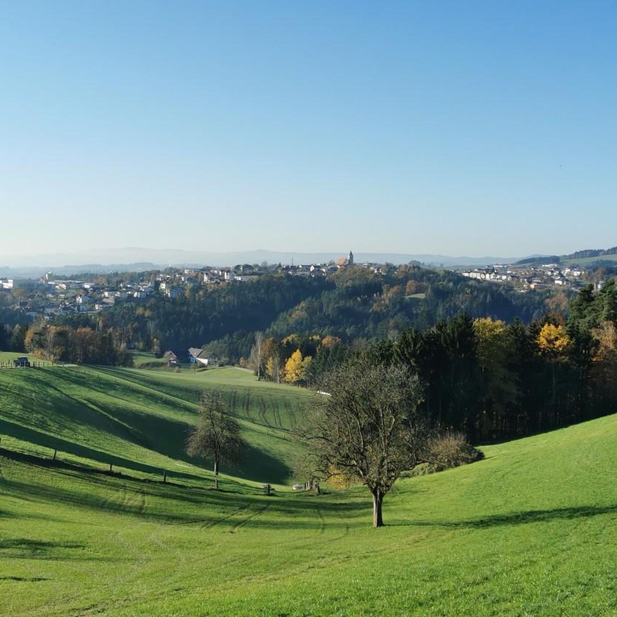
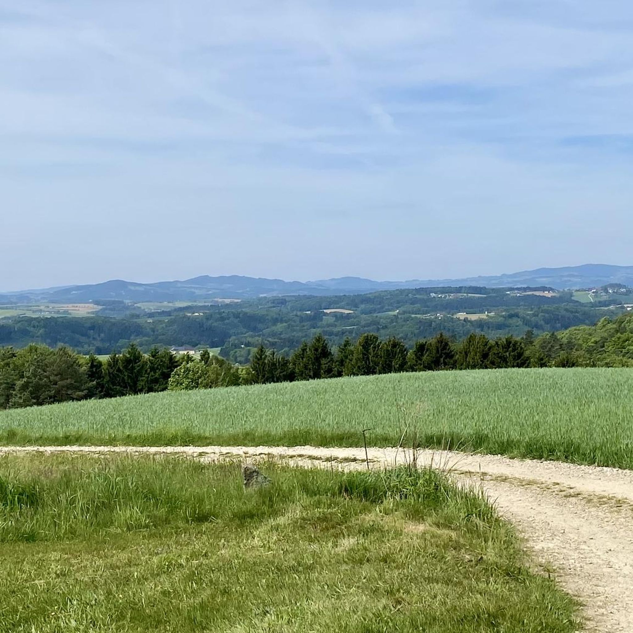
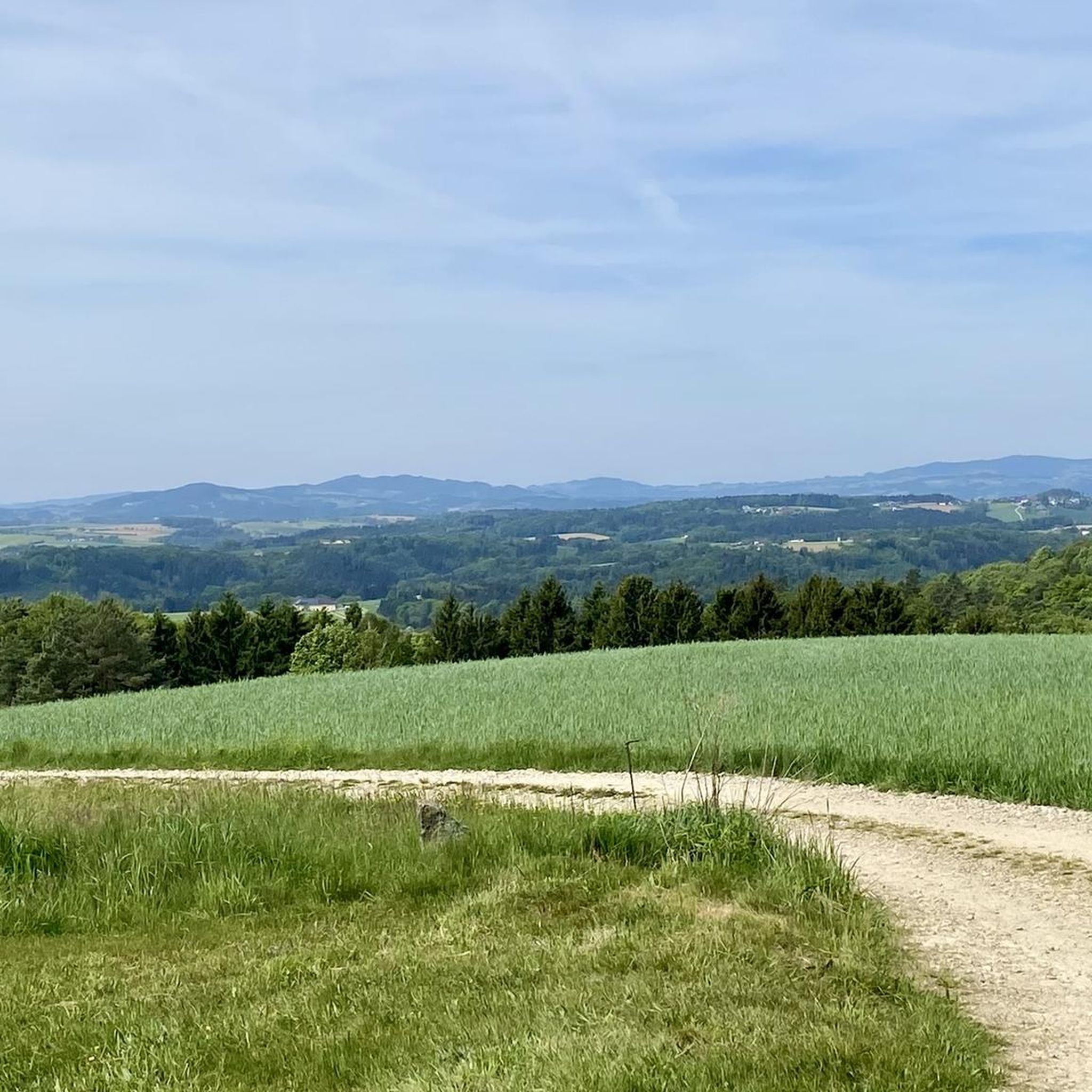
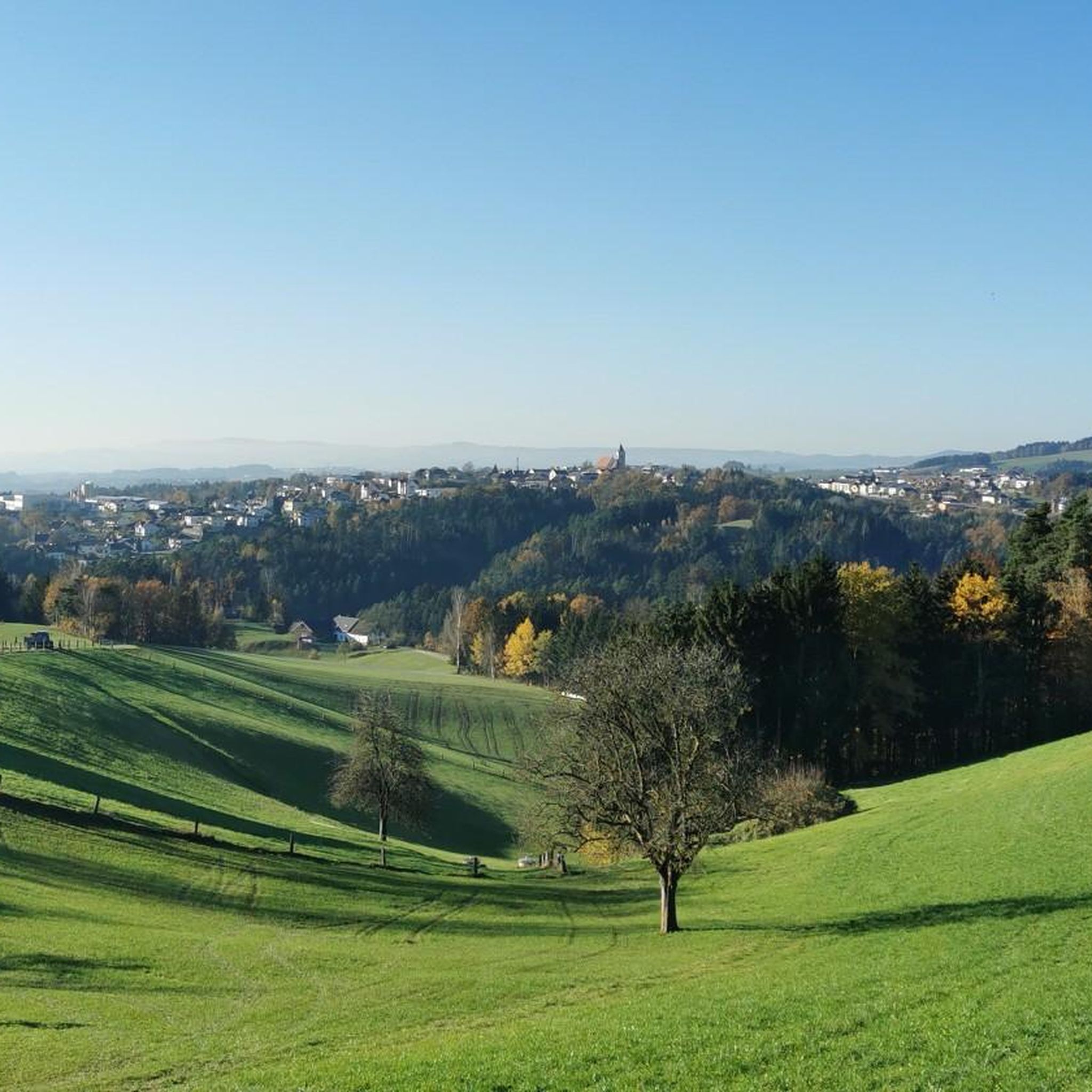
Mountain biking around Allerheiligen im Mühlkreis features diverse terrain within a natural parkland setting. The landscape includes picturesque valleys like the Kettenbachtal and Naarntal, along with rivers and hills that create varied elevation changes. These physical features support mountain bike trails that navigate both open areas and secluded natural sections. The region's geography provides a range of elevation changes suitable for mountain bike trails.
Best mountain bike trails around Allerheiligen im Mühlkreis
- The most popular mountain bike trail is Ruttenstein…
Last updated: July 19, 2026
4.7
(24)
173
riders
Hard mountain bike ride. Very good fitness required. Suitable for all skill levels.
5.0
(4)
9
riders
29.8km
02:47
710m
710m
Moderate mountain bike ride. Good fitness required. Advanced riding skills necessary.

Sign up for free
4.3
(4)
12
riders
Easy mountain bike ride. Great for any fitness level. Suitable for all skill levels.
4.5
(2)
14
riders
17.7km
01:40
460m
460m
Moderate mountain bike ride. Good fitness required. Suitable for all skill levels.
3.0
(2)
8
riders
31.9km
02:45
710m
710m
Moderate mountain bike ride. Good fitness required. Advanced riding skills necessary.
Get access to more routes and recommendations from other explorers.
Sign up for free
Already have an account?
Our route recommendations are based on thousands of hikes, rides, and runs completed by other people on komoot.
Start today with a free account
Your next adventure awaits.
Login or Signup

Tips from the Community

One of the most beautiful places here on the Feldaist, which is also easily accessible from both sides
0
0

Beautiful place with some guesthouses, campsite, swimming lake, recommended for a short break with many highlights in the surrounding area
0
0

Wonderful circular hike away from the hustle and bustle in the hilly Mühlviertel landscape. The legend of the devil (information board at the summit cross) is really brilliant, a clever farmer😜
2
1

Such rock formations are more commonly found further north in the Mühlviertel region. A great destination for a day trip that is easy to reach or can be explored via a beautiful circular hiking trail: https://www.komoot.com/de-de/tour/2058392409
2
2

The Prandegg castle ruins are around 140 metres long and are one of the largest castles in the country. They began to decay around 1750 and have been owned by the Dukes of Saxe-Coburg and Gotha since 1823. You can visit them and walk around the castle on the castle trail.
2
0
Cool trail, but only recommended for experienced MT bikers
0
0
Cozy garden with traditional home cooking
0
0
In summer the vegetation can be quite lush, but the idyllic places in this section are definitely worth a visit 😊
0
0
Frequently Asked Questions
How many mountain bike trails are there in Allerheiligen im Mühlkreis?
There are over 350 mountain bike trails available in Allerheiligen im Mühlkreis, offering a wide range of options for different skill levels and preferences.
What is the best time of year for mountain biking in Allerheiligen im Mühlkreis?
Spring and autumn are generally considered the best seasons for mountain biking in Allerheiligen im Mühlkreis. The weather is typically pleasant, and the natural landscapes are particularly beautiful during these times.
Are there mountain bike trails suitable for beginners or families in Allerheiligen im Mühlkreis?
Yes, Allerheiligen im Mühlkreis offers trails for various skill levels. There are 45 easy routes, making it possible to find suitable options for beginners or families looking for a less challenging ride. An example of an easy route is the Parish Church of Tragwein – Gasthaus Ratzenböck Beer Garden loop from Tragwein.
What kind of terrain can I expect on mountain bike trails in Allerheiligen im Mühlkreis?
The region is characterized by varied terrain, including natural parkland, picturesque valleys like the Kettenbachtal and Naarntal, rivers, and hills. You can expect a mix of open scenery and more secluded natural sections, with diverse elevation changes suitable for mountain biking.
What natural features or landmarks can I see along the mountain bike trails?
Many trails pass through scenic areas like the Kettenbachtal Valley and the wild and romantic Naarntal. You can also encounter historical sites such as the Prandegg Castle Ruins, or natural monuments like the Weltstein. Some routes also offer panoramic views, for instance, from viewpoints like View from Altaistberg.
Are there any challenging mountain bike routes for experienced riders?
Absolutely. Allerheiligen im Mühlkreis features 36 difficult mountain bike routes for experienced riders seeking a challenge. A notable difficult trail is the Ruttenstein Shelter – Rechberg Bathing Lake loop from Allerheiligen im Mühlkreis, which covers 39.5 miles (63.6 km) with significant elevation gain.
Are there circular mountain bike routes available?
Yes, many mountain bike routes in Allerheiligen im Mühlkreis are designed as loops. Examples include the Weltstein – Kettenbachtal Valley loop from Tragwein and the Parish Church of Tragwein – Haarlandberg Viewpoint loop from Tragwein, allowing you to start and end at the same point.
What do other mountain bikers say about the trails in Allerheiligen im Mühlkreis?
The mountain bike routes in Allerheiligen im Mühlkreis are highly rated by the komoot community, with an average score of 4.6 stars from over 1,200 reviews. More than 6,400 mountain bikers have explored the varied terrain, often praising the diverse landscapes and well-maintained paths.
Are mountain bike permits required in Allerheiligen im Mühlkreis?
Generally, mountain bike permits are not required for public trails in Allerheiligen im Mühlkreis. However, it's always advisable to respect local signage and private property regulations.
Are there any specific viewpoints accessible by mountain bike?
Yes, the region offers fantastic panoramic views. Routes often incorporate viewpoints such as the View from Altaistberg or the Baumberg area, providing scenic breaks during your ride.
Can I find places to eat or drink near the mountain bike trails?
While specific cafes or pubs directly on every trail are not listed, some routes, like the Parish Church of Tragwein – Gasthaus Ratzenböck Beer Garden loop from Tragwein, indicate proximity to establishments. The villages in the region offer various options for refreshments.
What is the elevation gain like on the mountain bike trails?
The trails in Allerheiligen im Mühlkreis feature varied elevation profiles. For example, the Reichenstein Castle – Kumpfmühle Watermill loop from Tragwein has an elevation gain of over 700 meters, while easier routes will have less significant ascents.
Most popular routes around Allerheiligen im Mühlkreis
Most popular attractions around Allerheiligen im Mühlkreis

Get inspired with the komoot mobile app


Explore more
Browse the best MTB trails in other regions.
