The best cycling routes around Gourdièges
4.9
(10)
150
riders
42
rides
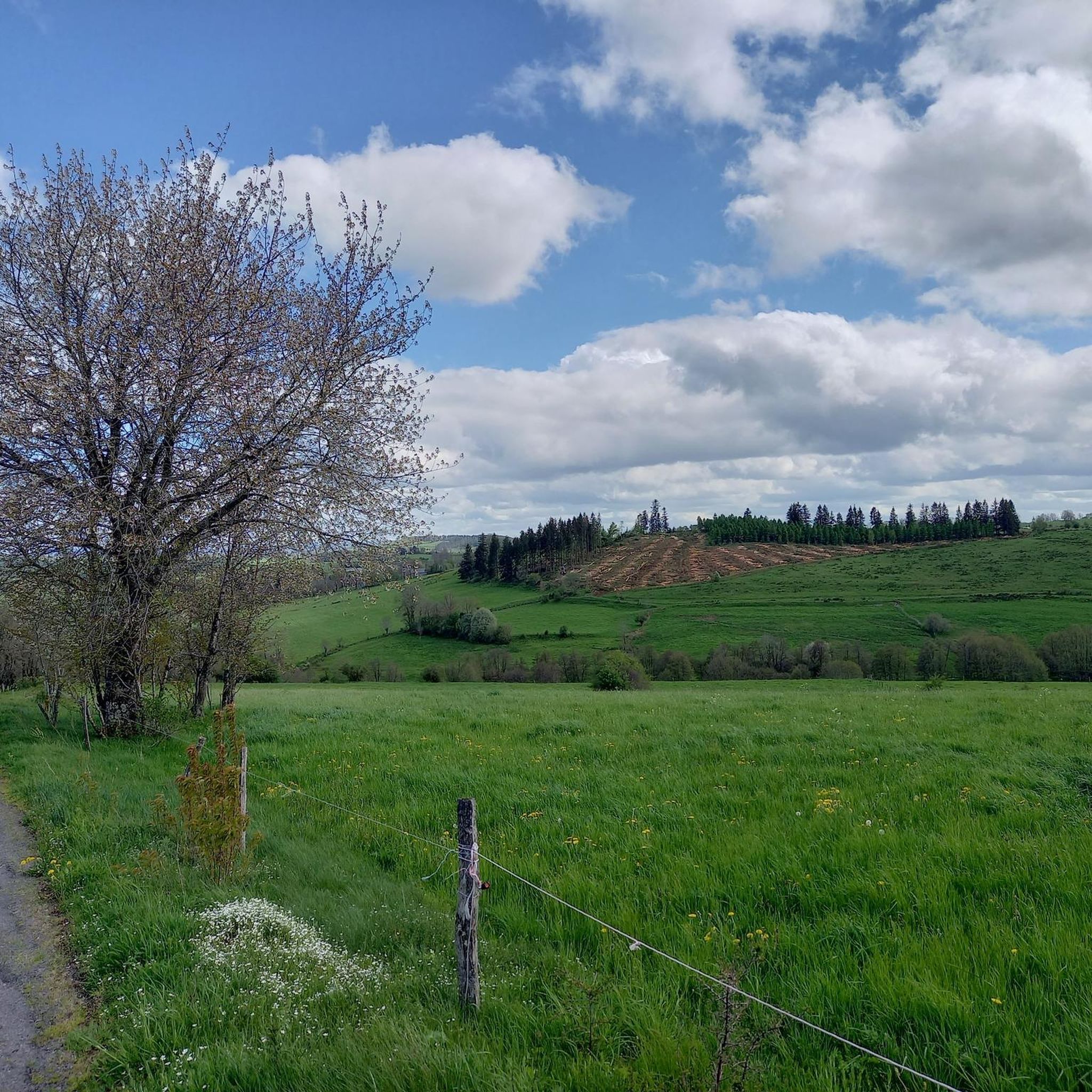
Touring cycling around Gourdièges offers routes through the volcanic and mountainous terrain of the Cantal region, situated within the Regional Natural Park of the Auvergne Volcanoes. The area features ancient volcanic landscapes, including rolling hills, high plateaus, and extensive forests, with elevations ranging from 987m to 1157m within the commune. Cyclists can expect routes that traverse challenging mountain passes like the Col de Pas de Peyrol, providing panoramic views of the Cantalien volcano. This diverse topography provides a range of…
Last updated: July 28, 2026
5.0
(1)
20
riders
69.8km
04:59
1,360m
1,360m
Hard bike ride. Very good fitness required. Mostly paved surfaces. Suitable for all skill levels.
17
riders
33.2km
02:56
600m
600m
Hard bike ride. Very good fitness required. Mostly paved surfaces. Suitable for all skill levels.

Sign up for free
1.0
(1)
15
riders
127km
10:04
3,490m
3,490m
Hard bike ride. Very good fitness required. Mostly paved surfaces. Suitable for all skill levels.
8
riders
28.7km
02:26
430m
430m
Moderate bike ride. Good fitness required. Mostly paved surfaces. Suitable for all skill levels.
5
riders
34.4km
02:56
680m
680m
Hard bike ride. Very good fitness required. Mostly paved surfaces. Suitable for all skill levels.
Get access to more routes and recommendations from other explorers.
Sign up for free
Already have an account?
Our route recommendations are based on thousands of hikes, rides, and runs completed by other people on komoot.
Start today with a free account
Your next adventure awaits.
Login or Signup

Tips from the Community

A beautiful, partly shady climb from Claux to the pass. Then the real challenge begins at Puy Mary.
0
0

The route takes you through incredibly beautiful scenery as you head up the valley.
1
0

This pass is rather easy if we compare it with what awaits us, the Puy Mary
1
0

At an altitude of 1,588 meters, the Pas de Peyrol is located between the Puy Mary and the Puy de la Tourte. It is known to be the highest road pass in the Massif Central and is worth it, because the last few kilometers have high percentages. There you can admire Puy Mary which peaks at an altitude of 1,783 metres. It is one of the peaks of the Cantal mountains. It is easily recognizable with its pyramidal silhouette.
1
0

Very regular climb without great difficulty start of several gravel trails
0
0

Superb climb from Saint-Julien de Jordanne.
0
0

A nice pass with a nice pub at the top.
0
0

The most beautiful landscapes of Cantal
0
0
Frequently Asked Questions
How many touring cycling routes are available around Gourdièges?
There are over 35 touring cycling routes around Gourdièges, offering a wide variety of experiences through the volcanic landscapes of the Cantal region.
What types of terrain can I expect on touring cycling routes in Gourdièges?
The terrain around Gourdièges is characterized by its volcanic and mountainous nature, situated within the Regional Natural Park of the Auvergne Volcanoes. You can expect routes that traverse ancient volcanic landscapes, rolling hills, high plateaus, and extensive forests. Elevations within the commune itself range from 987m to 1157m, providing diverse cycling environments from demanding climbs to scenic, winding roads.
Are there challenging touring cycling routes for experienced cyclists?
Yes, Gourdièges offers numerous challenging routes. For experienced cyclists seeking significant elevation gain and panoramic views, consider the View of the Plomb du Cantal – Col de Prat de Bouc loop from Saint-Martin-sous-Vigouroux, a difficult 69.8 km trail.
Can I find moderate touring cycling routes in the area?
Absolutely. There are 11 moderate touring cycling routes available. A popular choice is the Paulhac – Petit single de la Chaumette loop from Paulhac, a 28.7 km trail leading through varied terrain and forests.
Are there easier touring cycling options for beginners or less experienced riders?
Yes, Gourdièges also caters to beginners with 4 easy touring cycling routes. These routes offer a more relaxed pace to discover the picturesque country lanes and natural beauty without overly strenuous climbs.
What natural features or landmarks can I see while cycling around Gourdièges?
While cycling, you can encounter several notable natural features and landmarks. The region is at the foot of the majestic Puy Mary and near the legendary Col de Pas de Peyrol, offering demanding ascents and rewarding panoramic views of the Cantalien volcano. You might also pass by the Banks of the Truyère, the Grifoul Pass, or enjoy a View of Plomb du Cantal. The 15th-century Gothic Church of Saint-Men in Gourdièges is also a local historical attraction.
Are there any routes that feature waterfalls?
Yes, one notable route that includes a waterfall is the Muratel waterfalls – View of Plomb du Cantal loop from Paulhac. This difficult 33.2 km path winds through volcanic landscapes and offers views towards the Plomb du Cantal, incorporating the Muratel waterfalls into its scenic journey.
What do other touring cyclists enjoy most about cycling in Gourdièges?
The komoot community highly rates the touring cycling experience in Gourdièges, with an average score of 4.8 stars from over 7 reviews. Cyclists often praise the varied terrain, from volcanic massifs and high plateaus to verdant forests, and the opportunities for both challenging climbs and scenic, winding roads.
Are there any circular touring cycling routes around Gourdièges?
Many of the routes around Gourdièges are designed as loops, allowing you to start and end in the same location. For example, the Puy Reynel loop from Pierrefort is a 34.4 km difficult route that offers a circular journey through the landscape.
What is the best time of year for touring cycling in Gourdièges?
The Cantal region, where Gourdièges is located, is best enjoyed for touring cycling during the warmer months, typically from late spring to early autumn. This period offers more favorable weather conditions for tackling the mountainous terrain and enjoying the scenic views. Always check local weather forecasts before heading out.
Is Gourdièges suitable for a multi-day touring cycling trip?
Gourdièges serves as an excellent base for multi-day touring cycling trips. Its location within the Auvergne Volcanoes Regional Natural Park provides access to a vast network of routes, allowing cyclists to explore different sections of the Monts du Cantal, including iconic passes and picturesque villages, over several days.
Are there opportunities to combine cycling with other outdoor activities?
Yes, beyond cycling, the surrounding areas of Gourdièges offer opportunities for other outdoor activities. You can find options for fishing, pétanque, and swimming in rivers, providing ways to relax and enjoy nature off the bike, especially during a multi-day trip.
Most popular attractions around Gourdièges

Get inspired with the komoot mobile app


Explore more
Browse the best Cycling routes in other regions.
