The best running trails around Ellingstedt
4.4
(158)
3,240
runners
273
runs
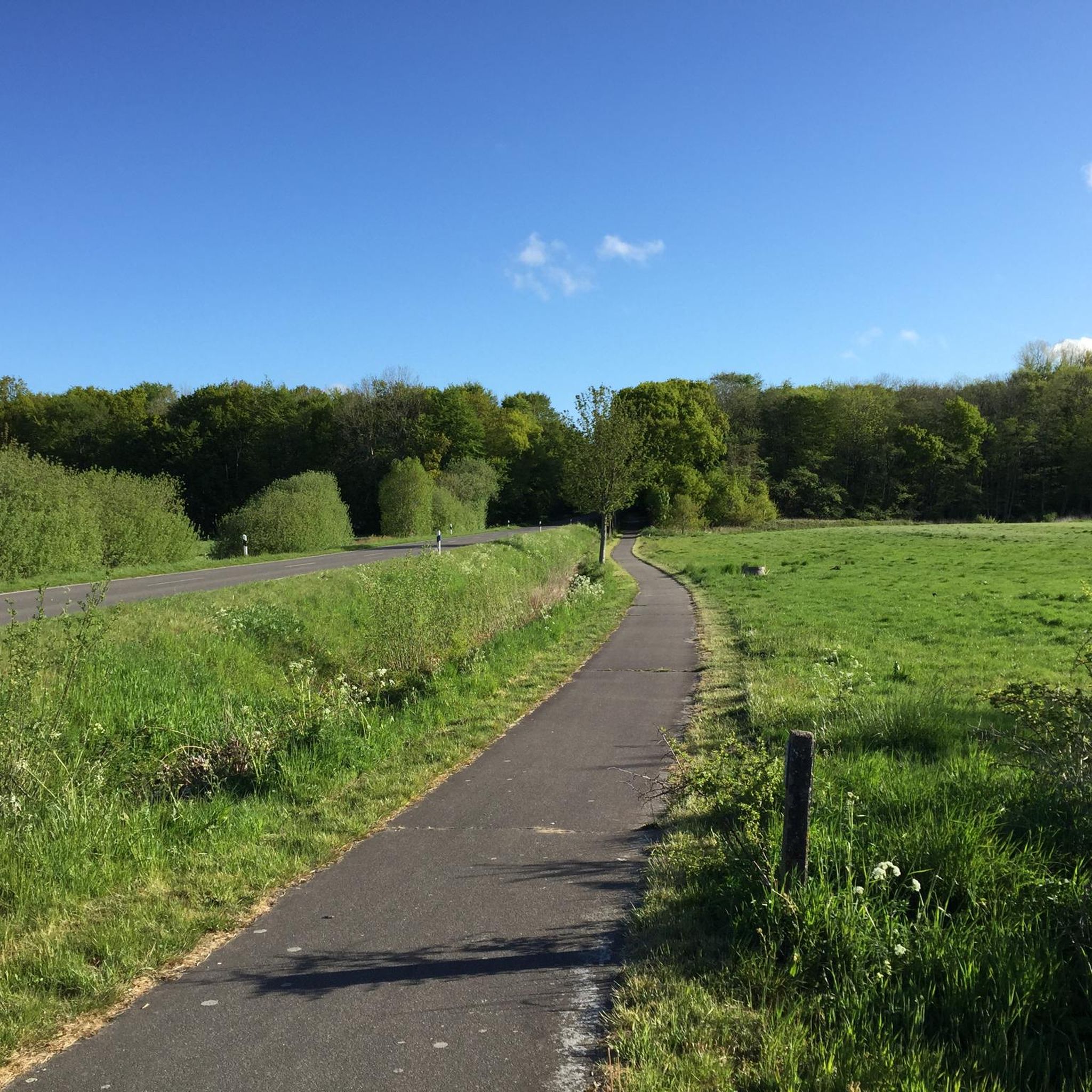
Jogging around Ellingstedt offers diverse terrain, characterized by sandy, undulating Geest land and forests. The region features the distinctive "Knicklandschaft" with natural hedges, and the calm Treene River meanders through green meadows. Historic elements like the ancient Danewerk, a UNESCO World Heritage site, also provide unique running experiences.
Best jogging routes around Ellingstedt
- The most popular jogging route is Danevirke (Danish Wall) – Kograben loop from Danewerk, a 5.2 miles (8.4 km) trail that takes 52 minutes to complete.…
Last updated: July 23, 2026
3.2
(5)
17
runners
5.55km
00:37
20m
20m
Moderate run. Good fitness required. Mostly paved surfaces. Suitable for all skill levels.
12
runners
8.39km
00:52
10m
10m
Moderate run. Good fitness required. Mostly paved surfaces. Suitable for all skill levels.

Sign up for free
8
runners
7.75km
00:48
20m
20m
Moderate run. Good fitness required. Mostly paved surfaces. Suitable for all skill levels.
4
runners
4.70km
00:31
0m
0m
Easy run. Great for any fitness level. Mostly paved surfaces. Suitable for all skill levels.
4
runners
3.87km
00:24
10m
10m
Easy run. Great for any fitness level. Mostly paved surfaces. Suitable for all skill levels.
Get access to more routes and recommendations from other explorers.
Sign up for free
Already have an account?
Our route recommendations are based on thousands of hikes, rides, and runs completed by other people on komoot.
Start today with a free account
Your next adventure awaits.
Login or Signup



Tips from the Community

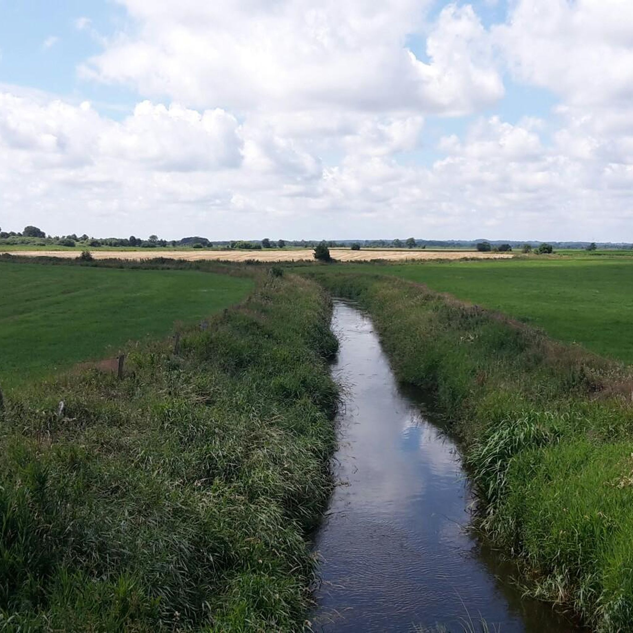
The Kograben (Danish: Kovirke) is a southern section of the Danevirke. Originally, it was an approximately 6.5-kilometer-long rampart with a ditch in front. Its eastern end was at the southern tip of the Selker Noor, about 4 kilometers south of the present-day city of Schleswig and about 1.5 kilometers south of the former settlement of Haithabu. From here, the Kograben ran in a straight westerly and slightly southerly direction to the Rheider Au river valley near Kurburg.
0
0

It's interesting to read about it. I would have noticed if there wasn't a sign, but nothing.
0
0

Breakthrough through the Dane Wall
0
0

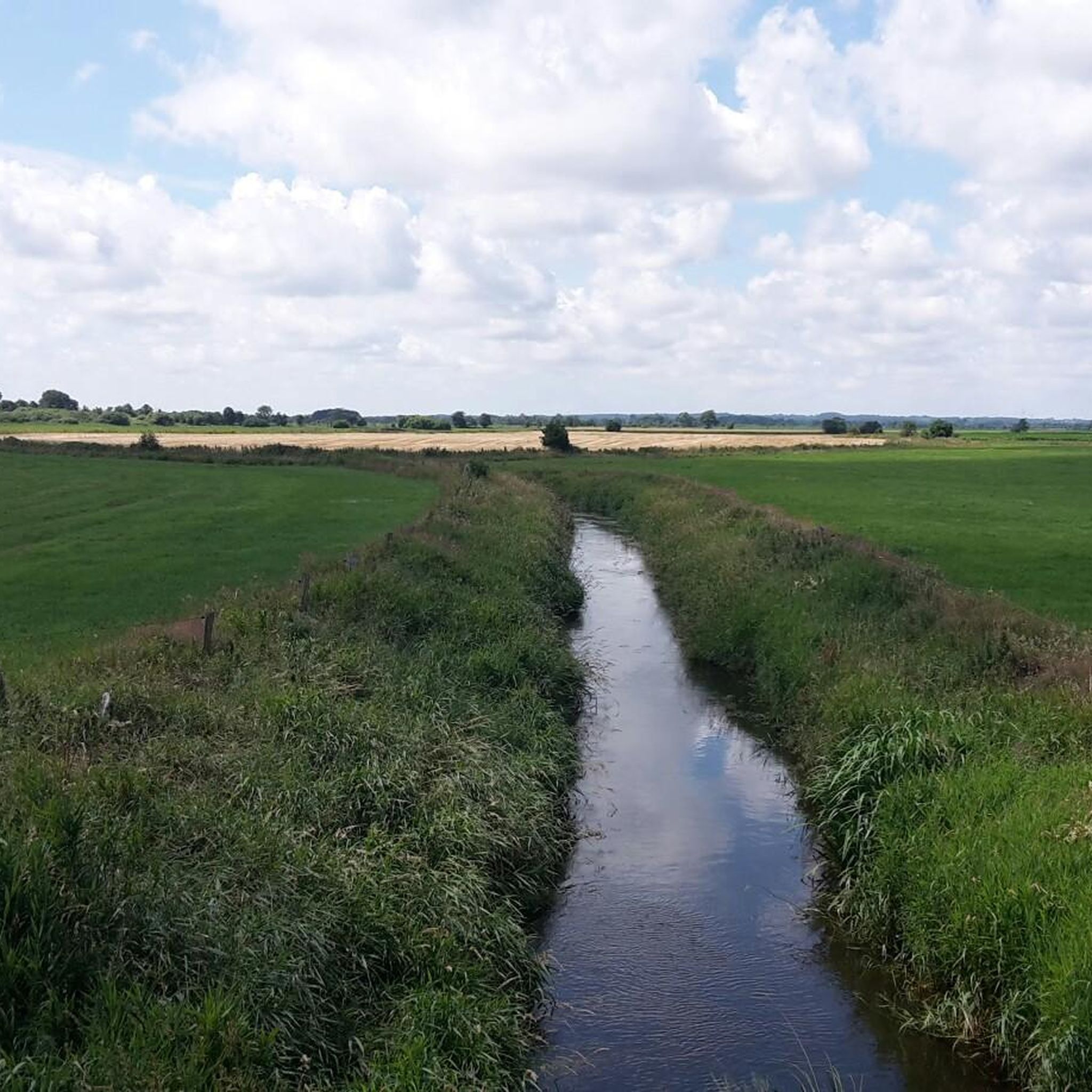
The „Kograben“ is part of the Danewerk rampart system. It consists of an earth rampart and a ditch. It runs perfectly straight between the Selker Noor near the Viking Age trading town of Haithabu and the river meadow of the Rheider Au. The builders of the Danewerk cleverly incorporated natural obstacles such as rivers, swamps, or lakes. The Kograben was built only at the end of the 10th century south of the existing sections of the Danewerk.
2
0
Frequently Asked Questions
How many running routes are available in Ellingstedt?
Ellingstedt offers a wide variety of running experiences, with over 250 routes available for you to explore. These range from easy strolls to more challenging runs, ensuring there's something for every fitness level.
What kind of terrain can I expect when running in Ellingstedt?
The region around Ellingstedt is characterized by its unique "Geest" terrain, featuring sandy, undulating land and beautiful forests. You'll also encounter the distinctive "Knicklandschaft" with natural hedges, and serene paths along the meandering Treene River. This diverse landscape provides varied running surfaces and scenic views.
Are there running routes suitable for beginners or those looking for an easy run?
Yes, Ellingstedt has plenty of options for beginners or those seeking a relaxed pace. There are 39 easy routes available. An example is the Running loop from Groß Rheide, which is an easy 4.7 km (2.9 miles) path.
What do other runners say about the trails in Ellingstedt?
The running trails in Ellingstedt are highly regarded by the komoot community, boasting an average rating of 4.5 stars from over 120 reviews. More than 3000 runners have explored the varied terrain, often praising the natural beauty, well-maintained paths, and the unique blend of history and nature.
Are there any historical sites or landmarks along the running routes?
Absolutely! A significant highlight for runners is the ancient Danewerk (Danevirke), a UNESCO World Heritage site. This historical fortification, including sections like the Margaretenwall, provides a unique journey through history. You can also find the Haithabu Viking Houses nearby, offering a glimpse into the region's past.
Can I find circular running routes in Ellingstedt?
Yes, many of the running routes in Ellingstedt are circular, offering convenient loops that bring you back to your starting point. For example, the Running loop from Arensharde is an easy 3.9 km (2.4 miles) circular path perfect for a quick run.
Are there running routes near water bodies like rivers or lakes?
Yes, the calm Treene River meanders through green meadows and dense forests, providing a serene backdrop for many jogs. Additionally, the nearby Bistensee offers sparkling waters and magnificent views, inviting a refreshing break or a scenic loop for runners.
When is the best time of year to go running in Ellingstedt?
Ellingstedt offers beautiful scenery year-round. Spring is particularly recommended as nature comes alive with fresh greenery. Summer and autumn also provide stunning backdrops with colorful forests and clear lakes, making them excellent times for a run.
What kind of nature and wildlife can I expect to see while running?
Ellingstedt's natural areas, including the Treenetal nature reserve, are rich in flora and fauna. You can expect to see diverse plant life, especially in spring, and potentially spot various bird species along the bird-watching trails. The forests and meadows offer a chance to connect with unspoiled nature.
Are there options for more advanced runners or longer distances?
Certainly! For those seeking a greater challenge, Ellingstedt offers 26 difficult routes. While specific long routes are numerous, you can find trails that lead through the historic Danewerk ramparts, some extending up to 15.2 km (9.4 miles), providing a substantial run.
Are the running routes in Ellingstedt easily accessible?
Many trails in Ellingstedt are described as easily accessible and suitable for all fitness levels. While specific parking information varies by trailhead, the village itself is well-connected, and routes often start from convenient locations.
Are there any natural monuments or unique sights to explore near the running paths?
Beyond the running paths, you can discover several natural monuments and unique sights. These include the Ancient hornbeam with exposed roots near Haithabu Museum and the Baroque Garden of Gottorf Castle. The Freedom Cape on the Schlei also offers beautiful lake views.
Most popular routes around Ellingstedt
Most popular attractions around Ellingstedt

Get inspired with the komoot mobile app


Explore more
Browse the best Running Trails & Routes in other regions.
