The best road cycling routes around Chastel-Sur-Murat
4.7
(56)
2,068
riders
154
rides
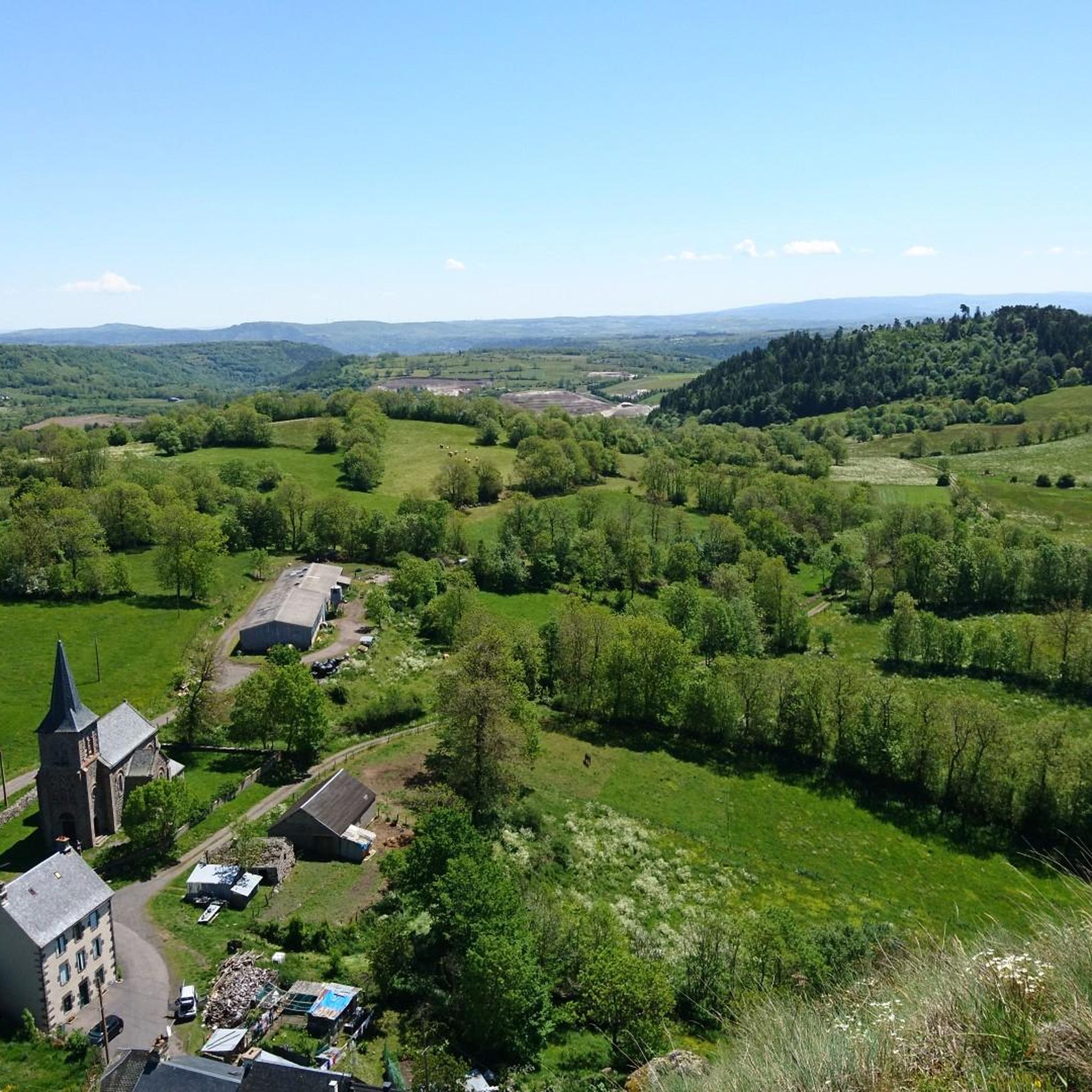
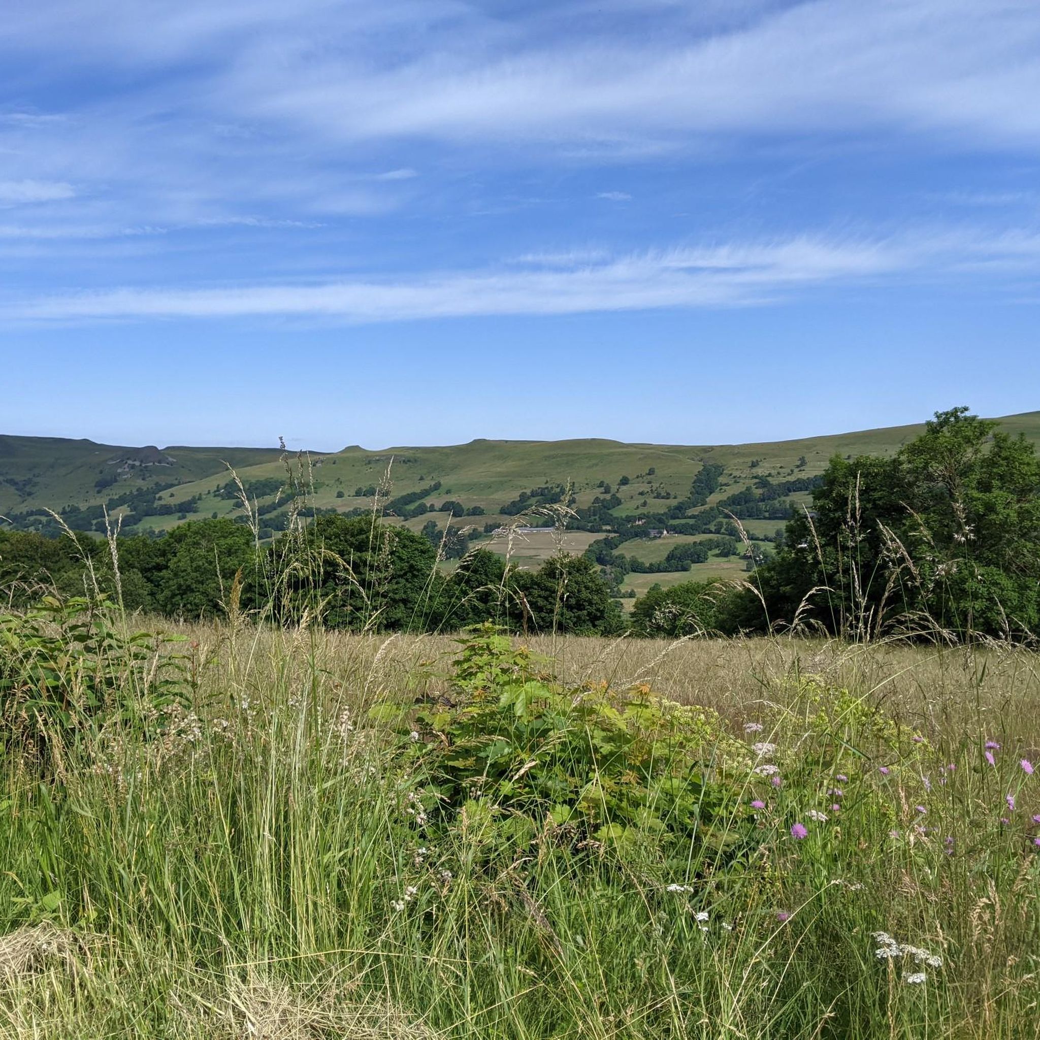
Road cycling routes around Chastel-Sur-Murat are defined by the dramatic volcanic terrain of the Cantal department in Auvergne-Rhône-Alpes. This region, part of the natural regional park of Auvergne volcanoes, features ancient basalt outcrops and the Alagnon river valley. Cyclists encounter challenging ascents and significant elevation gains, characteristic of the rugged volcanic landscape. The area offers diverse topography, from quiet roads in valleys to demanding mountain passes.
Best road cycling routes around Chastel-Sur-Murat
- The most popular road cycling route is Serre…
Last updated: May 18, 2026
4.9
(8)
357
riders
83.6km
05:10
2,150m
2,150m
Hard road ride. Very good fitness required. Mostly well-paved surfaces and easy to ride.
5.0
(4)
109
riders
68.0km
03:40
1,350m
1,350m
Hard road ride. Very good fitness required. Some segments of this route may be unpaved and difficult to ride.

Sign up for free
4.6
(5)
201
riders
109km
06:11
2,460m
2,460m
Hard road ride. Very good fitness required. Mostly well-paved surfaces and easy to ride.
5.0
(6)
80
riders
42.8km
02:13
770m
770m
Moderate road ride. Good fitness required. Mostly well-paved surfaces and easy to ride.
37
riders
68.1km
03:40
1,330m
1,330m
Hard road ride. Very good fitness required. Some segments of this route may be unpaved and difficult to ride.
Get access to more routes and recommendations from other explorers.
Sign up for free
Already have an account?
Our route recommendations are based on thousands of hikes, rides, and runs completed by other people on komoot.
Start today with a free account
Your next adventure awaits.
Login or Signup
Tips from the Community

Quite a climb up the valley. There's a bit more of a climb after this pass heading north, though.
0
0

From Sagnette, stay on the D39. This climb is 2.4 kilometers long, with a positive elevation gain of 165 meters. The Col de La Griffoul from La Sagnette has an average gradient of 7%. Afterward, let yourself glide into the magnificent Brezons Valley.
0
0

Either stressful or relaxed from Puy Mary.
0
0
A beautiful, partly shady climb from Claux to the pass. Then the real challenge begins at Puy Mary.
0
0
Small village before the climb to Puy Mary. A bit deserted on Whit Monday.
3
0

The route takes you through incredibly beautiful scenery as you head up the valley.
1
0

This pass is rather easy if we compare it with what awaits us, the Puy Mary
1
0
Frequently Asked Questions
How many road cycling routes are available around Chastel-Sur-Murat?
There are over 140 road cycling routes in the Chastel-Sur-Murat area, offering a wide range of options for different skill levels. The majority of these routes are rated as moderate or difficult, reflecting the challenging volcanic terrain of the Cantal department.
What is the best time of year for road cycling in Chastel-Sur-Murat?
The best time for road cycling in Chastel-Sur-Murat is typically from late spring through early autumn (May to October). During these months, the weather is generally more favorable, and the mountain passes are clear of snow, allowing access to the region's most iconic climbs and panoramic views.
Are there any easy road cycling routes for beginners or families?
While the region is known for its challenging ascents, there are some easier road cycling options. Approximately 12 routes are classified as easy, offering less demanding terrain suitable for beginners or families looking for a more relaxed ride. These routes often explore the valleys rather than the high mountain passes.
What kind of terrain can I expect on road cycling routes in Chastel-Sur-Murat?
Road cycling in Chastel-Sur-Murat is characterized by dramatic volcanic terrain, featuring significant elevation gains and challenging climbs. You'll encounter rugged landscapes, ancient basalt outcrops, and diverse topography ranging from quiet valley roads to demanding mountain passes like the Col de Pas de Peyrol. Many routes offer breathtaking 360-degree views of the Cantal Volcano.
What are some notable natural features or landmarks to see while cycling?
The region is rich in natural beauty. You can cycle past the unique peat bogs of Chastel-sur-Murat, classified as a Sensitive Natural Area, or enjoy views of prominent peaks like Plomb du Cantal and Puy Peyre-Arse. The Alagnon river valley and its gorges also offer scenic breaks. For more natural attractions, consider exploring the lakes around Chastel-Sur-Murat.
Are there any circular road cycling routes in the area?
Yes, many of the road cycling routes around Chastel-Sur-Murat are designed as circular loops, allowing you to start and end at the same point. An example is the challenging Serre Pass – Pas de Peyrol and Puy Mary loop from Murat, which offers extensive views of the Cantalian volcano.
Where can I find parking for road cycling routes?
Parking is generally available in and around the main towns and villages, such as Murat, which serve as common starting points for many routes. Specific parking information for individual routes can often be found in the route descriptions on komoot.
What do other road cyclists enjoy most about the routes in Chastel-Sur-Murat?
The road cycling routes in Chastel-Sur-Murat are highly rated by the komoot community, with an average score of 4.8 stars from over 50 reviews. Cyclists frequently praise the challenging ascents, the rewarding panoramic views of the volcanic landscape, and the diverse terrain that includes quiet roads and iconic mountain passes.
Are there opportunities for refreshments or amenities along the routes?
The town of Murat, classified as a 'Petite Cité de Caractère,' offers various amenities including cafes, restaurants, and accommodation. While some routes might pass through smaller villages with limited services, planning your stops around Murat or other larger settlements is advisable for refreshments and breaks.
Can I reach the starting points of road cycling routes by public transport?
Public transport options in this mountainous region can be limited. While some regional bus services might connect larger towns, direct access to all route starting points via public transport may not be feasible. It's recommended to check local transport schedules in advance or consider driving to a suitable starting location.
Are there any routes that follow in the footsteps of the Tour de France?
Yes, the region is known for its challenging mountain passes, some of which have been featured in the Tour de France. The Col de Pas de Peyrol, for instance, is an iconic climb that offers exciting challenges and panoramic views, allowing cyclists to experience a taste of professional cycling routes.
What are some of the most challenging road cycling routes in the area?
For experienced cyclists seeking a challenge, routes like the Col de Prat de Bouc – View of Albepierre loop from Murat, covering over 67 km with significant elevation, are highly recommended. The region's volcanic landscape naturally lends itself to demanding ascents and descents.
Most popular routes around Chastel-Sur-Murat
Most popular attractions around Chastel-Sur-Murat

Get inspired with the komoot mobile app


Explore more
Browse the best Road cycling routes in other regions.
