The best cycling routes in Albula
4.8
(191)
5,077
riders
102
rides
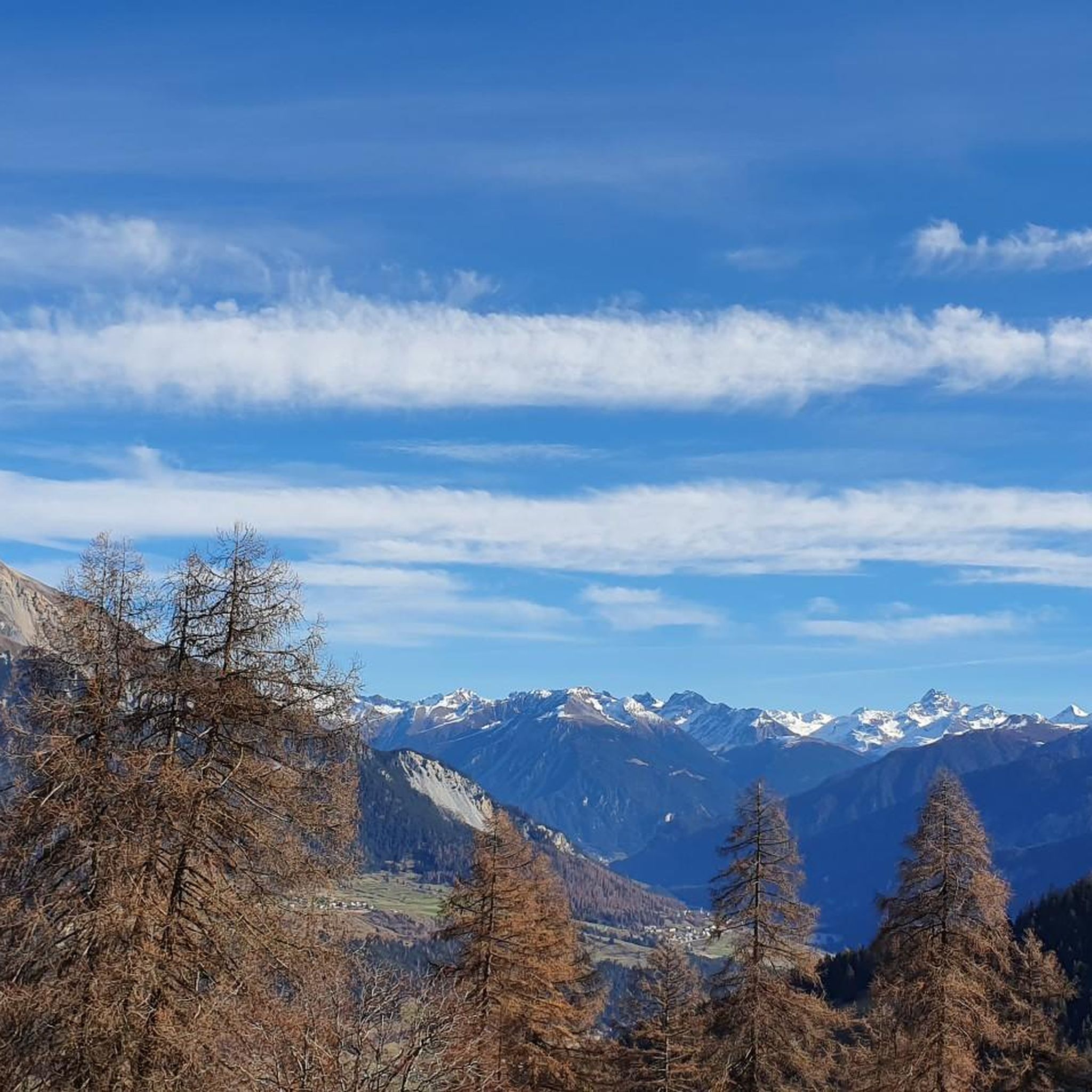
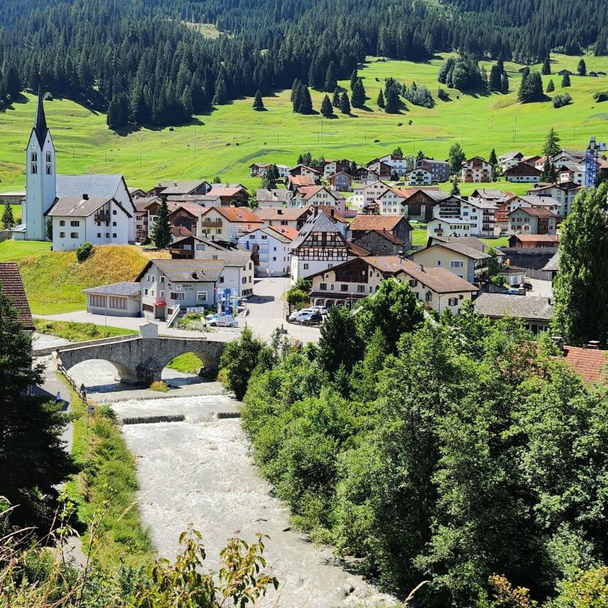
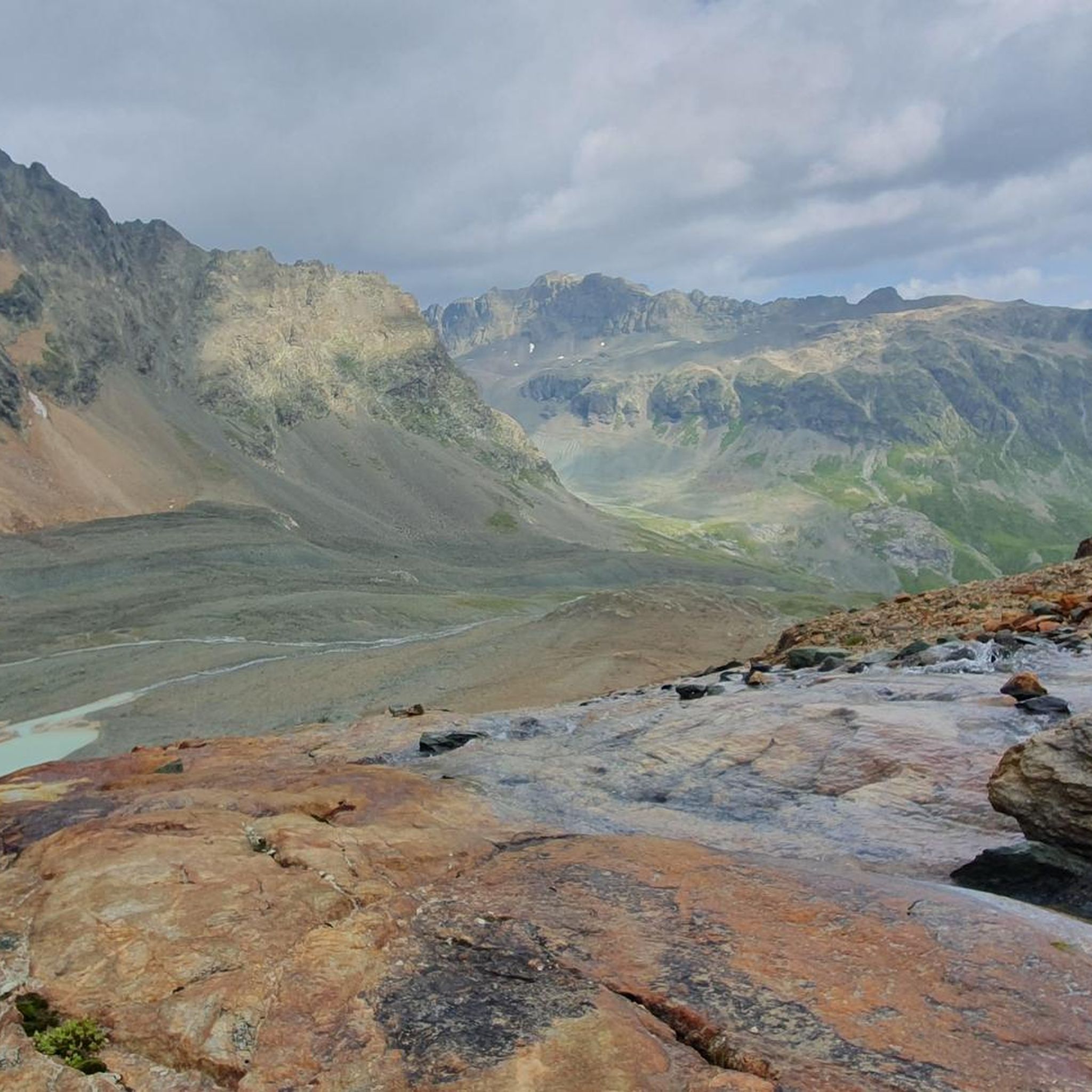
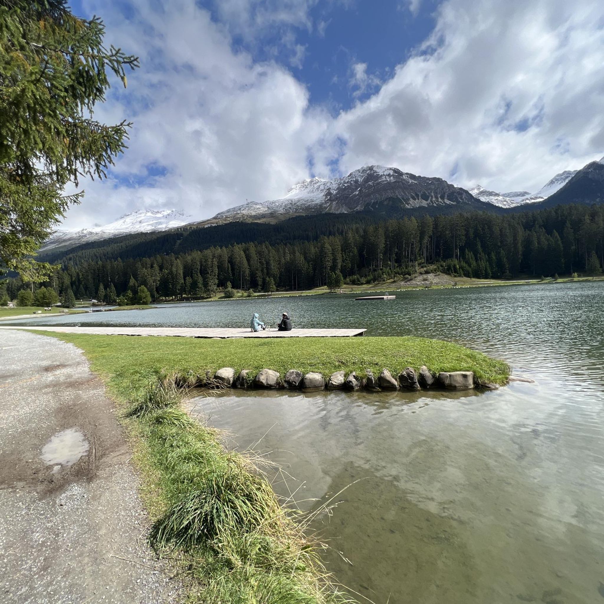
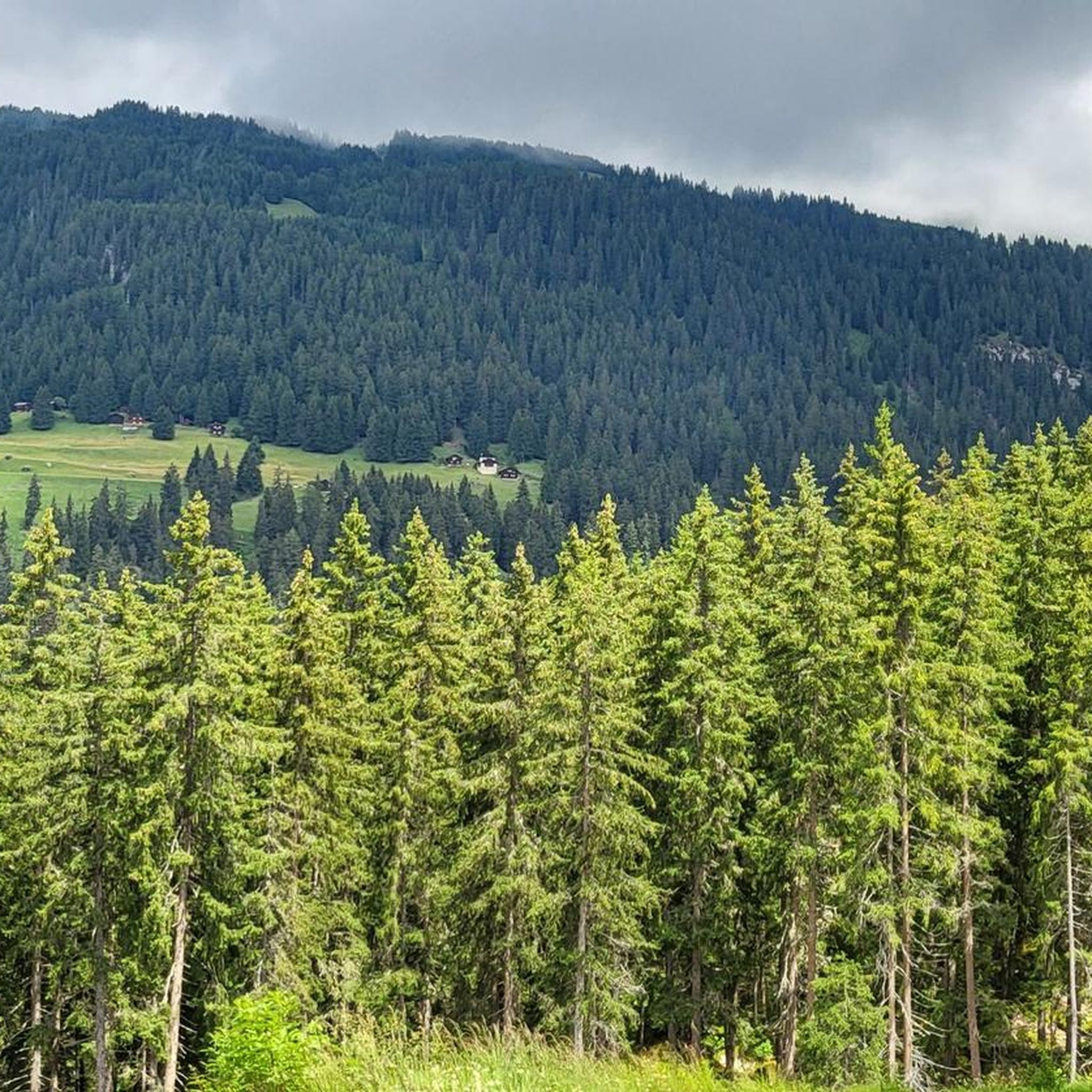
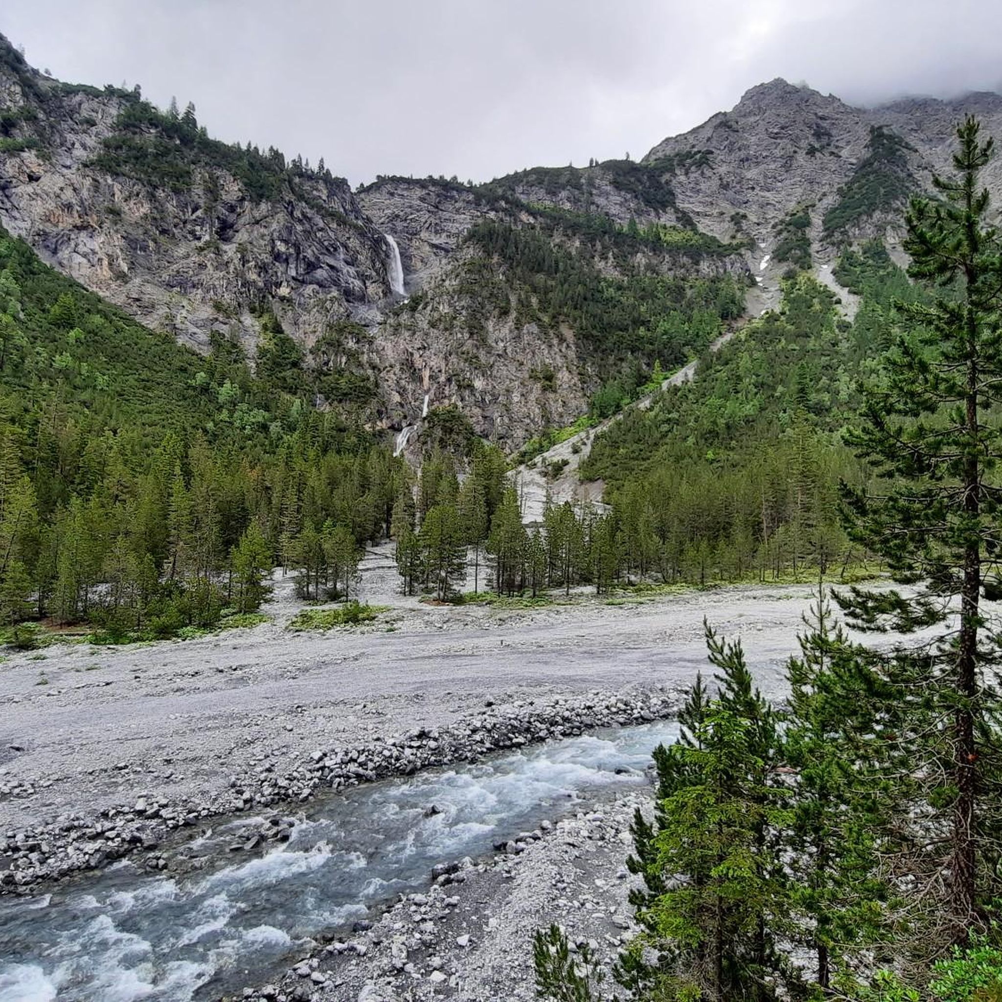
Touring cycling in Albula, located in the Swiss Alps of Graubünden, offers routes characterized by demanding climbs and picturesque landscapes. The region features high mountain passes such as the Albula Pass and Julier Pass, alongside lush river valleys and dramatic, narrow forested sections. Cyclists encounter diverse terrain, including the deep Bergünerstein Gorge and scenic lakes like Lai da Palpuogna.
Best touring cycling routes in Albula
- The most popular touring cycling route is Bergün/Bravuogn, post office – Gasthaus Spinas, Val Bever loop from Bergün/Bravuogn, a 38.8 miles (62.4 km) trail that takes 4 hours 55 minutes to complete. This route traverses high mountain passes and scenic valleys, characteristic of the Albula region.
- Another top favourite among local touring cyclists is Alp Nova Mountain Station – View of Zorten loop from Muldain, a difficult 14.0 miles (22.5 km) path. It offers views of the Albula Valley and surrounding peaks.
- Local touring cyclists also love the Chur Old Town – St. Martin's Church, Chur loop from Lenzerheide, a 20.6 miles (33.1 km) trail leading through historic towns and alpine landscapes, often completed in about 3 hours 11 minutes.
- Touring cycling in Albula is defined by high mountain passes, lush river valleys, and dramatic gorges. The network offers options for various ability levels, from challenging climbs to more moderate paths.
- The routes in Albula are highly rated by the komoot community with an average score of 4.8 stars from over 170 reviews. More than 4800 touring cyclists have used komoot to explore Albula's varied terrain.
Last updated: August 14, 2026
4.9
(18)
235
riders
62.5km
04:56
1,730m
1,730m
Hard bike ride. Very good fitness required. Mostly paved surfaces. Suitable for all skill levels.
5.0
(6)
239
riders
21.8km
02:26
860m
860m
Hard bike ride. Very good fitness required. Mostly paved surfaces. Suitable for all skill levels.

Sign up for free
4.8
(5)
199
riders
32.9km
03:10
1,100m
1,100m
Hard bike ride. Very good fitness required. You may need to push your bike for some segments of this route.
4.9
(9)
206
riders
32.9km
03:21
1,020m
1,020m
Hard bike ride. Very good fitness required. Mostly paved surfaces. Suitable for all skill levels.
4.7
(7)
124
riders
73.3km
05:26
1,690m
1,690m
Hard bike ride. Very good fitness required. Mostly paved surfaces. Suitable for all skill levels.
5.0
(4)
139
riders
39.1km
03:27
990m
990m
Hard bike ride. Very good fitness required. Mostly paved surfaces. Suitable for all skill levels.
4.6
(22)
454
riders
69.3km
05:29
1,950m
1,950m
Hard bike ride. Very good fitness required. Mostly paved surfaces. Suitable for all skill levels.
5.0
(6)
134
riders
28.9km
03:09
1,040m
1,040m
Hard bike ride. Very good fitness required. Mostly paved surfaces. Suitable for all skill levels.
4.0
(6)
115
riders
Hard bike ride. Very good fitness required. Mostly paved surfaces. Suitable for all skill levels.
5.0
(4)
114
riders
54.2km
04:55
1,360m
1,360m
Hard bike ride. Very good fitness required. You may need to push your bike for some segments of this route.
Get access to more routes and recommendations from other explorers.
Sign up for free
Already have an account?
Our route recommendations are based on thousands of hikes, rides, and runs completed by other people on komoot.
Start today with a free account
Your next adventure awaits.
Login or Signup
Other adventures in Albula


Tips from the Community

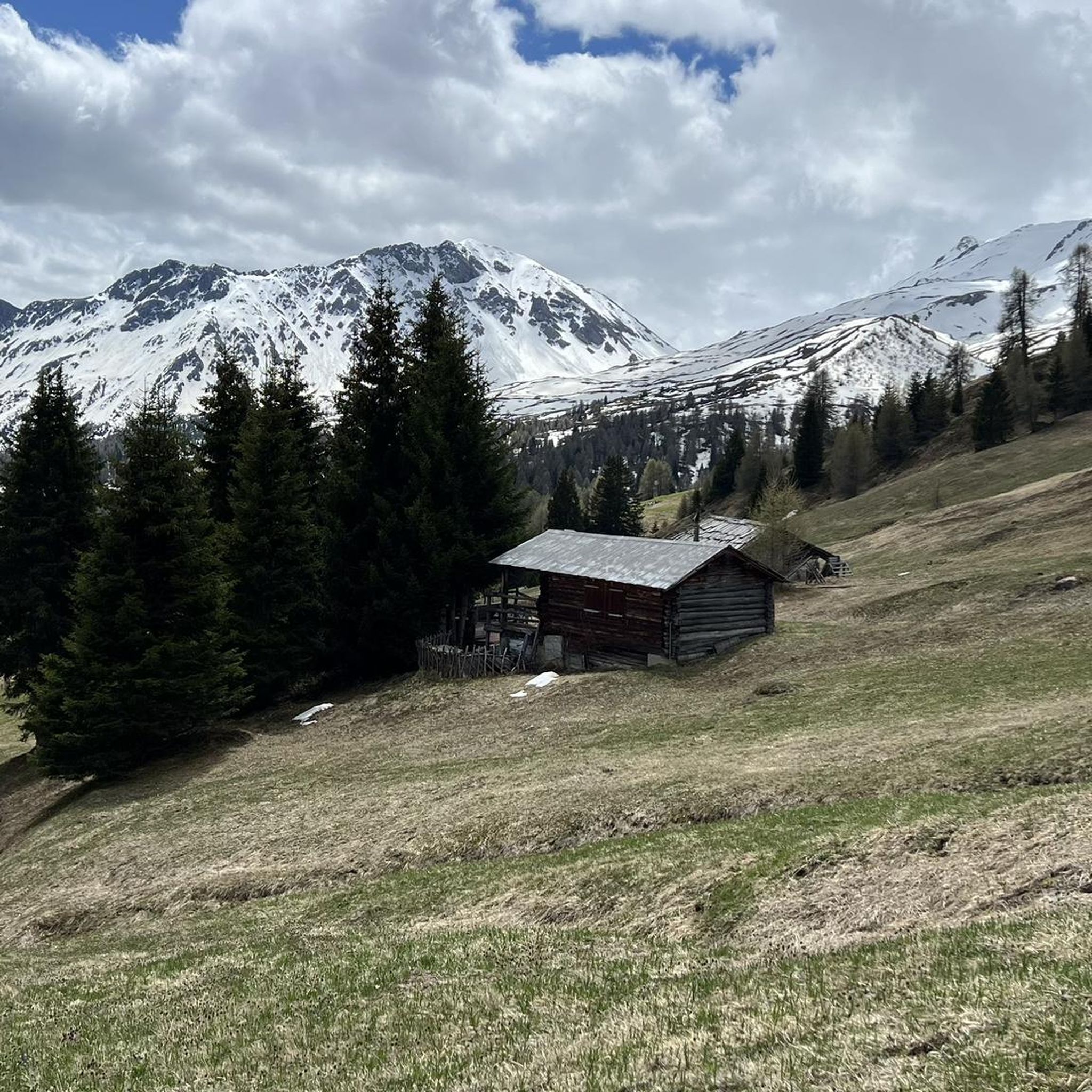
Cozy mountain house where you can get good food
0
0

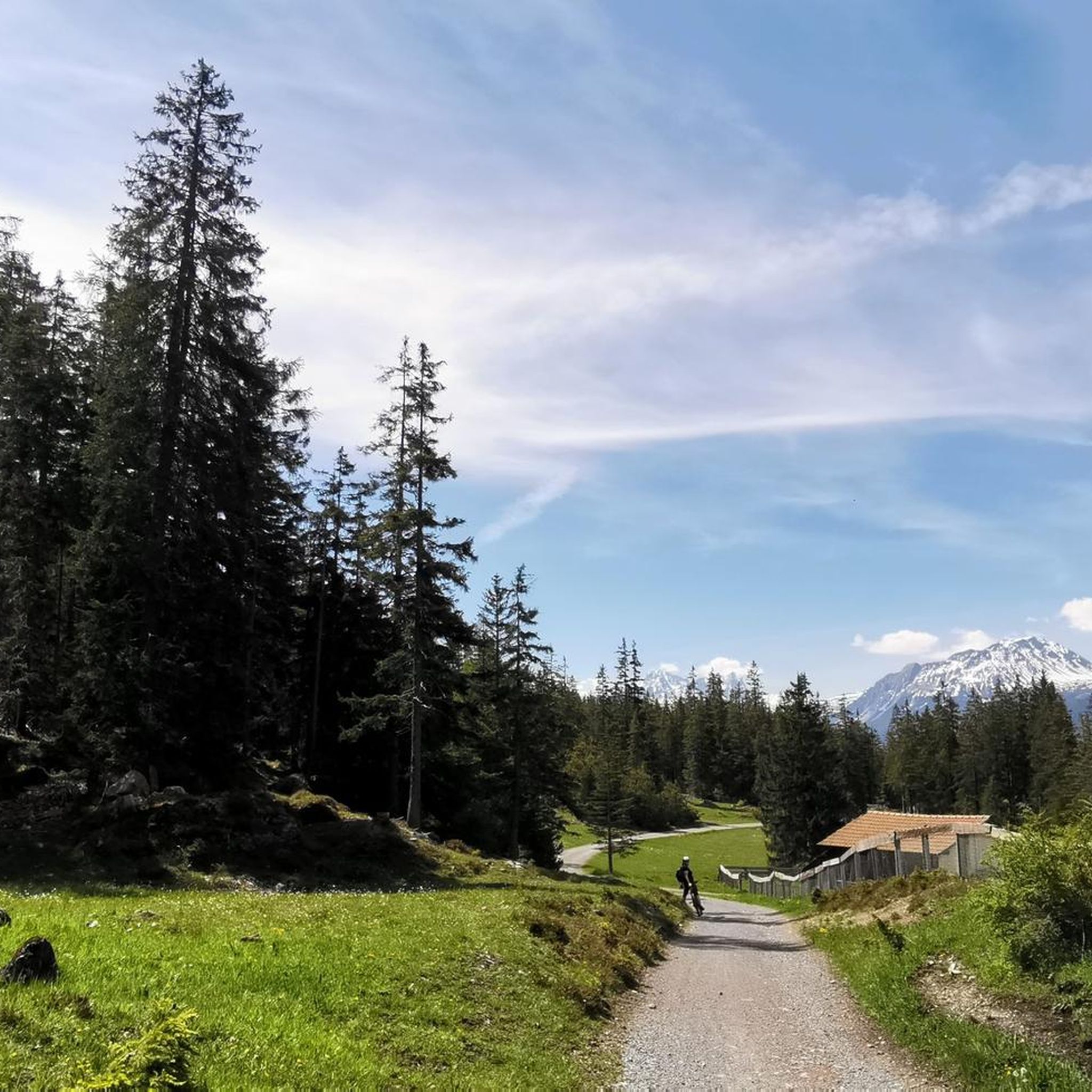
Beautiful, cool hike almost entirely in the forest.
0
0

A village submerged - Marmorera The flooding (1954): 29 houses, 52 stables and a church sank into the water. A new Marmorera was built slightly higher up on the slope for the relocated inhabitants. On September 14, 1955, the Marmorera Castiletto dam was inaugurated. Among those present were, in addition to the Zurich City President Emil Landolt, local politicians such as Gion Not Spegnas, District President of Oberhalbstein, as well as involved entrepreneurs and officials. While the illustrious guests attended the ceremony in the high-alpine valley basin, the plant further down in Tinizong, one of the three power station stages, was already producing electricity for Zurich. The reservoir looked like a natural mountain lake with a smooth water surface, in which the sunlight glittered. But the apparent mountain idyll hides a secret. On the dark ground lie the ruins of the village of Marmorera – once a flourishing community that benefited from coach traffic over the Julier Pass before the construction of the Albula Tunnel, but whose citizens had been barely making a living from agriculture since the Second World War. Text / Source: Swiss National Museum, Landesmuseum Zürich, Museumstrasse 2, Zurich https://blog.nationalmuseum.ch/2022/09/staudamm-marmorera/
13
0
Lai da Marmorera / Marmorerasee since 1954 Sunken village and lost homeland – The story of Marmorera The story of Marmorera is a story of change and loss. In the 1950s, as Zurich increasingly needed electricity, a reservoir was built on the Ova da Marmorera river. This led to the flooding of the village of Marmorera, which then sank into the reservoir. The inhabitants were resettled, and the old village disappeared into the water of the new Marmorerasee. The Marmorera Castiletto dam was completed in 1954, and the old municipality of Marmorera was replaced by the new Marmorera. Today, only a few houses remain on the shore of the lake, and the story of Marmorera remains a fascinating testament to a turbulent past. Text / Source: wikipedia.org https://de.wikipedia.org/wiki/Lai_da_Marmorera
13
0
Julier Pass, History (Pass height 2284 m above sea level) The column remnants exactly at the summit of the Julier Pass and the finds of Roman coins nearby point to a very early use of this Alpine crossing. The Septimer Pass, a few kilometers to the west, which was however steeper and more avalanche-prone, can certainly be considered a competitor. What is certain is that both were used intensively in Roman times. The Julier even with two-wheeled carts. In the age of packhorse trains, the Julier increasingly lost importance because the topography at the Septimer Pass was hardly a factor and, moreover, the detour via the Engadin was not necessary. With the construction of a cart track over the Septimer (1387), the Julier was definitively left behind. The Julier remained important for access to the Upper Engadin and the Bernina Pass. The actual road construction over the Julier took place between 1820 and 1826. In this phase of history, the Julier retained "the upper hand" over the Septimer. On the one hand, topographical reasons were decisive, and on the other hand, the canton could not afford to ignore the Engadin. This was the first road construction project in which the canton acted as the client. In the second half of the 19th century, various route adjustments followed, which became necessary due to the increasing feeder traffic for the Upper Engadin health resorts. The opening of the Albula Line of the Rhaetian Railway in 1903 caused car traffic over the Julier to collapse again. When the Federal Council put pressure on the Graubünden government in 1923 for a car-suitable transit route, the canton opted for the Julier route. Between 1935 and 1940, the pass road was renovated and was the first Alpine crossing to receive an asphalt surface. Today, the Julier is the most important, year-round open, northern access to the Engadin. Text / Source: Interessengemeinschaft Alpenpässe IAP, Postfach 11, Realp https://www.alpen-paesse.ch/de/alpenpaesse/julierpass/
13
0
Already in the Roman Empire around 2,000 years ago Already in the Roman Empire around 2,000 years ago, the Julier Pass was of great importance. At the pass summit, two columns of a Roman sanctuary still stand today. Today, the pass road over the Julier is the most important road connection to the Engadin and is passable all year round. In the vicinity of the Julier, you will find numerous hiking and biking routes on which the landscape can be ideally explored. From the Julierhospitz (pass summit 2284 m above sea level), the exploration tour or hike to the clear mountain lake Leg Grevasalvas begins. Text / Source: Graubünden Ferien, Alexanderstrasse 24, Chur https://www.graubuenden.ch/de/ausflugsziele/julierpass
13
0

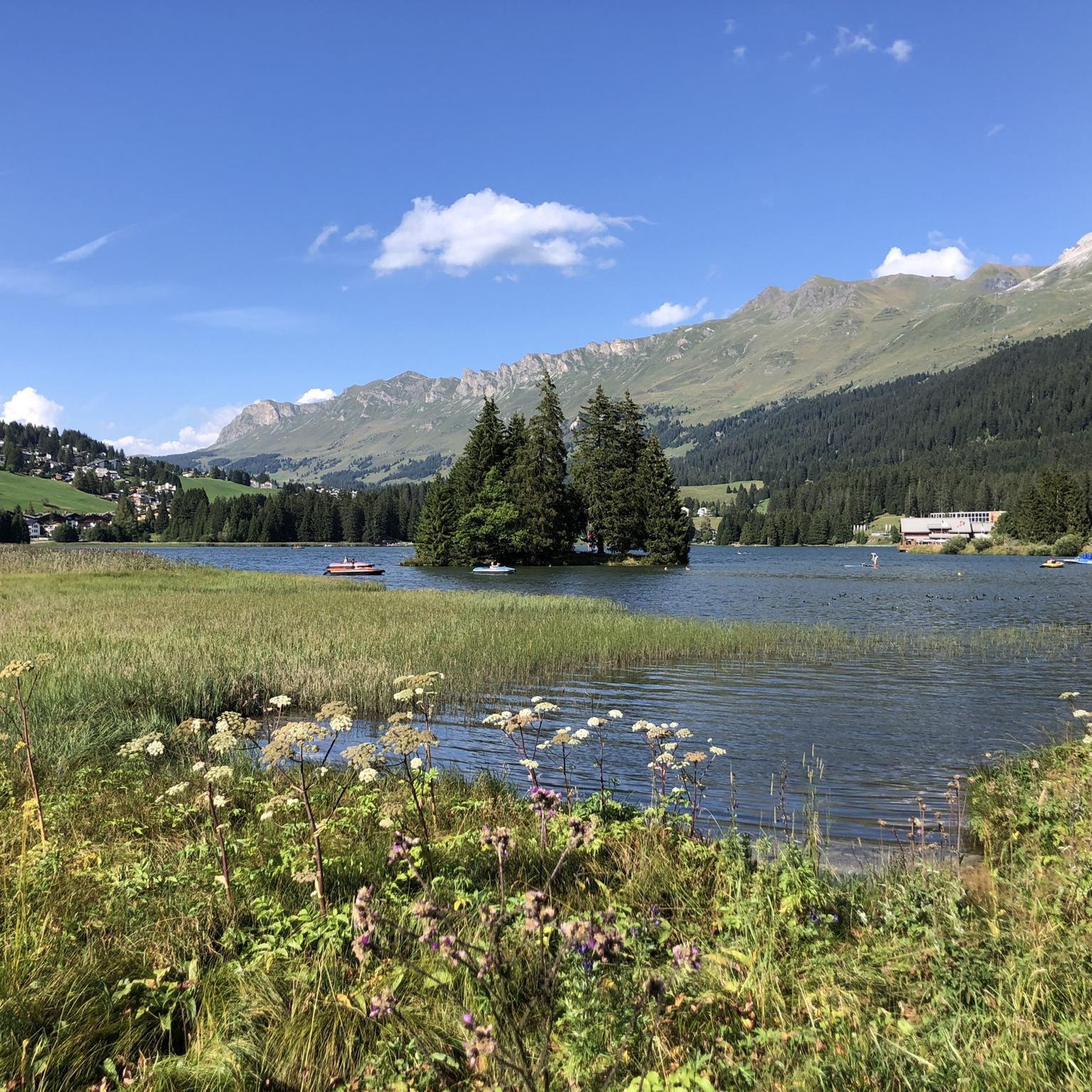
Experience bathing fun in Churwalden, surrounded by the breathtaking mountain world of Graubünden. The heated outdoor pool in Churwalden offers young and old everything their heart desires.
0
0

Beautiful view up- and downstream. In spring with impressively low water levels, which makes the massive dam visible.
1
0
Frequently Asked Questions
How many touring cycling routes are available in Albula?
Albula offers a wide selection of touring cycling routes, with over 100 options to explore. These routes cater to various skill levels, from moderate paths to challenging mountain pass climbs.
What kind of terrain can I expect on touring cycling routes in Albula?
You can expect a diverse and dramatic landscape. Routes often feature high mountain passes like the Albula Pass and Julier Pass, offering significant elevation gains and winding roads. You'll also find lush river valleys, deep gorges such as the Zügenschlucht, and serene lakes like Lake Albula and Lai da Palpuogna. The terrain combines paved surfaces suitable for road cycling with more varied paths for touring.
Are there touring cycling routes suitable for beginners or less experienced cyclists in Albula?
While many routes in Albula are challenging, there are options for less experienced cyclists. The region offers 5 easy and 33 moderate touring cycling routes. These routes provide a gentler introduction to the area's beauty without the extreme demands of the high mountain passes.
What are some of the most challenging touring cycling routes in Albula?
Albula is known for its demanding climbs. Some of the more challenging routes include the Bergün/Bravuogn, post office – Gasthaus Spinas, Val Bever loop from Bergün/Bravuogn, which covers 38.8 miles with over 1700 meters of elevation gain. Another difficult option is the Julier Pass – Tiefencastel loop from Tiefencastel, a 45.5-mile route with similar elevation. These routes traverse high mountain passes and are ideal for experienced touring cyclists.
Are there family-friendly touring cycling routes in Albula?
Yes, Albula offers family-friendly cycling experiences. While many routes involve significant climbs, areas within Parc Ela, Switzerland's largest nature park, provide diverse natural beauty and trails suitable for families. Additionally, events like the "Albula Mountain Slow Up" periodically close sections of the Albula Pass to cars, creating unique car-free cycling opportunities perfect for families on e-bikes or with children.
Can I find circular touring cycling routes in Albula?
Many touring cycling routes in Albula are designed as loops, allowing you to start and finish in the same location. Examples include the popular Bergün/Bravuogn, post office – Gasthaus Spinas, Val Bever loop from Bergün/Bravuogn and the Chur Old Town – St. Martin's Church, Chur loop from Lenzerheide. These circular routes offer varied scenery without the need for shuttle services.
What natural attractions can I see along touring cycling routes in Albula?
Albula is rich in natural beauty. You can cycle past the stunning Albula Pass and Julier Pass, enjoy views of Lake Albula and Lai da Palpuogna, and experience the dramatic Zügenschlucht and Via Mala Gorge. Parc Ela also offers opportunities for wildlife spotting amidst diverse landscapes.
Are there any interesting landmarks or cultural sights to see while cycling in Albula?
Absolutely. The UNESCO World Heritage-listed Rhaetian Railway is a major highlight, with its impressive viaducts like the iconic Landwasser Viaduct. You can often cycle parallel to the railway line. Historic villages such as Bergün, with its authentic charm and elaborately painted Engadine houses, offer pleasant stops and cultural insights. The Alter Schin Historic Trail also provides a glimpse into the region's past.
What do other touring cyclists enjoy the most about touring cycling in Albula?
The touring cycling routes in Albula are highly rated by the komoot community, with an average score of 4.8 stars from over 170 reviews. Cyclists frequently praise the dramatic Alpine landscapes, the challenging yet rewarding climbs of the mountain passes, and the unique experience of cycling alongside the historic Rhaetian Railway. The combination of natural beauty and cultural landmarks makes for a memorable experience.
Can I access touring cycling routes in Albula using public transport?
Yes, Albula is well-served by public transport, particularly the Rhaetian Railway, which is a significant part of the region's infrastructure. Many routes are accessible from train stations in towns like Bergün, Tiefencastel, and Filisur. This allows for flexible planning, including one-way trips or combining cycling with train travel through the scenic valleys and over viaducts.
What is the best season for touring cycling in Albula?
The best season for touring cycling in Albula is typically from late spring to early autumn (May to October). During these months, the high mountain passes are generally clear of snow, and the weather is more stable and pleasant for cycling. Always check local weather conditions and pass openings before planning your trip, as Alpine weather can be unpredictable.
Are there places to eat or stay along the touring cycling routes in Albula?
Yes, the Albula region has numerous villages and towns that offer amenities for cyclists. You'll find cafes, restaurants, and accommodation options in places like Bergün, Tiefencastel, and Savognin. Many routes pass through or near these settlements, providing convenient spots for refreshments, meals, or overnight stays.
Most popular routes in Albula
Most popular attractions in Albula

Get inspired with the komoot mobile app


Didn’t find what you were looking for?
Check out more Cycling routes throughout Albula below and find the perfect route in your destination.
Explore more
Browse the best Cycling routes in other regions.
