The best running trails around Bargum
4.4
(184)
2,284
runners
249
runs
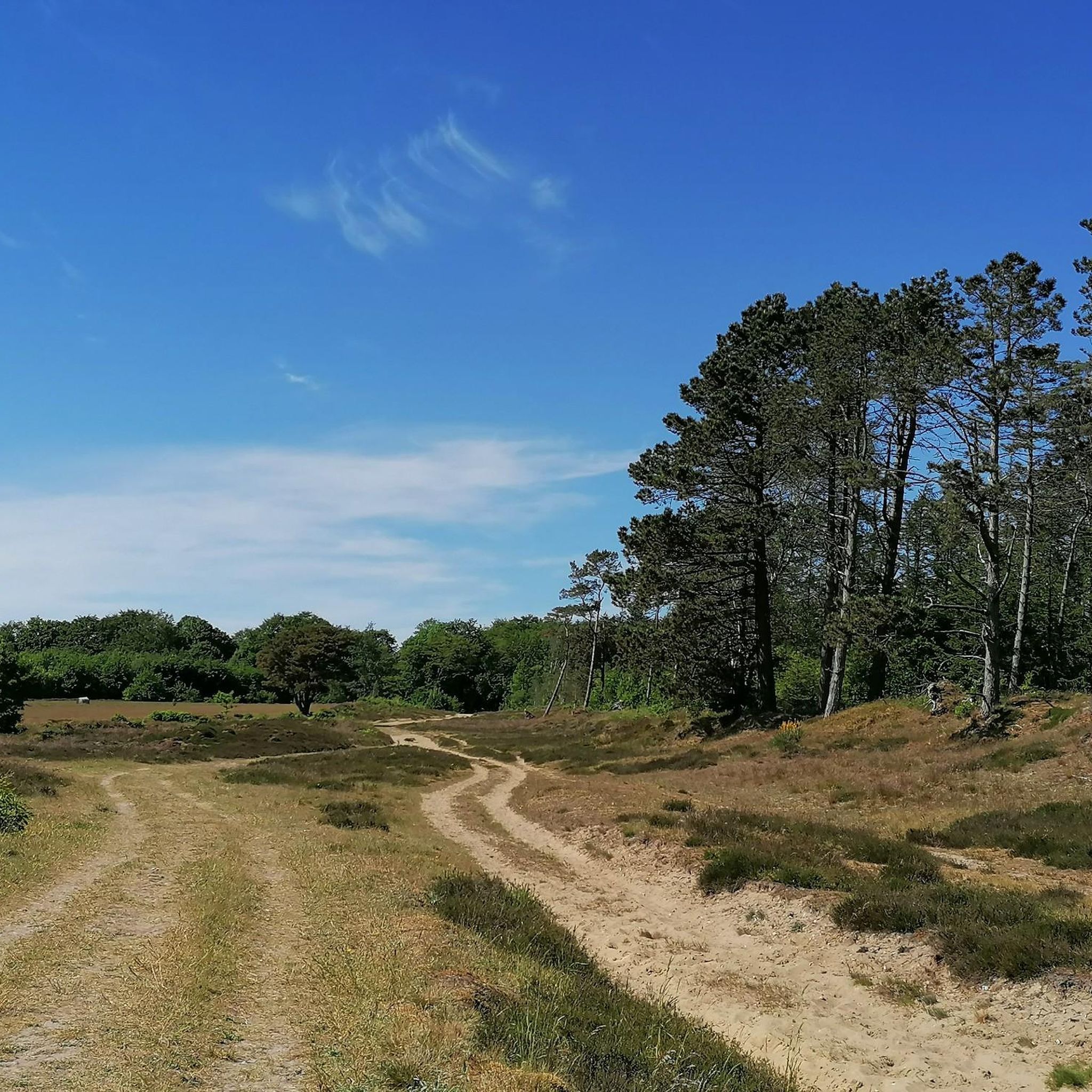
Jogging around Bargum offers access to the diverse natural landscapes of Nordfriesland. The region is characterized by its relatively flat terrains, making it suitable for various running preferences. Nearby, the Bordelum Heath provides a significant natural attraction with nature trails and sections featuring small moors. The broader Nordfriesland district includes a mix of forests and mudflats, offering varied scenery for outdoor activities.
Best jogging routes around Bargum
- The most popular jogging route is Burial mound loop from Enge-Sande, a…
Last updated: October 27, 2026
23
runners
4.95km
00:34
10m
10m
Easy run. Mostly paved surfaces.
9
runners
8.62km
00:57
40m
40m
Moderate run. Good fitness required. Mostly paved surfaces.

7
runners
7.69km
00:49
10m
10m
Moderate run. Good fitness required. Mostly paved surfaces.
3.0
(1)
8
runners
3.96km
00:25
10m
10m
Easy run. Mostly paved surfaces.
5
runners
4.63km
00:29
10m
10m
Easy run. Mostly paved surfaces.
Get access to more routes and recommendations from other explorers.
Already have an account?
Our route recommendations are based on thousands of hikes, rides, and runs completed by other people on komoot.
Start today with a free account
Your next adventure awaits.
Tips from the Community

A nice corner to take a break. It looks a bit like the Lüneburg Heath. A nice corner.
0
0

https://de.m.wikipedia.org/wiki/Rantzauh%C3%B6he With a nice bench on top....
7
0

Beautiful place on the Ochsenweg!
0
1
Really a special place, great atmosphere in the middle of the forest.
17
0


The Rantzauhöhe is the third-highest elevation in the North Frisia district. It is located in the Langenberg Forest and is 45 m high. The Langenberg Forest is located in the municipalities of Enge-Sande, Leck, and Stadum. The Langenberg and the Rantzauhöhe also have a cultural-historical function, as they once separated the Danish and North Frisian settlement areas in western Southern Schleswig. The name Rantzauhöhe comes from the Danish ransel, meaning "backpack," which was later reinterpreted in German as "Rantzaul." A burial mound is said to have once stood on the Warkshöhe, the highest point of the Langenberg. A stone bearing an inscription, possibly runic, was allegedly found on another nearby elevation of the Langenberg. Legend of the origin of the Langenberg: Once upon a time, a giant traveled north from Dithmarschen across the Eider River to help build a church in Ripen. As he walked through the sands of the Goesharde, his wooden shoes filled with sand. He sat down north of the Soholmer Au and poured out the sand. This resulted in the two highest peaks of the Langenberg: Ranselsberg and Werkshug. https://de.wikipedia.org/wiki/Rantzauh%C3%B6he By R2D3LA - Own work, CC BY-SA 4.0, https://commons.wikimedia.org/w/index.php?curid=108383965
2
1


Unfortunately, no further explanation can be found at this historic location. A sign merely indicates that it is an archaeological monument. Nevertheless, the place is special...
4
0
Frequently Asked Questions
How many running routes are available around Bargum?
There are over 260 running routes around Bargum, offering a wide range of options for different preferences and fitness levels. The komoot community has explored more than 2000 of these routes.
What kind of terrain can I expect on jogging routes in Bargum?
The region of Nordfriesland, including Bargum, is characterized by its relatively flat landscapes, making it ideal for running. You'll find a mix of heathland areas, such as the Bordelum Heath, and varied Nordfriesland scenery that includes forests and mudflats. Many paths are easily accessible and well-maintained.
Are there running routes suitable for beginners in Bargum?
Yes, Bargum offers several easy running routes perfect for beginners. For example, the Running loop from Bargum is an easy 2.7-mile (4.4 km) trail that leads through local fields and accessible paths, typically completed in about 27 minutes.
Are there any challenging running trails near Bargum?
While the region is generally flat, there are routes that offer a moderate challenge. Out of over 260 routes, 198 are classified as moderate. These routes might involve longer distances or slightly more varied terrain to keep your run engaging.
What are some natural features or landmarks I can see while running in Bargum?
The area around Bargum offers diverse natural beauty. You can explore the Lütjenholmer Heidedünen Nature Reserve, discover ancient sites like Barrow 36, or enjoy the tranquility of The Schwarze Wehle. The Bordelum Heath, with its nature trails and small moors, is also a significant natural attraction nearby.
Are there any circular running routes in the Bargum area?
Yes, many of the running routes around Bargum are designed as loops, offering convenient circular paths. An example is the Running loop from Langenhorn (Schleswig), a moderate 4.8-mile (7.7 km) path that provides views of the flat landscape.
What do other runners say about the trails in Bargum?
The running routes in Bargum are highly rated by the komoot community, with an average score of 4.5 stars from over 150 reviews. Runners often praise the varied Nordfriesland landscapes and the accessibility of the paths, making for an enjoyable outdoor experience.
Are there any running routes that pass through unique historical or cultural sites?
Yes, some routes offer glimpses into the region's history. For instance, the Burial mound loop from Enge-Sande is a 5.4-mile (8.6 km) trail that passes through varied Nordfriesland scenery, including historical elements like burial mounds.
Can I find running routes with good viewpoints in Bargum?
While Bargum is known for its flat terrain, the broader Nordfriesland region offers opportunities for scenic views. You might find routes that lead to spots like the Birdwatching Hide Jader-Haien-Koog, which offers excellent vantage points for observing local wildlife and landscapes.
Are there running routes suitable for families with children?
The generally flat and accessible paths around Bargum make many routes suitable for families. Easy loops, like the Running loop from Stedesand (2.5 miles / 3.9 km), are great for a family outing, allowing everyone to enjoy the natural surroundings at a comfortable pace.
What is the best time of year to go running in Bargum?
Bargum's diverse natural scenery, including heathlands and varied Nordfriesland landscapes, makes it suitable for running throughout much of the year. Spring and autumn offer pleasant temperatures and beautiful colors, while summer provides longer daylight hours. Even in wetter periods, well-maintained paths and jetties in areas like Bordelum Heath ensure accessibility.
Are there any running routes that are particularly long for endurance training?
While many routes are moderate, you can combine shorter loops or explore longer trails for endurance. For example, the Running loop from Langenhorn covers 4.6 miles (7.4 km), and by exploring the extensive network, you can extend your run to suit your training needs.
Most popular routes around Bargum
Most popular attractions around Bargum

Get inspired with the komoot mobile app


Explore more
Browse the best Running Trails & Routes in other regions.
