The best walks and hikes around Lacarry-Arhan-Charritte-De-Haut
4.6
(616)
5,533
hikers
159
hikes
Hiking around Lacarry-Arhan-Charritte-De-Haut offers diverse terrain characterized by its mountainous landscape, featuring prominent peaks, open crests, and dense forests. The region provides a variety of hiking trails that traverse both challenging ascents and more gentle forest paths. This area is situated within a natural environment, making it suitable for outdoor exploration.
Best hiking trails around Lacarry-Arhan-Charritte-De-Haut
- The most popular hiking route is Escaliers peak, a moderate 3.9 miles (6.3 km) trail that takes 2 hours 19 minutes to complete.…
Last updated: July 31, 2026
4.7
(23)
156
hikers
6.33km
02:19
390m
400m
Moderate hike. Good fitness required. Easily-accessible paths. Suitable for all skill levels.
4.8
(5)
96
hikers
18.2km
06:49
870m
870m
Hard hike. Very good fitness required. Mostly accessible paths. Sure-footedness required.

Sign up for free
4.5
(6)
23
hikers
9.43km
02:49
280m
290m
Moderate hike. Good fitness required. Easily-accessible paths. Suitable for all skill levels.
4.5
(4)
74
hikers
16.1km
05:56
760m
760m
Hard hike. Very good fitness required. Mostly accessible paths. Sure-footedness required.
4.9
(8)
64
hikers
19.5km
06:32
890m
890m
Hard hike. Very good fitness required. Mostly accessible paths. Sure-footedness required.
Get access to more routes and recommendations from other explorers.
Sign up for free
Already have an account?
Our route recommendations are based on thousands of hikes, rides, and runs completed by other people on komoot.
Start today with a free account
Your next adventure awaits.
Login or Signup
Popular around Lacarry-Arhan-Charritte-De-Haut

Tips from the Community

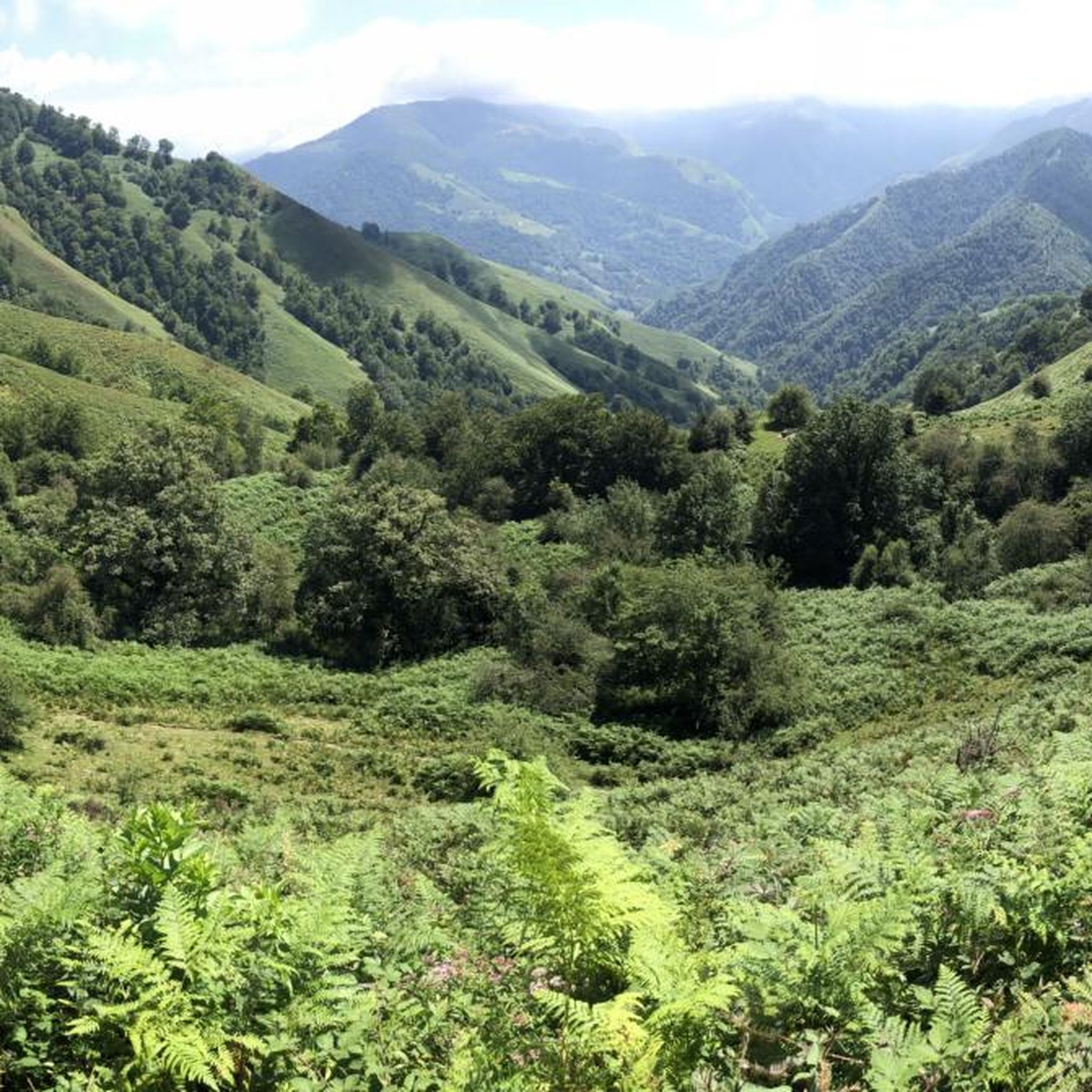
Along the border ridge of the Basque Pyrenees, Zazpigain (also spelled Xaxpigaña) is a visually striking summit known for its dramatic crests and wide-open mountain views. Standing near the prominent peak of Mount Orhy, this high-altitude point offers hikers a magnificent perspective over the rolling green valleys. Reaching Zazpigain is a thrilling effort for anyone traversing this wild section of the range.
2
0
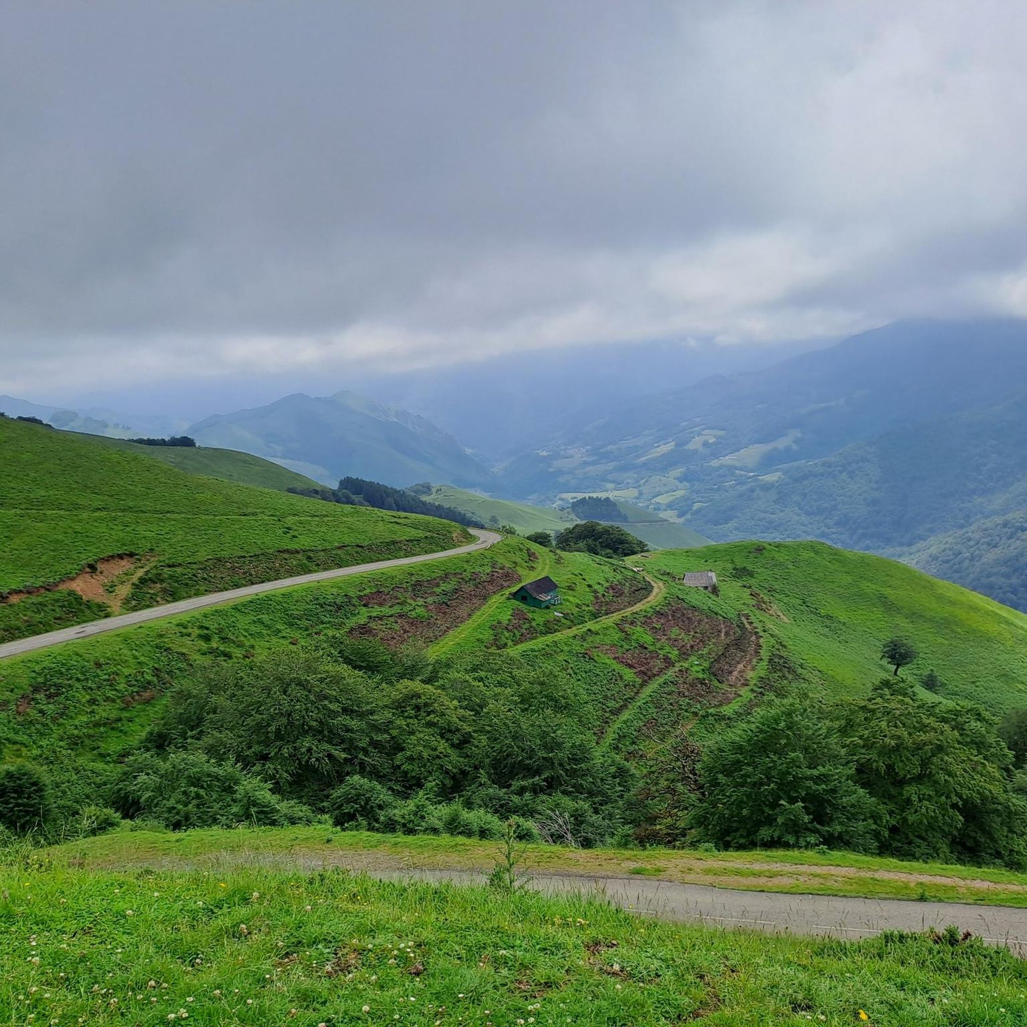
Col de Millagate is a high mountain pass known for its sweeping open pastures and dramatic vantage points. Crossing this pass rewards trekkers with breathtaking panoramas of rolling green ridgelines and distant Pyrenean summits. Often surrounded by grazing livestock and wild mountain terrain, Millagate is a peaceful landmark that marks a memorable transition along long-distance trekking routes like the GR10 and HRP.
2
0
Perched atop the wind-swept Col de Bagargiak at an elevation of over 1,300 meters, Les Chalets d'Iraty is a charming mountain resort nestled right at the edge of the sprawling Iraty Forest. Operating as a cozy base for winter sports and a vibrant outdoor hub during the summer months, it offers a perfect blend of comfort and convenience for hikers on the GR10 or HRP. Trekkers can find well-equipped wooden chalets, dormitory-style rooms, a small grocery shop for essential resupplies, and a warm restaurant serving hearty local Basque dishes. It stands out as an inviting, comfortable oasis high in the Pyrenees where you can rest your legs, enjoy stunning mountain views, and recharge before tackling the next tough stage.
1
0
Lake Iraty (Lac d'Iraty) a Peaceful Mountain Reservoir. Nestled in the heart of the iconic Basque mountains, Lake Iraty (Lac d'Iraty) is a serene reservoir surrounded by the vast beech canopy of the Iraty Forest. The calm, clear waters mirror the rolling green hills, making it one of the most picturesque stops along the surrounding trails.
1
0

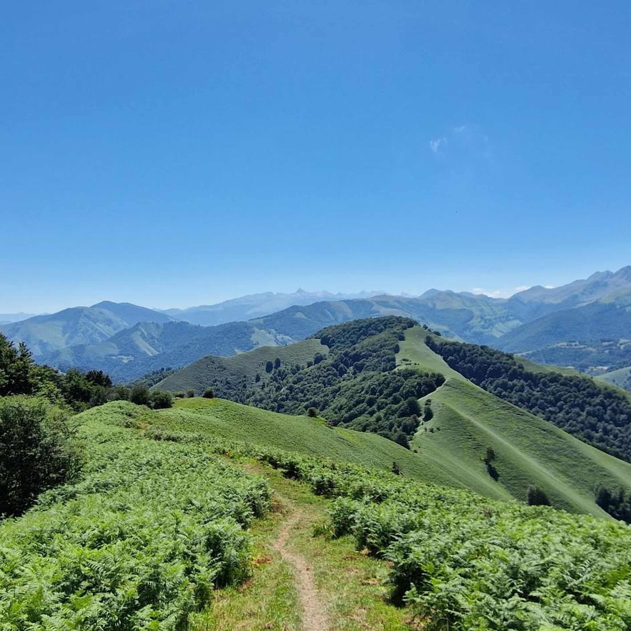
Breathtaking view of the Iraty massif and its forest, the Orly peak, as well as the first Béarnais summits, Anie, Table des trois rois, Ansabère …
0
0

Pretty little lake located in the forest, at the edge of the road.
0
0

Worthwhile climb with a fantastic view from the summit.
1
0

Frequently Asked Questions
How many hiking trails are available around Lacarry-Arhan-Charritte-De-Haut?
There are over 130 hiking trails in the region of Lacarry-Arhan-Charritte-De-Haut. These routes offer a diverse range of experiences, from easy forest walks to challenging mountain ascents, catering to various skill levels.
What do other hikers enjoy most about the trails in Lacarry-Arhan-Charritte-De-Haut?
The trails in Lacarry-Arhan-Charritte-De-Haut are highly rated by the komoot community, with an average score of 4.6 stars from over 500 reviews. Hikers frequently praise the region's diverse terrain, including its prominent peaks, open crests, and dense forests, as well as the well-maintained paths and stunning natural beauty.
Are there easy hiking options for beginners or families in Lacarry-Arhan-Charritte-De-Haut?
Yes, the region offers 27 easy hiking trails suitable for beginners or families. A great option is the Bagargui – Iraty Chalets loop from Col Bagargiak, which is a 3.1-mile (5 km) easy path with gentle elevation changes, perfect for a relaxed outing.
Are there any circular hiking routes in the area?
Many of the trails around Lacarry-Arhan-Charritte-De-Haut are circular, allowing you to start and end at the same point. A popular circular route is the Loop on the crests of Organdidexka, a 5.9-mile (9.4 km) trail that takes you through open crests with expansive views.
What kind of scenic viewpoints can I expect on the hikes?
The mountainous landscape of Lacarry-Arhan-Charritte-De-Haut offers numerous scenic viewpoints. Many trails lead to peaks or crests providing panoramic vistas of the surrounding Pyrenean foothills and valleys. For example, the Escaliers peak route leads to a summit with elevated views.
Are there any notable landmarks or attractions to see along the trails?
Yes, the region is rich in natural and cultural landmarks. You can explore the dramatic Holzarte Footbridge, a spectacular suspension bridge, or visit the Iraty Chalets, which offer amenities amidst the stunning Iraty Forest. The iconic Pic d'Orhy is also a prominent feature in the landscape.
What is the best season for hiking in Lacarry-Arhan-Charritte-De-Haut?
The best seasons for hiking are generally spring, summer, and autumn. Spring brings lush greenery and wildflowers, while summer offers warm weather ideal for higher altitudes. Autumn provides vibrant foliage and cooler temperatures. Winter hiking is possible, especially on lower trails, but requires appropriate gear and awareness of snow conditions in higher elevations.
Are dogs allowed on the hiking paths?
Generally, dogs are welcome on most hiking paths in the region, especially if kept on a leash. However, it's always advisable to check specific trail regulations, particularly in protected natural areas or near grazing livestock, to ensure a pleasant and safe experience for everyone.
Where can I find parking at trailheads?
Many popular trailheads, especially those near villages or significant attractions like Col Bagargiak, offer designated parking areas. For specific routes, it's recommended to check the route details on komoot, as users often provide information about parking availability and locations in their tour descriptions.
Are there any longer, more challenging hikes for experienced trekkers?
Absolutely. For experienced trekkers seeking a challenge, there are 35 difficult trails available. The D'Orhy peak route is a demanding 11.3-mile (18.2 km) path with significant elevation gain, ascending to a prominent mountain peak and offering a strenuous but rewarding experience.
What should I pack for a hike in this region?
Given the varied terrain and potential for changing weather, it's wise to pack layers of clothing, waterproof gear, sturdy hiking boots, sufficient water, snacks, a map or GPS device, and sun protection. For longer or more challenging routes, consider a first-aid kit and emergency supplies. Always check the weather forecast before heading out.
Most popular routes around Lacarry-Arhan-Charritte-De-Haut
Most popular attractions around Lacarry-Arhan-Charritte-De-Haut

Get inspired with the komoot mobile app


Explore more
Browse the best Hikes in other regions.
