The best road cycling routes around Saint-Vérand
4.4
(131)
4,242
riders
235
rides
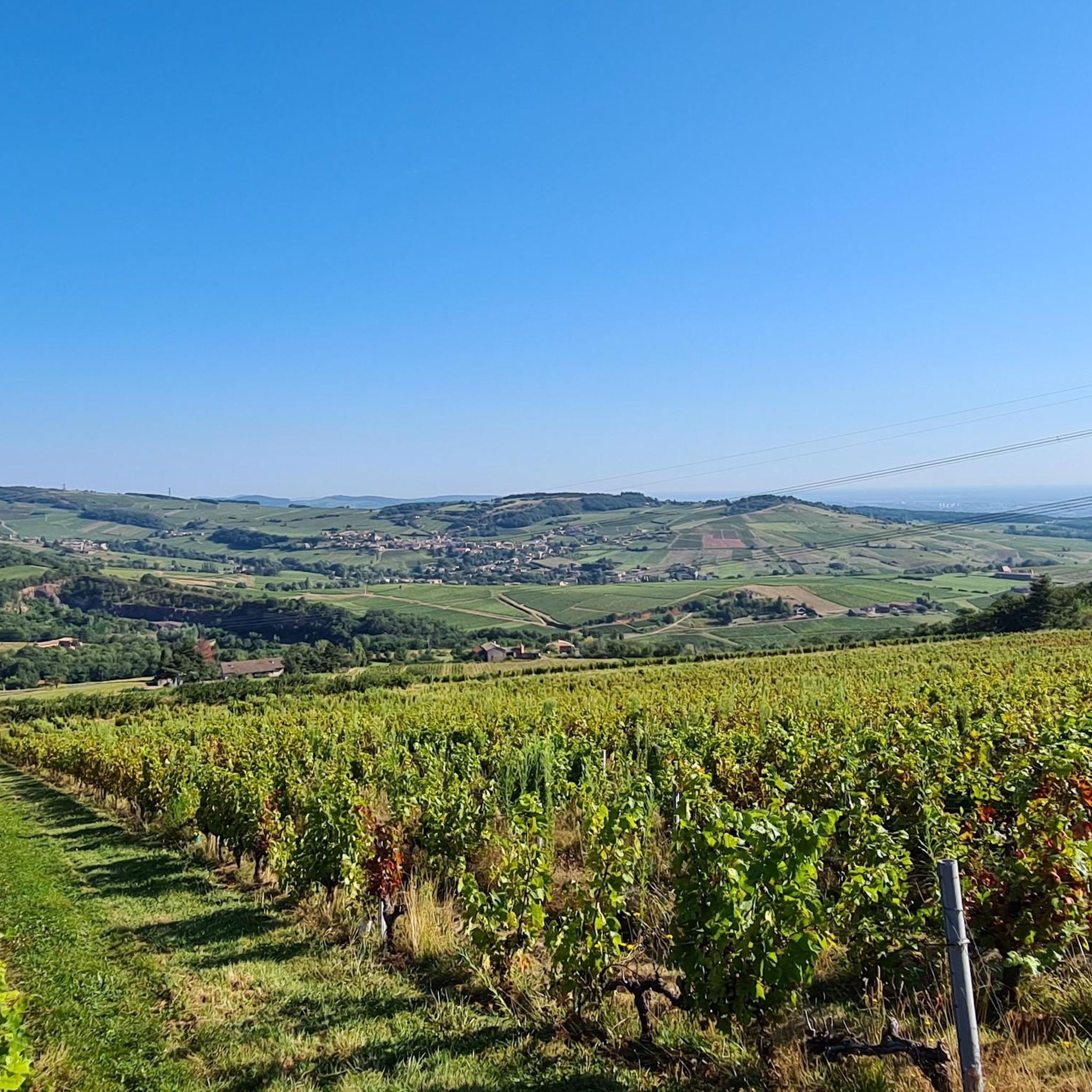
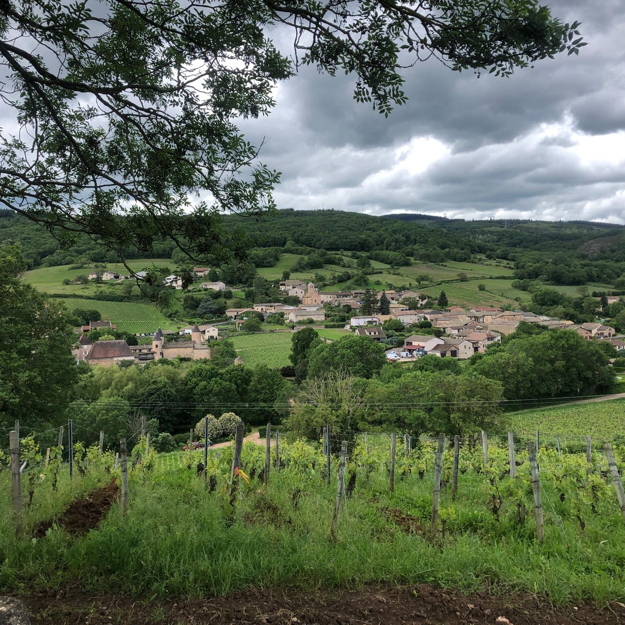
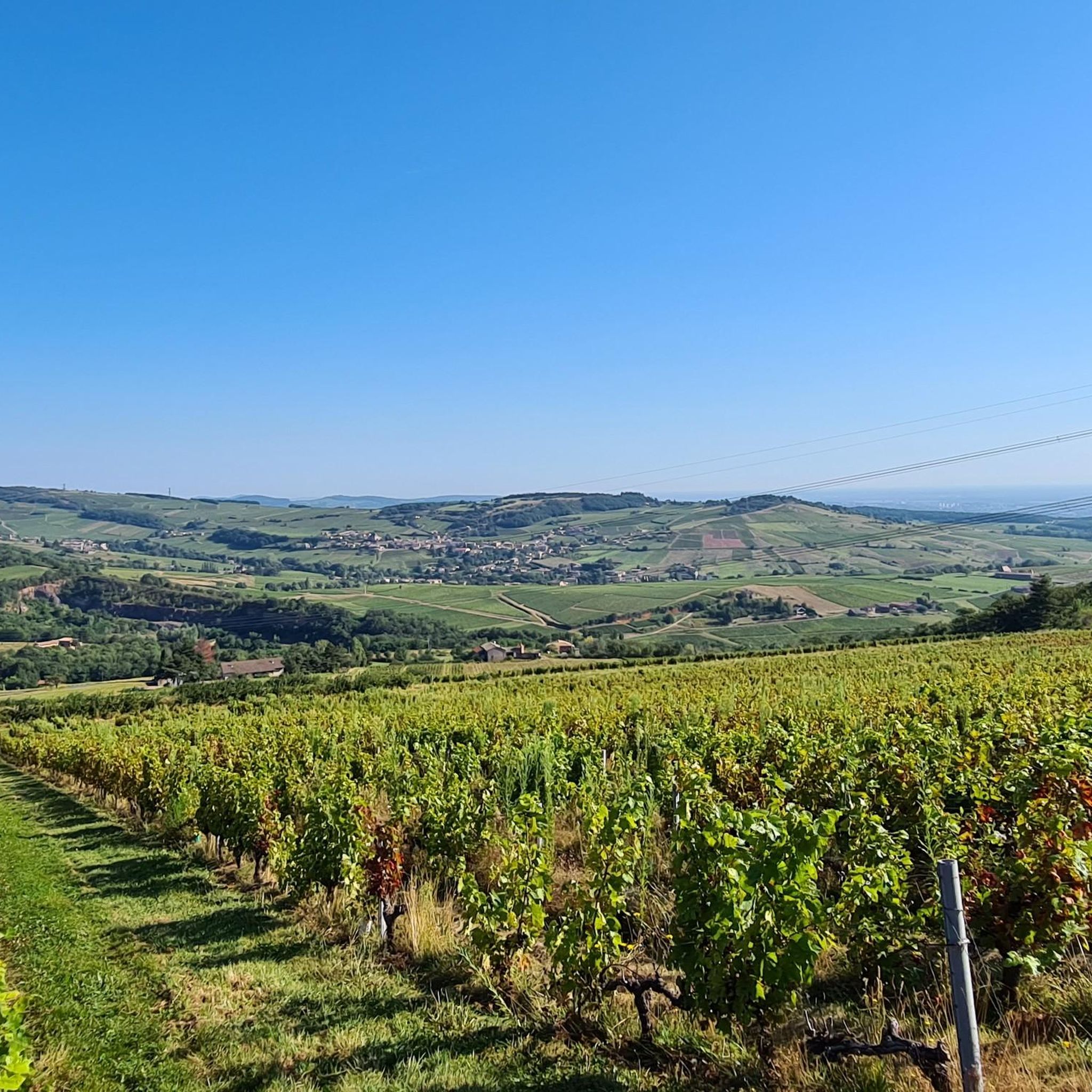
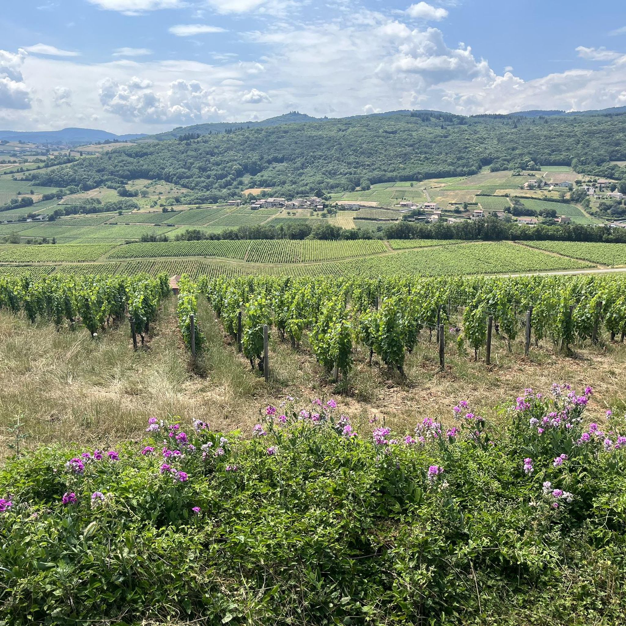
Road cycling routes around Saint-Vérand in the Rhône department traverse the Haut Beaujolais region, characterized by extensive vineyards and rolling hills. The terrain includes numerous cols and shaded forest roads, offering varied elevation changes. This area provides scenic road cycling routes through a landscape often referred to as the "Land of the Golden Stones." The Saint-Vérand Beaujolais road bike terrain features moderate to challenging elevation difficulties, with many routes including significant climbs.
Best road cycling routes around Saint-Vérand
- The most…
Last updated: May 8, 2026
4.9
(8)
76
riders
62.1km
03:14
1,010m
1,010m
Hard road ride. Very good fitness required. Mostly well-paved surfaces and easy to ride.
5.0
(4)
57
riders
55.4km
02:48
940m
940m
Hard road ride. Very good fitness required. Mostly well-paved surfaces and easy to ride.

Sign up for free
14
riders
98.2km
04:51
1,400m
1,400m
Hard road ride. Very good fitness required. Mostly well-paved surfaces and easy to ride.
5.0
(1)
10
riders
42.6km
02:16
850m
850m
Moderate road ride. Good fitness required. Mostly well-paved surfaces and easy to ride.
16
riders
Moderate road ride. Good fitness required. Mostly well-paved surfaces and easy to ride.
Get access to more routes and recommendations from other explorers.
Sign up for free
Already have an account?
Our route recommendations are based on thousands of hikes, rides, and runs completed by other people on komoot.
Start today with a free account
Your next adventure awaits.
Login or Signup

Tips from the Community

The Col du Bois Clair is a 396-meter high French mountain pass in the Massif Central. It is located in the Bourgogne-Franche-Comté region in the Saône-et-Loire department and lies within the municipality of Sologny. The pass summit is crossed by the departmental road D17. Beneath the pass runs the Tunnel du Bois Clair, a former railway tunnel. At 1.6 kilometers long, it is the longest tunnel in France accessible to bicycles. Today it serves as part of the Voie Verte cycle path, but is closed from October to April to protect hibernating bats.
0
0

Chapel built after a mildew epidemic that ravaged crops. It was built to protect the site. Explanatory panels on site
0
0

Nice village with beautiful coastline 😅
0
0


Bring a light jacket; it can get cold inside. For those with vision problems, don't be afraid; the lighting isn't too bright.
0
0


Magnificent view after a nice, not very technical descent
0
0
Frequently Asked Questions
What kind of terrain can I expect when road cycling around Saint-Vérand?
Road cycling around Saint-Vérand, located in the Haut Beaujolais region, is characterized by extensive vineyards and rolling hills. You'll encounter numerous cols and shaded forest roads, offering varied elevation changes. The landscape is often referred to as the "Land of the Golden Stones" due to its traditional villages built with unique golden-hued limestone.
How many road cycling routes are available in the Saint-Vérand area?
There are over 260 road cycling routes around Saint-Vérand available on komoot. These routes cater to various skill levels, from moderate rides to challenging climbs, ensuring options for every cyclist.
Are there any easy or family-friendly road cycling routes in Saint-Vérand?
Yes, Saint-Vérand offers 35 easy road cycling routes. While the region is known for its rolling hills and climbs, there are options suitable for those seeking a more gentle experience, often winding through vineyards and past charming villages.
What are some challenging road cycling routes for experienced cyclists?
For experienced cyclists, Saint-Vérand offers 90 difficult routes with significant climbs. A challenging option is the Col de la Sibérie, 638 m – Col de Gerbet loop from Crêches-sur-Saône, which covers nearly 100 km with over 1,400 meters of elevation gain.
What do other road cyclists say about the routes in Saint-Vérand?
The road cycling routes in Saint-Vérand are highly rated by the komoot community, with an average score of 4.4 stars from over 150 reviews. More than 4,000 road cyclists have explored the varied terrain, often praising the scenic vineyard landscapes and challenging climbs.
Are there any circular road cycling routes around Saint-Vérand?
Many of the road cycling routes in Saint-Vérand are designed as loops, allowing you to start and finish in the same location. For example, the West side of Mont Brouilly – Ascent to Mont Brouilly loop from Crêches-sur-Saône is a popular circular route that takes you through vineyard landscapes and includes climbs around Mont Brouilly.
What are the best times of year for road cycling in Saint-Vérand?
The Haut Beaujolais region, where Saint-Vérand is located, offers pleasant cycling conditions from spring through autumn. The routes are often shaded, which can be a benefit during warmer months. Spring and early autumn provide comfortable temperatures and beautiful scenery, especially during the grape harvest season in the vineyards.
What natural features or landmarks can I see along the road cycling routes?
As you cycle, you'll pass through vast vineyards, rolling hills, and forested areas. Notable natural landmarks nearby include Roche de Solutré and Vergisson Rock. You can also enjoy panoramic views, such as the View of Mâcon and the Saône from the François Mitterand bridge.
Are there specific mountain passes to conquer in the Saint-Vérand area?
Yes, the region is known for its numerous cols. Cyclists can challenge themselves on passes like Col de la Sibérie, 638 m, Col de la Grange du Bois, and Col du Fût d'Avenas. These passes offer rewarding climbs and often stunning views of the surrounding Beaujolais landscape.
Can I cycle through vineyards in Saint-Vérand?
Absolutely. The Haut Beaujolais region is famous for its wine production, and many road cycling routes wind directly through the picturesque vineyards. You'll experience routes that pass through renowned wine-producing villages, offering a unique blend of cycling and local culture.
What is the elevation gain like on a typical road cycling route in Saint-Vérand?
The elevation gain varies significantly depending on the route's difficulty. Moderate routes might feature around 850 meters of ascent, such as the Carcan Pass – Col de Gerbet loop from Juliénas. More difficult routes, like the Col de la Sibérie, 638 m – Col de Gerbet loop from Juliénas, can involve over 1,100 meters of climbing.
Most popular routes around Saint-Vérand
Most popular attractions around Saint-Vérand

Get inspired with the komoot mobile app


Explore more
Browse the best Road cycling routes in other regions.
