The best walks and hikes around Montréal-Les-Sources
4.4
(591)
3,228
hikers
143
hikes
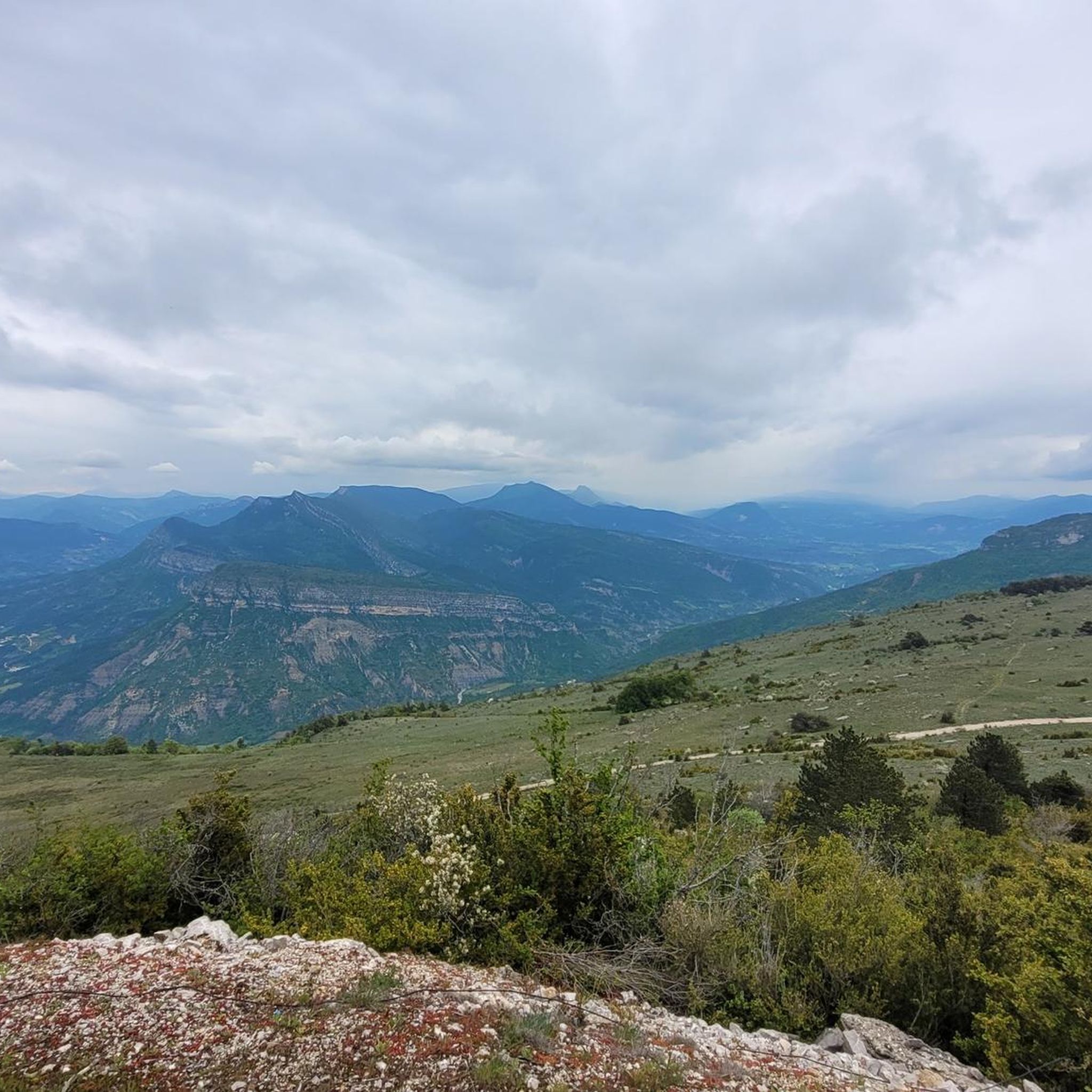
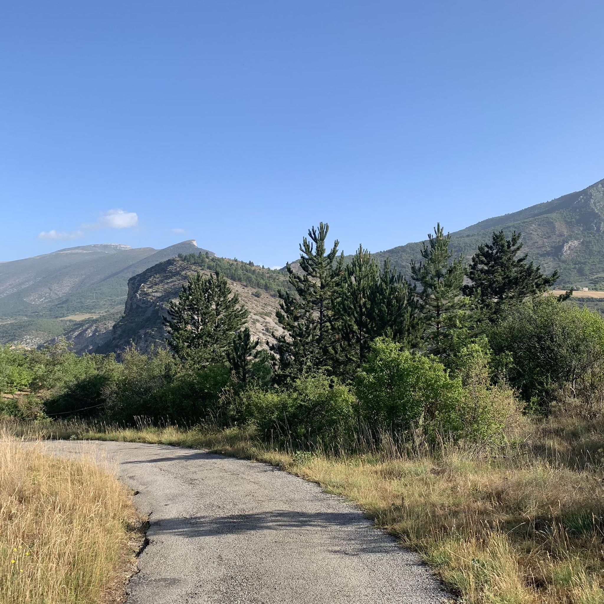
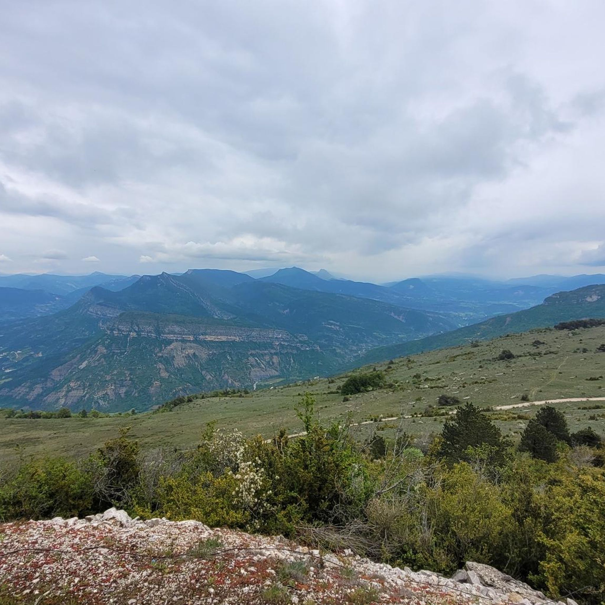
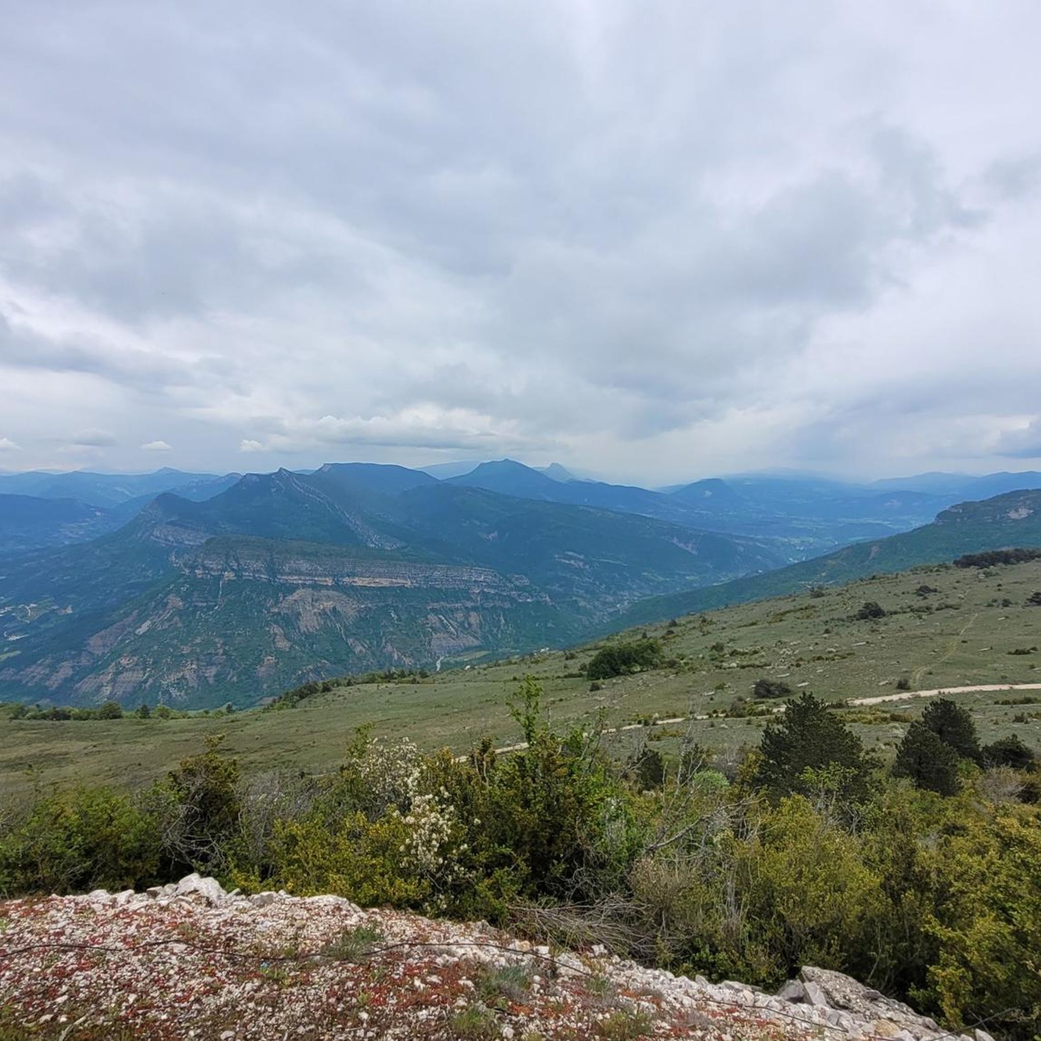
Hiking around Montréal-les-Sources offers exploration of a tranquil region in Drôme Provençale, characterized by a blend of low and middle mountains. The landscape features the Eygues Valley, prominent peaks like Mont Angèle, and notable rock formations such as Rocher de Bramard. Streams like Saint-Julien and Merderie flow through the area, which also includes canyons, gorges, and agricultural terraces with cherry orchards and lavender fields. This diverse terrain provides varied hiking opportunities.
Best hiking trails around Montréal-les-Sources
- The most popular hiking route is View of Le Léoux – Village de Saint May loop from Saint-May, a 5.9 miles (9.5 km) moderate trail that takes 3 hours 13 minutes to complete. This route offers views of the Eygues Valley and surrounding hills.
- Another top favourite among local hikers is Viewpoint Le Poët-Sigillat – View of Arpavon loop from Le Poët-Sigillat, a moderate 7.6 miles (12.3 km) path. It provides expansive views of the Drôme Provençale landscape and nearby valleys.
- Local hikers also love the View of Le Léoux – Col de Pensier loop from Saint-May, a 9.3 miles (14.9 km) trail leading through varied terrain with significant elevation gain, often completed in about 5 hours 2 minutes.
- Hiking around Montréal-les-Sources is defined by low and middle mountains, the Eygues Valley, and agricultural terraces. The network offers options for different ability levels, from accessible paths to more challenging treks.
- The routes in Montréal-les-Sources are highly rated by the komoot community with an average score of 4.4 stars from over 500 reviews. More than 3000 hikers have used komoot to explore Montréal-les-Sources's varied terrain.
Last updated: May 12, 2026
4.7
(19)
92
hikers
9.52km
03:13
470m
470m
Moderate hike. Good fitness required. Easily-accessible paths. Suitable for all skill levels.
4.9
(23)
93
hikers
12.4km
03:45
340m
340m
Moderate hike. Good fitness required. Mostly accessible paths. Sure-footedness required.

Sign up for free
5.0
(5)
16
hikers
14.9km
05:02
740m
740m
Hard hike. Very good fitness required. Easily-accessible paths. Suitable for all skill levels.
4.4
(5)
17
hikers
13.6km
04:18
530m
530m
Moderate hike. Good fitness required. Easily-accessible paths. Suitable for all skill levels.
4.5
(2)
15
hikers
4.49km
01:25
180m
180m
Easy hike. Great for any fitness level. Easily-accessible paths. Suitable for all skill levels.
Get access to more routes and recommendations from other explorers.
Sign up for free
Already have an account?
Our route recommendations are based on thousands of hikes, rides, and runs completed by other people on komoot.
Start today with a free account
Your next adventure awaits.
Login or Signup

Tips from the Community

splendid view over the surroundings and particularly over the Ennuyé valley
0
0

Magnificent view of the valley.
0
0
Very pleasant trails and often in the shade.
0
0
Very beautiful hike with ridge trails. Be careful, the descent on the way back is very steep.
0
0

Old graves. An atmospheric, melancholic place.
1
0

..a beautiful mountain that guarantees a "solitary climb" by bike, especially from Remuzat on weekdays! ..the beautiful view is free!
1
0
There is drinking water at the washhouse in the village in front of the church. NOTE: The small fountain just before the village sign is not a drinking water fountain.
2
0

From the trail, enjoy a breathtaking view of the fortified medieval village of Arpavon. It formerly served as a defensive rampart and belonged to the barons of Mévouillon.
0
0
Frequently Asked Questions
How many hiking trails are available around Montréal-les-Sources?
There are over 140 hiking trails around Montréal-les-Sources, offering a wide range of options for different fitness levels. You'll find a mix of easy paths, moderate treks, and more challenging routes through the region's varied landscapes.
What kind of terrain can I expect on hikes in Montréal-les-Sources?
The terrain around Montréal-les-Sources is diverse, featuring a blend of low and middle mountains. You can expect to encounter the verdant slopes of the Eygues Valley, agricultural terraces with cherry orchards and lavender fields, and natural monuments like canyons and gorges. Some trails also lead through wooded areas such as the Bois du Seigneur.
Are there any easy hiking routes suitable for beginners in Montréal-les-Sources?
Yes, Montréal-les-Sources offers several easy hiking routes perfect for beginners or those looking for a relaxed walk. For example, the Hiking loop from Le Poët-Sigillat is an easy 4.5 km path that takes just over an hour to complete, with minimal elevation gain.
What natural landmarks or viewpoints can I see while hiking in the area?
Hikers can discover several notable natural landmarks and viewpoints. You'll find impressive rock formations like the Sphinx-shaped Rocher de Bramard, visible to the east of Mont Angèle. The region also features stunning canyons such as the Gorges de Trente-Pas and the Gorges de l’Eygues. Don't miss the Rocher du Caire, a cliff overlooking Rémuzat, known for vulture sightings.
Are there any circular walks available in Montréal-les-Sources?
Yes, many of the trails around Montréal-les-Sources are designed as circular loops, allowing you to start and end at the same point. An example is the Viewpoint Le Poët-Sigillat – View of Arpavon loop from Le Poët-Sigillat, a moderate 12.3 km route offering expansive views of the Drôme Provençale landscape.
What is the best time of year to go hiking in Montréal-les-Sources?
Montréal-les-Sources, benefiting from a Mediterranean climate, is generally pleasant for hiking from spring to autumn. Spring offers vibrant alpine flora, while autumn provides comfortable temperatures and beautiful colors. Summer can be warm, but the presence of streams like Saint-Julien and Merderie, and the village's 'sources' (springs), can offer refreshing moments.
Are there any family-friendly hiking options in Montréal-les-Sources?
Yes, the region offers paths suitable for families. The 'Following the Traces of the Springs' loop, for instance, is a refreshing walk on the heights above Montréal-les-Sources, about 4.17 km long and taking approximately 1 hour 15 minutes. It features cherry orchards and springs, providing impressive views of the Eygues Valley, making it a great option for families.
What do other hikers enjoy most about hiking in Montréal-les-Sources?
The area is highly rated by the komoot community, with an average score of 4.4 stars from over 500 reviews. Hikers often praise the diverse landscapes, from low mountains and the Eygues Valley to picturesque agricultural terraces. The variety of trails, catering to different ability levels, is also frequently highlighted.
Are there any cultural or historical sites to see along the trails?
Beyond the natural beauty, you can encounter cultural heritage. The rural Romanesque Chapel of Saint-Julien and the Nayses fountain are notable sites. The village itself, Montréal-les-Sources, is named for its captured and channeled springs, which supply the village and its fountains, reflecting a long history of water management.
Are there any challenging hikes for experienced trekkers?
Yes, experienced trekkers will find more challenging routes with significant elevation gain. The View of Le Léoux – Col de Pensier loop from Saint-May is a difficult 14.9 km trail with over 740 meters of ascent, typically completed in about 5 hours, offering varied terrain and rewarding views.
Can I find trails that offer views of Mont Angèle?
Yes, Mont Angèle, culminating at 1606 meters, forms an impressive mountainous backdrop to the region. Many trails in the area will offer views of this prominent peak, contributing to the magnificent landscapes you'll experience while hiking.
Most popular routes around Montréal-Les-Sources
Most popular attractions around Montréal-Les-Sources

Get inspired with the komoot mobile app


Explore more
Browse the best Hikes in other regions.
