The best MTB trails around Olette
4.4
(285)
1,737
riders
70
rides
Mountain biking around Olette, located in the Pyrénées-Orientales region of France, offers diverse terrain within the Pyrenees mountain range. The landscape transitions from lower elevations to high mountain environments, providing varied scenery and challenging routes. This area is characterized by mountainous terrain, extensive forests, and significant elevation changes, making it suitable for experienced riders. The region's natural features provide a rugged backdrop for outdoor activities.
Best mountain bike trails around Olette
- The most popular mountain bike trail is Old Signal…
Last updated: October 5, 2026
4.5
(8)
33
riders
21.1km
02:07
710m
710m
Moderate mountain bike ride. Good fitness required. Suitable for all skill levels.
5.0
(5)
34
riders
39.9km
04:13
1,370m
1,370m
Hard mountain bike ride. Very good fitness required. Suitable for all skill levels.

3.8
(4)
21
riders
49.4km
05:33
1,810m
1,810m
Hard mountain bike ride. Very good fitness required. Suitable for all skill levels.
5.0
(2)
12
riders
7.04km
00:36
80m
80m
Easy mountain bike ride. Great for any fitness level. Suitable for all skill levels.
4.8
(5)
19
riders
Hard mountain bike ride. Very good fitness required. Suitable for all skill levels.
Get access to more routes and recommendations from other explorers.
Already have an account?
Our route recommendations are based on thousands of hikes, rides, and runs completed by other people on komoot.
Start today with a free account
Your next adventure awaits.

Tips from the Community

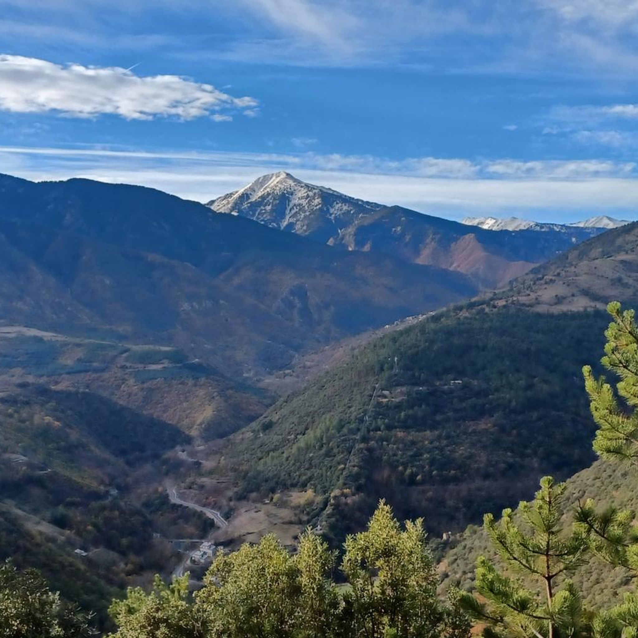
The Puyvalador dam is 160 meters long and 39 meters high. This concrete structure is used to regulate the waters of the Aude river to produce electricity. From the dam, the view is exceptional.
0
0

A truly magnificent view, just past the refuge. The horse stayed put for a moment for the photo 😀 .
13
0
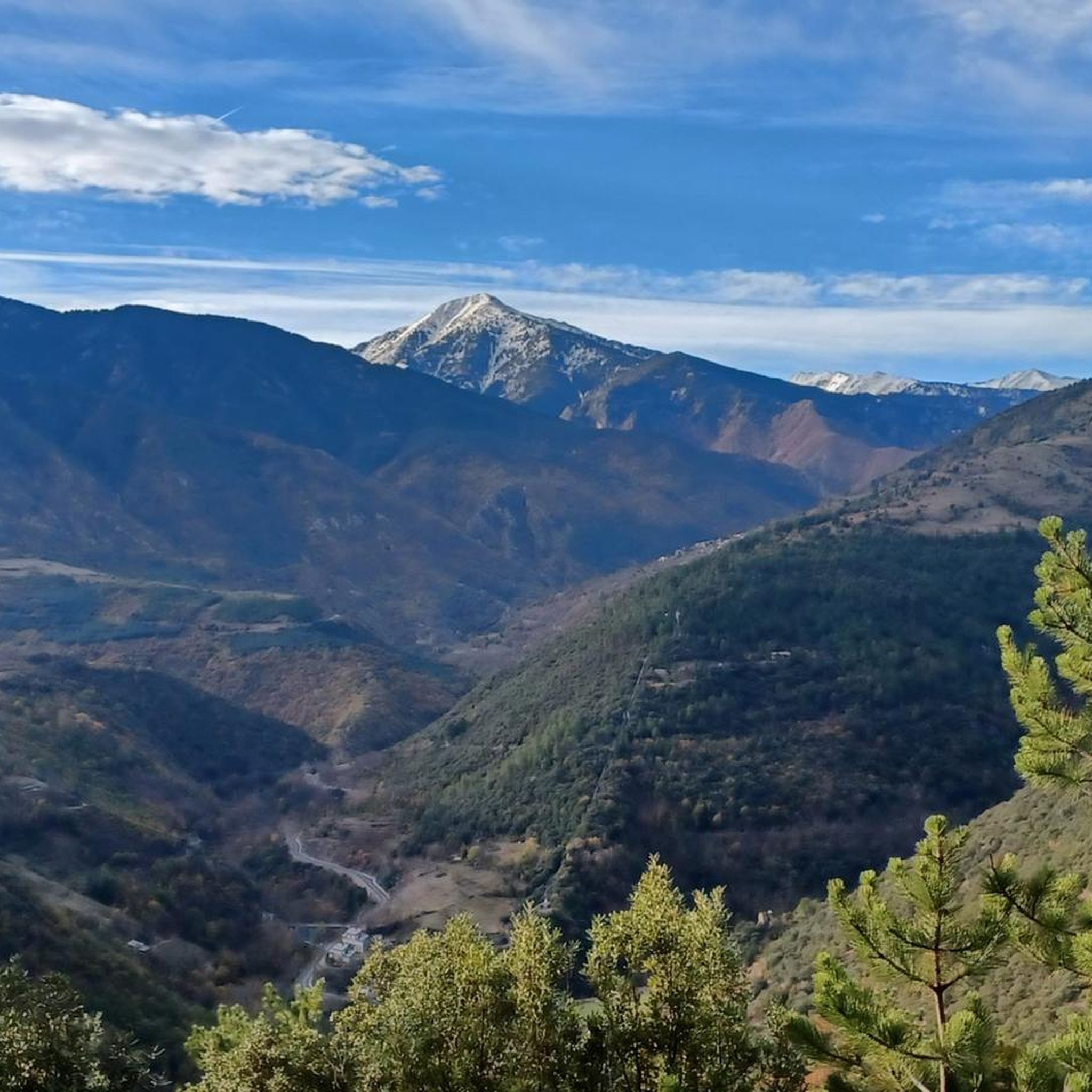
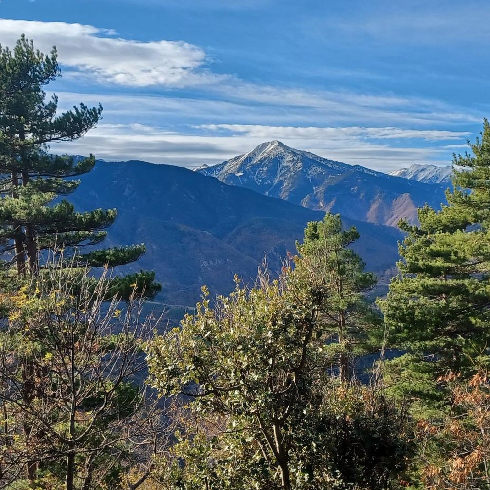
The summit is 2150 metres high, with beautiful views.
13
0
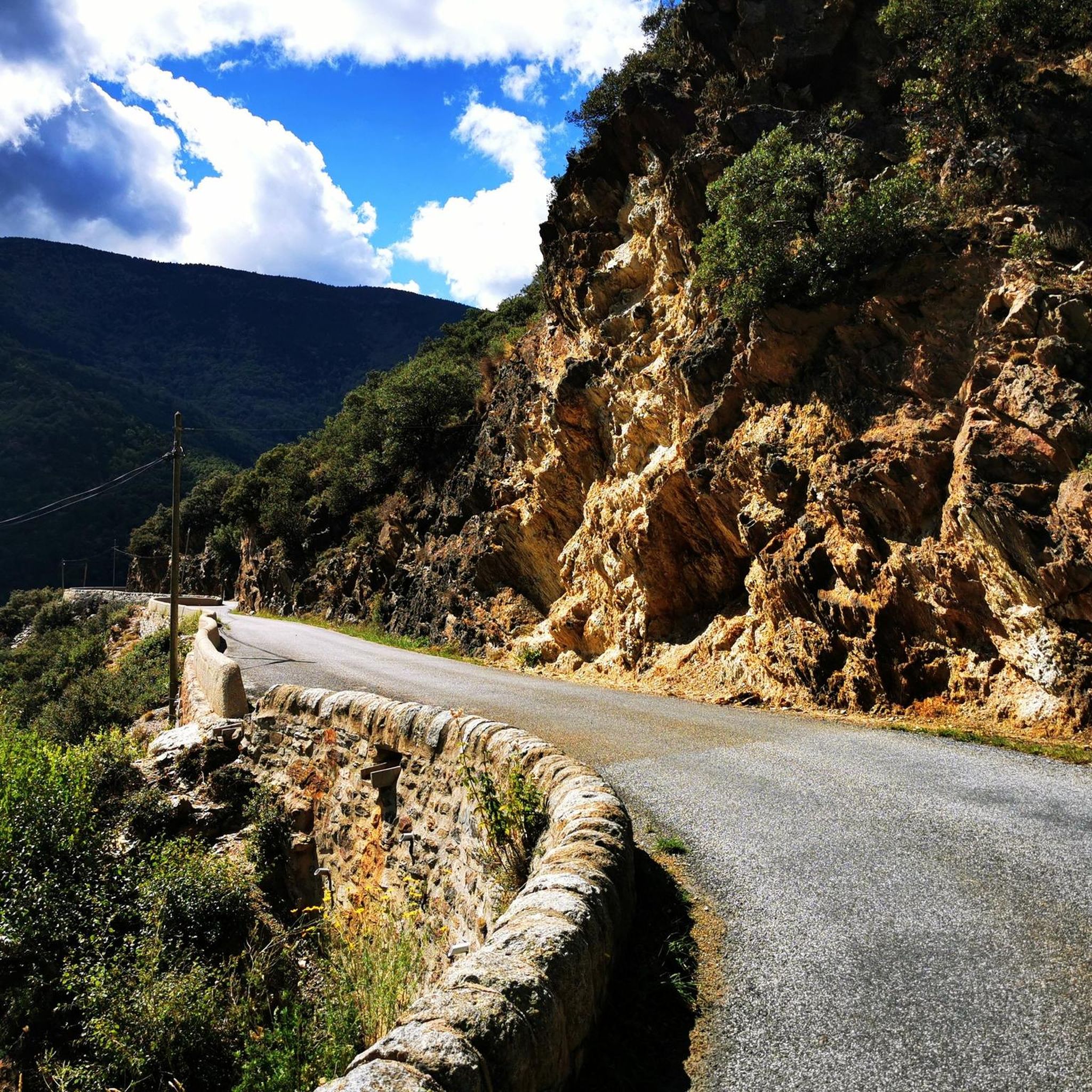
A beautiful, easily navigable path through the dense forest. Above about 1600 meters, the path becomes more stony.
13
0
information about routes that are and are not open
11
0
Vernet-les-Bains is both a spa town and a green resort. From the old village to the spa district and the many hiking trails that dot the Vernet-les-Bains area, it is a place of relaxation and tradition.
16
0
beautiful mountain village with a market every day, according to the sign in the center.
18
0
There are not many traces of the mining left, but still impressive, down at Sahorre there is a mining museum.
0
0
Frequently Asked Questions
How many mountain bike trails are available around Olette?
There are over 60 mountain bike trails around Olette, offering a wide range of options for different skill levels. The routes are highly rated by the komoot community, with an average score of 4.6 stars.
What kind of terrain can I expect on mountain bike trails in Olette?
The terrain around Olette is diverse, transitioning from lower elevations to high mountain environments within the Pyrenees. You'll encounter mountainous landscapes, extensive forests, and significant elevation changes, providing a challenging and varied experience suitable for experienced riders.
Are there mountain bike trails suitable for beginners or families in Olette?
While many routes in Olette are challenging, there are options for different ability levels, including easy and moderate routes. Out of the over 60 trails, 8 are classified as easy and 29 as moderate, making it possible to find suitable paths for less experienced riders or families.
What are some notable natural features or landmarks I can see while mountain biking near Olette?
The region offers dramatic backdrops with rugged, mountainous terrain and varied ecosystems. You can explore natural features like the Carança Corniche, the impressive Footbridges of the Carançà Gorge, and the beautiful Saint-Vincent Waterfall. Many routes also pass through significant forests.
Are there any circular mountain bike routes around Olette?
Yes, many of the mountain bike routes around Olette are designed as loops. For example, the Old Signal Tower – Lake Calvet loop from Ayguatébia-Talau is a difficult 32.1-mile (51.7 km) route, and the Coll de Portus (1736 m) – Saint-André d'Évol Church loop from Olette - Canaveilles-les-Bains offers panoramic views over 15.7 miles (25.2 km).
What is the best time of year for mountain biking in Olette?
The Pyrénées-Orientales region, where Olette is located, offers diverse conditions. While specific seasonal advice isn't provided, the mountainous environment suggests that spring through autumn would generally be ideal, avoiding winter snows at higher elevations. Always check local weather conditions before heading out.
Are there any challenging mountain bike trails for experienced riders?
Absolutely. Olette is known for its challenging routes with significant elevation gain. For instance, the Clot Lake loop from Hameau de Betllans is a difficult 25.7-mile (25.7 km) route with nearly 1000 meters of ascent. Another demanding option is the Col de la Llose – Col de la Creu loop from Sansa, covering 43.3 miles (43.3 km) with over 1100 meters of climbing.
What do other mountain bikers say about the trails in Olette?
The mountain bike trails in Olette are highly regarded by the komoot community, boasting an average rating of 4.6 stars from over 200 reviews. Users often praise the varied terrain, the challenging climbs, and the stunning mountainous landscapes of the Pyrenees.
Are there any mountain passes accessible by mountain bike near Olette?
Yes, the region features several notable mountain passes. You can ride to the Col de la Llose, Jou Pass, or Col de la Creu, among others. These passes often offer rewarding views and challenging ascents.
Is public transport available to access mountain bike trails around Olette?
While specific public transport links directly to trailheads are not detailed, Olette's location within the Pyrénées-Orientales region suggests that regional transport options might connect to some areas. For precise access, it's advisable to check local bus or train schedules for connections to villages near your chosen starting points.
Are there any specific viewpoints along the mountain bike trails in Olette?
Many trails in Olette offer panoramic views due to the mountainous terrain and significant elevation changes. Routes climbing to high mountain passes, such as the Coll de Portus (1736 m) – Saint-André d'Évol Church loop from Olette - Canaveilles-les-Bains, are particularly known for their expansive vistas of the surrounding Pyrenees.
Most popular attractions around Olette

Get inspired with the komoot mobile app


Explore more
Browse the best MTB trails in other regions.
