The best running trails around Bonnevaux
4.6
(83)
1,013
runners
113
runs
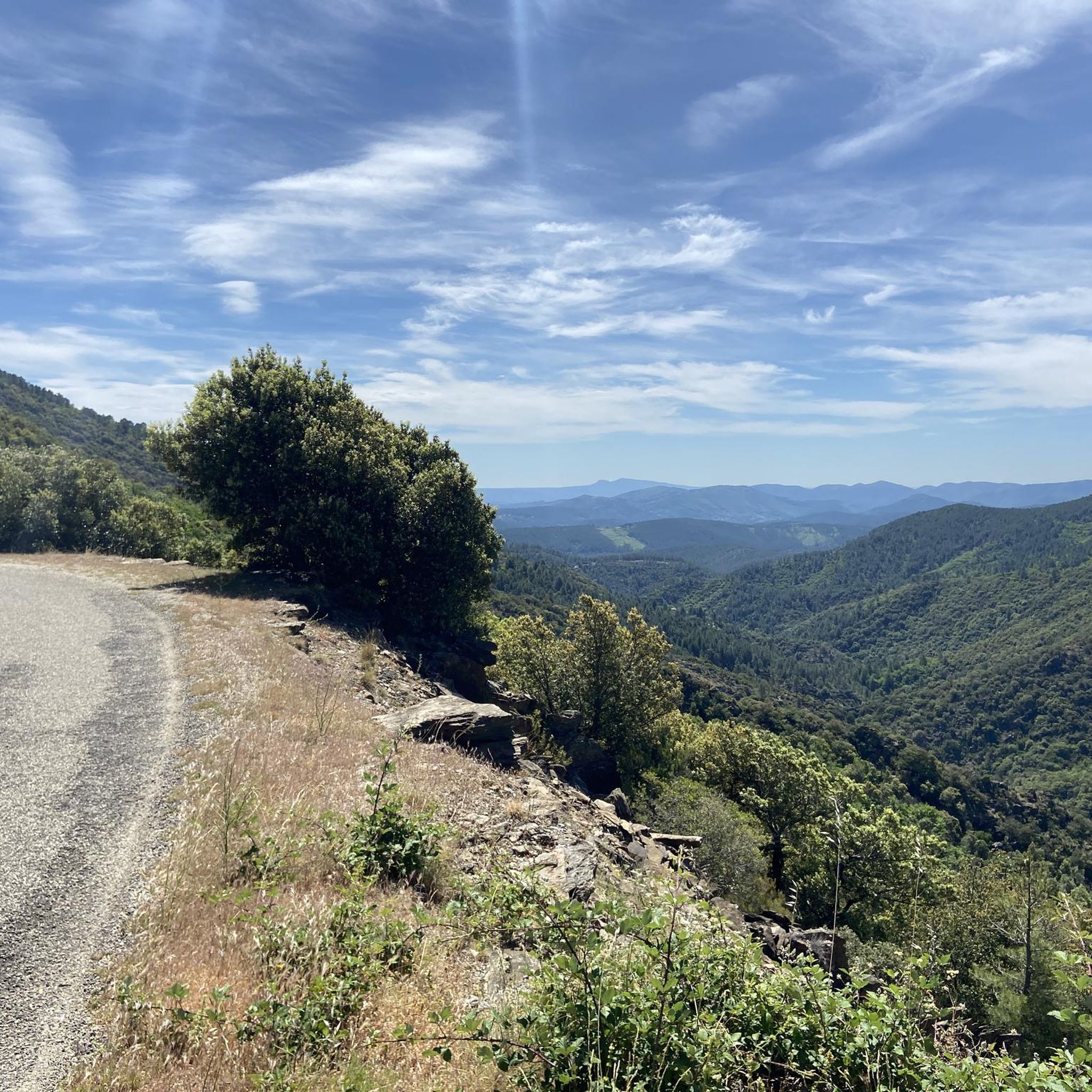
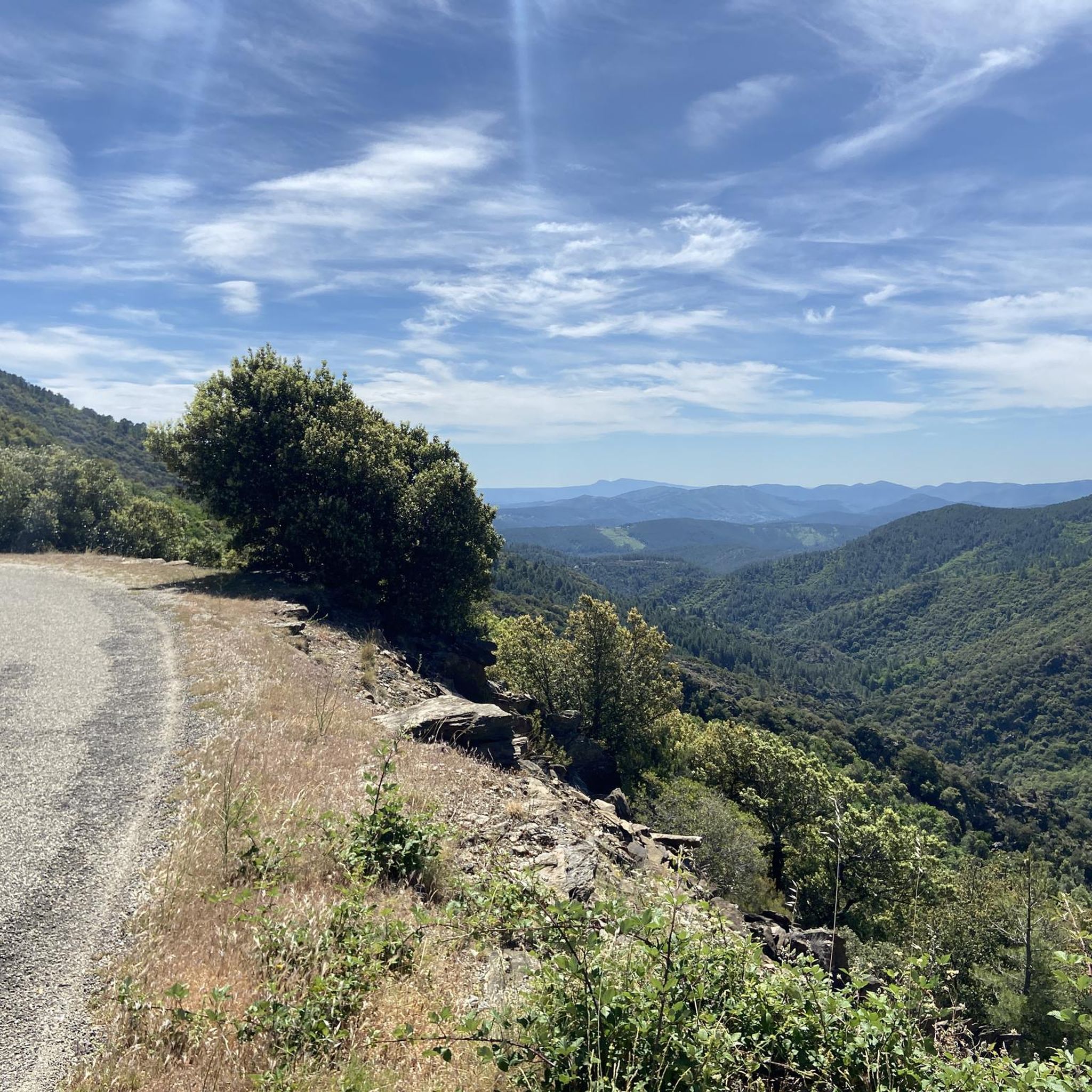
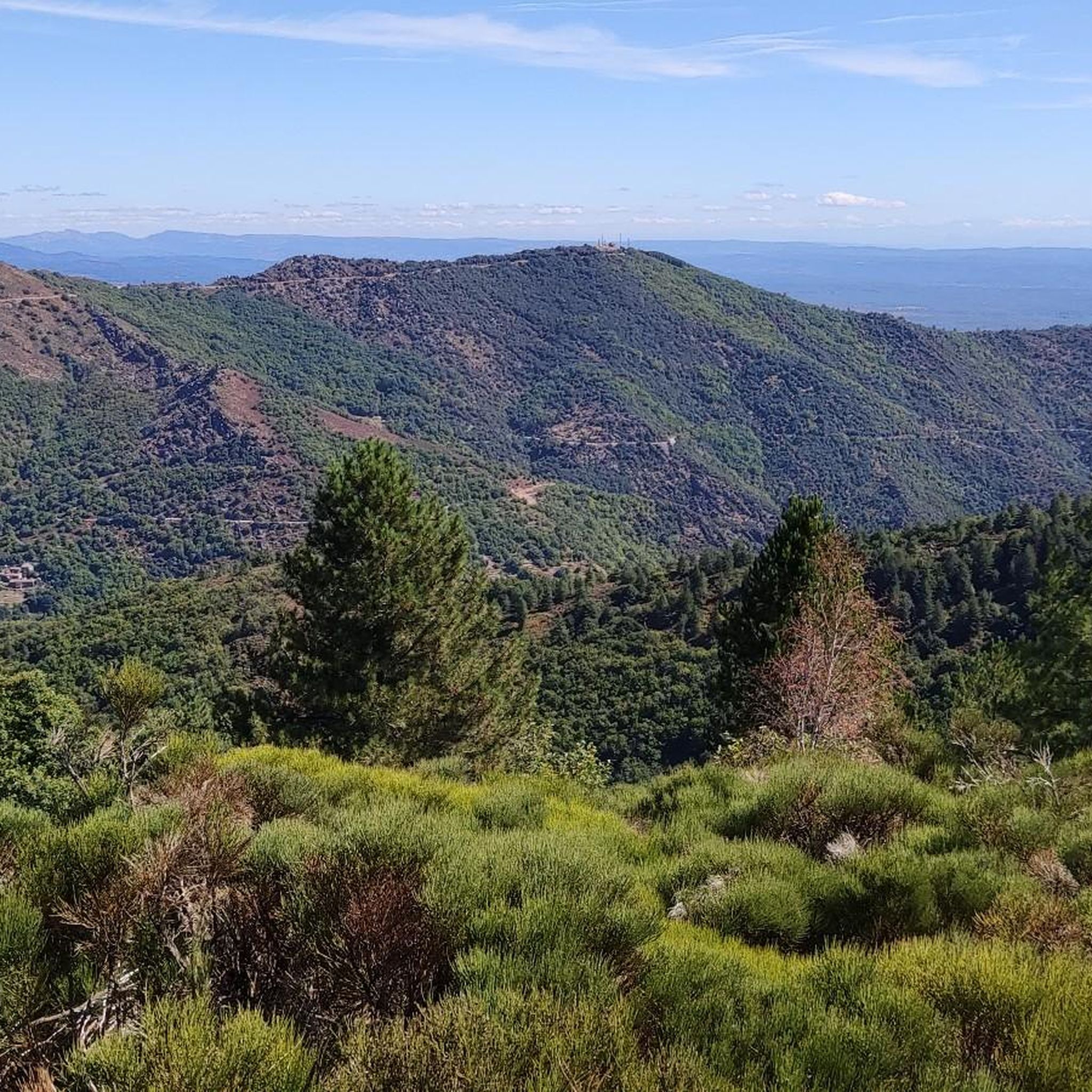
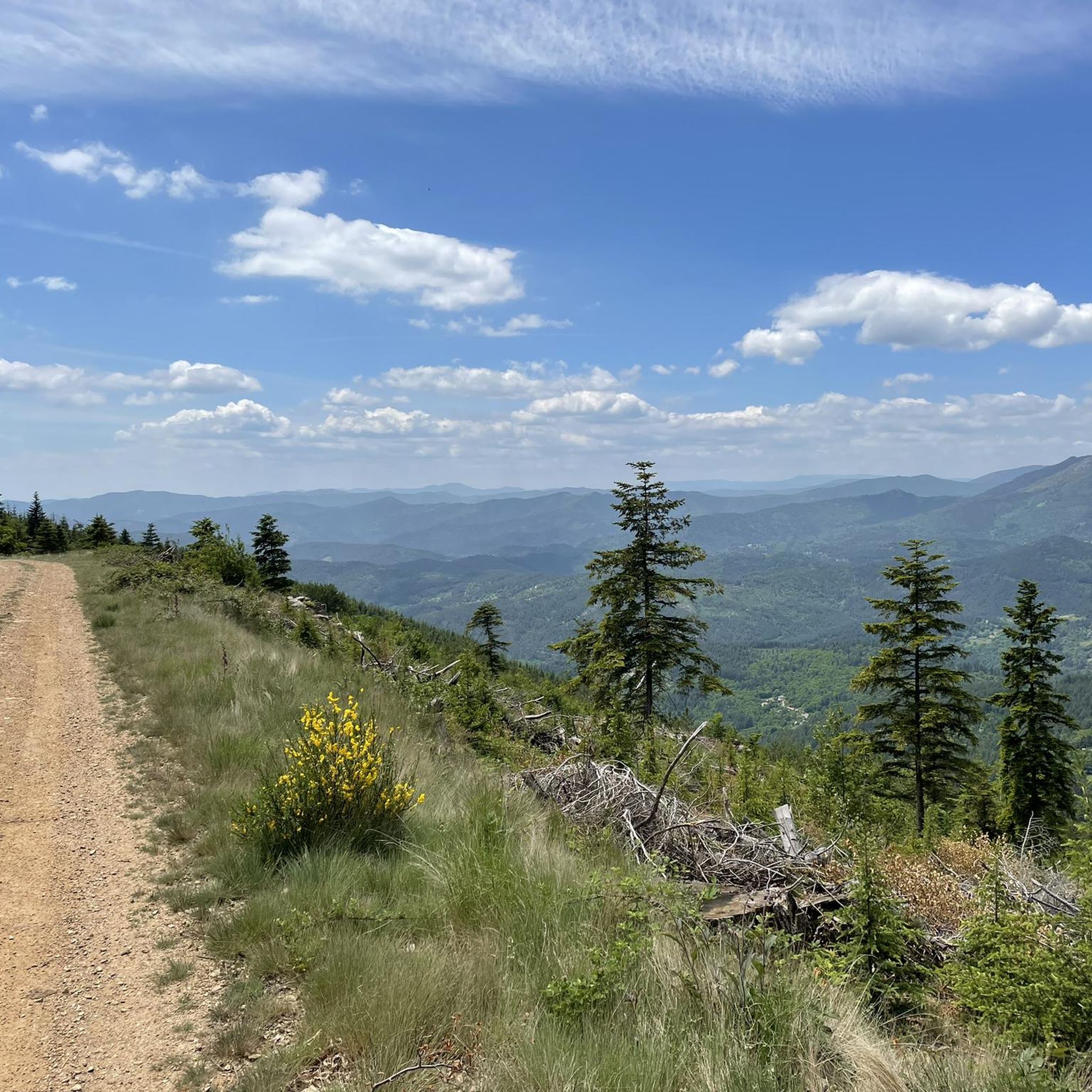
Jogging routes around Bonnevaux offer a diverse range of landscapes, from river valleys to mountainous terrain. The region features a mix of dense woodlands, open pastures, and significant elevation changes, providing varied running experiences. Runners can explore trails alongside rivers like the Chassezac, or challenge themselves on paths leading through the Cévennes mountains. This area is characterized by its natural beauty and extensive network of paths suitable for running.
Best jogging routes around Bonnevaux
- The most popular jogging route is…
Last updated: July 22, 2026
8
runners
4.36km
00:40
210m
210m
Hard run. Good fitness required. Sure-footedness, sturdy shoes and alpine experience required.
8
runners
8.38km
01:13
430m
430m
Hard run. Very good fitness required. Sure-footedness, sturdy shoes and alpine experience required.

Sign up for free
4
runners
6.36km
00:43
100m
100m
Moderate run. Good fitness required. Mostly paved surfaces. Suitable for all skill levels.
5.0
(1)
5
runners
7.51km
00:54
190m
190m
Moderate run. Good fitness required. Mostly paved surfaces. Suitable for all skill levels.
6
runners
10.2km
01:22
320m
320m
Hard run. Very good fitness required. Mostly paved surfaces. Suitable for all skill levels.
Get access to more routes and recommendations from other explorers.
Sign up for free
Already have an account?
Our route recommendations are based on thousands of hikes, rides, and runs completed by other people on komoot.
Start today with a free account
Your next adventure awaits.
Login or Signup

Tips from the Community

An ancestral village, the architecture of the buildings is sublime, there is a small bar restaurant with a relaxing terrace. Next to the bar restaurant is the church, usually open with some exhibitions, the town hall, and also a water point...!
1
0

Picturesque village, directly on the GR7 hiking trail
5
0

The Doulovy viaduct is one of the three largest viaducts in the Cévennes. Built in 1876, it was once used to transport coal by train.
0
0

The small village of Brahic has the typical charm of Ardèche villages (even if it is in the Gard, on the other side of the border between the two departments). Take the time to stroll through its shady alleys traversed by stone houses whose colors range from ocher to reddish-brown.
2
1

With its 35m high and 235m long, the Doulovy viaduct is one of the largest in the Cévennes.
1
0

The surrounding paths and access to the viaduct are passable by VTC or Gravel but more accessible by mountain bike.
1
0

Pretty village of Ardèche near Les Vans
4
0
A very small village with a few ruins.
1
1
Frequently Asked Questions
What kind of terrain can I expect on running trails around Bonnevaux?
The Bonnevaux region offers a diverse range of running terrain. Depending on the specific Bonnevaux, you might encounter mountain trails with significant elevation changes, such as those in Haute-Savoie, or varied landscapes including high-altitude forests, pastures, and unique peat bogs in Doubs. Near Poitiers, you'll find serene paths through lush woodlands, meadows, and along river valleys. The area generally features a mix of dense woodlands, open pastures, and sometimes riverbanks like the Chassezac, providing varied experiences for runners.
Are there any easy or beginner-friendly running routes in Bonnevaux?
Yes, Bonnevaux offers options for all ability levels. While many routes feature significant elevation, there are easier paths available. For instance, the guide lists 6 easy routes and 57 moderate routes. A good moderate option is the Nassier Beach – Chassezac River loop from Gravières, which is 5.2 miles (8.3 km) and follows the river, offering scenic views without extreme difficulty.
What natural features or landmarks can I see while jogging in Bonnevaux?
Bonnevaux is rich in natural beauty and interesting landmarks. You can explore river valleys, dense woodlands, and mountainous paths. Specific attractions include the beautiful glacial lakes of Lac de Saint-Point and Lac de Remoray in the Doubs region, or the source of the Doubs River itself. In other Bonnevaux locations, you might encounter the Chassezac River, or even heritage sites like the Bonnevaux hydroelectric power station. The region also features various mountain passes such as Trélis Pass and Col du Pré de la Dame, and points of interest like Lac de Villefort.
Are there any circular running routes available?
Yes, many of the running routes in Bonnevaux are designed as loops, allowing you to start and finish in the same location. Examples include the popular Nassier Beach – Chassezac River loop from Gravières, the challenging Rochers de Trenze loop from Génolhac, and the Le Montadou – Cascade loop from Génolhac. These circular paths offer convenience and varied scenery.
What do other runners say about the trails in Bonnevaux?
The running routes in Bonnevaux are highly regarded by the komoot community, holding an impressive average rating of 4.6 stars from over 80 reviews. Runners often praise the diverse terrain, from river valleys to challenging mountain paths, and the natural beauty of the woodlands and open pastures. Over 950 runners have used komoot to explore the varied landscapes of Bonnevaux.
Are there running routes suitable for families in Bonnevaux?
While the guide highlights many routes with significant elevation, there are also options that could be suitable for families looking for a less strenuous run or walk. Look for routes categorized as 'easy' or 'moderate' with shorter distances. For example, the Bathing place loop from Peyremale is a moderate 6.35 km route that might be a good choice for a family outing.
What is the best time of year to go running in Bonnevaux?
The best time to go running in Bonnevaux largely depends on the specific region and your preference for weather and terrain. Generally, spring and autumn offer pleasant temperatures and beautiful scenery, with vibrant foliage or blooming wildflowers. Summer can be warm, especially in lower elevations, but higher mountain trails in areas like Haute-Savoie might offer cooler conditions. Winter running is possible, particularly in areas like Doubs with its high-altitude forests, but be prepared for colder temperatures and potentially snowy or icy conditions on some trails.
Are there running trails with parking available in Bonnevaux?
Many trailheads in Bonnevaux, especially those for popular routes, typically have designated parking areas nearby. While specific parking details for every route aren't listed, it's common for routes starting from villages or popular natural sites to have accessible parking. For example, routes like the Running loop from Gravières or those starting from Génolhac would likely have parking facilities in or near the respective starting points.
Can I reach any running trails in Bonnevaux using public transport?
Access to running trails via public transport in Bonnevaux can vary significantly depending on the specific location. In more rural areas, public transport might be limited, making a car the most convenient option. However, larger villages or towns that serve as starting points for routes may have bus services. For example, if a route starts from a village like Génolhac or Gravières, it's worth checking local bus schedules for connections. For the Bonnevaux near Poitiers, public transport to the general area is available, but direct access to specific trailheads might require further planning.
What are the difficulty levels of running routes in Bonnevaux?
The running routes in Bonnevaux cater to a wide range of difficulty levels. The guide indicates 6 easy routes, 57 moderate routes, and 28 difficult routes. You can find everything from moderate paths along river valleys, like the Nassier Beach – Chassezac River loop from Gravières, to challenging mountainous trails with significant elevation gain, such as the Rochers de Trenze loop from Génolhac, which covers 19.6 miles (31.5 km) with substantial climbing.
Are there any running routes that feature waterfalls or significant water bodies?
Yes, the Bonnevaux region offers routes with beautiful water features. The Le Montadou – Cascade loop from Génolhac specifically mentions a 'Cascade' (waterfall) in its name, indicating a route where you can expect to see one. Additionally, many routes follow rivers like the Chassezac, offering scenic views along the water, and the Doubs region boasts glacial lakes like Lac de Saint-Point and Lac de Remoray, providing picturesque backdrops for your run.
Most popular attractions around Bonnevaux

Get inspired with the komoot mobile app


Explore more
Browse the best Running Trails & Routes in other regions.
