The best running trails around Friedrichsgabekoog
4.4
(301)
4,880
runners
181
runs
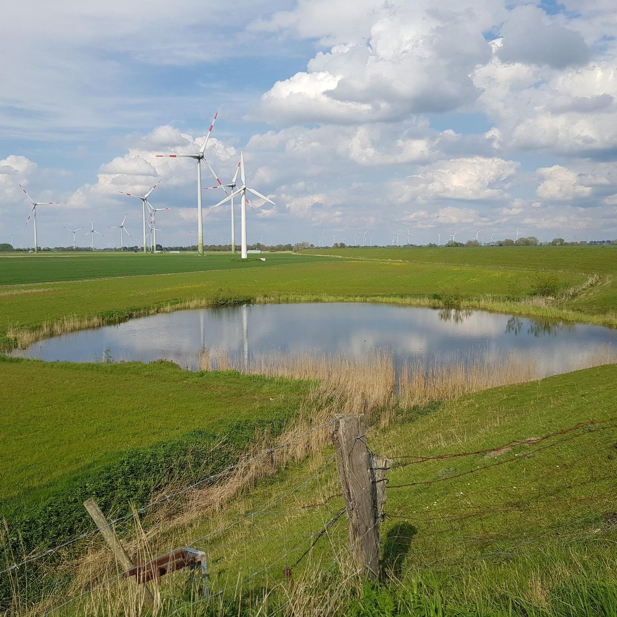
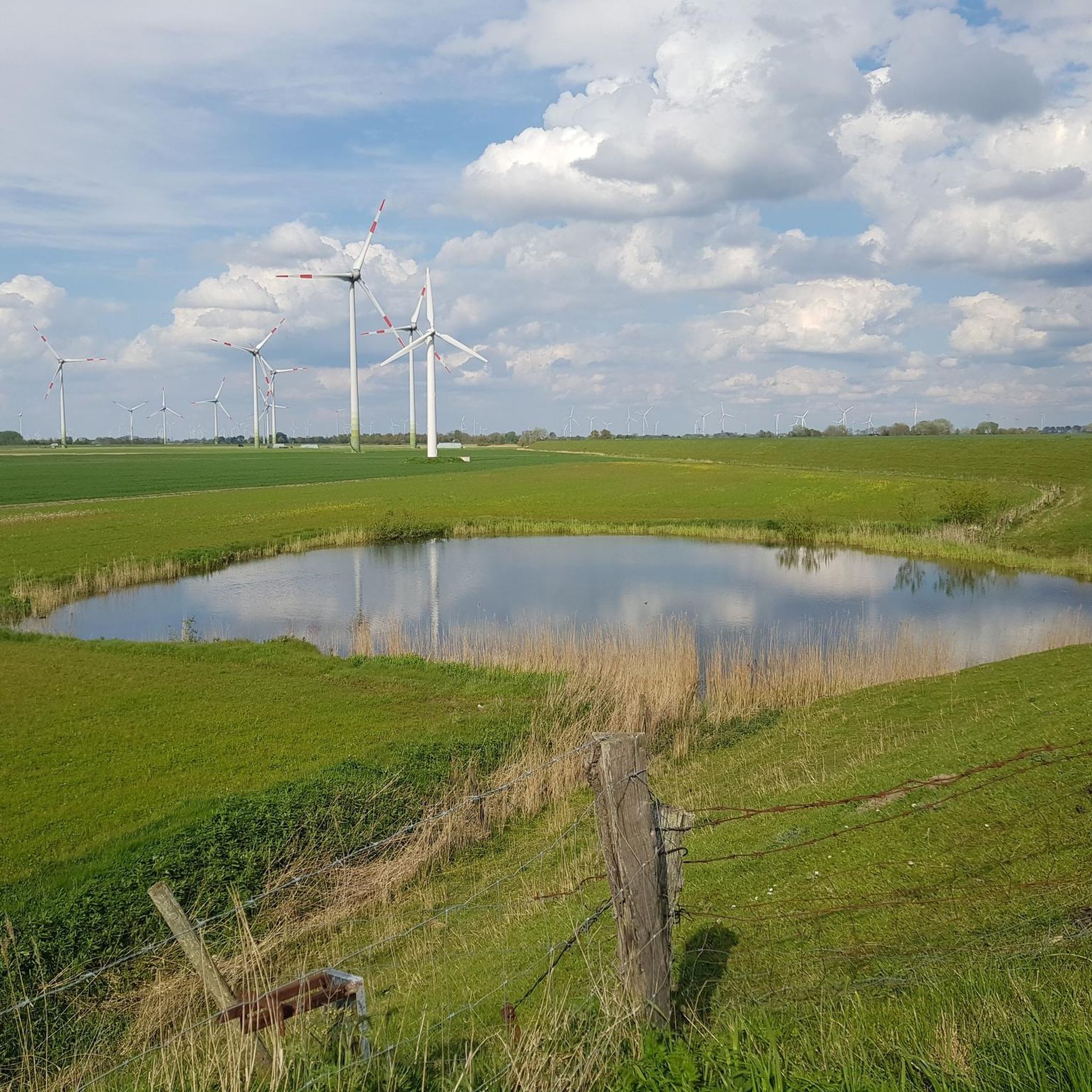
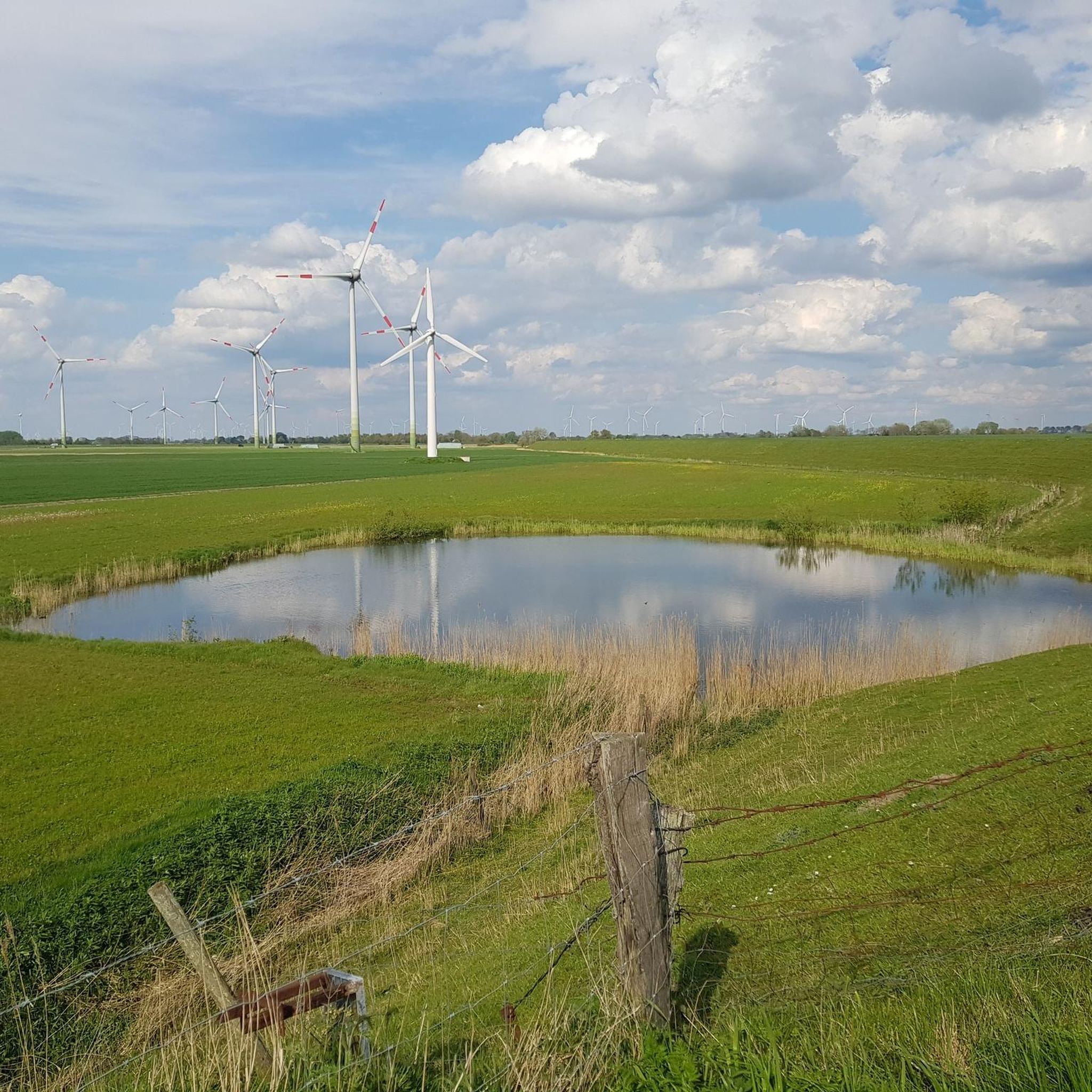
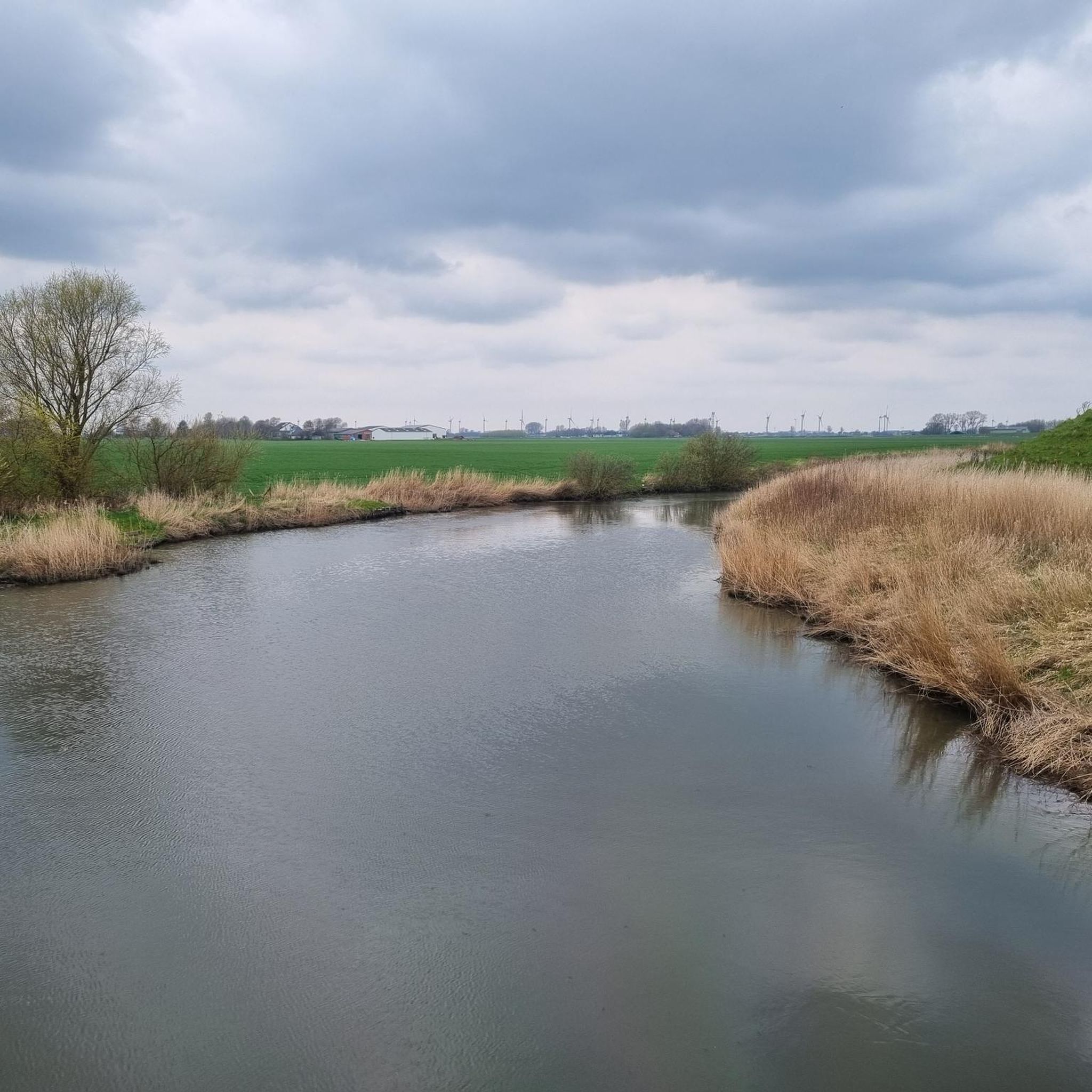
Jogging around Friedrichsgabekoog provides an invigorating experience across its distinctive landscape. The region is characterized by flat terrain, expansive fields, and the iconic dike along the Wadden Sea, offering open paths for sustained running. This agricultural setting, part of the Schleswig-Holstein Wadden Sea National Park, provides a tranquil backdrop for runners. The area's minimal elevation changes make it suitable for a wide range of abilities.
Best jogging routes around Friedrichsgabekoog
- The most popular jogging route is Büsum Fishing Harbor –…
Last updated: October 11, 2026
5.0
(1)
68
runners
Moderate run. Good fitness required. Mostly paved surfaces. Suitable for all skill levels.
15
runners
Hard run. Very good fitness required. Mostly paved surfaces. Suitable for all skill levels.

5.0
(1)
9
runners
4.86km
00:30
10m
10m
Easy run. Great for any fitness level. Mostly paved surfaces. Suitable for all skill levels.
9
runners
5.24km
00:34
0m
0m
Moderate run. Good fitness required. Mostly paved surfaces. Suitable for all skill levels.
5.0
(2)
6
runners
Moderate run. Good fitness required. Mostly paved surfaces. Suitable for all skill levels.
Get access to more routes and recommendations from other explorers.
Already have an account?
Our route recommendations are based on thousands of hikes, rides, and runs completed by other people on komoot.
Start today with a free account
Your next adventure awaits.
Tips from the Community

You get this close to departing airplanes...
0
0
Unfortunately, the tower cannot be climbed. As it is located in the middle of the city center, the crowds would probably also be too high... 😉
0
0

The lawnmowers are part of the landscape conservation
1
0
🏛️ Neocorus Monument Büsum „Neocorus“ in Büsum does not mean a building, but a historical figure and a monument in the town. Johann Adolf Köster (approx. 1550–1630) Pastor in Büsum Important chronicler of Dithmarschen Wrote an early history of the region („Chronik des Landes Dithmarschen“) So he is something like the first great historian of the area.
3
0
With its four harbour basins, the 110-year-old lighthouse, and ships of all kinds, Büsum harbour invites you for a maritime stroll. The circling and screeching of seagulls, the calls of sailors, and the splashing of harbour water against the quay walls fill the harbour with a maritime atmosphere. Here you can enjoy the peace and quiet, but also experience a lot. https://www.buesum.de/buesum-erleben/hafen
2
0
In the summer months (high season) only on foot. Cycling forbidden https://www.buesum.de/buesum-erleben/poi/familienlagune-perlebucht-buesum
3
0
Nice small sports airfield. Run by an association. From here you can start sightseeing flights. Located by a road. Easy to reach by car and bike etc. On May 1st the bistro will reopen.
2
0

The current tower was built in 1912/1913 as a leading and orientation light and has a height of 21.4 meters. [https://de.wikipedia.org/wiki/Leuchtturm_B%C3%BCsum]
0
0
Frequently Asked Questions
How many running routes are available around Friedrichsgabekoog?
There are over 180 running routes around Friedrichsgabekoog documented on komoot, offering a wide variety of options for joggers of all levels.
What is the terrain like for running in Friedrichsgabekoog?
The terrain around Friedrichsgabekoog is predominantly flat, making it ideal for sustained running. You'll find expansive fields, green pastures, and the iconic dike along the Wadden Sea, providing open paths and fresh sea air. The minimal elevation changes ensure suitability for a wide range of abilities.
Are there running routes for different fitness levels?
Yes, the area offers a good mix of routes for various fitness levels. You can find around 27 easy routes, over 140 moderate routes, and 17 more challenging options, ensuring there's something for everyone.
What do other runners enjoy most about jogging in Friedrichsgabekoog?
The running routes in Friedrichsgabekoog are highly rated by the komoot community, with an average score of 4.4 stars from over 240 reviews. Runners often praise the tranquil environment, the fresh sea air along the dike, and the picturesque views of the Wadden Sea and surrounding polder landscape.
Are there circular running routes available in the region?
Yes, many of the running routes around Friedrichsgabekoog are circular, allowing you to start and finish at the same point. An example is the Running loop from Wöhrden, which takes you through open fields.
Are there family-friendly running trails in Friedrichsgabekoog?
Given the largely flat terrain and wide paths, many routes are suitable for families. The easy routes, such as the Running loop from Wöhrden, are particularly good choices for a relaxed family run.
Can I bring my dog on the running trails?
While specific regulations can vary, many outdoor areas in Schleswig-Holstein are dog-friendly, especially on leash. It's always recommended to check local signage or specific route descriptions for any restrictions, particularly within nature reserve areas like parts of the Wadden Sea National Park.
What scenic views or landmarks can I expect to see while running?
Many routes offer stunning views of the Wadden Sea and the coastal landscape. You might also encounter landmarks such as the Büsum Lighthouse or pass by natural highlights like the Wöhrdener Loch Nature Reserve. The expansive dike itself provides an unforgettable experience with uninterrupted sea views.
Are there any less crowded running paths for a more peaceful experience?
Friedrichsgabekoog is known for its tranquil environment. While popular routes like those near Büsum can see more activity, exploring the numerous paths through the wide fields and polder landscape, such as the Heide-Büsum Airfield loop from Oesterdeichstrich, can offer a more peaceful running experience.
What is the best time of year to go running in Friedrichsgabekoog?
The region is beautiful year-round, but spring and autumn offer particularly pleasant running conditions with milder temperatures and fewer crowds. Summer can be great for enjoying the sea breeze, while winter runs can be invigorating, especially along the dike, though you should be prepared for colder, potentially windy weather.
Are there running routes that include stops for refreshments or cafes?
Some routes, especially those that pass through or near towns like Büsum, offer opportunities for refreshment stops. For example, the Büsum Fishing Harbor – Büsum Museum Harbour loop from Warwerort might allow for stops in Büsum itself.
Where can I find parking for the running trails?
Parking availability varies by starting point. Many routes begin near villages or popular coastal access points where public parking is often available. It's advisable to check the specific route details on komoot for parking recommendations near your chosen starting point.
Are there any longer running routes for endurance training?
Yes, for those looking for longer distances, there are several options. The Büsum Fishing Harbor – Büsum Lighthouse loop from Oesterdeichstrich is a challenging 18.1 km (11.2 miles) path that follows the dike, providing extensive views and a good endurance test.
Most popular attractions around Friedrichsgabekoog

Get inspired with the komoot mobile app


Explore more
Browse the best Running Trails & Routes in other regions.
