The best road cycling routes around Camps-Saint-Mathurin-Léobazel
4.1
(48)
1,274
riders
83
rides
Road cycling routes around Camps-Saint-Mathurin-Léobazel traverse a varied landscape in the Corrèze department, New Aquitaine. The region features extensive forests and meadows, offering a green environment for cyclists. Altitudes range from 160 to 623 meters, providing diverse terrain with both climbs and descents. The Cère river forms green gorges to the south, contributing to scenic routes through granite landscapes and green valleys.
Best road cycling routes around Camps-Saint-Mathurin-Léobazel
- The most popular road cycling route is Merle Towers – Saint-Cirgues-la-Loutre loop…
Last updated: May 18, 2026
5.0
(2)
58
riders
73.1km
03:23
900m
900m
Hard road ride. Very good fitness required. Mostly well-paved surfaces and easy to ride.
11
riders
40.4km
02:09
800m
800m
Moderate road ride. Good fitness required. Mostly well-paved surfaces and easy to ride.

Sign up for free
16
riders
72.0km
03:29
950m
950m
Hard road ride. Very good fitness required. Some segments of this route may be unpaved and difficult to ride.
9
riders
58.9km
03:04
1,040m
1,040m
Hard road ride. Very good fitness required. Mostly well-paved surfaces and easy to ride.
1.0
(1)
11
riders
23.2km
01:07
260m
260m
Moderate road ride. Great for any fitness level. Some segments of this route may be unpaved and difficult to ride.
Get access to more routes and recommendations from other explorers.
Sign up for free
Already have an account?
Our route recommendations are based on thousands of hikes, rides, and runs completed by other people on komoot.
Start today with a free account
Your next adventure awaits.
Login or Signup
Tips from the Community

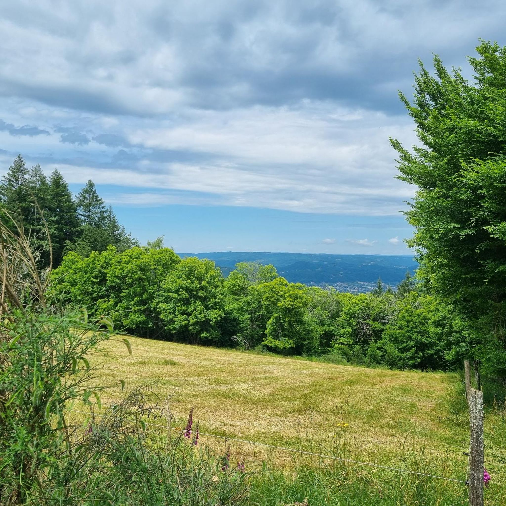
Small town with a fantastic panorama. Church, castle, and river.
0
0

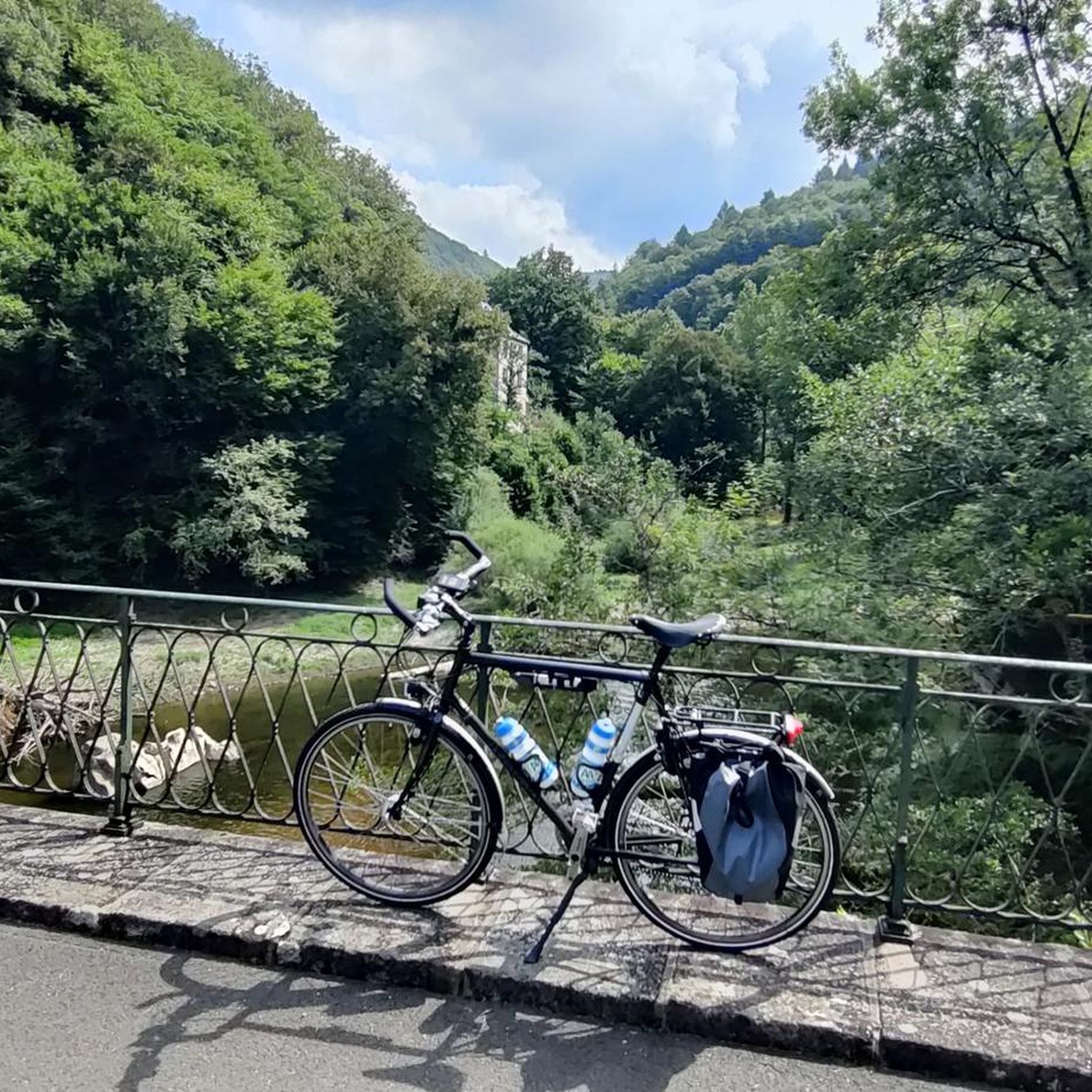
Beautiful bridge over the Dordogne in Beaulieu. Decorated with large flower arrangements in summer.
0
0

Along the Dordogne, the landscapes offer us a beautiful diversity between dams and villages.
0
0

This superb town, located on the edge of the Dordogne, is worth a stop. It has been known since the Gallic era. The place was strategic and has remained so throughout history. The town controlled the access linking Armorica to the Mediterranean Sea. This situation made it a place where wealth circulated. It was in the 18th and 19th centuries that its economic growth increased thanks to the use of barges, these flat-bottomed boats that could navigate shallow waterways.
1
0


Bridge over the magnificent Dordogne river and view of the quays.
0
0

Medieval castle located between Auvergne and Quercy, the castle of Laroquebrou suffered after the Revolution (with in particular the demolished south wing), before being restored and listed as a Historic Monument.
2
0
The rock of the virgin offers a magnificent view of the medieval village of Laroquebrou. The statue of the Virgin is a replica of Notre Dame de Fourvière in Lyon.
2
0
Frequently Asked Questions
How many road cycling routes are available around Camps-Saint-Mathurin-Léobazel?
There are over 70 road cycling routes in the Camps-Saint-Mathurin-Léobazel area. These routes cater to various skill levels, with 8 easy, 52 moderate, and 13 difficult options.
What kind of terrain can I expect on road cycling routes in Camps-Saint-Mathurin-Léobazel?
The region offers diverse terrain, characterized by granite landscapes, green river gorges, and hilly, wooded countryside. Altitudes range from 160 to 623 meters, ensuring a mix of challenging climbs and rewarding descents, particularly along the Cère river which forms dramatic green gorges.
Are there any challenging road cycling routes for experienced riders?
Yes, for experienced riders seeking a challenge, there are 13 difficult routes. One notable option is the Laroquebrou – Our Lady of Laroquebrou loop from Camps-Saint-Mathurin-Léobazel, a 58.9 km path featuring significant elevation gain through the region's granite landscapes and river valleys.
What are the best routes for scenic views?
Many routes offer stunning scenery. The region is known for its 'bucolic and rural landscapes,' extensive forests, and meadows. The Cère river gorges provide dramatic backdrops. Consider routes that pass near the Rocher du Peintre (Painter's Rock) for panoramic views across the Causse de Martel and the Ségala lotois plateau.
What do other road cyclists enjoy most about cycling in Camps-Saint-Mathurin-Léobazel?
The area is highly rated by the komoot community, with an average score of 4.3 stars from over 50 reviews. Cyclists often praise the varied terrain, from tranquil river rides to challenging climbs, and the immersive natural beauty of the Xaintrie Noire's hilly and wooded countryside.
Are there any family-friendly road cycling routes?
While the region is generally hilly, there are 8 easy routes that might be suitable for families or those looking for a more relaxed ride. The Entrance to Gagnac-sur-Cère loop from Laval-de-Cère, a 23.2 km trail through the Cère river valley, is a moderate option that could be manageable for active families.
What landmarks or attractions can I see along the road cycling routes?
You can explore charming nearby villages and historical sites. Highlights include the Saint Peter's Abbey Church, Beaulieu-sur-Dordogne, the Chapel of the Penitents of Beaulieu-sur-Dordogne, and the picturesque town of Argentat. The Old Bridge over the Dordogne and the Maronne Mill also offer interesting stops.
When is the best time of year to go road cycling in Camps-Saint-Mathurin-Léobazel?
The region's 'bucolic and rural landscapes' with extensive forests and meadows are particularly beautiful in spring and autumn. These seasons typically offer pleasant temperatures for cycling, avoiding the peak heat of summer while still providing lush scenery.
Are there any specific sportive cycling routes in the area?
Yes, the region is known for its focus on road cycling, including dedicated sportive routes. The 'Circuit Cyclo Sportif Xaintrie Blanche' is a 58.1 km route that traverses the granite plateau and deep gorges formed by the Maronne, Cère, and Dordogne rivers, offering an engaging ride through varied topography.
Where can I find more information about sportive cycling routes in Corrèze?
For additional details on sportive cycling routes in the wider Corrèze department, you can visit the official tourism website: tourismecorreze.com.
Are there any circular road cycling routes?
Yes, many of the routes are designed as loops, allowing you to start and end in the same location. An example is the Merle Towers – Saint-Cirgues-la-Loutre loop from Fontaine Claire, a 40.4 km moderate route offering views of the Xaintrie Noire.
What is the elevation range for road cycling in this region?
The altitude in Camps-Saint-Mathurin-Léobazel ranges from 160 to 623 meters. This variation ensures a dynamic cycling experience with both significant climbs and enjoyable descents throughout the routes.
Most popular routes around Camps-Saint-Mathurin-Léobazel
Most popular attractions around Camps-Saint-Mathurin-Léobazel

Get inspired with the komoot mobile app


Explore more
Browse the best Road cycling routes in other regions.
