The best running trails around Osternienburger Land
4.6
(311)
3,579
runners
333
runs
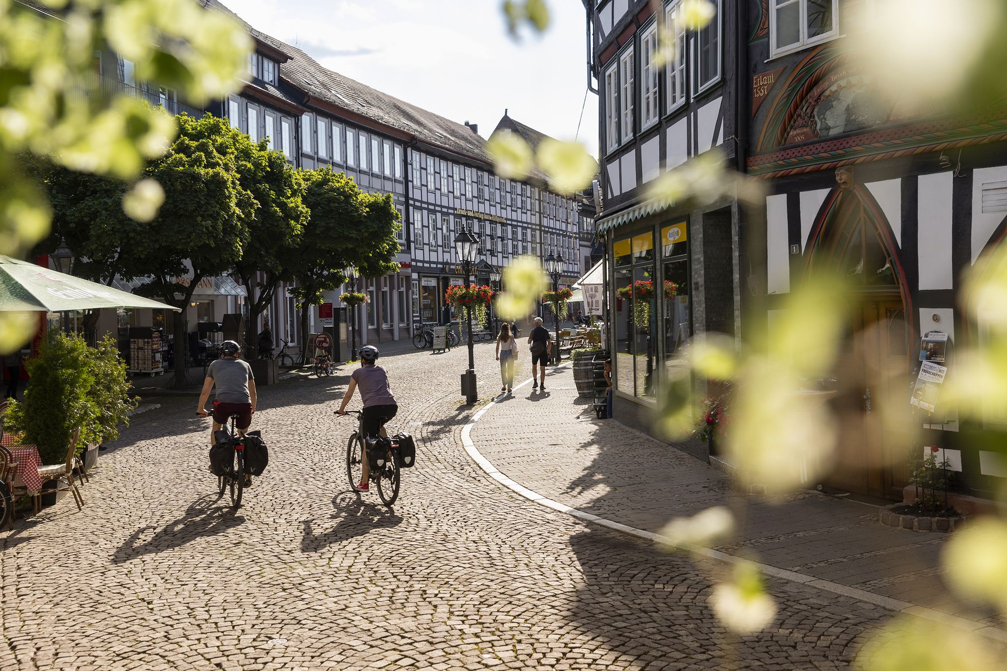
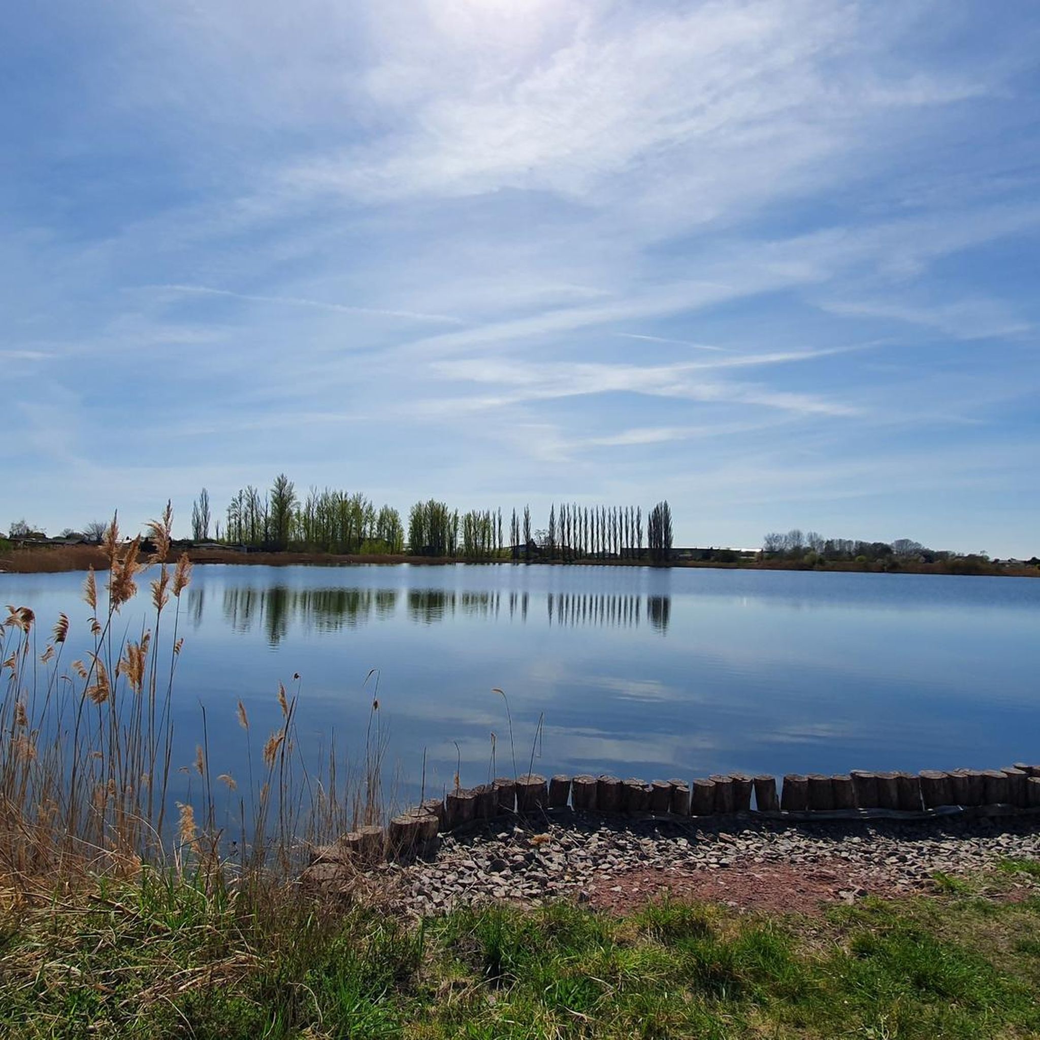
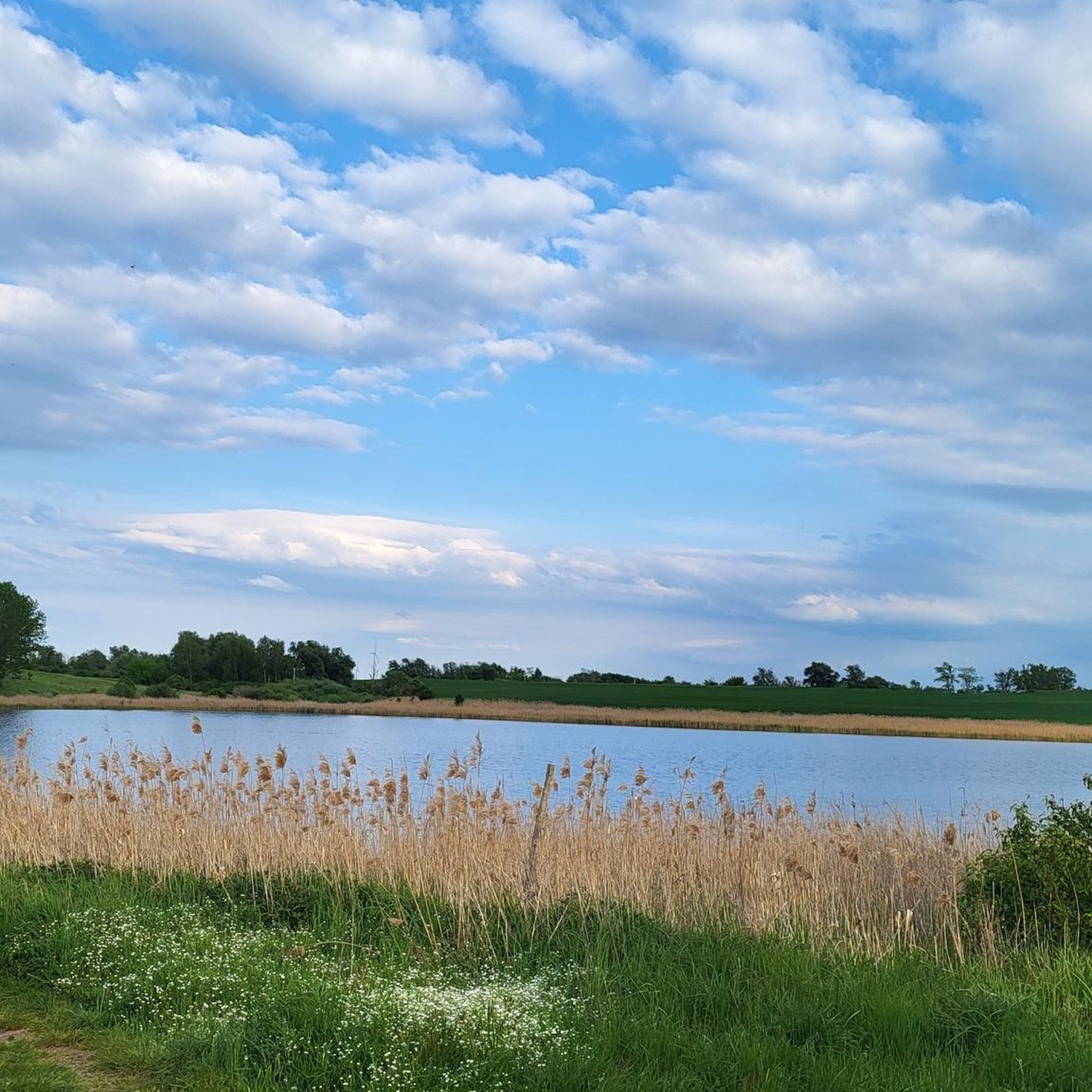
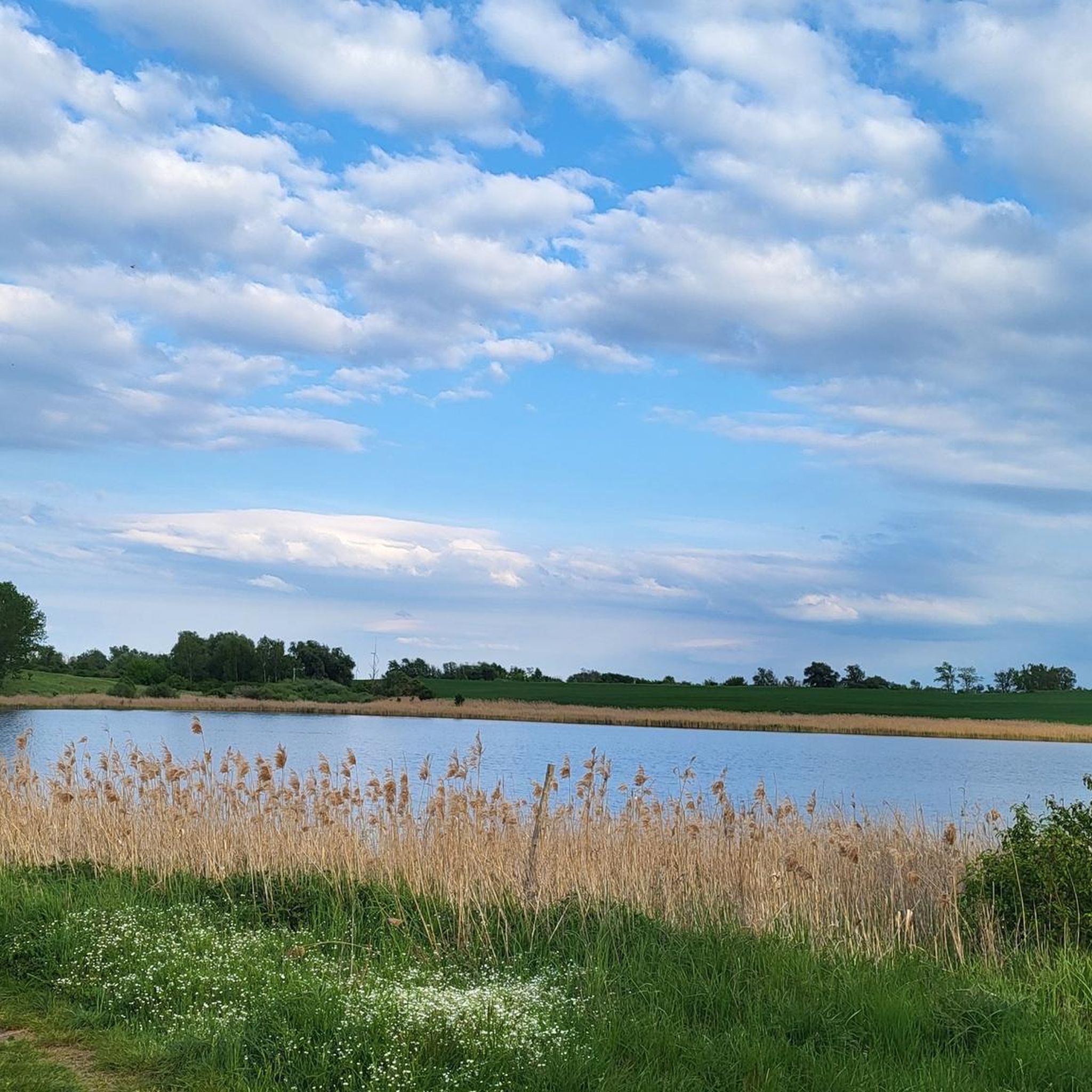
Jogging around Osternienburger Land offers diverse natural landscapes and accessible trails, making it an appealing destination for outdoor enthusiasts. The region is characterized by rolling hills and forests, providing a scenic backdrop for various activities. Numerous lakes, such as the Muldestausee and Goitzschesee, add to the natural beauty, while the Wulfener Bruch nature reserve features free-grazing Heck cattle and horses. This rural environment ensures ample space for extended and relaxing hours spent in nature.
Best jogging routes around Osternienburger Land
…Last updated: September 30, 2026
4.5
(2)
19
runners
8.61km
00:56
20m
20m
Moderate run. Good fitness required. Mostly paved surfaces. Suitable for all skill levels.
4.8
(4)
13
runners
Moderate run. Good fitness required. Mostly paved surfaces. Suitable for all skill levels.

4.5
(2)
9
runners
Moderate run. Good fitness required. Mostly paved surfaces. Suitable for all skill levels.
7
runners
Easy run. Great for any fitness level. Mostly paved surfaces. Suitable for all skill levels.
6
runners
Moderate run. Good fitness required. Mostly paved surfaces. Suitable for all skill levels.
Get access to more routes and recommendations from other explorers.
Already have an account?
Our route recommendations are based on thousands of hikes, rides, and runs completed by other people on komoot.
Start today with a free account
Your next adventure awaits.
Other adventures around Osternienburger Land

Tips from the Community

Beginner friendly
0
0

The moated castle is now a retirement home. The adjacent castle park is in poor condition.
0
0


Beautiful little castle in the middle of Mosigkau
2
0

The building is a three-storey, seven-axle plaster building with a hipped roof. At the corners, the main wing is flanked by cylindrical oriels with tail caps. On the courtyard side of the main wing there is a polygonal stair tower with a French dome and adicula portal. The one-storey farm building with a two-storey central projection stands south of the castle. In the yard of the farm building there is an octagonal pigeon tower built in 1703 with a baroque hood from the 18th century. The park at the moated castle to the east belongs to the palace complex. The Großpaschleben baptismal font, which is also a listed building, is located on the grounds of the palace complex. Source: https://de.wikipedia.org/wiki/Schloss_Gro%C3%9Fpaschleben
2
0

is a great building
7
0
Frequently Asked Questions
How many running routes are available in Osternienburger Land?
Osternienburger Land offers a wide selection of running routes, with over 350 trails available for joggers of all levels. These include 52 easy routes, 248 moderate options, and 50 more challenging trails.
What kind of terrain can I expect on the jogging trails in Osternienburger Land?
The region features diverse natural landscapes, including rolling hills, forests, and tranquil rural paths. You'll find easily accessible paths, often dirt paths, suitable for various fitness levels. The area is known for its scenic backdrop and ample space for outdoor activities.
Are there any easy running routes for beginners in Osternienburger Land?
Yes, Osternienburger Land has 52 easy running routes perfect for beginners or those looking for a relaxed jog. An example is the Lonely Field Path – Wasserschloss Großpaschleben loop from Köthen (Anhalt), which is about 4.2 kilometers long and has minimal elevation gain.
What natural features or landmarks can I see while jogging in Osternienburger Land?
The region is rich in natural beauty and historical sites. You can enjoy runs along lakes like Muldestausee and Goitzschesee, or explore the Wulfener Bruch nature reserve where you might spot Heck cattle and horses. Historical evidence from the Neolithic Age, such as large stone tombs in Drosa and Wulfen, also adds interest. Notable natural highlights include the Confluence of the Saale and the Elbe and Georgium Park.
Are there any circular running routes in Osternienburger Land?
Yes, many of the running routes in Osternienburger Land are designed as loops, offering convenient circular paths. For instance, the Wasserschloss Großpaschleben – Hubertus Pond loop from Köthen (Anhalt) is a moderate 8.2-kilometer circular trail.
What do other runners say about the trails in Osternienburger Land?
The running routes in Osternienburger Land are highly regarded by the komoot community, boasting an average rating of 4.6 stars from over 270 reviews. Runners often praise the tranquil rural setting, the diverse natural landscapes, and the well-maintained, easily accessible paths.
Are the running routes in Osternienburger Land suitable for families?
While specific family-friendly routes aren't detailed, the emphasis on 'easily-accessible paths' and the tranquil rural environment suggests that many of the easier and moderate trails would be suitable for families looking to enjoy a jog together. The region's natural beauty provides a pleasant backdrop for outdoor activities.
Can I bring my dog on the running trails in Osternienburger Land?
The rural nature of Osternienburger Land, with its extensive network of paths and natural reserves like Wulfener Bruch, generally makes it a welcoming area for dog owners. While specific regulations for each trail should be checked, many outdoor areas in such regions are dog-friendly, often requiring dogs to be on a leash.
What is the typical elevation gain on running routes in Osternienburger Land?
The region is characterized by rolling hills, meaning elevation changes are generally gentle rather than steep. For example, the Bauernwald loop from Dessau-Mosigkau has an elevation gain of approximately 21 meters over 8.6 kilometers, indicating a relatively flat to gently undulating terrain suitable for comfortable running.
Are there any historical sites along the running routes?
Yes, the region has historical significance. The Dirt Path to Thurau – Wasserschloss Großpaschleben loop from Großpaschleben, for instance, passes by the historic Wasserschloss Großpaschleben. Additionally, the region contains evidence from the Neolithic Age, including large stone tombs in areas like Drosa and Wulfen, which can be explored.
How long are the running trails in Osternienburger Land typically?
The running trails in Osternienburger Land vary in length to suit different preferences. You can find shorter routes like the Lonely Field Path – Wasserschloss Großpaschleben loop from Köthen (Anhalt) at about 4.2 kilometers, up to longer trails. The most popular route, Bauernwald loop from Dessau-Mosigkau, is 8.6 kilometers long.
What are some less-known running routes in Osternienburger Land that offer unique experiences?
While many routes are popular, exploring the region's extensive network can reveal hidden gems. Consider trails that venture into the Wulfener Bruch nature reserve for unique wildlife viewing opportunities, or those connecting to parts of the European Cycle Route R1 or the Luther Trail for varied scenery beyond the main jogging paths.
Most popular routes around Osternienburger Land
Most popular attractions around Osternienburger Land

Get inspired with the komoot mobile app


Explore more
Browse the best Running Trails & Routes in other regions.
