The best walks and hikes around Saint-Étienne-De-Puycorbier
4.4
(31)
201
hikers
22
hikes
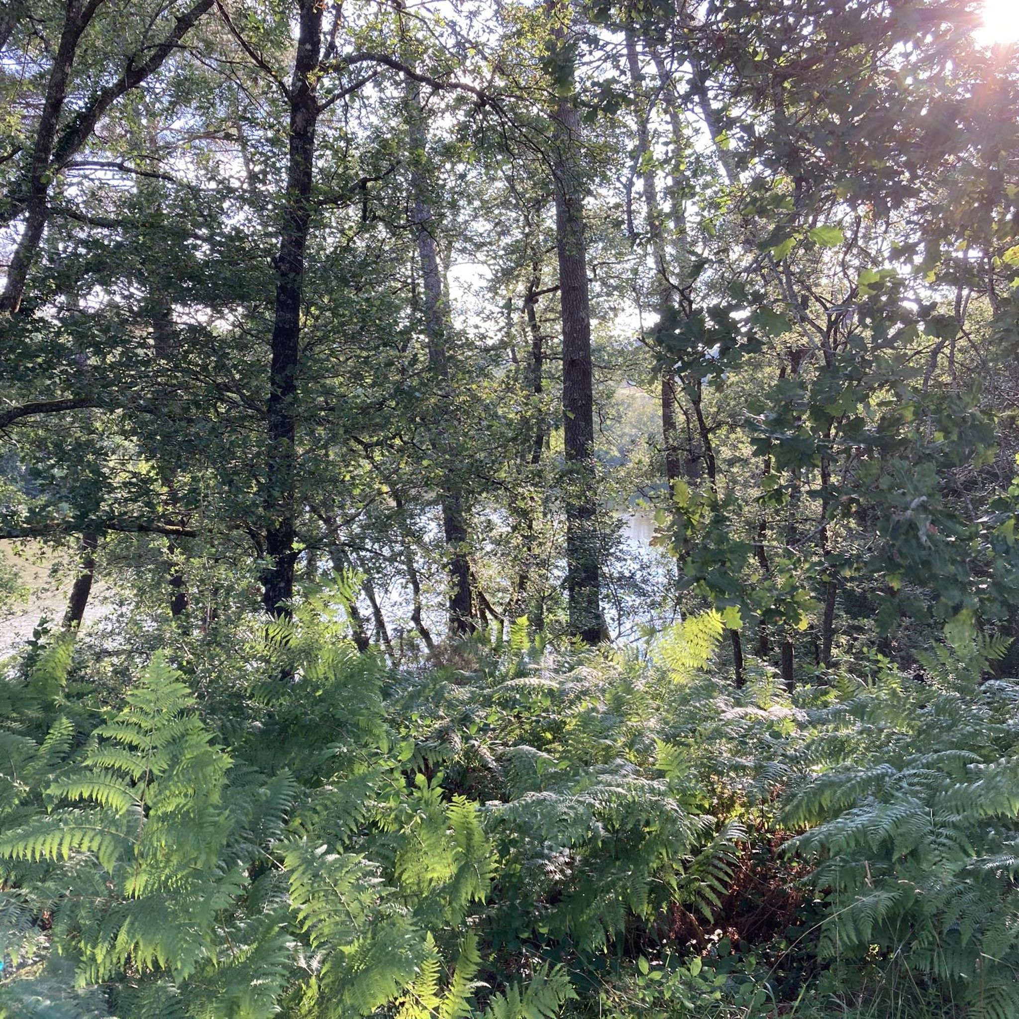
Hiking trails around Saint-Étienne-De-Puycorbier traverse a landscape characterized by the extensive Double Forest, numerous ponds, and river systems like the Grolet, a tributary of the Isle River. The region's terrain varies from 50 meters to 157 meters in altitude, offering a mix of gentle paths and slight ascents. This area in the Dordogne department provides diverse natural features, including shaded forest paths and wetland areas.
Best hiking trails around Saint-Étienne-De-Puycorbier
- The most popular hiking route is Grand Étang de la…
Last updated: May 18, 2026
4.8
(8)
77
hikers
5.70km
01:30
50m
50m
Easy hike. Great for any fitness level. Easily-accessible paths. Suitable for all skill levels.
4.6
(5)
18
hikers
5.63km
01:26
20m
20m
Easy hike. Great for any fitness level. Easily-accessible paths. Suitable for all skill levels.

Sign up for free
4.5
(4)
13
hikers
8.88km
02:26
140m
140m
Moderate hike. Good fitness required. Easily-accessible paths. Suitable for all skill levels.
4.3
(3)
24
hikers
2.23km
00:36
20m
20m
Easy hike. Great for any fitness level. Easily-accessible paths. Suitable for all skill levels.
3.8
(5)
28
hikers
Easy hike. Great for any fitness level. Easily-accessible paths. Suitable for all skill levels.
Get access to more routes and recommendations from other explorers.
Sign up for free
Already have an account?
Our route recommendations are based on thousands of hikes, rides, and runs completed by other people on komoot.
Start today with a free account
Your next adventure awaits.
Login or Signup


Tips from the Community


Frequently Asked Questions
How many hiking trails are available around Saint-Étienne-De-Puycorbier?
There are over 25 hiking trails around Saint-Étienne-De-Puycorbier, offering a variety of experiences for different skill levels. These routes traverse the diverse landscapes of the Double Forest and surrounding areas.
What kind of natural landscapes can I expect on hikes around Saint-Étienne-De-Puycorbier?
The region is characterized by the extensive Double Forest, known for its shaded paths and numerous ponds, including the significant Jemaye ponds. You'll also find gentle river systems, such as the Grolet, a tributary of the Isle River, and wetland areas, providing a tranquil setting with diverse flora and fauna.
Are there hiking trails suitable for families or beginners?
Yes, Saint-Étienne-De-Puycorbier offers many easy trails perfect for families and beginners. For example, the Grand Étang de la Jemaye – Étang de Petitonne loop from La Jemaye is an easy 7.4 km route that circles two beautiful ponds within the Double Forest, ideal for a leisurely outing.
Are there many circular hiking routes available?
Many of the hiking routes in the area are circular, allowing you to start and end at the same point. An example is the Étang des Jarthes loop from Échourgnac, a shorter, easy loop around a pond.
What historical or cultural sites can I explore while hiking?
Beyond natural beauty, you can discover historical sites. The Château des Chauvaux – Château de Mauriac loop from Douzillac connects two châteaux, offering a glimpse into the region's heritage. Additionally, the Memorial de la Résistance (Virolle camp) in Saint-Étienne-de-Puycorbier commemorates a significant WWII Resistance base.
Can I bring my dog on the hiking trails?
Generally, dogs are welcome on many hiking trails in the Saint-Étienne-De-Puycorbier area, especially in the extensive forest. However, it's always recommended to keep them on a leash, particularly in nature reserves or near livestock, and to clean up after them to preserve the natural environment for everyone.
What do other hikers enjoy most about hiking in Saint-Étienne-De-Puycorbier?
The hiking routes in Saint-Étienne-De-Puycorbier are highly rated by the komoot community, with an average score of 4.4 stars. Hikers often praise the quiet woodlands, the serene ponds, and the well-marked paths that make exploration enjoyable and accessible.
When is the best time of year to go hiking in Saint-Étienne-De-Puycorbier?
Spring and autumn are generally the best times for hiking in Saint-Étienne-De-Puycorbier. The weather is mild, and the natural scenery, especially the Double Forest, is particularly beautiful with vibrant foliage or blooming flora. Summer can also be pleasant, with the forest providing ample shade.
Are there any trails that feature water bodies or offer opportunities for water activities?
Yes, many trails incorporate water features. The Canal de Bénévent Bridge loop from Saint-Laurent-des-Hommes follows a tranquil canal. The Jemaye ponds, accessible via several routes, are popular for relaxation, swimming, paddleboarding, and birdwatching.
Is parking available at the trailheads?
While specific parking details vary by trailhead, many popular starting points for hikes in the Saint-Étienne-De-Puycorbier region, especially near villages or significant natural sites like the Jemaye ponds, offer designated parking areas for hikers.
Are there any challenging hiking routes for experienced hikers?
While the majority of trails are easy to moderate, there is at least one difficult route available for those seeking a greater challenge. The varied terrain, with altitudes ranging from 50m to 157m, ensures a range of hiking experiences for all levels.
What is the longest hiking trail in the immediate vicinity?
Among the listed routes, the Château des Chauvaux – Château de Mauriac loop from Douzillac is one of the longer options, covering approximately 8.9 km (5.5 miles) and typically taking around 2 hours 26 minutes to complete.
Most popular routes around Saint-Étienne-De-Puycorbier

Get inspired with the komoot mobile app


Explore more
Browse the best Hikes in other regions.
