The best road cycling routes around Saint-Maurice-De-Satonnay
4.3
(119)
4,433
riders
276
rides
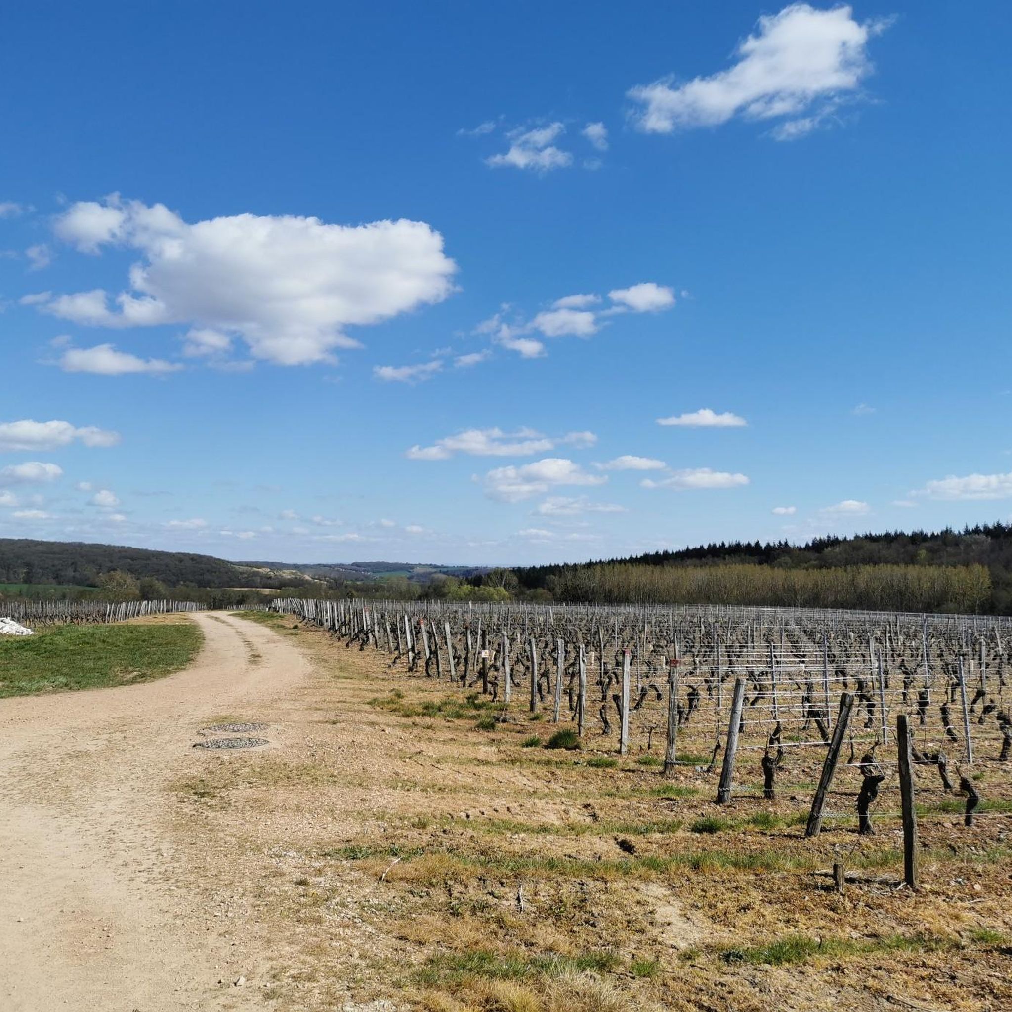
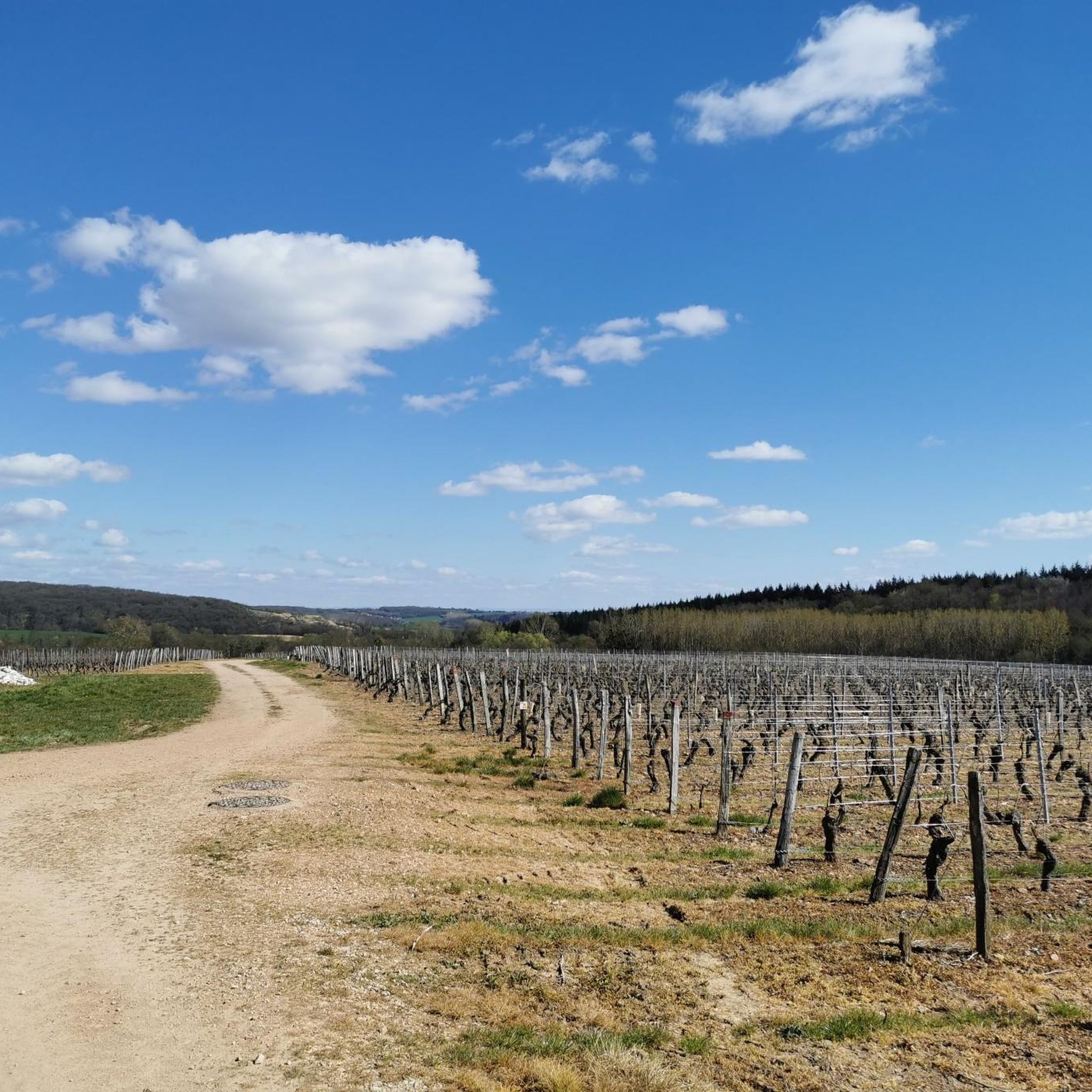
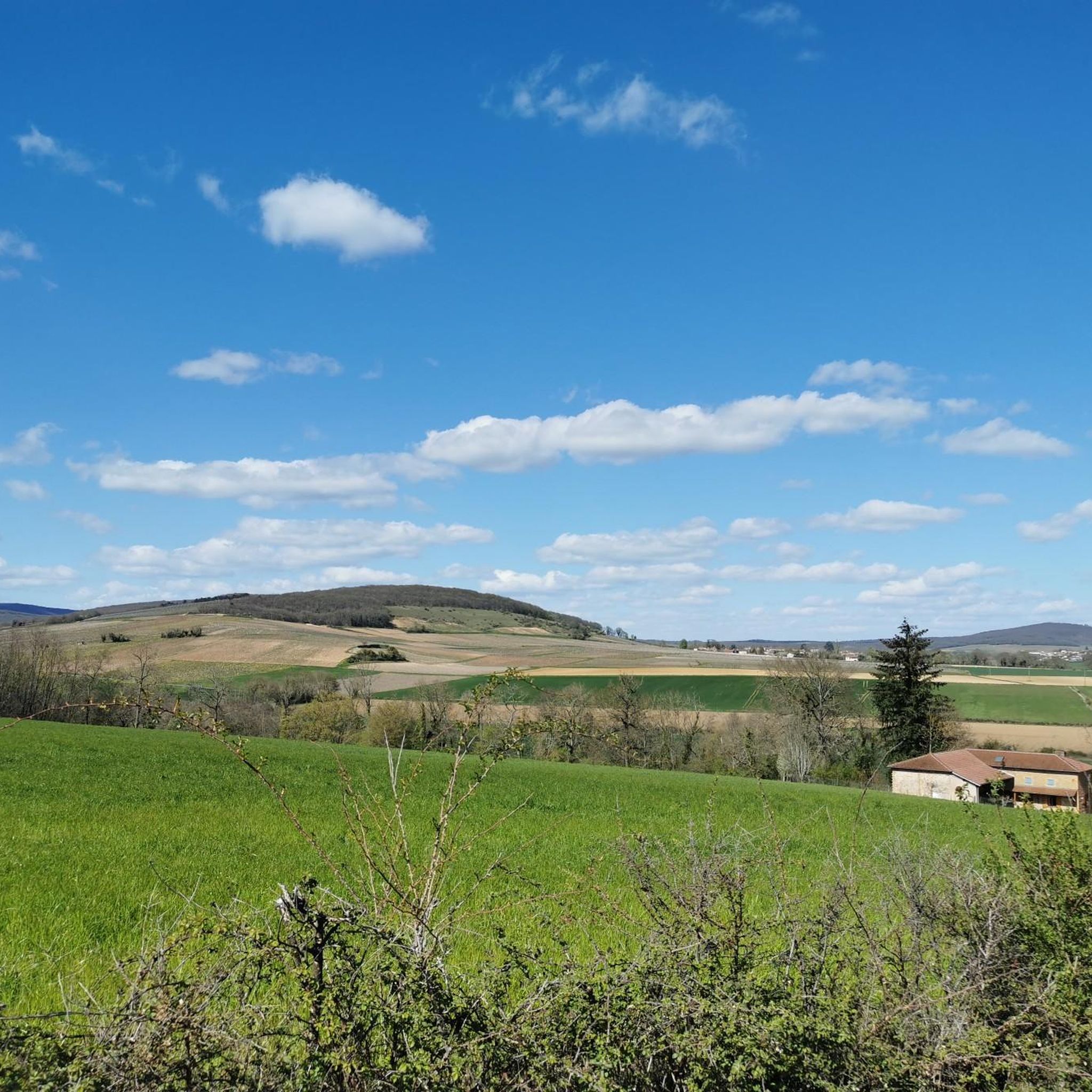
Road cycling routes around Saint-Maurice-De-Satonnay traverse a landscape characterized by rolling hills and agricultural plains, with notable elevation changes indicated by passes and cols. The region features a mix of open countryside and wooded sections, providing varied terrain for road cyclists. Roads often wind through vineyards and past small villages, offering a rural cycling experience. The area's topography includes moderate climbs and descents, making it suitable for different levels of road cycling.
Best road cycling routes around Saint-Maurice-De-Satonnay
- The most…
Last updated: October 7, 2026
3.5
(2)
39
riders
45.0km
02:24
880m
880m
Moderate road ride. Good fitness required. Mostly well-paved surfaces and easy to ride.
17
riders
46.9km
02:16
510m
510m
Moderate road ride. Good fitness required. Mostly well-paved surfaces and easy to ride.

25
riders
77.3km
03:32
720m
720m
Moderate road ride. Good fitness required. Some segments of this route may be unpaved and difficult to ride.
20
riders
45.4km
02:14
600m
600m
Moderate road ride. Good fitness required. Mostly well-paved surfaces and easy to ride.
5.0
(1)
13
riders
68.4km
03:18
930m
930m
Hard road ride. Very good fitness required. Mostly well-paved surfaces and easy to ride.
Get access to more routes and recommendations from other explorers.
Already have an account?
Our route recommendations are based on thousands of hikes, rides, and runs completed by other people on komoot.
Start today with a free account
Your next adventure awaits.

Tips from the Community

near the Charnay station, nice little stop.
0
0

The Rock of Solutré is a world-famous, 493-meter-high limestone rock in the south of the Burgundy region. It is located amidst the picturesque vineyards of the municipality of Solutré-Pouilly. The region is officially designated as a Grand Site de France. The hike to the summit is easy to moderate and very doable for families. It takes about 1 hour for the entire loop (approx. 4 kilometers round trip). The elevation gain is around 100 to 140 meters from the official parking lot on well-maintained paths with information panels, although there are many steps.
1
0
The Solutré Rock is a world-famous, 493-meter-high limestone cliff in the south of the Burgundy region. It is situated amidst the picturesque vineyards of the municipality of Solutré-Pouilly. The region is officially designated as a Grand Site de France. The hike to the summit is easy to moderate and well-suited for families. It takes about 1 hour for the entire circular route (approx. 4 kilometers round trip). The elevation gain is around 100 to 140 meters from the official parking lot, on well-maintained paths with information panels, although there are many steps.
0
0
The caves were already used by humans and animals around 250,000 years ago. It is mainly known for the huge number of found bones of cave bears and cave lions. Visitors can explore a prehistoric cave full of bone finds as well as a second cave with an impressive underground river. Right on site, there is an archaeological museum that displays the finds.
1
0
Although the pass is located in France and is not extremely high, its name translates to "Siberia Pass". The name goes back to the often very cold, snow-rich winds and the harsh weather conditions in winter.
1
0
The Saint-Laurent Bridge (Pont Saint-Laurent) is a historic stone bridge that spans the Saône River. It connects the town of Mâcon in the Saône-et-Loire department with the municipality of Saint-Laurent-sur-Saône in the Ain department. Initial wooden structures were already built by the Romans. The current stone bridge dates back to the 11th century in its core and is considered the oldest bridge over the Saône. The structure consists of twelve stone arches. On one of the pillars, there is a statue of Saint Nicholas, the patron saint of boatmen. It is one of the few historic structures in the region that survived the demolitions of World War II unscathed.
1
0
The Voie Verte (Green Way) is a former, paved railway line. At the starting point in Charnay-lès-Mâcon is the Vélo-Gare du Mâconnais - a former train station, which today serves as a tourist office and bicycle rental.
1
0

Romanesque church from the 12th century
0
0
Frequently Asked Questions
How many road cycling routes are available around Saint-Maurice-De-Satonnay?
There are over 270 road cycling routes documented around Saint-Maurice-De-Satonnay on komoot, offering a wide range of options for different skill levels.
Are there easy road cycling routes suitable for beginners in Saint-Maurice-De-Satonnay?
Yes, Saint-Maurice-De-Satonnay offers a selection of easy road cycling routes. You'll find 26 routes specifically rated as easy, perfect for those new to road cycling or looking for a more relaxed ride.
What are some options for longer road cycling tours in the region?
For longer rides, consider routes like the Col des Enceints - 529 m – Lamartine House loop from Azé, which covers over 58 km and includes significant elevation gain. Another good option is the Croix de Montmain Pass loop from Azé, a 44.8 km route with notable climbs.
What are common starting points for road cycling routes in the Saint-Maurice-De-Satonnay area?
Many popular road cycling routes in the area frequently start from villages like Azé and Laizé. These locations often provide convenient access to the regional road network and scenic loops.
Are there any family-friendly road cycling routes in Saint-Maurice-De-Satonnay?
While specific 'family-friendly' designations aren't always available for road cycling, routes with moderate difficulty and less traffic, often found in the agricultural plains, would be most suitable. Look for routes that avoid major passes if cycling with younger family members.
What kind of terrain can I expect on road cycling routes around Saint-Maurice-De-Satonnay?
The region is characterized by rolling hills and agricultural plains, with roads winding through vineyards and past small villages. You can expect a mix of moderate climbs and descents, providing varied terrain suitable for different levels of road cycling.
What are some scenic highlights I might encounter on road cycling routes?
Road cycling routes often pass through picturesque rural landscapes, vineyards, and small villages. You might also encounter natural features like the Vergisson Rock or historical sites such as the Lamartine House, depending on your chosen route.
Are there any challenging road cycling routes for experienced riders?
Yes, for experienced riders seeking a challenge, routes with significant elevation gain are available. The Col des Enceints - 529 m – Lamartine House loop from Azé, for instance, is rated difficult and features over 1100 meters of ascent.
What do other road cyclists enjoy most about road cycling in Saint-Maurice-De-Satonnay?
The area is highly rated by the komoot community, with an average score of 4.3 stars from over 80 reviews. Cyclists often praise the varied scenery, including vineyards and rural landscapes, and the network of roads that cater to different ability levels.
Are there road cycling routes that form a loop?
Many of the road cycling routes in Saint-Maurice-De-Satonnay are designed as loops, allowing you to start and finish at the same point. Examples include the Péronne – Azé Caves loop from Laizé and the Croix de Montmain Pass loop from Laizé.
Can I find routes that pass by interesting natural monuments?
Yes, some routes offer proximity to natural monuments. For example, the Vergisson Rock is a notable natural monument in the vicinity that can be incorporated into or viewed from certain cycling routes.
What is the best time of year for road cycling in Saint-Maurice-De-Satonnay?
Given the region's rolling hills and agricultural plains, spring and autumn generally offer the most pleasant conditions for road cycling, with milder temperatures and beautiful scenery. Summer can also be good, but be prepared for warmer weather, especially on exposed sections.
Most popular routes around Saint-Maurice-De-Satonnay
Most popular attractions around Saint-Maurice-De-Satonnay

Get inspired with the komoot mobile app


Explore more
Browse the best Road cycling routes in other regions.
