The best running trails around Montagrier
4.9
(14)
658
runners
54
runs
Jogging routes around Montagrier traverse the varied landscapes of the Périgord Vert region in the Dordogne. The area is characterized by green hills, extensive forests, and open fields, providing diverse terrains for running. Small rivers and streams, including the Dronne River, add to the natural charm and offer opportunities for riverside runs. Elevated points within the region provide panoramic views of the surrounding plains and countryside.
Best jogging routes around Montagrier
- The most popular jogging route is Table d'Orientation loop…
Last updated: July 27, 2026
53
runners
14.4km
01:47
370m
370m
Hard run. Very good fitness required. Mostly paved surfaces. Suitable for all skill levels.
5.0
(1)
38
runners
36.5km
04:16
660m
660m
Hard run. Very good fitness required. Mostly paved surfaces. Suitable for all skill levels.

Sign up for free
10
runners
19.9km
02:22
410m
410m
Hard run. Very good fitness required. Mostly paved surfaces. Suitable for all skill levels.
7
runners
9.96km
01:04
120m
120m
Moderate run. Good fitness required. Mostly paved surfaces. Suitable for all skill levels.
8
runners
40.6km
04:41
680m
680m
Hard run. Very good fitness required. Mostly paved surfaces. Suitable for all skill levels.
Get access to more routes and recommendations from other explorers.
Sign up for free
Already have an account?
Our route recommendations are based on thousands of hikes, rides, and runs completed by other people on komoot.
Start today with a free account
Your next adventure awaits.
Login or Signup

Frequently Asked Questions
What types of terrain can I expect on running routes around Montagrier?
The running routes around Montagrier traverse a diverse landscape. You'll find yourself on paths through green hills, extensive forests, and open fields. Many routes also follow rivers and streams, including the Dronne River, offering tranquil riverside runs. The varied terrain includes both gentle slopes and more undulating paths, providing a mix of challenges and scenic beauty.
Are there any easy or moderate jogging routes suitable for beginners in Montagrier?
Yes, while Montagrier offers many challenging routes, there are also options for those seeking an easier run. For example, the Running loop from Montagrier is a moderate 6.2-mile (10.0 km) trail that takes you through characteristic green hills and woodlands, often completed in about an hour. The Centre Sports Nature Montagrier also provides numerous accessible circuits classified by level and difficulty.
What are some scenic highlights or landmarks I might encounter while jogging in the region?
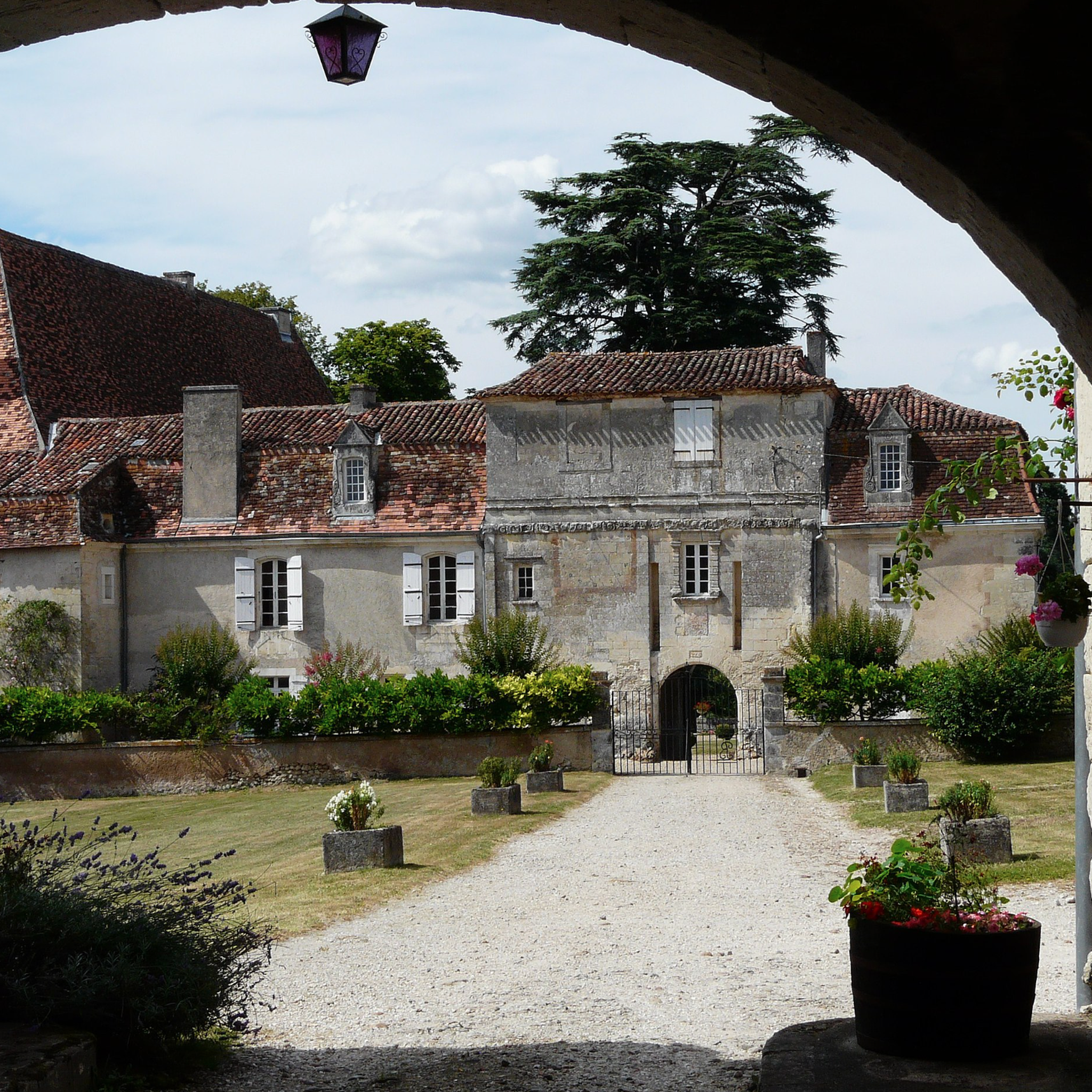
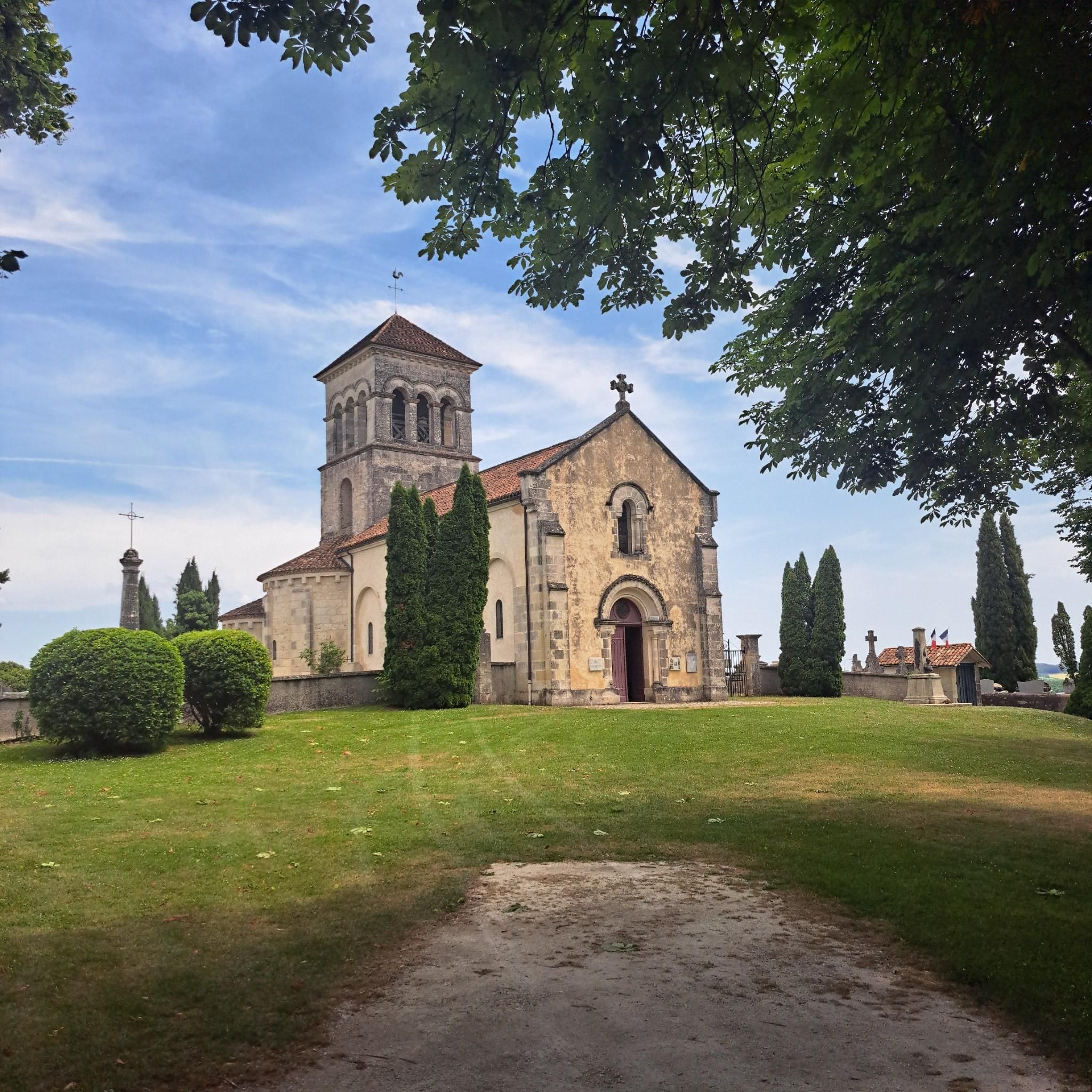
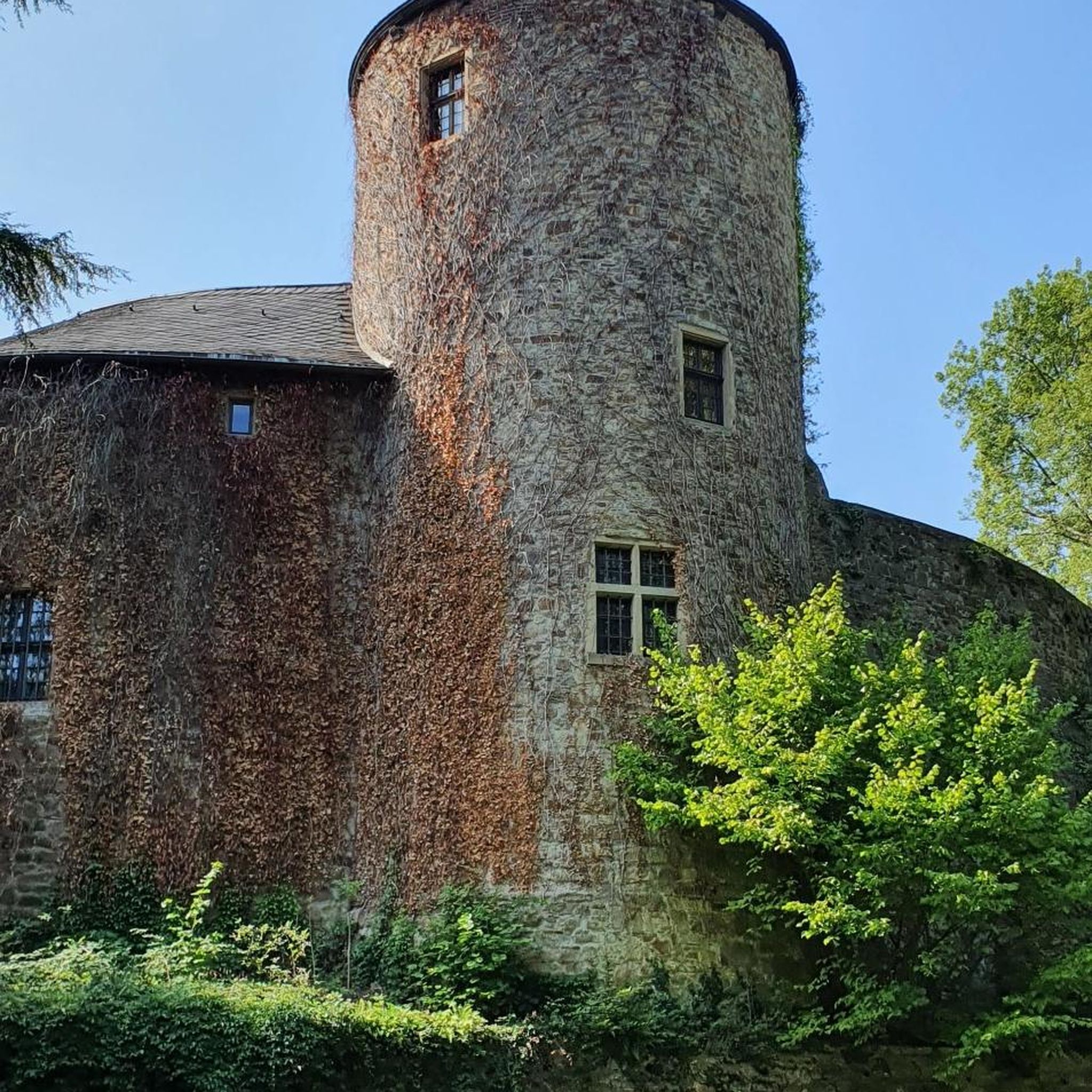
Montagrier and its surroundings are rich in natural beauty and historical charm. You can enjoy panoramic views from elevated points across the plains and fields. Along some routes, you might pass historical elements like the medieval Porte de Wiridel or the Sainte-Madeleine church in Montagrier. Nearby attractions include the impressive Bourdeilles Castle and the picturesque Dronne River, which offers lovely riverside running opportunities.
Are there any long-distance running routes available near Montagrier?
Yes, for those looking for a longer challenge, the region offers several extensive routes. The Dronne River loop from Douchapt is a difficult 25-mile (40.2 km) route with significant elevation gain, perfect for a long-distance run. Other challenging options include the Table d'Orientation loop from Tocane-Saint-Apre, which is 13.1 miles (21.1 km).
What do other runners say about the jogging experience in Montagrier?
The running routes in Montagrier are highly regarded by the komoot community, holding an impressive average rating of 4.7 out of 5 stars from over 14 reviews. Runners frequently praise the varied terrain, the tranquility of the forests and riverside paths, and the magnificent viewpoints that offer sublime panoramas of the surrounding countryside.
Are there circular running routes around Montagrier?
Yes, many of the running routes in the Montagrier area are designed as loops, allowing you to start and finish in the same location. Examples include the Zone humide du Roc loop from Montagrier, a challenging 12.4-mile (19.9 km) path, and the Running loop from Montagrier, a moderate 6.2-mile (10.0 km) option. The Centre Sports Nature Montagrier also highlights numerous accessible circuits.
Can I bring my dog on the running trails in Montagrier?
While the guide does not explicitly state dog-friendly policies for every specific route, the Périgord Vert region is known for its natural, unspoiled scenery and extensive network of outdoor trails. Generally, dogs are welcome on many public footpaths and trails in rural France, provided they are kept under control, especially near livestock or in nature reserves. It's always advisable to check local signage or specific route details for any restrictions.
Are there family-friendly running routes in Montagrier?
The region offers a variety of trails, some of which are suitable for families. While many routes have significant elevation changes, the Centre Sports Nature Montagrier provides numerous accessible and varied circuits, some of which are classified for easier levels. These could be adapted for family jogs, allowing everyone to enjoy the beautiful landscapes of green hills, forests, and fields.
What is the best time of year to go running in Montagrier?
Montagrier's natural beauty, with its shifting colors between green and yellow depending on the season, makes it appealing year-round. Spring and autumn generally offer the most pleasant temperatures for running, with vibrant foliage or blooming wildflowers. Summer can be warm, so early morning or late evening runs are often preferred. The extensive forests also provide shade during warmer months. Winter running is possible, but trails might be muddy after rain.
How many running routes are available in the Montagrier area?
There are over 50 running routes available in the Montagrier area, catering to various fitness levels and preferences. These include 34 moderate routes and 18 difficult routes, ensuring there's a suitable option whether you're looking for a gentle jog or a challenging trail run.
Are there any running routes that offer significant elevation gain for a challenging workout?
Absolutely. Montagrier is known for its undulating paths and offers several routes with significant elevation gain. For instance, the Zone humide du Roc loop from Montagrier features over 400 meters of ascent over its 12.4 miles (19.9 km). Another challenging option is the Table d'Orientation loop from Saint-Victor, which includes over 320 meters of elevation gain across 8 miles (12.8 km).
Where can I find parking for the running trails in Montagrier?
While specific parking locations for every trail are not detailed, Montagrier is a village with a dedicated Centre Sports Nature. This hub serves as a starting point for many circuits, suggesting that parking facilities would be available there or in the vicinity of the village center. For routes starting from other villages like Tocane-Saint-Apre or Saint-Victor, local parking would typically be available near the start points.
Most popular attractions around Montagrier

Get inspired with the komoot mobile app


Explore more
Browse the best Running Trails & Routes in other regions.
