The best running trails around Gohrisch
4.8
(34)
209
runners
35
runs
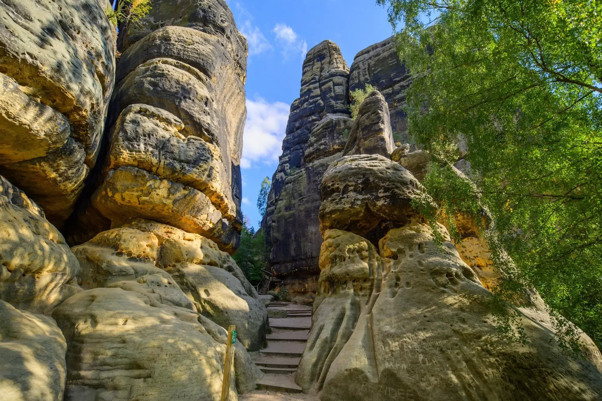
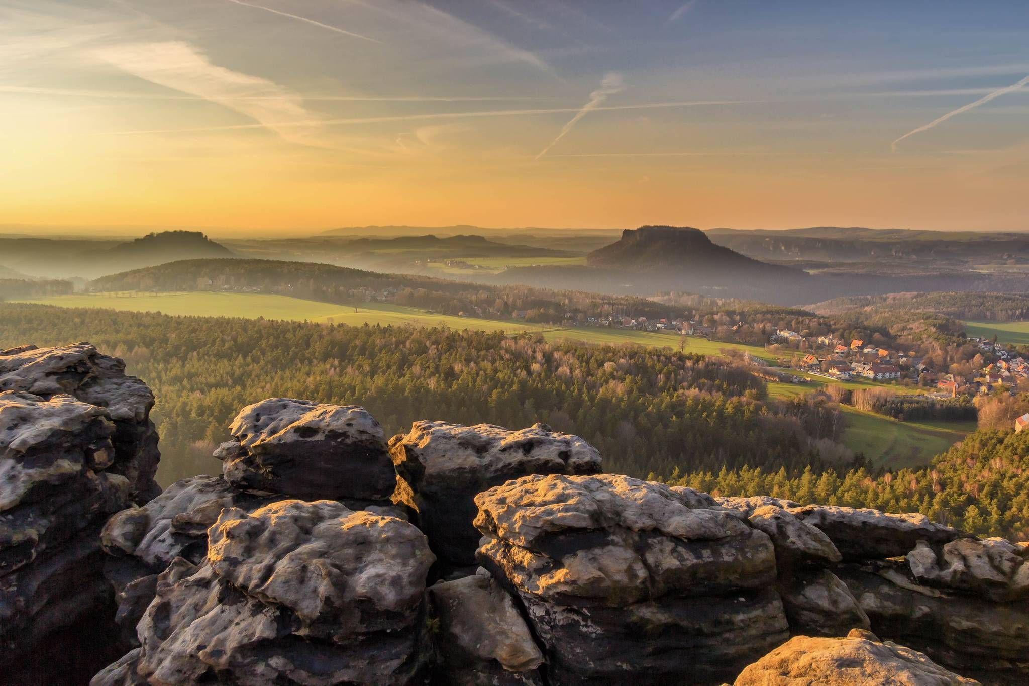
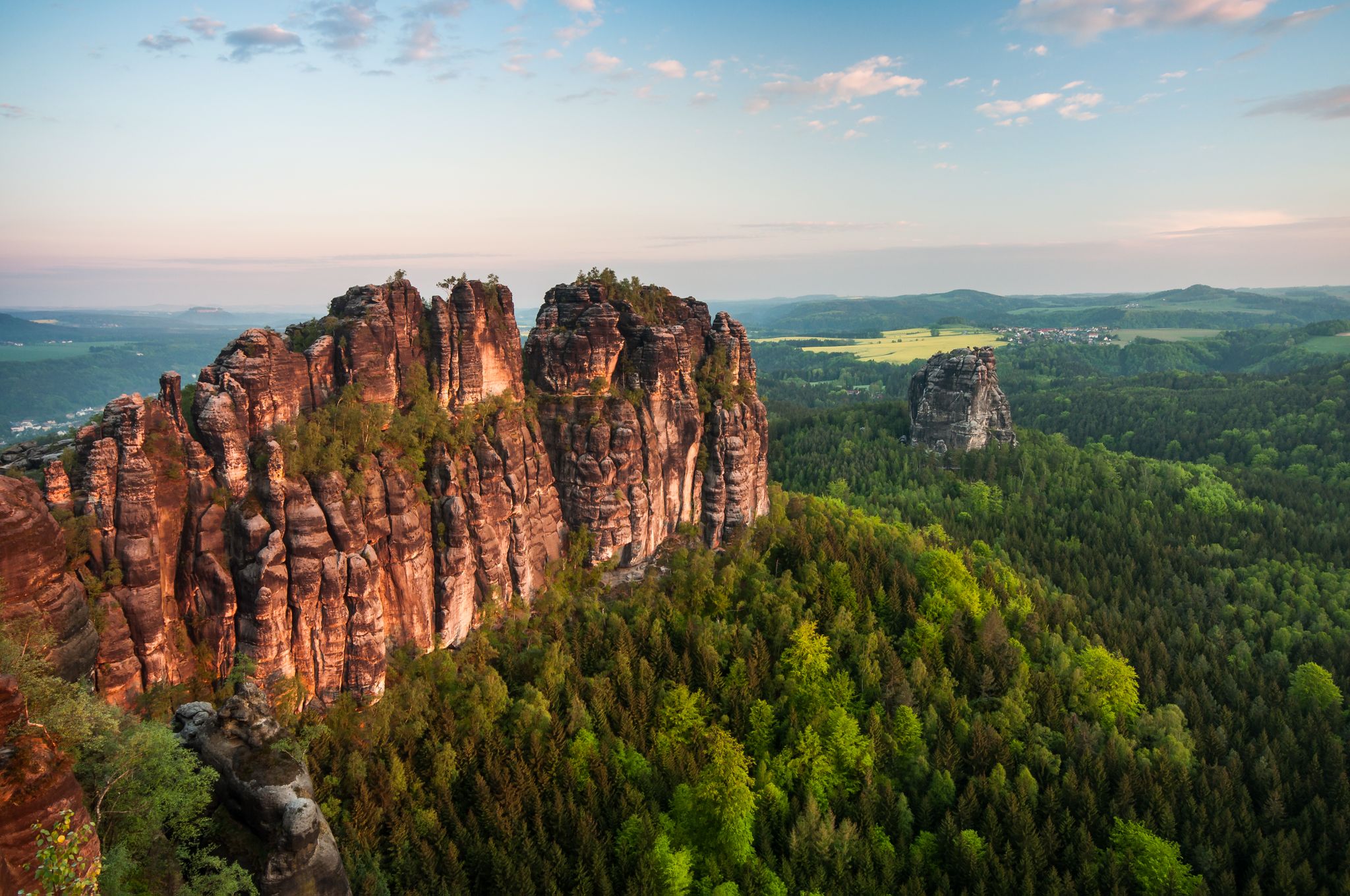
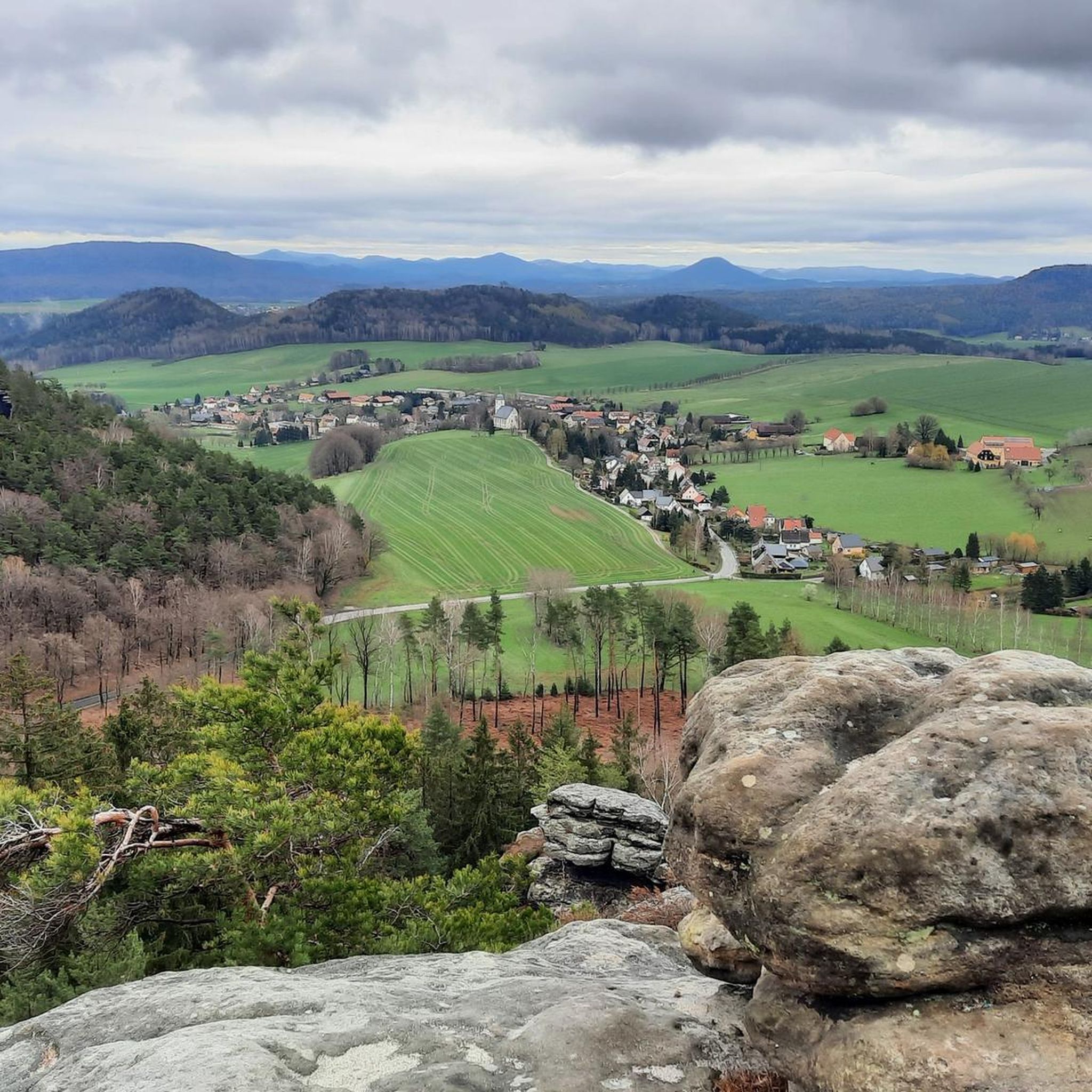
Jogging routes around Gohrisch traverse a landscape defined by distinctive sandstone table mountains and dense forests within Saxon Switzerland. The region features dramatic cliffs, deep valleys, and varied terrain, offering diverse running experiences. Elevation changes are common, with routes leading to panoramic viewpoints. This area is known for its unique geological formations and rich biodiversity.
Best jogging routes around Gohrisch
- The most popular jogging route is Papststein Viewpoint – Königstein Fortress loop from Saxon Switzerland, a 9.0 miles (14.5 km) trail that takes 1 hour 54 minutes to complete. This challenging route offers expansive views of the surrounding table mountains and the Elbe River valley.
- Another top favourite among local runners is Ascent of Kohlbornstein – Kohlbornstein Viewpoint loop from Papstdorf, a moderate 5.6 miles (8.9 km) path. This route leads through forested areas and offers rewarding views from the Kohlbornstein viewpoint.
- Local runners also love the Papststein Mountain Inn – View from the Papststein loop from Gohrisch, a 3.6 miles (5.8 km) trail leading through varied forest and rock formations, often completed in about 48 minutes.
- Jogging around Gohrisch is defined by sandstone table mountains, deep valleys, and dense woodlands. The network of running paths offers options for different ability levels, from moderate forest trails to more challenging routes with significant elevation gain.
- The routes in Gohrisch are highly rated by the komoot community with an average score of 4.8 stars from over 20 reviews. More than 190 runners have used komoot to explore Gohrisch's varied terrain.
Last updated: September 28, 2026
5.0
(3)
28
runners
14.6km
01:55
440m
440m
Hard run. Very good fitness required. Sure-footedness, sturdy shoes and alpine experience required.
4.3
(3)
14
runners
8.94km
01:03
190m
190m
Moderate run. Good fitness required. Mostly paved surfaces. Suitable for all skill levels.

5.0
(1)
13
runners
5.51km
00:46
190m
190m
Hard run. Good fitness required. Sure-footedness, sturdy shoes and alpine experience required.
5.0
(1)
12
runners
Moderate run. Good fitness required. Mostly paved surfaces. Suitable for all skill levels.
5.0
(1)
10
runners
7.74km
00:53
150m
150m
Moderate run. Good fitness required. Mostly paved surfaces. Suitable for all skill levels.
Get access to more routes and recommendations from other explorers.
Already have an account?
Our route recommendations are based on thousands of hikes, rides, and runs completed by other people on komoot.
Start today with a free account
Your next adventure awaits.
Popular around Gohrisch
Malerweg – Trail running in Germany's dramatic Saxon Switzerland area
Forststeig – 7 days in the wild, remote sandstone mountains
Malerweg — following the trails of the artists in Saxon Switzerland
National Park Region Saxon Switzerland: Hiking Recommendations 2023
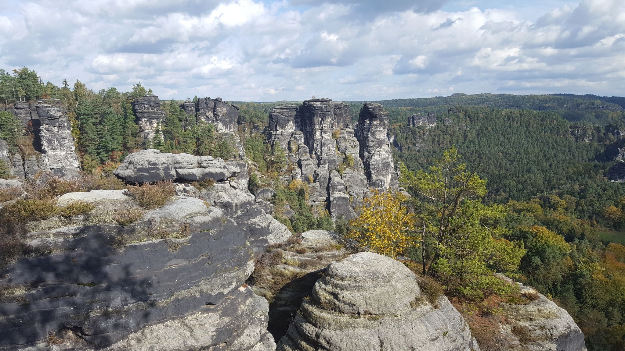
Saxon Switzerland - Adventures for Everyone
Das Rascheln der Blätter – Natur trifft Kultur zur Buchmesse
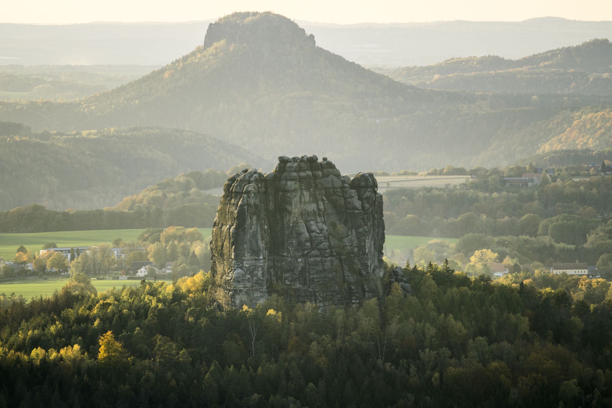
Wanderempfehlungen Nationalparkregion Sächsische Schweiz
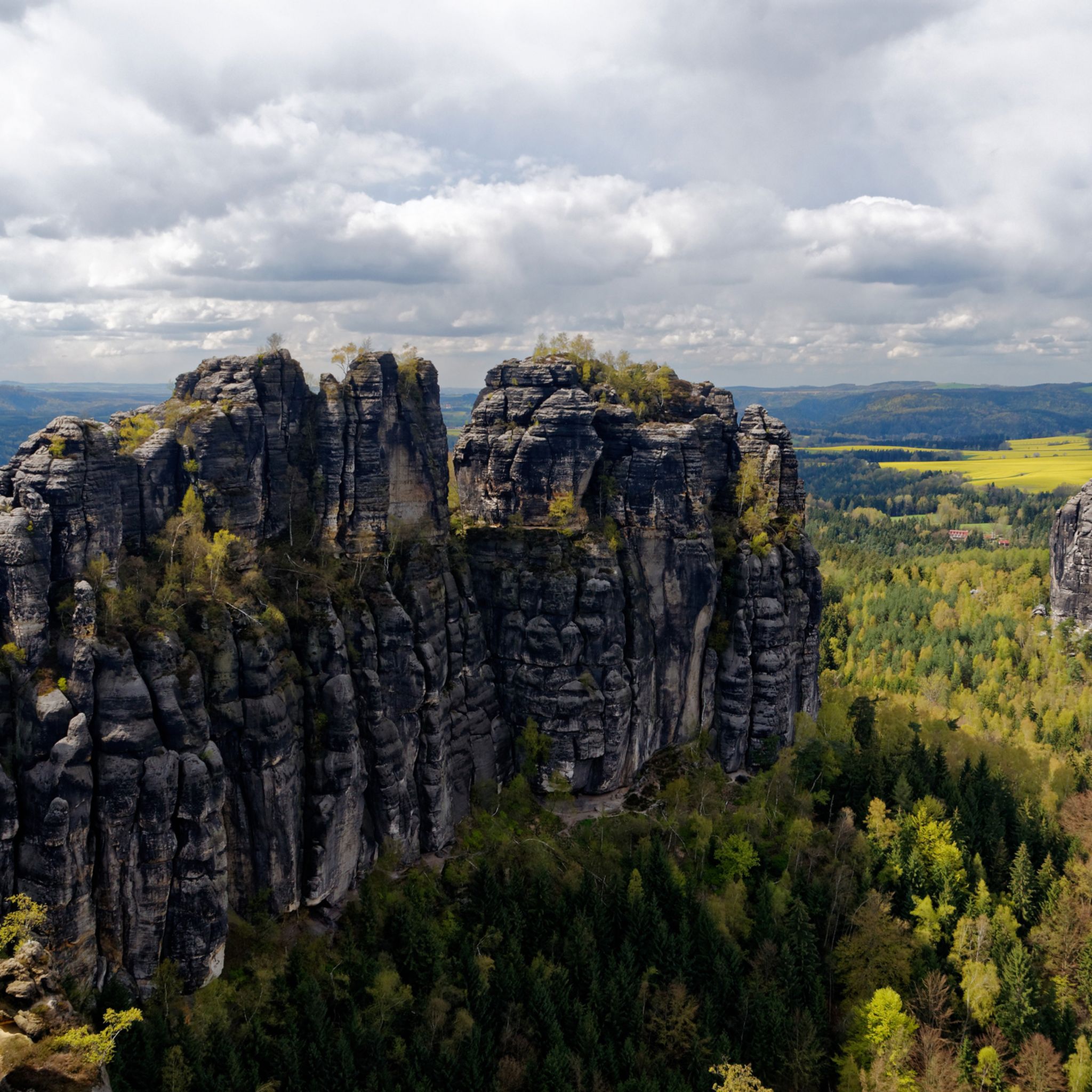
Hiking around Gohrisch
Gravel biking around Gohrisch
Road Cycling Routes around Gohrisch
Other adventures around Gohrisch


Tips from the Community

Sandstone memorial plaque from 1887 in honor of King Albert and his wife Queen Carola.
1
0

Papstdorf lies southeast of the Saxon state capital Dresden in Saxon Switzerland and the Elbe Sandstone Mountains. It is located in the east of the Saxon Switzerland-Eastern Ore Mountains district within the Saxon Switzerland Nature Reserve. The forest-strip village is located approximately in the center of the municipality of Gohrisch. The village is situated on the Papstdorfer Ebenheit (Pappendorf Plain) in the valley of the Liethenbach stream, which flows into the Krippenbach from the left in Krippen. On the western edge of Papstdorf, the Papststein (Pappenstein) towers, a table mountain. To the east of the village are the Laasensteine (Laasen Stones). The present Papstdorf Church was built in 1786/1787 on the site of the previous church on a hill north of the village. Its church bells, from the Dresden Weinholdt foundry, date from 1711 (Michael Weinholdt), 1733 (Johann Gottfried Weinholdt), and 1787 (August Sigismund Weinholdt). In 1845, the church received an organ by Wilhelm Leberecht Herbrig. See: https://de.wikiped
1
0
The soapstone tunnel at Gohrisch was excavated to extract soapstone and other minerals. It has been exposed to a soapstone passage and a blind shaft for about 93 meters. According to estimates, the tunnel is very old. It lies at the eastern foot of the mountain and is now an important habitat for bats. The exact date of the tunnel's construction is unknown, but the mine at Gohrisch was mentioned as "Hülffe Gottes" (Help of God) as early as 1583.
2
0
The ascent / descent from the Gohrisch circular trail through the Stillen Grund to Gohrisch (town) is easy to walk, in some places wet / muddy due to weather conditions and not very busy.
1
0

If this is a High Life, the map would be full of them…
0
0

It's just incredibly beautiful here 😊.
0
0

Terrible. Unfriendly owner. Ugly figures.
1
1

A beautiful rest stop! The climb is not easy and requires some strength, especially for those with shorter legs.
0
0
Frequently Asked Questions
How many running routes are available in Gohrisch?
Gohrisch offers a wide selection of running paths, with over 35 routes available for you to explore. These range from easy forest trails to more challenging routes with significant elevation gain, catering to various fitness levels.
What kind of terrain can I expect on the jogging trails around Gohrisch?
The jogging trails in Gohrisch traverse a diverse landscape characterized by distinctive sandstone table mountains, dramatic cliffs, deep valleys, and dense forests within Saxon Switzerland. You'll encounter varied terrain, from well-maintained paths to routes involving steps and ladders, often leading to panoramic viewpoints.
Are there any family-friendly running routes in Gohrisch?
Yes, Gohrisch has routes suitable for families. For an easy and accessible option, consider the "Rund um den Gohrisch auf dem Bodenlehrpfad Sächsische Schweiz" which is about 3.65 km long. Many paths are well-maintained and feature resting benches, making them pleasant for all ages.
Can I bring my dog on the running trails in Gohrisch?
Yes, many trails in Gohrisch are dog-friendly. The region's natural beauty and varied terrain provide excellent opportunities for running with your canine companion. However, it's always advisable to keep dogs on a leash, especially within the Saxon Switzerland National Park area, to protect wildlife and ensure a pleasant experience for all users.
Are there circular running routes available in Gohrisch?
Absolutely. Many of the running paths around Gohrisch are circular, allowing you to start and end at the same point. An example is the Ascent of Kohlbornstein – Kohlbornstein Viewpoint loop from Papstdorf, a moderate 8.9 km path that offers rewarding views.
What are some challenging running routes in the Gohrisch area?
For a more challenging run, consider routes with significant elevation changes and longer distances. The Papststein Viewpoint – Königstein Fortress loop from Saxon Switzerland is a difficult 14.5 km trail with over 440 meters of elevation gain, offering expansive views of the table mountains and the Elbe River valley.
What is the best time of year to go running in Gohrisch?
Gohrisch is beautiful year-round, but spring and autumn offer particularly pleasant conditions for running with milder temperatures and vibrant scenery. Summer is also popular, though it can be warmer. Winter running is possible, but some trails might be icy or snowy, especially at higher elevations.
Are there any interesting natural attractions or landmarks along the running routes?
Yes, Gohrisch is rich in natural and historical landmarks. You might encounter unique rock formations, deep gorges like the Falkenschlucht, or historical refuges such as the Schwedenhöhle. The area also features impressive viewpoints, including those from the summit of Gohrisch Mountain or Papststein. For specific highlights, you can explore areas like the Kuhstall Rock Arch or the Frienstein cave.
What do other runners say about the trails in Gohrisch?
The running routes in Gohrisch are highly rated by the komoot community, with an average score of 4.8 stars from over 20 reviews. Runners often praise the stunning views, the varied terrain, and the well-marked paths that make exploring the unique Saxon Switzerland landscape a rewarding experience.
Are there any easy running routes for beginners in Gohrisch?
Yes, beginners can find suitable routes. The region offers several easy paths, such as the "Rund um den Gohrisch auf dem Bodenlehrpfad Sächsische Schweiz," a 3.65 km route that is relatively flat and suitable for all fitness levels. These routes often wind through forests, providing a gentle introduction to running in the area.
Are there opportunities to see wildlife while running in Gohrisch?
Gohrisch is known for its rich biodiversity, being part of the Saxon Switzerland National Park. While running, you might encounter various flora and fauna, making it appealing for nature enthusiasts and birdwatchers. Keep an eye out for local wildlife, especially in the quieter forest sections of the trails.
Where can I find parking near the running trails in Gohrisch?
Parking is generally available at various trailheads and villages around Gohrisch, such as in Gohrisch itself or nearby Papstdorf. Many routes, like the Global Signpost in Papstdorf – Gohrisch Farm Shop & Farm Café loop from Saxon Switzerland, often start from locations with designated parking areas, making access convenient for runners.
Can I access the running routes in Gohrisch using public transport?
Yes, Gohrisch and the surrounding Saxon Switzerland region are accessible by public transport. Buses connect the villages, and train stations along the Elbe River provide access to the wider area. You can plan your route to start near a bus stop or train station to reach the trails without a car.
Most popular routes around Gohrisch
Most popular attractions around Gohrisch

Get inspired with the komoot mobile app


Explore more
Browse the best Running Trails & Routes in other regions.
