The best running trails around Bous
4.3
(751)
8,621
runners
12
runs
Jogging around Bous offers diverse landscapes along the Saar River and through extensive forests. The region is characterized by scenic river valleys and varied elevations, providing a range of running experiences. Well-developed trail networks in Saarland and nearby Luxembourg ensure numerous opportunities for runners.
Best jogging routes around Bous
- The most popular jogging route is Völklingen Ship Landing Stage loop from Bous (Saar), a 7.4 miles (12.0 km) trail that takes 1 hour 14 minutes to complete. This route…
Last updated: November 5, 2026
5.0
(2)
110
runners
22.7km
02:20
70m
70m
Hard run. Very good fitness required. Mostly paved surfaces.
46
runners
9.78km
01:01
40m
40m
Moderate run. Good fitness required. Mostly paved surfaces.

4.0
(1)
32
runners
19.4km
02:07
260m
260m
Hard run. Very good fitness required. Mostly paved surfaces.
20
runners
5.74km
00:36
50m
50m
Moderate run. Good fitness required. Mostly paved surfaces.
4
runners
28.8km
03:03
210m
210m
Hard run. Very good fitness required. Mostly paved surfaces.
Get access to more routes and recommendations from other explorers.
Already have an account?
Our route recommendations are based on thousands of hikes, rides, and runs completed by other people on komoot.
Start today with a free account
Your next adventure awaits.
Tips from the Community

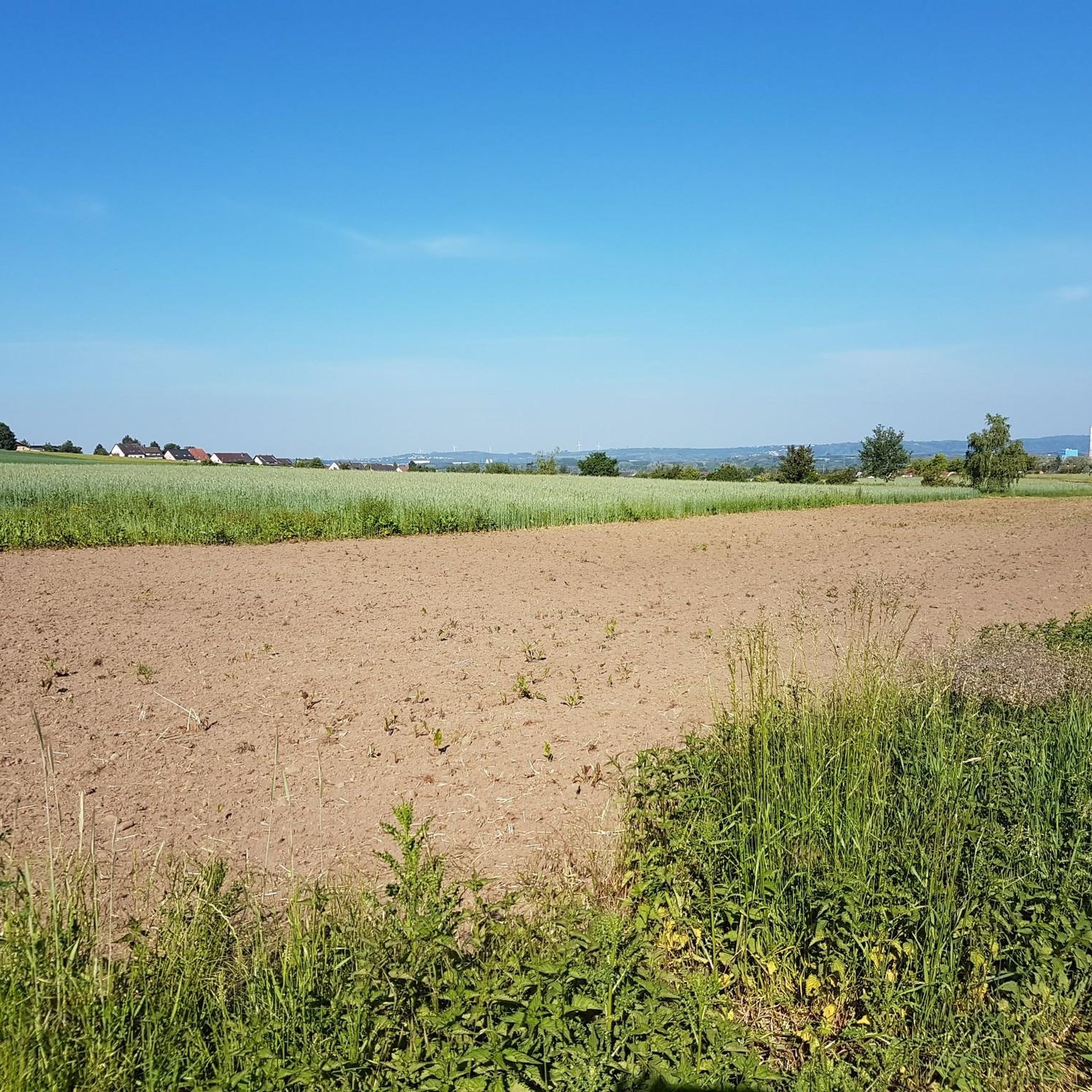
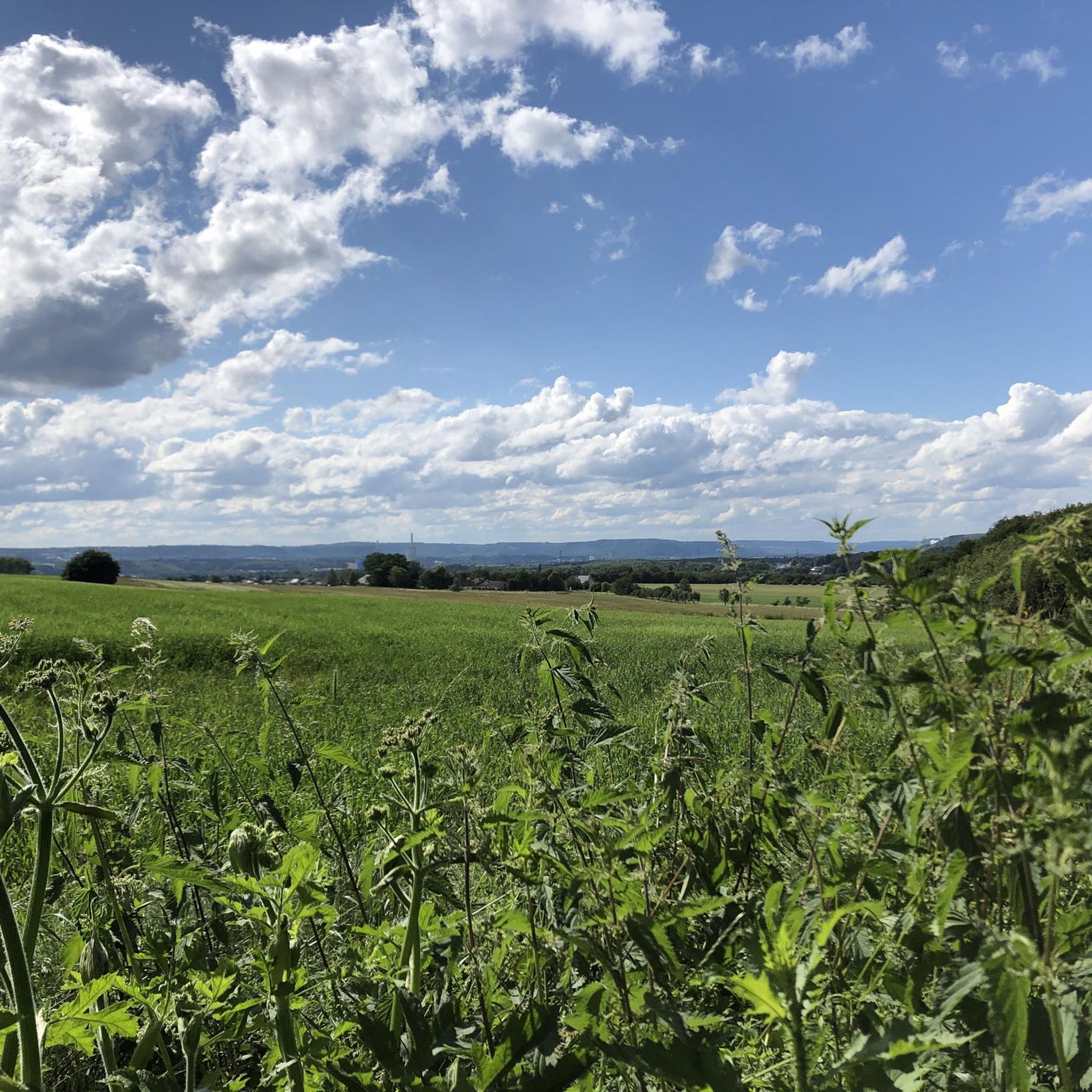
A great climb to the imposing Polygon is rewarded by a perfect view of the Saarland.
2
0

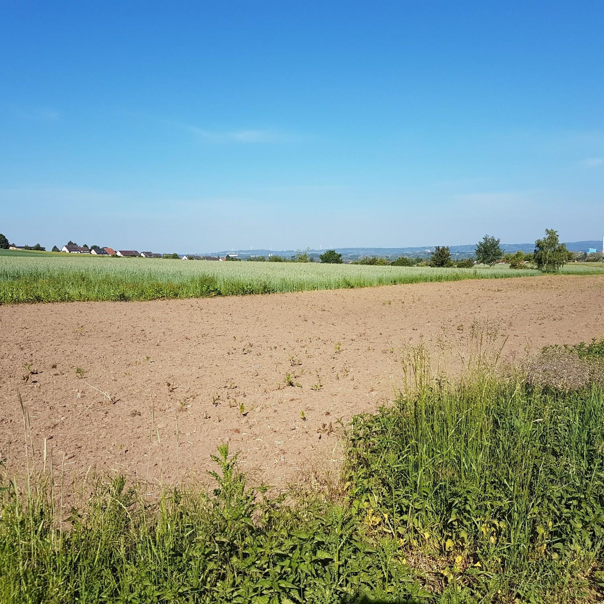
Luckily, it offered me proper rain protection.
0
0

Information regarding kitchen opening hours is currently missing. More information about the menu online would be helpful.
0
0

The isolated Chapel of St. Mary in Werbeln is a place of refuge for many people who wish to pray. It was initiated in 1954 by the then Father Wendelinus Maas and built with donations.
2
0


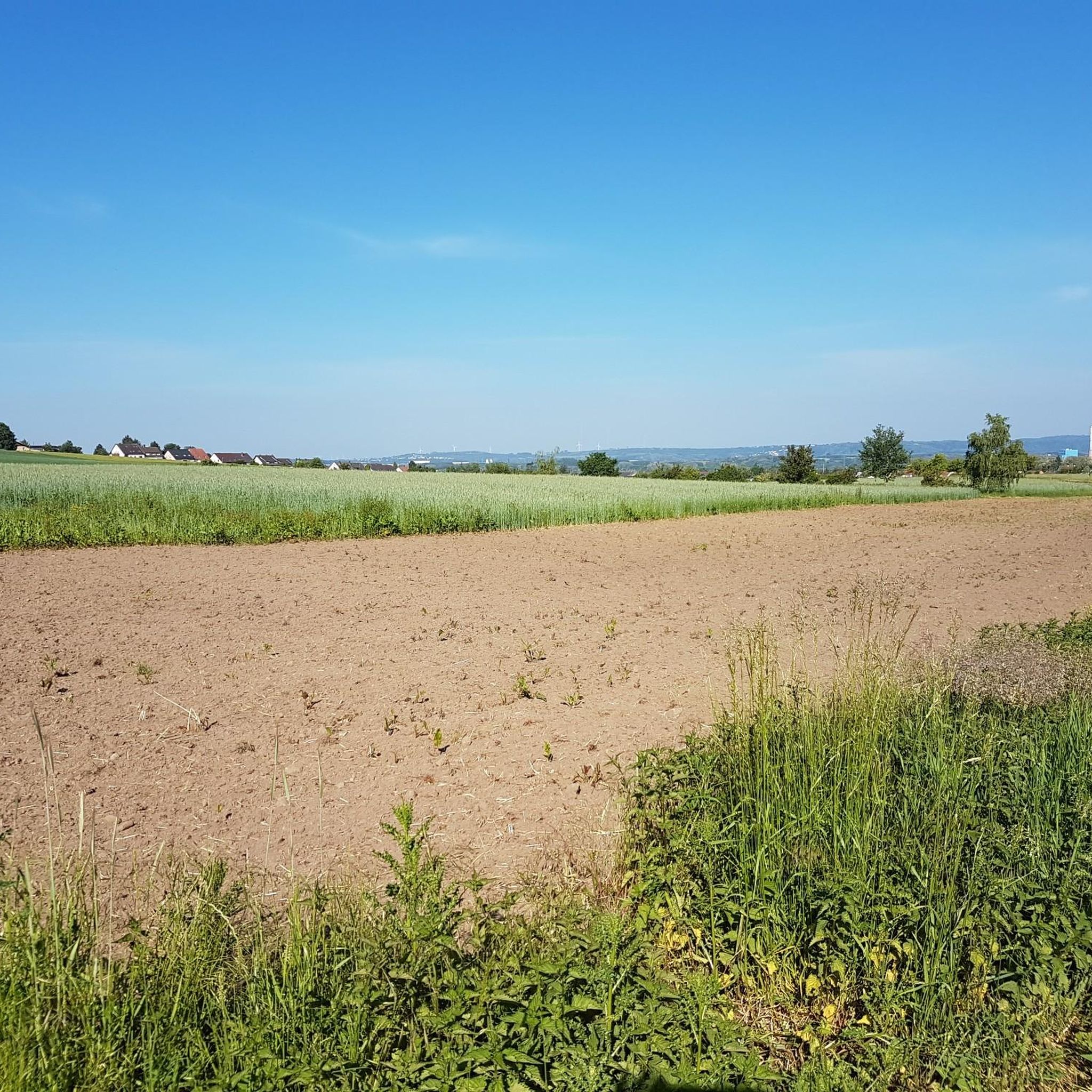
Nice round to walk almost flat
0
0
Frequently Asked Questions
What types of running routes can I find around Bous?
Bous offers a diverse range of running experiences. You'll find routes along the scenic Saar River, through extensive forests, and trails with varied elevations, including some challenging climbs that provide panoramic views. The region's well-developed trail networks cater to different preferences, from moderate riverside paths to more demanding forest trails.
Are there any easy running routes suitable for beginners in Bous?
Yes, Bous has routes suitable for beginners. Out of the 12 available running routes, 2 are classified as easy. These typically feature flatter terrain, often following the Saar River, making them ideal for those new to running or looking for a less strenuous workout.
Can I find circular running routes in the Bous area?
Many of the running routes around Bous are circular, offering convenient starting and ending points. For example, the Völklingen Ship Landing Stage loop from Bous (Saar) is a popular moderate 12 km loop along the Saar River. Another option is the Angelweiher Bous loop from Bous (Saar), an 11 km moderate loop through natural surroundings.
What are some longer or more challenging running trails near Bous?
For those seeking a challenge, Bous offers routes with significant elevation gain and longer distances. The Scenic Trail Near the Edge – View of Hülzweiler loop from Bous is a difficult 19.3 km path that provides panoramic views and includes challenging climbs, perfect for experienced runners.
Are there any running routes in Bous that are particularly scenic or offer great views?
Absolutely. The region around Bous, including the Litermont mountain range, offers routes with rewarding vistas. The Scenic Trail Near the Edge – View of Hülzweiler loop from Bous is specifically known for its panoramic views over the landscape, including Hülzweiler.
What kind of natural attractions or landmarks can I see while running around Bous?
While running around Bous, you can encounter various natural and historical landmarks. The routes often pass by the Saar River and through extensive forests. You might also find yourself near highlights such as the Warndtweiher or the Gouvysweiher. For those interested in history, the area also features historical sites like the Devil's Castle (Felsberg).
Are the running trails around Bous suitable for families?
Many of the moderate and easy routes around Bous are suitable for families, especially those along the Saar River or through less challenging forest sections. The region's commitment to accessible outdoor recreation means well-maintained paths that can be enjoyed by various age groups. Consider routes with lower elevation gain for a more family-friendly experience.
What do other runners say about the trails in Bous?
The running routes in Bous are highly rated by the komoot community, with an average score of 4.2 stars from over 650 reviews. Runners often praise the varied terrain, the beautiful natural surroundings, and the well-maintained paths that offer a great mix of riverside tranquility and forest challenges.
Can I find running routes near water bodies in Bous?
Yes, Bous is situated on the Saar River, and many running routes follow its banks, offering pleasant, generally flat paths. Additionally, the area features several lakes and ponds. For instance, the Angelweiher Bous loop from Bous (Saar) takes you through natural surroundings near a pond, providing a refreshing waterside experience.
Are there any specific running routes that offer a good mix of forest and open views?
The region around Bous is characterized by a dynamic environment with both extensive forest coverage and varying elevations. Routes like the Breitborner Floss loop from Bous offer a good combination of shaded forest paths and more open sections, allowing runners to experience both the tranquility of the woods and broader views.
What is the best time of year to go running in Bous?
Bous offers enjoyable running conditions throughout much of the year. Spring and autumn provide pleasant temperatures and beautiful scenery with blooming flora or vibrant fall colors. Summer is also suitable, especially on shaded forest trails. Winter running is possible, with the region's protected forests offering a serene environment, though conditions may vary with snow or ice.
Are there options for running routes that are easily accessible from Bous?
Yes, many routes are directly accessible from Bous. The town's location provides easy access to the Saar River paths and local trail networks. For example, the Angelweiher Bous loop from Griesborn is a moderate 5.7 km route that starts very close to Bous, offering a convenient option for a quick run.
Most popular routes around Bous
Most popular attractions around Bous

Get inspired with the komoot mobile app


Explore more
Browse the best Running Trails & Routes in other regions.
