The best running trails around Utzerath
4.3
(791)
4,051
runners
218
runs
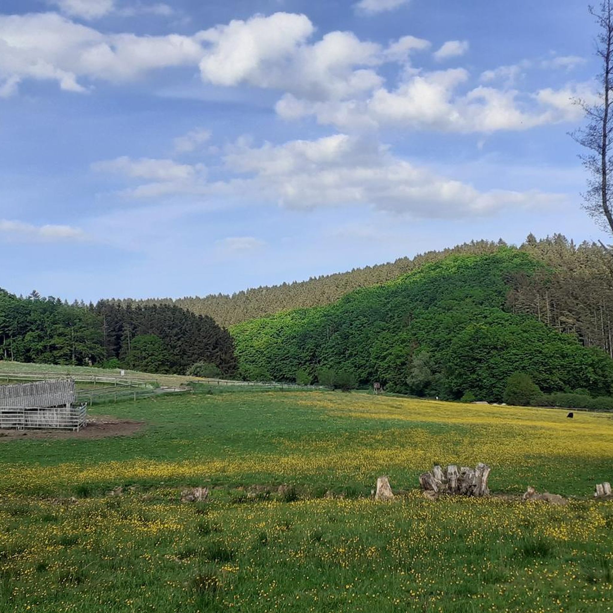
Jogging routes near Utzerath traverse a unique volcanic landscape characterized by maars, rolling hills, and extensive forests. The region's terrain offers varied elevations and tranquil stream valleys, providing diverse environments for running. Well-maintained trails cater to various fitness levels, from easy paths around volcanic lakes to more challenging routes through wooded areas. This natural setting makes Utzerath a suitable destination for outdoor activities, including running.
Best jogging routes around Utzerath
- The most popular jogging route is Ulmener Maar Tunnel – Maiden Pond loop from Ulmen, a 2.2 miles (3.6 km) trail that takes 22 minutes to complete. This route offers a scenic path around a maar and through a tunnel.
- Another top favourite among local runners is Gödderscheid Shelter loop from Darscheid, a moderate 7.1 miles (11.5 km) path. This route leads through forested areas, offering a mix of terrain and elevation.
- Local runners also love the View of the Jungferweiher – Jungfer Pond loop from Ulmen, a 3.9 miles (6.3 km) trail leading through a scenic pond landscape, often completed in about 40 minutes.
- Jogging around Utzerath is defined by volcanic maars, rolling hills, and dense forests, with routes offering varied elevations and tranquil stream valleys. The network provides options for different ability levels, from easy loops to more challenging runs.
- The routes in Utzerath are highly rated by the komoot community with an average score of 4.3 stars from over 670 reviews. More than 3600 runners have used komoot to explore Utzerath's varied terrain.
Last updated: November 9, 2026
5.0
(1)
18
runners
3.61km
00:23
30m
30m
Easy run. Mostly paved surfaces.
9
runners
11.5km
01:15
170m
170m
Moderate run. Good fitness required. Mostly runnable paths. Some sure-footedness required.

8
runners
5.51km
00:36
80m
80m
Moderate run. Good fitness required. Mostly paved surfaces.
3
runners
6.41km
00:41
60m
60m
Moderate run. Good fitness required. Mostly paved surfaces.
5.0
(1)
5
runners
8.28km
00:52
110m
110m
Moderate run. Good fitness required. Mostly paved surfaces.
Get access to more routes and recommendations from other explorers.
Already have an account?
Our route recommendations are based on thousands of hikes, rides, and runs completed by other people on komoot.
Start today with a free account
Your next adventure awaits.
Tips from the Community

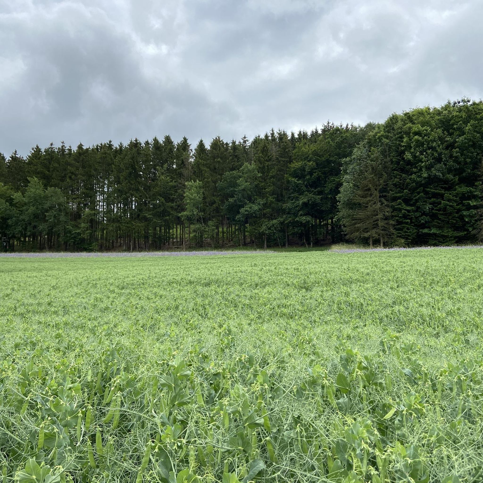
Rustic mountain hut for hikers, walkers and cyclists. The Heimatspur "Pfad der Artenvielfalt" trail passes by here.
3
0
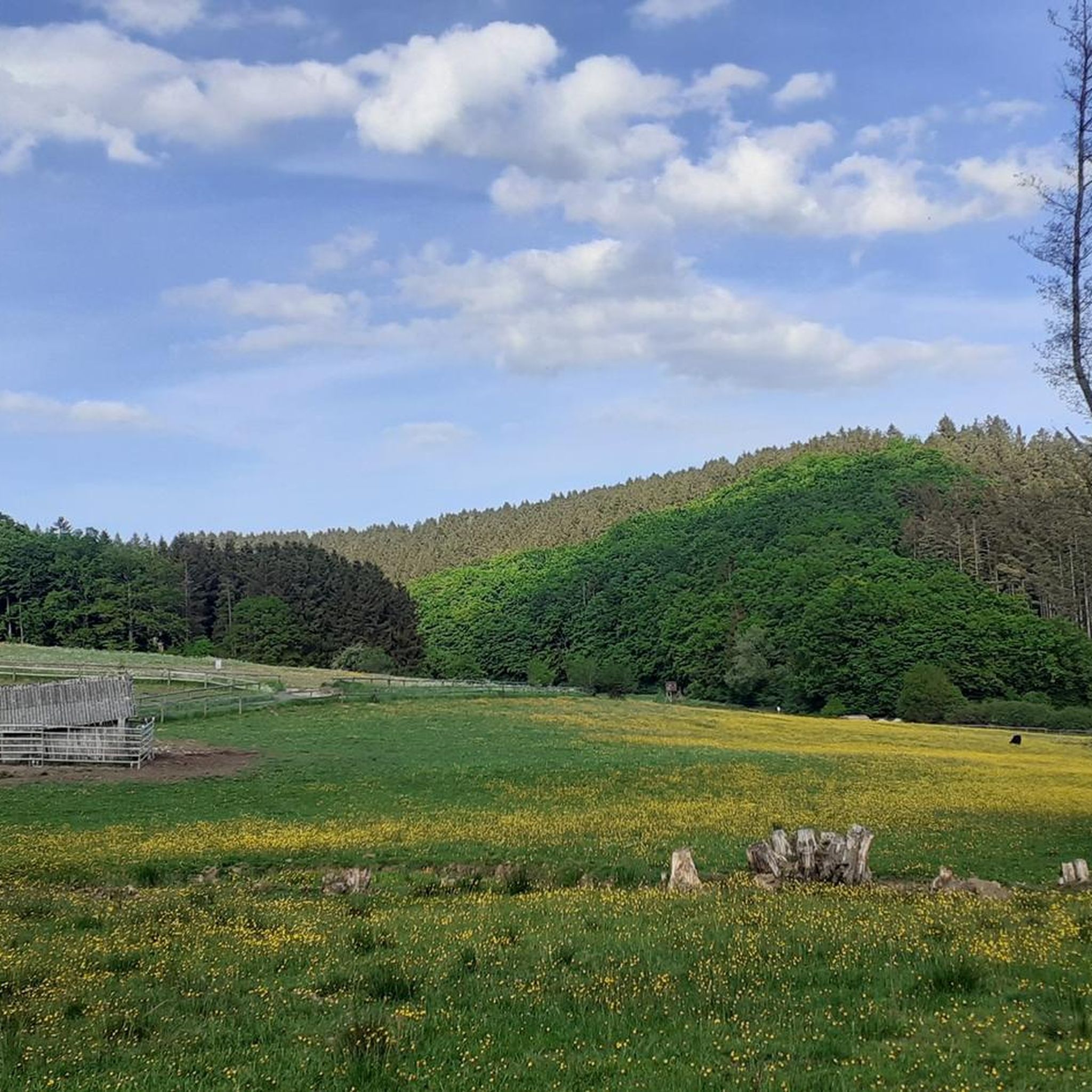
Nice starting point for various hikes. Among others, the Heimatspur Lehwaldweg.
1
0

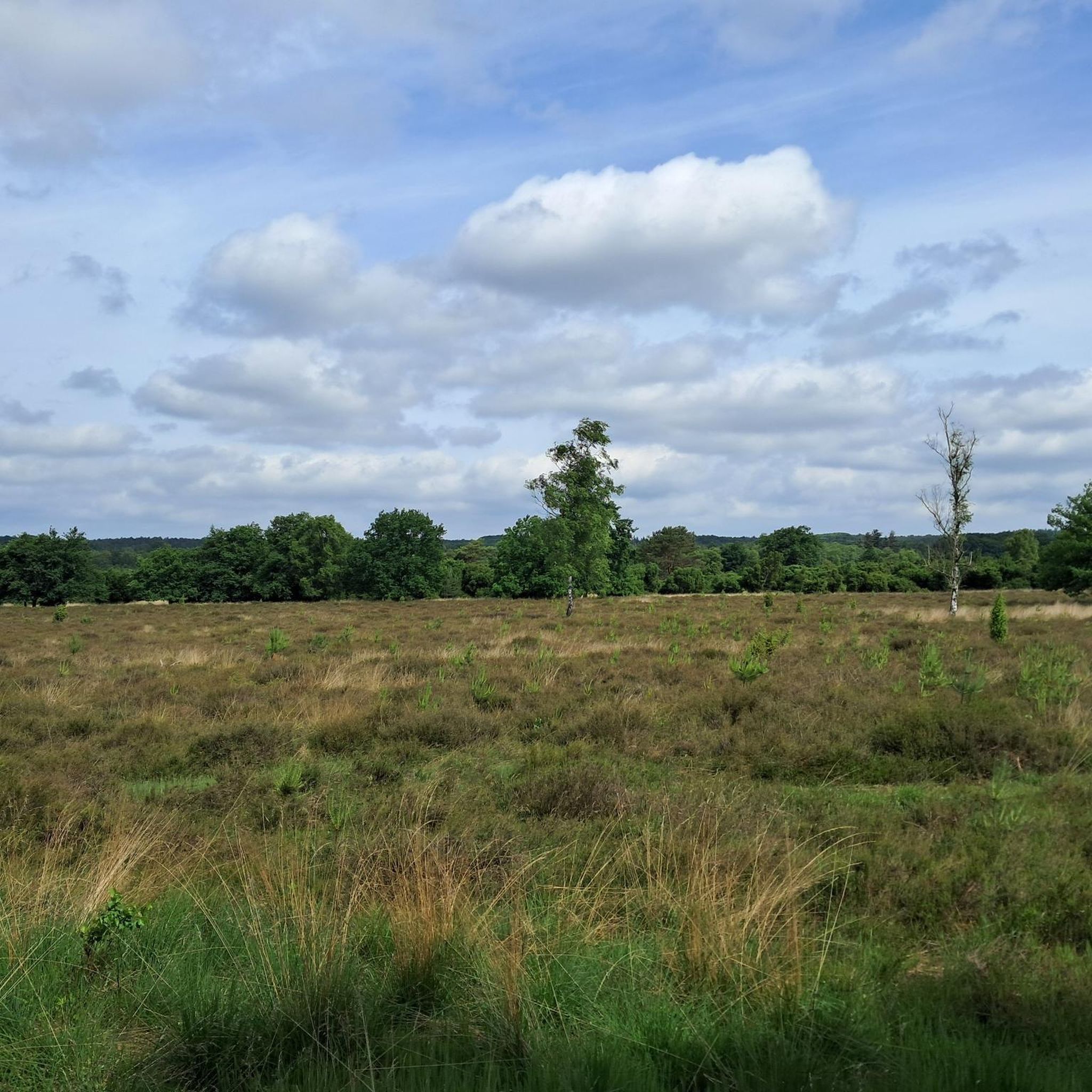
There are very beautiful and paved paths in the Eifel, away from the tourist routes.
1
0

A true paradise stretches out on the edge of the village of Ulmen on a plateau beneath the Steimelskopf, where a volcano once erupted with a tremendous bang, forming a deep crater with a maar lake, which now serves as a renowned bird sanctuary. The exact age of the Jungferweiher lake cannot be determined, but its morphological shape suggests it is several hundred thousand years old. In early modern times, the Lords of Ulmen used the lake as a fishpond for carp breeding, until it gradually silted up over time, and the residents of Ulmen harvested peat from the former maar for heating purposes. However, in 1942, the decision was made to flood the area again by damming the Ulmener Bach to secure the drinking water supply for the Cochem-Zell district. Today, the Jungferweiher lake, located at an altitude of 428 meters above sea level, covers an area of approximately 170,000 square meters with a depth of 0.8 meters. The pond, along with the Ulmener Maar, is protected for its rare flora and fauna. Many endangered species, such as the snipe and the meadow pipit, breed in the reed-rich banks, while ospreys have been observed hunting. Migratory birds such as cranes, teals, and great grey shrikes roost in the meadows near the Ulmener Jungferweiher every year. Therefore, a walk along the approximately 3-kilometer loop is a must, especially during the migration periods in spring and autumn. At the bird observatory on the western bank, you can observe the birds in their natural habitat. Nowadays, a wide variety of fish species thrive in the shallow waters of the Ulmener Weiher, which can be fished from a fishing pier on the southern bank. Swimming and other water sports are prohibited, however. Fishing permits are issued by the local municipal administration in Ulmen. Since 2023, the Ulmener Maar Tunnel has connected the Jungferweiher underground to the Ulmener Maar. A visit to the 126-metre-long tunnel is highly recommended!
7
0
1 million years of geology. Worth putting your bike aside for a moment.
6
0
The landscape reflects the geological development of millions of years.
6
0

It's a really beautiful lake
1
0

Frequently Asked Questions
How many running routes are available around Utzerath?
There are over 230 running routes around Utzerath, catering to various fitness levels. You'll find a wide selection, from easy loops to more challenging trails through the volcanic landscape.
What makes the running trails in Utzerath unique?
Utzerath's trails are unique due to the region's volcanic past, featuring picturesque maars (volcanic lakes), rolling hills, and extensive forests. Runners can experience varied elevations, tranquil stream valleys, and unique volcanic flora and fauna, making for a diverse and stimulating environment.
Are there easy running routes suitable for beginners or a relaxed jog?
Yes, Utzerath offers nearly 30 easy running routes. A great option for a relaxed jog is the Ulmener Maar Tunnel – Maiden Pond loop from Ulmen, an easy 3.6 km trail that takes about 22 minutes to complete, offering a scenic path around a maar.
What kind of terrain can I expect on the running trails?
The terrain around Utzerath is quite varied. You can expect paths around volcanic lakes (maars), through dense forests, and along tranquil stream valleys. There are also rolling hills, providing opportunities for both flat, accessible runs and more challenging routes with varied elevations.
Are there any circular running routes in the area?
Many of the running routes in Utzerath are circular, allowing you to start and end at the same point. For example, the View of the Jungferweiher – Jungfer Pond loop from Ulmen is a popular 6.3 km circular trail through a scenic pond landscape.
What do other runners enjoy most about the trails in Utzerath?
The running routes in Utzerath are highly rated by the komoot community, with an average score of 4.3 stars from over 670 reviews. Runners often praise the well-maintained trails, the diverse volcanic landscapes, and the scenic views, especially around the maars and through the forests.
Can I bring my dog on the running trails?
Many trails in the Vulkaneifel region are dog-friendly, allowing you to enjoy a run with your canine companion. However, it's always advisable to keep your dog on a leash, especially in nature reserves or near livestock, and to check specific route details for any restrictions.
Are there family-friendly running options in Utzerath?
Yes, the region offers several family-friendly running options, particularly the easier, flatter loops around the maars. These provide accessible paths for families to enjoy a jog together amidst beautiful scenery. Always check the route's difficulty and length to ensure it suits your family's needs.
What scenic views or landmarks can I see along the running routes?
You can enjoy fantastic views and natural landmarks. The Dronke Tower on the Mäuseberg offers a magnificent panorama. You might also pass by stunning volcanic lakes like the Schalkenmehrener Maar or enjoy views of the Gemündener Maar. Some routes even feature unique geological formations like the Großes Schlitzohr Tunnel.
Are there any longer or more challenging running routes?
Yes, for those seeking a greater challenge, there are 21 difficult routes and 180 moderate routes. The Rest Area 'Am Calcen' loop from Ueß is a moderate 14.15 km route with significant elevation gain, perfect for a longer, more demanding run through varied terrain.
Where can I park when visiting the running trails?
Many trailheads in the Utzerath area offer convenient parking. For instance, the hiking car park at the Waldcafe near the smallest of the Dauner Maare is a good starting point with facilities. Specific parking information is often available on individual route pages on komoot.
When is the best time of year to go running in Utzerath?
Utzerath is suitable for running year-round. Spring and autumn offer pleasant temperatures and vibrant scenery. During warmer summer months, the extensive forests and stream valleys provide welcome shade. Winter running can also be beautiful, with a different kind of tranquility, though some paths might be slippery.
Most popular attractions around Utzerath

Get inspired with the komoot mobile app


Explore more
Browse the best Running Trails & Routes in other regions.
