The best walks and hikes around Sainte-Marie-De-Chignac
4.2
(108)
749
hikers
36
hikes
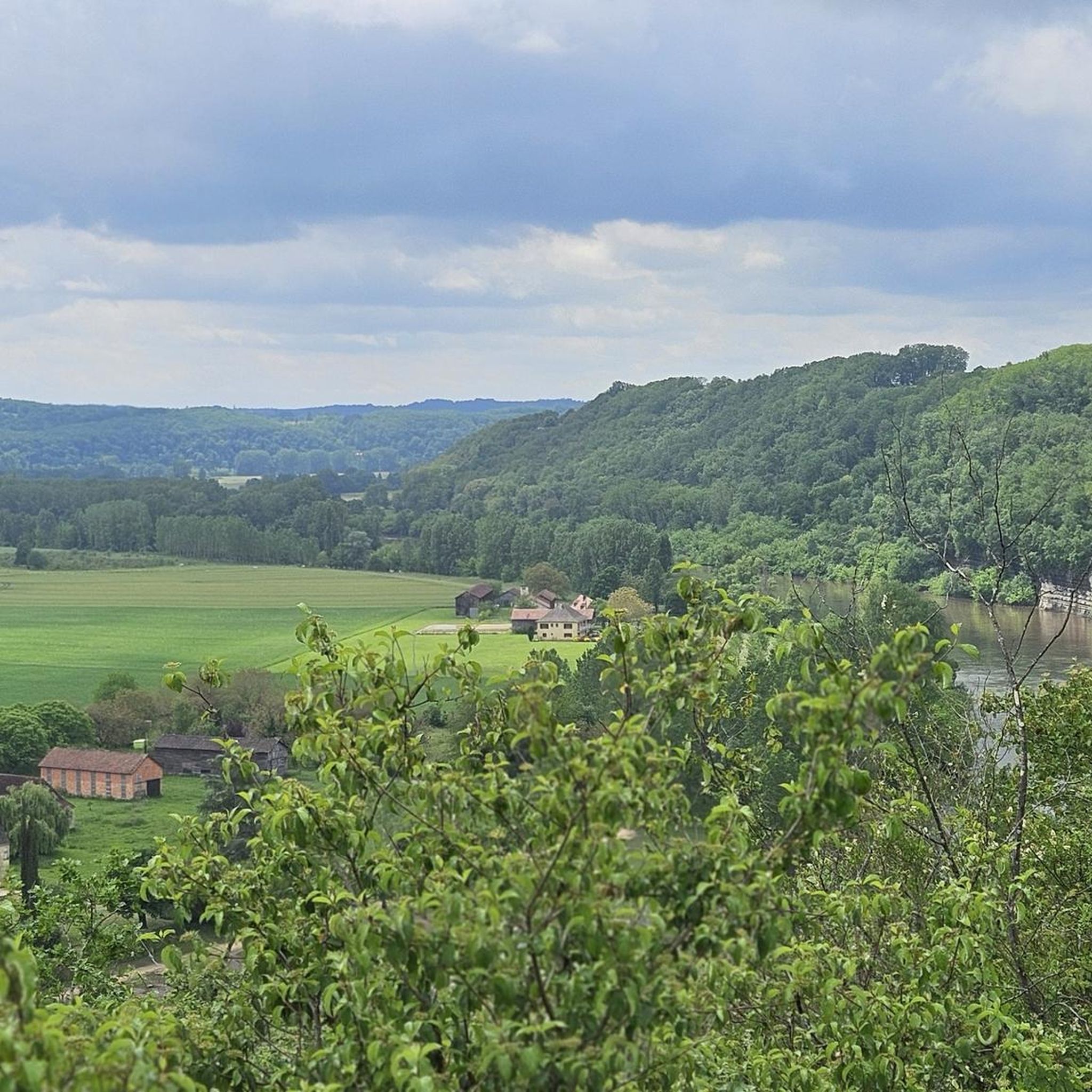
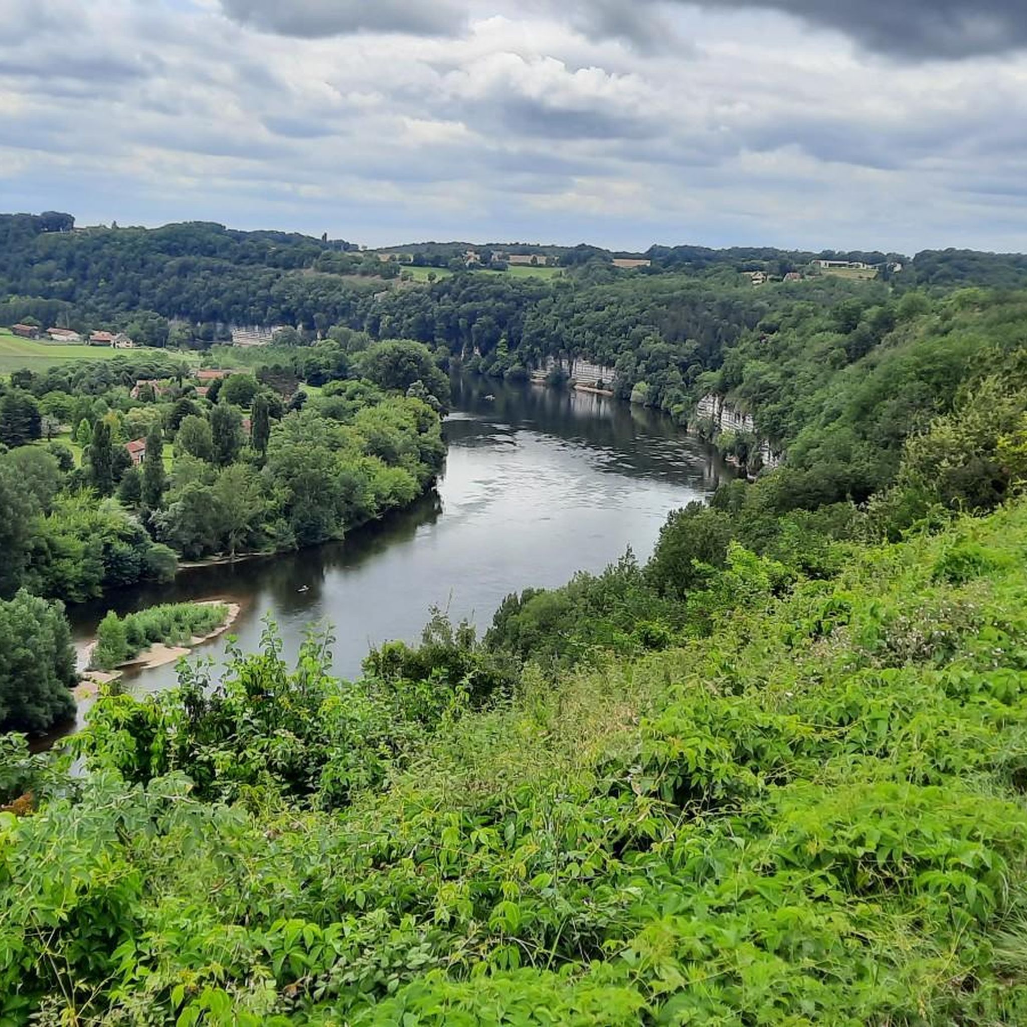
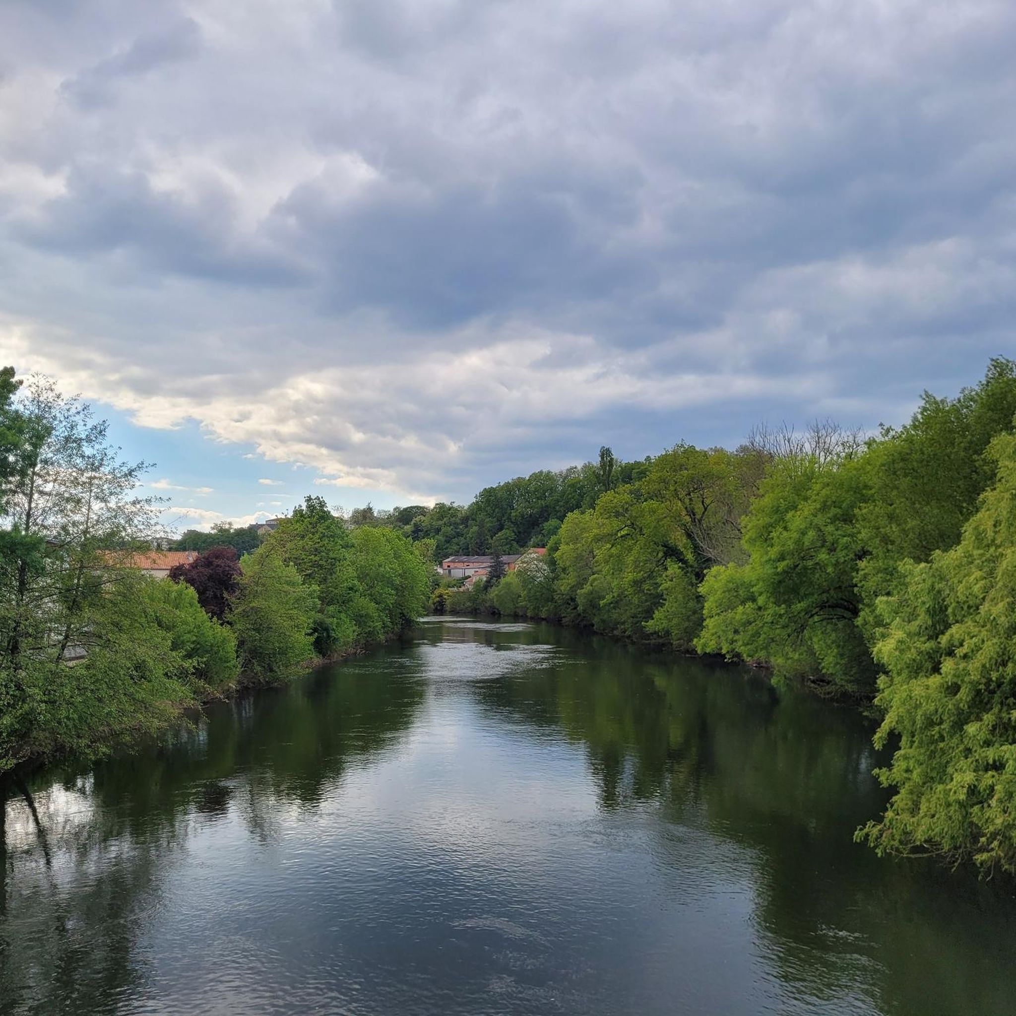
Hiking around Sainte-Marie-De-Chignac offers diverse landscapes within the Dordogne department of France. The region features a blend of limestone cliffs, lower granitic mountains, and green plains, with rivers like the Manoire and Saint-Geyrac traversing the area. Elevations range from 110 to 257 meters, providing varied terrain for exploration. Expansive forests and rolling hills characterize the broader Dordogne area, contributing to a picturesque environment for outdoor activities.
Best hiking trails around Sainte-Marie-De-Chignac
- The most popular hiking route is Hiking in the…
Last updated: October 30, 2026
3.8
(4)
27
hikers
7.84km
02:12
160m
150m
Moderate hike. Good fitness required. Easily walkable paths.
4.1
(8)
23
hikers
15.0km
04:09
260m
260m
Moderate hike. Good fitness required. Easily walkable paths.

4.8
(6)
14
hikers
10.4km
02:56
220m
220m
Moderate hike. Good fitness required. Easily walkable paths.
5.0
(2)
42
hikers
8.30km
02:06
20m
20m
Moderate hike. Good fitness required. Easily walkable paths.
4.0
(2)
8
hikers
6.01km
01:36
60m
60m
Easy hike. Easily walkable paths.
Get access to more routes and recommendations from other explorers.
Already have an account?
Our route recommendations are based on thousands of hikes, rides, and runs completed by other people on komoot.
Start today with a free account
Your next adventure awaits.

Tips from the Community

Bench and trash can at a street intersection.
0
0
Picnic spot with benches and tables
0
0

12th century cathedral
1
0

Beautiful small lake with water lilies
2
0

Why Choose the Boucle de Caussade? For the diversity of landscapes: The hike offers an excellent overview of the typical landscapes of the Périgord, with varied panoramas and an immersion in nature. For the cultural experience: The route allows you to discover the local heritage and immerse yourself in the rural life of the region. For a pleasant outdoor activity: The loop is suitable for intermediate hikers and offers an enriching outdoor experience, ideal for a half-day getaway. The Boucle de Caussade is therefore an excellent option for hiking enthusiasts and nature lovers, offering a great opportunity to discover the charms of the Périgord while enjoying an outdoor physical activity.
1
0
The Boucle de Caussade is a scenic hike that takes place in the Périgueux region of the Dordogne. It is a popular route among outdoor enthusiasts due to its varied landscapes, local history and panoramic views. Points of Interest on the Boucle de Caussade: Hiking Route: Varied Route: The Boucle de Caussade offers a circuit that mixes forest paths, dirt roads and small roads. The route is generally well marked, offering a pleasant experience through typical Périgord landscapes. Distance and Duration: The route is approximately 10 to 15 kilometers, depending on the variants chosen. The duration of the hike can vary between 3 and 4 hours, depending on the pace and stops. Landscapes and Nature: Panoramas: The hike offers superb views of the green hills, valleys and fields typical of the Périgord. You will enjoy bucolic landscapes and open views that vary with the seasons. Flora and fauna: The route passes through wooded areas and meadows, allowing you to observe the local fauna and varied flora. Depending on the season, you may see wild flowers, birds and perhaps even animals such as deer. Historical and cultural points: Local heritage: Along the way, you will discover elements of local heritage, such as traditional farms, water mills and historic buildings that bear witness to the agricultural past of the region. Caussade: The village of Caussade, crossed by the loop, is a point of interest in itself. It is typical of the villages of the Périgord, with its stone houses and its tranquil atmosphere. Additional activities: Photography: The varied landscapes and panoramic views offer many opportunities for photography. Picnic: It is recommended to bring a picnic to enjoy the green spaces and rest areas along the route.
1
0
The Pont des Barris, located in Périgueux, is one of the city's emblematic bridges. This stone bridge, which crosses the Isle River, connects the two banks of Périgueux and is part of the historic urban landscape. Points of interest of the Pont des Barris: Architecture and History: The Pont des Barris is a beautiful example of traditional stone architecture. It was built in the 19th century to replace old wooden bridges that once allowed people to cross the Isle. Its solid structure makes it an essential crossing point between the different districts of the city. It is made up of several stone arches, which give it both robustness and elegance. View of Périgueux: From the bridge, you can enjoy a magnificent view of the old town of Périgueux, including the Saint-Front Cathedral, whose domes dominate the skyline. The bridge is also a great vantage point to admire the Isle River, which meanders peacefully through the city. Access to the Isle Riverbanks: The Pont des Barris provides easy access to the Isle Riverbanks, which are ideal for walking or cycling. Along the river, many paths offer picturesque views of the city and surrounding nature. Place of Passage: This bridge is a central axis for residents and visitors of Périgueux, connecting the city center to the outlying districts and facilitating access to important sites such as markets, shops, and residential areas. Why go there? The Pont des Barris is both a strategic point for exploring Périgueux and a place offering superb panoramic views of the city. Its charm lies in its historic architecture and its central location, making it an essential passage for any visit to the city. Whether strolling along the river or crossing the town, it embodies one of the peaceful and picturesque symbols of Périgueux.
1
0
Frequently Asked Questions
How many hiking trails are available around Sainte-Marie-De-Chignac?
There are over 20 hiking routes around Sainte-Marie-De-Chignac, offering diverse experiences. The broader Grand Périgueux area, which includes Sainte-Marie-De-Chignac, boasts an extensive network of over 1000 kilometers of marked trails.
What types of terrain can I expect on hikes in this region?
The region features a varied topography, including limestone cliffs, lower granitic mountains, green plains, and expansive forests. Trails often wind through woods, across limestone plateaus (causses), and along river valleys carved by the Manoire and Saint-Geyrac streams.
Are there any easy, family-friendly hiking options?
Yes, there are 8 easy routes suitable for families or those seeking a leisurely stroll. An example is the Pont des Barris – Saint-Front Cathedral loop from Périgueux-Saint-Georges, an easy 7.1 km path that explores urban and historical scenery.
What are some notable landmarks or attractions I can see while hiking?
Many trails offer access to historical and natural sights. You might encounter the Pont des Barris, the impressive Saint-Front Cathedral, or explore the Périgueux City Center. The region is also known for its charming villages and castles, which can be integrated into longer itineraries.
Are there any circular walks available?
Yes, many routes in the area are designed as loops. For instance, the Descent from the rat's cross – Caussade Loop loop from Trélissac is a moderate 15 km circular trail leading through varied terrain.
What do other hikers enjoy most about the trails around Sainte-Marie-De-Chignac?
The trails are highly rated by the komoot community, with an average score of 4.3 stars from over 60 reviews. Hikers often praise the diverse landscapes, from quiet woodlands to river valleys, and the well-maintained paths that offer a blend of natural beauty and historical interest.
What is the best season for hiking in Sainte-Marie-De-Chignac?
The Dordogne region is beautiful year-round. Spring and autumn offer pleasant temperatures and vibrant colors, making them ideal for hiking. Summer can be warm, but shaded forest trails provide relief. Winter hiking is also possible, with fewer crowds and a different kind of serene beauty.
Are there any trails that offer good viewpoints?
While specific viewpoints are not detailed for every trail, the varied topography with elevations ranging from 110 to 257 meters, including limestone cliffs and rolling hills, suggests many routes will offer scenic vistas over the green plains and river valleys of the Dordogne.
Can I find trails that pass through forests or natural green spaces?
Absolutely. The broader Dordogne area is characterized by expansive forests and rolling hills. Many trails, such as Hiking in the Le Change countryside, traverse rural landscapes and dense woodlands, providing a refreshing natural experience.
Are there any trails that explore the historical elements of the region?
Yes, the region is rich in history. Trails often lead to historical sites like the Durestal scrubland or reveal typical local features such as ancient fountains and wash houses. The Vézère Valley, a UNESCO World Heritage site known for its prehistoric cave paintings, is also accessible via several easy hiking routes nearby.
What is the typical duration for a moderate hike in this area?
Moderate hikes vary in length and duration. For example, the Hiking in the Le Change countryside, a 7.8 km moderate trail, typically takes about 2 hours and 12 minutes to complete. Longer moderate routes, like the 15 km Descent from the rat's cross – Caussade Loop loop from Trélissac, can take around 4 hours and 9 minutes.
Are there any trails near water features like rivers or streams?
Yes, the Manoire river and its tributary, the Saint-Geyrac stream, traverse the area around Sainte-Marie-De-Chignac. Many trails follow these river valleys, offering tranquil routes and picturesque views of the water. The Dordogne Valley itself is known for its rivers and gorges.
Most popular routes around Sainte-Marie-De-Chignac
Most popular attractions around Sainte-Marie-De-Chignac

Get inspired with the komoot mobile app


Explore more
Browse the best Hikes in other regions.
