The best road cycling routes around La Chapelle-Du-Bourgay
4.6
(82)
2,748
riders
240
rides
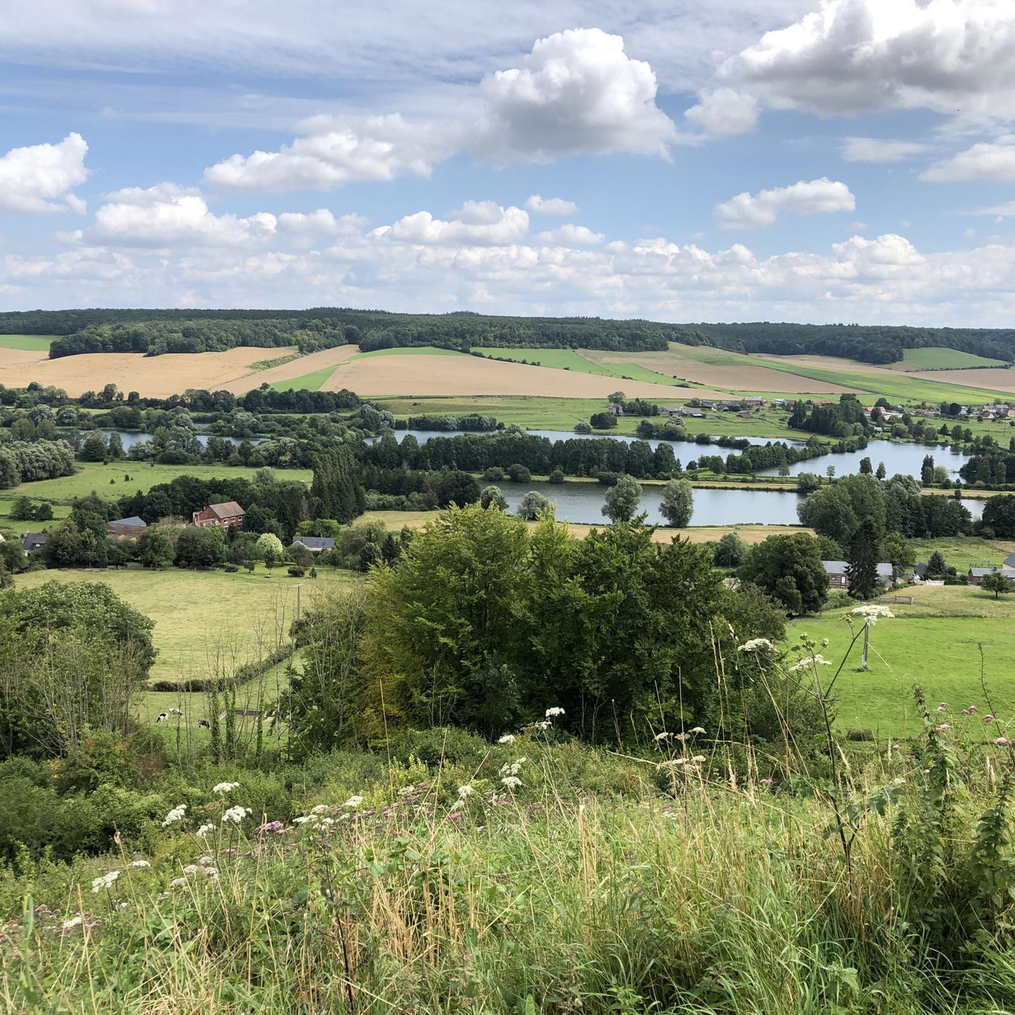
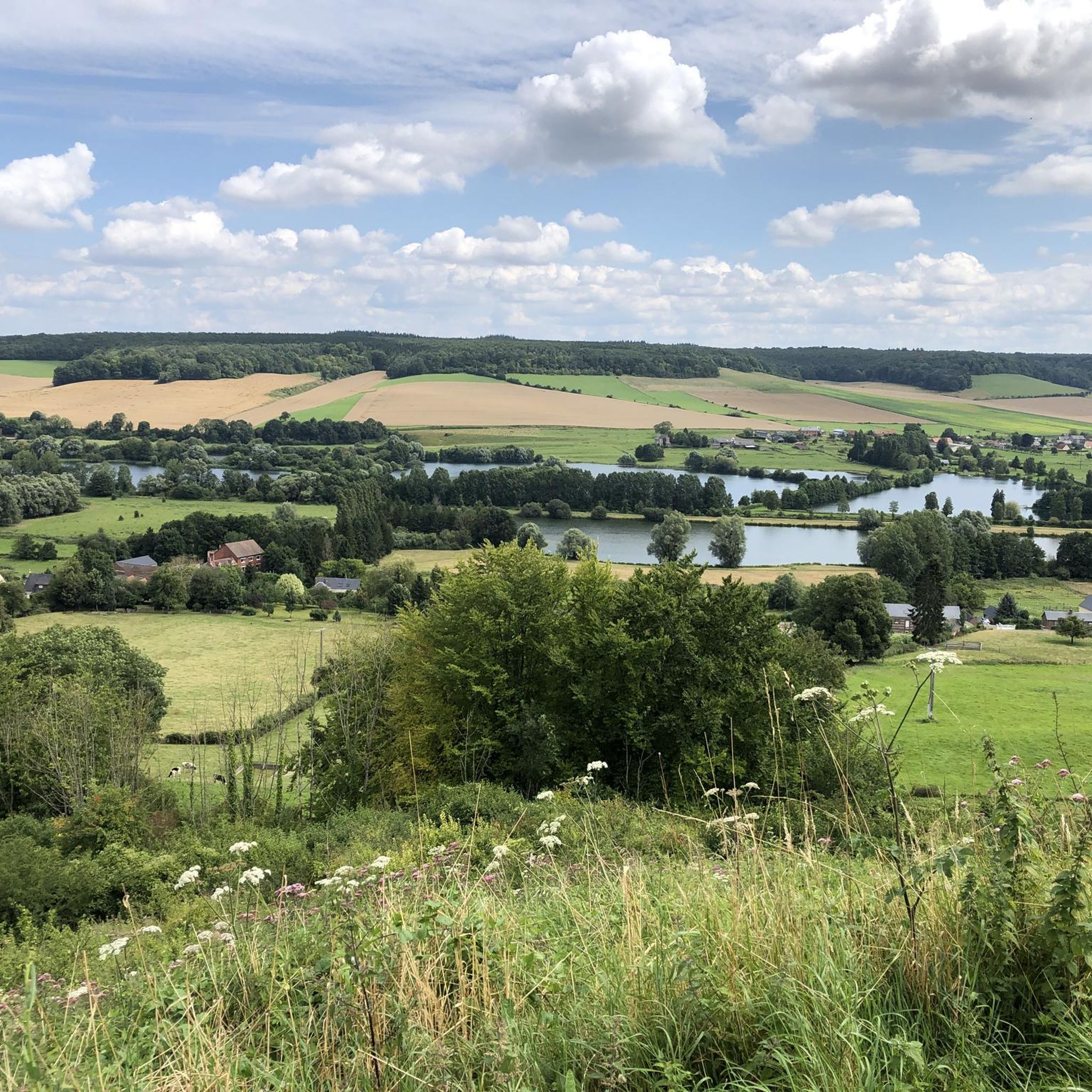
Road cycling routes around La Chapelle-Du-Bourgay traverse the undulating countryside of the Pays de Caux in the Seine-Maritime department of Normandy. The terrain features a mix of plains, hilly pastures, and forests, with altitudes ranging from 67 to 143 meters, providing varied gradients for cyclists. The region is characterized by quiet country lanes and river valleys, such as the Varenne River, offering diverse landscapes for road cyclists.
Best road cycling routes around La Chapelle-Du-Bourgay
- The most popular road cycling route…
Last updated: August 6, 2026
5.0
(1)
17
riders
123km
05:24
1,130m
1,130m
Hard road ride. Very good fitness required. Mostly well-paved surfaces and easy to ride.
14
riders
48.1km
02:03
340m
340m
Moderate road ride. Good fitness required. Mostly well-paved surfaces and easy to ride.

Sign up for free
13
riders
119km
05:23
1,210m
1,210m
Hard road ride. Very good fitness required. Some segments of this route may be unpaved and difficult to ride.
5.0
(1)
15
riders
10.7km
00:32
120m
120m
Easy road ride. Great for any fitness level. Mostly well-paved surfaces and easy to ride.
12
riders
Moderate road ride. Good fitness required. Mostly well-paved surfaces and easy to ride.
Get access to more routes and recommendations from other explorers.
Sign up for free
Already have an account?
Our route recommendations are based on thousands of hikes, rides, and runs completed by other people on komoot.
Start today with a free account
Your next adventure awaits.
Login or Signup

Tips from the Community

A small bridge provides access to the Source campsite, and the "La Scie" River also passes through it. It is located very close to the Véloroute du Lin (about 50 meters away) in "Le Plessis" (municipality of Hautot-sur-Mer). You can also use it to reach the Canadian Cemetery, which is 1.5 kilometers from the bridge. Several picnic tables are located around the bridge.
1
0

A former fortress, now a museum and open-air attraction. From up there, you'll enjoy a fantastic view of the city.
8
0

This Saint-Crespin church is tiny for a tiny village. The town hall is tiny too. They are located right next door, like a vestige of blessed times gone by.
1
0
The church of Saint-Pierre, in Longueville-sur-Scie, in Seine-Maritime, in Normandy, is attached to the parish of Saint-Pierre de Bacqueville – Vienne et Scie, in the deanery of Pays de Caux in the diocese of Rouen.
1
0
Here, the port of Dieppe provides the famous seafront lawns. Very pleasant for picnics in the summer months.
1
0

Nice little town, with the cliffs worth a visit.
0
0
Beautiful cliffs, rewarding views
0
0
Frequently Asked Questions
What is the general terrain like for road cycling around La Chapelle-Du-Bourgay?
The region offers a varied terrain, characteristic of the Pays de Caux in Normandy. You'll find a mix of undulating roads, quiet country lanes, plains, hilly pastures, and forests. Altitudes range from 67 to 143 meters, providing diverse gradients suitable for various cycling preferences.
How many road cycling routes are available in the La Chapelle-Du-Bourgay area?
There are over 250 road cycling routes available around La Chapelle-Du-Bourgay, catering to different skill levels and preferences. This includes 54 easy routes, 182 moderate routes, and 19 more challenging options.
What kind of difficulty levels can I expect on the road cycling routes?
The routes around La Chapelle-Du-Bourgay offer a range of difficulty levels. You can find easy rides, such as the Mongolian Yurt – Rural Cottage loop from Longueville-sur-Scie, which is 10.5 km long. There are also numerous moderate routes, like the 48.1 km Muchedent Canadian Park loop from Martigny, and some more difficult options for experienced cyclists.
Are there any family-friendly road cycling options in the area?
Yes, the region offers routes suitable for families and casual cyclists. The undulating countryside includes flatter sections and dedicated cycle paths, particularly along parts of the Véloroute du Lin and the Avenue Verte London-Paris, which are generally well-surfaced and accessible.
What landmarks or points of interest can I see while road cycling around La Chapelle-Du-Bourgay?
You can incorporate several cultural and historical stops into your rides. Notable attractions include the local Château de La Chapelle-du-Bourgay, the historic Arques-la-Bataille Castle, and the picturesque Château de Miromesnil. Some routes also pass by the View of Château de Longueville and the Lake.
What do other road cyclists enjoy most about road cycling in La Chapelle-Du-Bourgay?
The area is highly rated by the komoot community, with an average score of 4.3 stars from over 60 reviews. Cyclists often praise the quiet country lanes, the varied landscapes of the Pays de Caux, and the mix of plains, hilly pastures, and forests that make for scenic and engaging rides.
Are there specific routes that offer coastal views or river valley scenery?
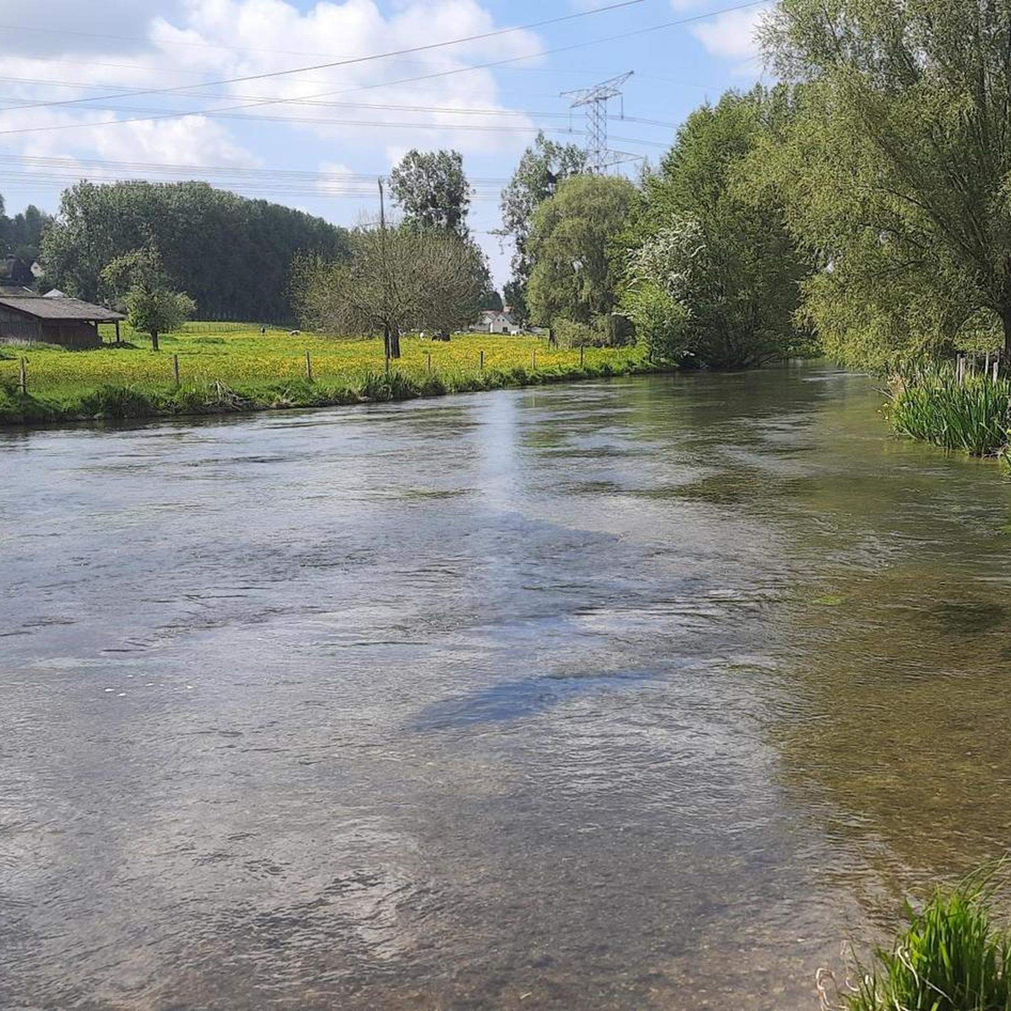
While La Chapelle-du-Bourgay is inland, its proximity to the coast means sections of the Vélomaritime (EuroVelo 4) offer stunning sea views. Inland, routes like the Small bridge over the Scie loop from Martigny provide views of the Scie river valley, and the region overlooks the Varenne River valley, offering picturesque riverside scenery.
What are some longer road cycling routes for experienced cyclists?
For those seeking longer rides, the Small bridge over the Scie loop from Martigny is a moderate 82.6 km path that offers a substantial challenge. The region's network also connects to longer regional itineraries like the Véloroute du Lin, which can be combined for extended tours.
Where can I find parking for road cycling routes near La Chapelle-Du-Bourgay?
As a rural commune, parking is generally available in the villages and towns that serve as starting points for routes, such as Martigny or Longueville-sur-Scie. Specific parking details may vary by route, so it's advisable to check local information for your chosen starting point.
Are there cafes or places to stop for refreshments along the routes?
The charming rural landscapes of Normandy often feature small villages and towns where you can find local cafes, bakeries, or small shops for refreshments. Larger towns like Dieppe, approximately 13 km away, offer more extensive amenities. Planning your route with komoot can help identify potential stops.
What is the best time of year to visit La Chapelle-Du-Bourgay for road cycling?
The undulating countryside of Normandy is described as a 'true idyll for cyclists,' suggesting pleasant conditions during spring, summer, and early autumn. These seasons typically offer mild weather, making them ideal for enjoying the region's diverse landscapes and quiet country lanes.
Are there any circular road cycling routes available?
Yes, many of the routes in the area are designed as loops, allowing you to start and finish in the same location. Examples include the Muchedent Canadian Park loop from Martigny and the Dieppe Ferry Port – Château d'Arques-la-Bataille loop from Torcy-le-Grand, offering convenient options for exploration.
Most popular routes around La Chapelle-Du-Bourgay
Most popular attractions around La Chapelle-Du-Bourgay

Get inspired with the komoot mobile app


Explore more
Browse the best Road cycling routes in other regions.
