The best mountain hikes in Landkreis Trier-Saarburg
4.6
(55)
130
hikers
6
hikes
Mountaineering routes in Landkreis Trier-Saarburg traverse a diverse landscape shaped by the Eifel and Hunsrück regions, and the Mosel, Saar, Ruwer, Kyll, and Sauer rivers. The area features numerous elevated natural features, including 178 named mountains, and rugged terrain. Challenging hikes explore deep gorges, dramatic river valleys, and unique rock formations. This topography provides varied opportunities for demanding ascents and scenic exploration.
Best mountaineering routes in Landkreis Trier-Saarburg
- The most popular mountaineering route is Labyrinth Rock Formations – Huel Lee…
Last updated: October 5, 2026
4.6
(17)
41
hikers
13.7km
03:50
250m
250m
Moderate mountaineering route. Good fitness required. Easily-accessible paths. Suitable for all skill levels.
5.0
(6)
14
hikers
7.42km
02:18
190m
190m
Moderate mountaineering route. Good fitness required. Mostly accessible paths. Sure-footedness required.

4.7
(3)
13
hikers
19.8km
05:47
420m
420m
Hard mountaineering route. Very good fitness required. Mostly accessible paths. Sure-footedness required.
4.8
(4)
9
hikers
12.8km
03:55
400m
400m
Hard mountaineering route. Good fitness required. Sure-footedness, sturdy shoes and alpine experience required.
4.8
(4)
8
hikers
9.67km
03:00
340m
340m
Hard mountaineering route. Good fitness required. Sure-footedness, sturdy shoes and alpine experience required.
3.0
(1)
2
hikers
8.78km
02:46
320m
320m
Moderate mountaineering route. Good fitness required. Mostly accessible paths. Sure-footedness required.
Our route recommendations are based on thousands of hikes, rides, and runs completed by other people on komoot.
Start today with a free account
Your next adventure awaits.
Popular around Landkreis Trier-Saarburg

Mountain Hikes around Ralingen

Mountain Hikes around Welschbillig

Mountain Hikes around Trierweiler
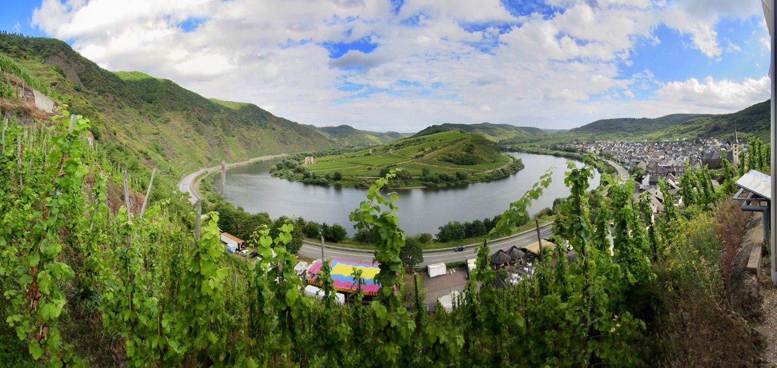
The Moselle cycle path — from the Vosges to the Rhine in 18 stages

Saar-Hunsrück Climb – Hike in Germany where culture and nature meet
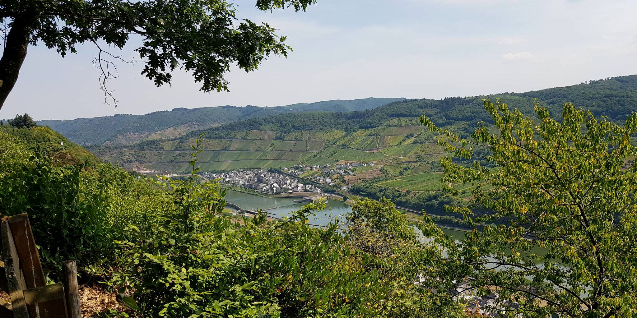
Moselcross — Riding from Trier to Koblenz
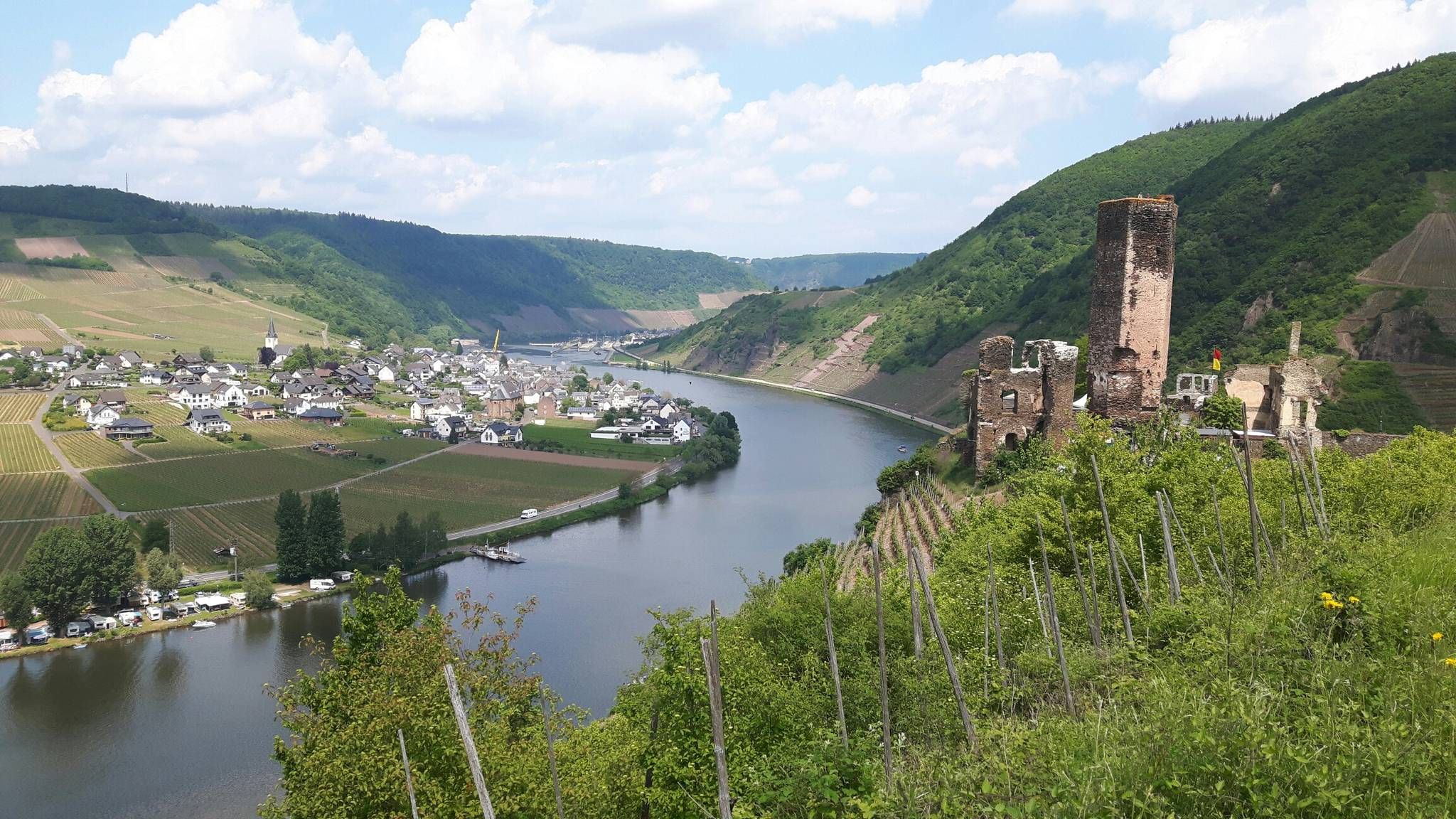
The Moselsteig trail – 24 stages along the sunny Moselle Valley
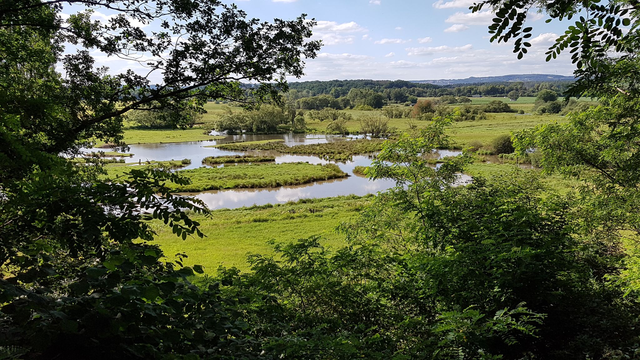
The National Natural Landscapes in Saarland
The National Natural Landscapes in Rheinland-Pfalz
Dream Loops with great views in the Hunsrück
Other adventures in Landkreis Trier-Saarburg


Tips from the Community

The amphitheater "Breechkaul" was established in 1979 in a rock hollowed out in the Middle Ages for the extraction of millstones. In summer, well-attended concerts of all kinds are held there. Known and loved far beyond the borders is the "Berdorfer Hubertusmesse" (Haupeschmass) on the first Sunday after November 2nd at 10:45 AM. (Regio Mullerthal)
4
0
The original wooden structure was washed away by heavy floods in June 2018. A new, flood-safe bridge of approximately 38 meters has now been installed.
4
0

Beautiful small stone towers that hikers leave there.
0
0

Beautiful view. Rough rock formations that hike is really worth it.
0
0

The proud four-towered basilica is a symbol of the "Heavenly Jerusalem", a sign of God's mysterious presence on Earth.
0
0
Rocks and rock labyrinths can be found in abundance in the Müllerthal region.
0
0

Teufelsschlucht and its gorges are very worth seeing.
0
0

Steep steps lead down to the Devil's Gorge! The descent is well worth it! Hiking into the gorge is simply breathtaking!
2
0
Frequently Asked Questions
What kind of mountaineering challenges can I expect in Landkreis Trier-Saarburg?
Landkreis Trier-Saarburg offers a range of challenges, from moderate ascents to difficult routes through rugged terrain. You'll find elevated peaks, deep gorges, and unique rock formations. For a challenging experience, consider the Rock gorge – View of Echternach loop from Echternach, which leads through a demanding rock gorge.
Are there any circular mountaineering routes in the region?
Yes, many of the mountaineering routes in Landkreis Trier-Saarburg are designed as circular loops, allowing you to start and end at the same point. An example is the Labyrinth Rock Formations – Huel Lee (Hohllay Cave) loop from Echternach, a moderate trail exploring distinctive rock formations.
What are some notable natural features or rock formations to see on these routes?
The region is rich in unique rock formations. You can explore the dolomite rock formations along the Upper Mosel, such as those near Nitteler Fels, or the grandiose Bundsandstein formations. A specific route that highlights these features is the Rock Passage in the Eifel – Rock Passageway loop from Ernzen, which explores a notable rock passageway.
Can I find routes that include caves or historical sites?
Absolutely. Landkreis Trier-Saarburg features several routes that pass by fascinating caves and historical sites. For instance, the Genoveva Cave – Klausen Cave (Hermit's Cave) loop from Hochburg takes you past both the Genoveva Cave and the Klausen Cave (Hermit's Cave). You can also find the Roman copper mine and quarry Pützlöcher in the area.
Are there any routes with panoramic viewpoints?
Many routes in Landkreis Trier-Saarburg offer extensive views, especially from the elevated peaks. The Bockstein Summit, for example, is known for its panoramic vistas. The Orkelsfels – Saarschleife / Cloef loop from Orscholz provides stunning views, including the famous Saarschleife (Saar Loop) from the Cloef viewpoint.
What do other mountaineers say about the routes in Landkreis Trier-Saarburg?
The mountaineering routes in Landkreis Trier-Saarburg are highly rated by the komoot community, with an average score of 4.6 stars from over 40 reviews. Mountaineers often praise the varied terrain, the dramatic gorges, and the unique rock formations that define the region's trails.
Are there any routes that are particularly suitable for families?
While many routes offer challenging terrain, some are more accessible for families looking for a less strenuous experience. The region's diverse landscape includes trails that are moderate in difficulty and shorter in duration, allowing for enjoyable family outings. Always check the route details for specific difficulty and length to ensure it suits your family's needs.
Can I bring my dog on the mountaineering routes?
Many trails in Landkreis Trier-Saarburg are dog-friendly, allowing you to enjoy the natural beauty with your canine companion. However, it's always recommended to check specific route regulations and local signage, especially in nature reserves, and to keep your dog on a leash for their safety and to protect wildlife.
Are there any routes that pass by waterfalls?
Yes, the region features areas with waterfalls, such as the Butzerbachtal, which is known for its scenic beauty. You can also find the Leukbach Waterfall in Saarburg Old Town, which can be a point of interest near some routes.
What is the best time of year for mountaineering in Landkreis Trier-Saarburg?
The region offers rewarding experiences throughout much of the year. Spring and autumn are particularly popular due to pleasant temperatures and vibrant foliage. While winter mountaineering is possible, some trails may be more challenging due to snow or ice, so checking conditions beforehand is advisable.
How many mountaineering routes are available in Landkreis Trier-Saarburg?
There are several mountaineering routes available in Landkreis Trier-Saarburg, with a total of 7 routes listed in this guide. These include a mix of moderate and difficult trails, ensuring options for various skill levels.
Are there any routes that explore nature reserves or unique ecosystems?
Landkreis Trier-Saarburg is home to several nature reserves protecting unique habitats. Areas like Gillenbachtal, known for orchids, and Rechberg bei Olk, with its calcareous grasslands, offer opportunities to explore diverse ecosystems. The Wiltinger Saarbogen also provides a largely natural section of the Lower Saar river. While specific routes through all reserves aren't listed, many trails traverse these protected landscapes.
Are there any less-known or 'hidden gem' routes for mountaineering?
Beyond the most popular trails, the region offers many lesser-known paths that provide tranquil experiences. The 'Pfad der Stille' (Path of Silence) is an example of a trail designed for quiet walks through forests. Exploring routes like the Genoveva Cave – Klausen Cave (Hermit's Cave) loop from Butzweiler can lead you to serene natural settings away from the busiest spots.
Most popular routes in Landkreis Trier-Saarburg
Most popular attractions in Landkreis Trier-Saarburg

Get inspired with the komoot mobile app


Didn’t find what you were looking for?
Check out more Mountain Hikes & Routes throughout Landkreis Trier-Saarburg below and find the perfect route in your destination.
Explore more
Browse the best Mountain Hikes & Routes in other regions.
