The best mountain hikes around Spirkelbach
4.8
(13)
63
hikers
10
hikes
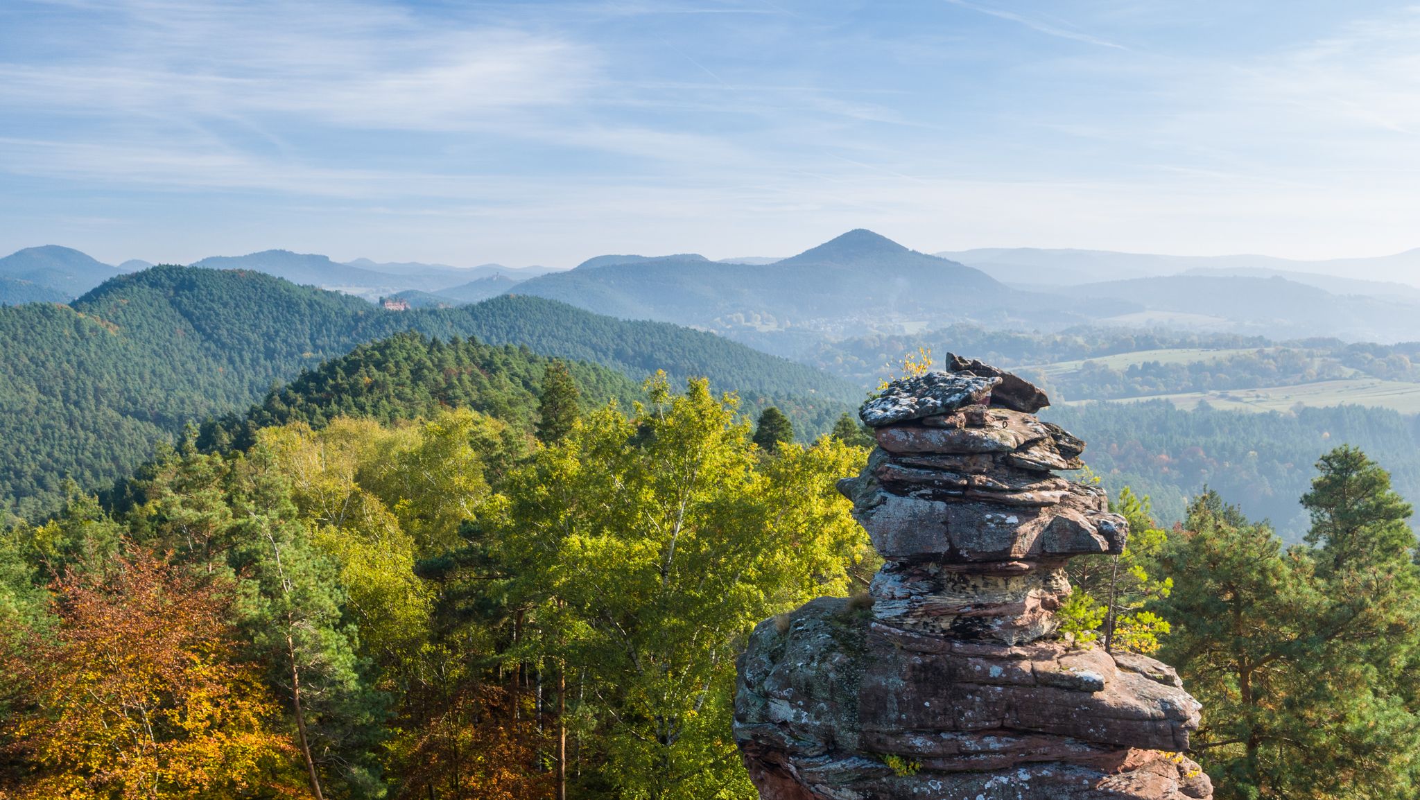
Mountaineering routes around Spirkelbach are situated within the Palatinate Forest, a region characterized by its distinctive red sandstone rock formations, dense woodlands, and rolling hills. The terrain offers a mix of challenging ascents and scenic paths through valleys and along ridge lines. This area is known for its unique rock features and extensive forest cover, providing varied conditions for mountaineering.
Best mountaineering routes around Spirkelbach
- The most popular mountaineering route is View of Dahn – Elwetritsche Rock loop from Dahn…
Last updated: October 5, 2026
5.0
(3)
20
hikers
12.9km
03:53
270m
270m
Moderate mountaineering route. Good fitness required. Mostly accessible paths. Sure-footedness required.
4.0
(4)
8
hikers
Hard mountaineering route. Very good fitness required. Mostly accessible paths. Sure-footedness required.

4
hikers
6.49km
02:11
250m
250m
Moderate mountaineering route. Good fitness required. Mostly accessible paths. Sure-footedness required.
5.0
(1)
11
hikers
9.81km
03:27
370m
370m
Moderate mountaineering route. Good fitness required. Mostly accessible paths. Sure-footedness required.
5.0
(3)
6
hikers
7.80km
02:23
210m
210m
Moderate mountaineering route. Good fitness required. Mostly accessible paths. Sure-footedness required.
Get access to more routes and recommendations from other explorers.
Already have an account?
Our route recommendations are based on thousands of hikes, rides, and runs completed by other people on komoot.
Start today with a free account
Your next adventure awaits.

Other adventures around Spirkelbach

Tips from the Community

The Dimbacher Buntsandstein Höhenweg is an approximately 9.5 km long premium circular hiking trail in the Pfälzerwald, which leads past the striking Isselmannsteine, among other things.
2
0
From the summit and rock ledge of the Dimberg (420 m) on the Dimbacher Buntsandstein-Höhenweg, you can enjoy a magnificent, deep view into the valley, onto the village of Dimbach, and to the northeast towards the striking Geiersteine.
3
0

On the occasion of an interview about the writings of Saint Augustine (354 to 430), one question was what would the Bishop of Hippo want to say to us people of today? „I believe he would call on us to allow ourselves the luxury of silence, because we are all in a perpetual vortex of noise. And this is now the true luxury: a space of silence… in which one simply listens to the voice of one's own heart… We never listen to our heart, which is the most precious thing we have.“ (Silvia Guidi, L'Osservatore Romano). The rest area set up at this small sacred monument located here can invite us to do just that.
0
0

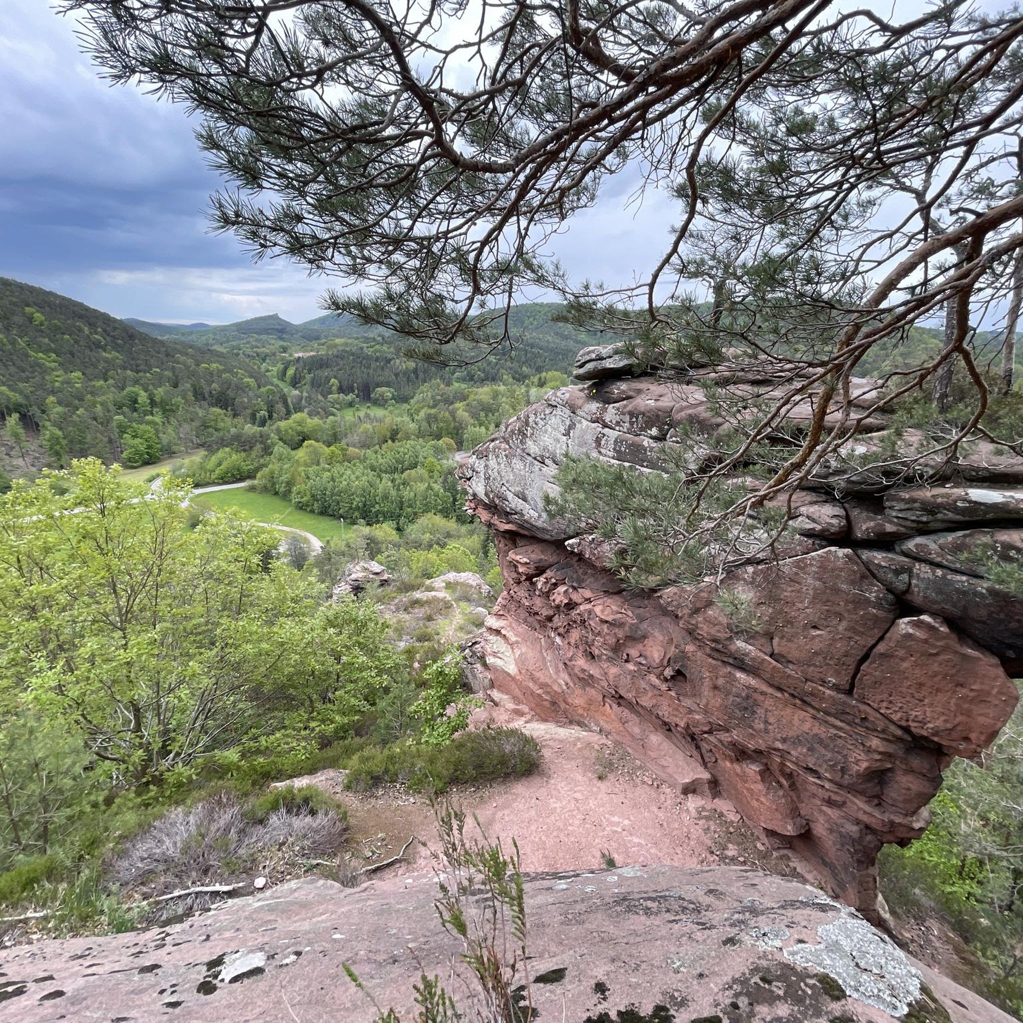
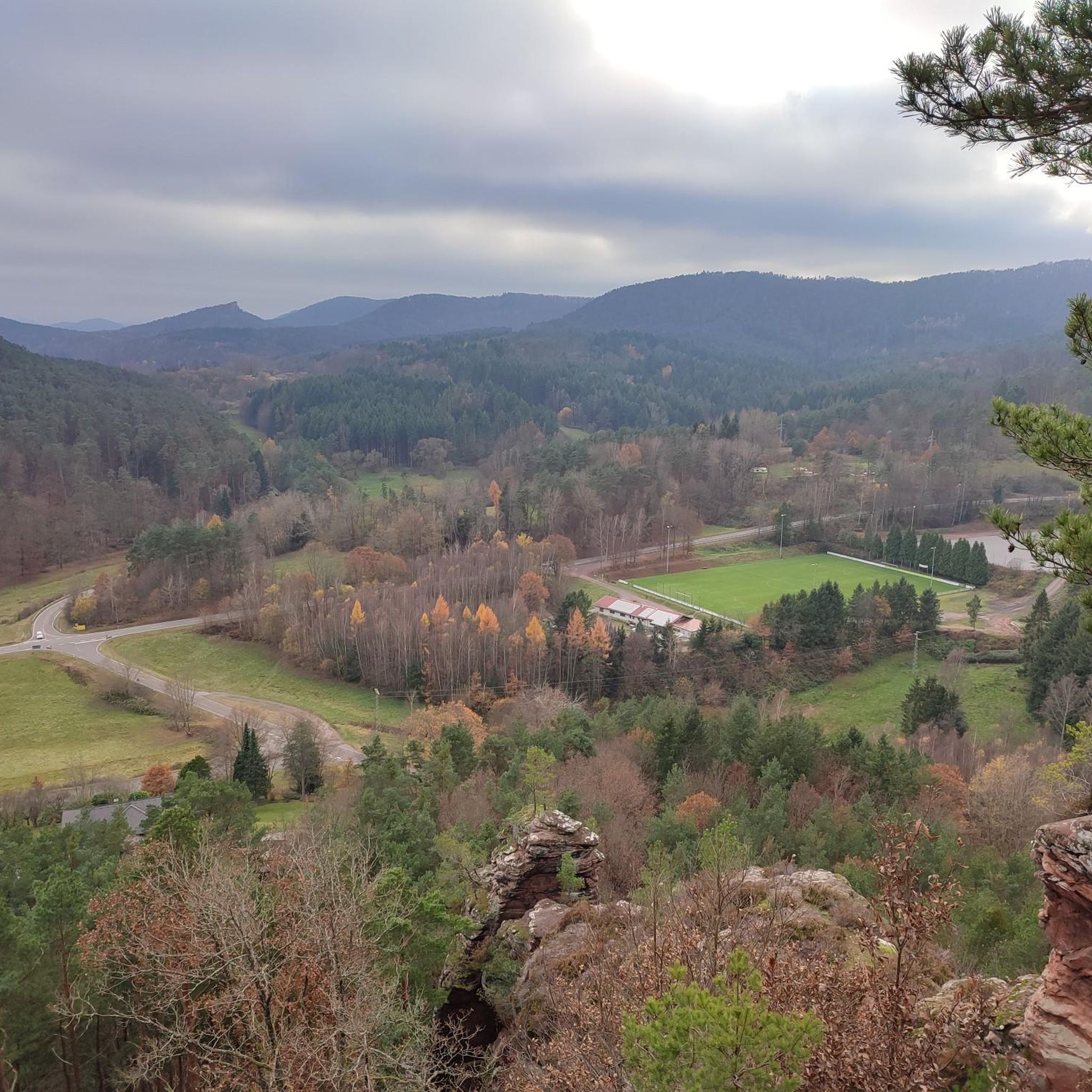
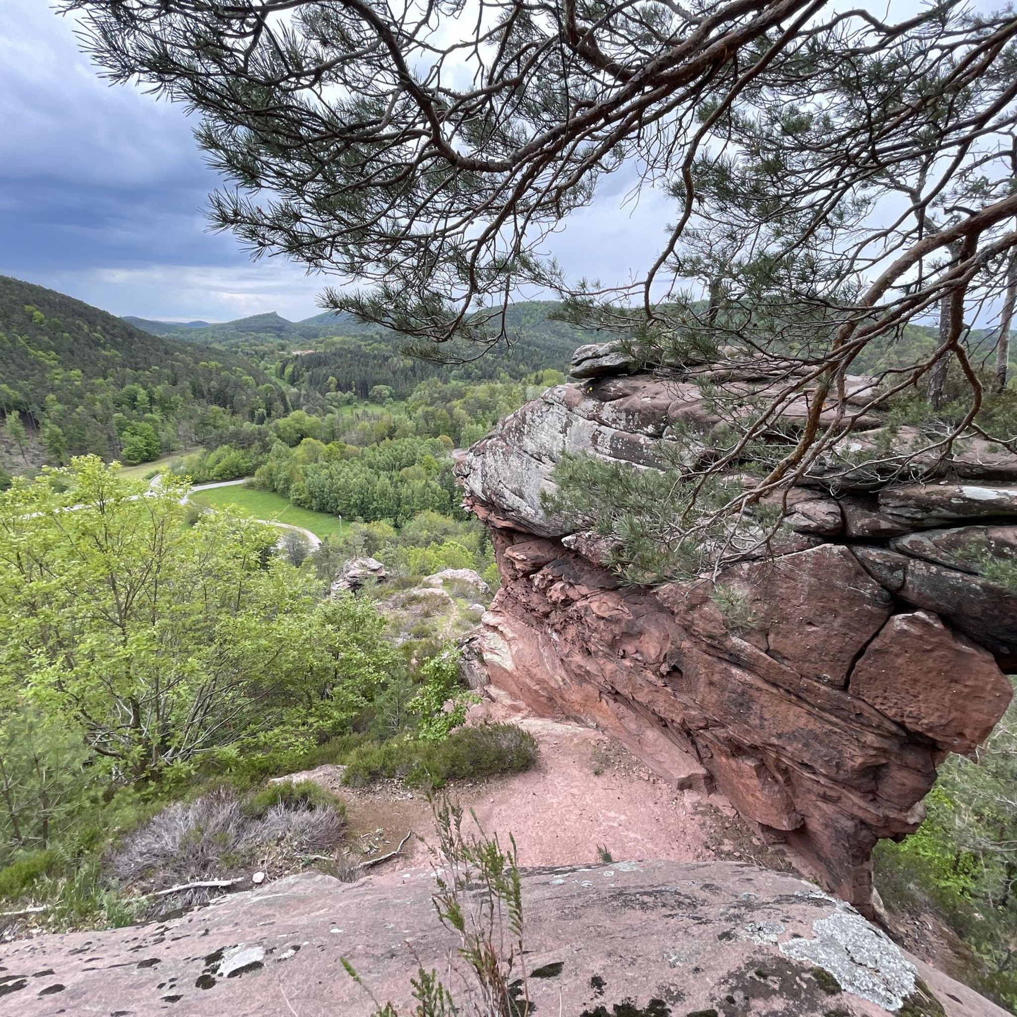
In neat rows on every mountain ridge stand the glowing red sandstone rocks in the Dahn Felsenland. Most can be easily hiked and some even climbed, and are great viewpoints.
3
0
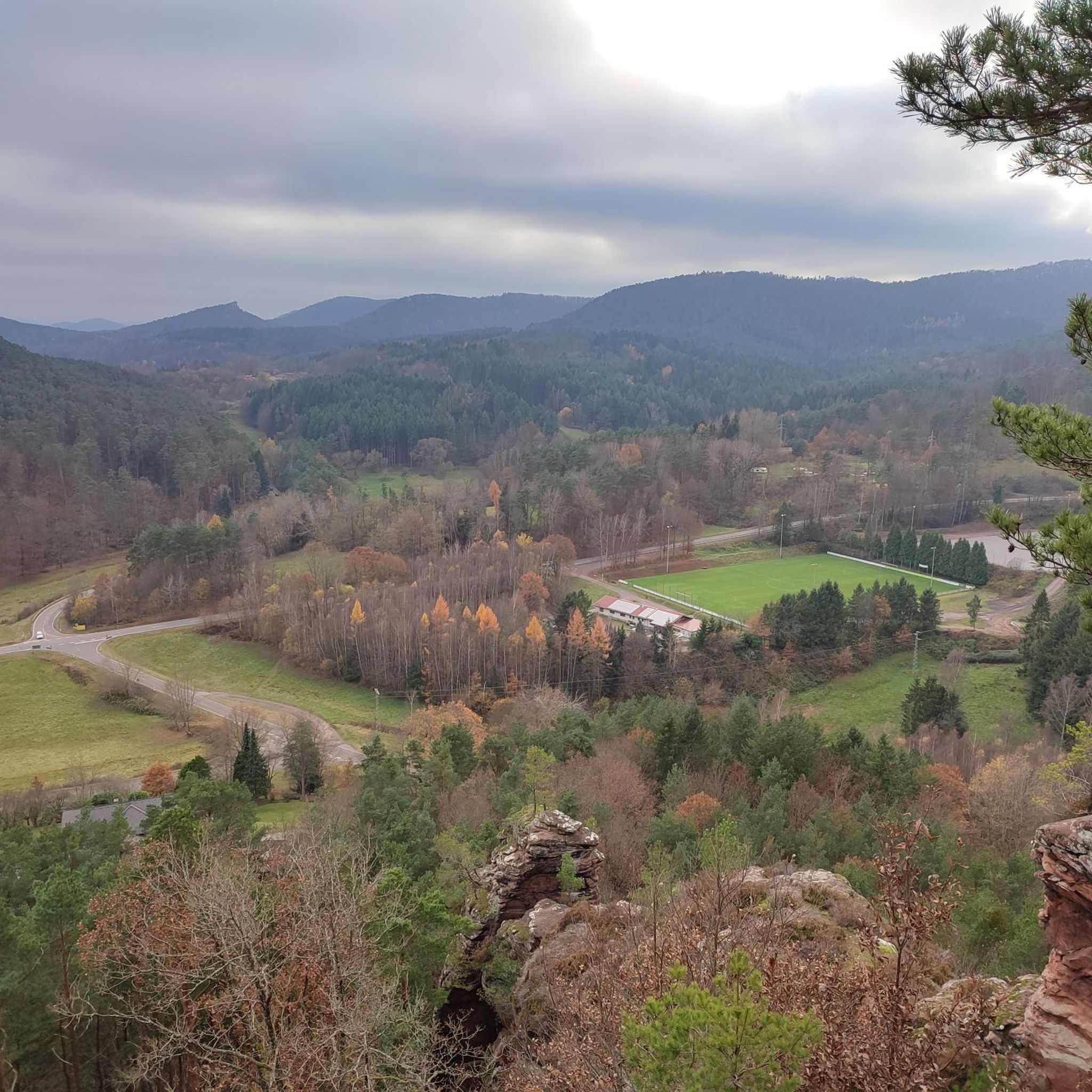
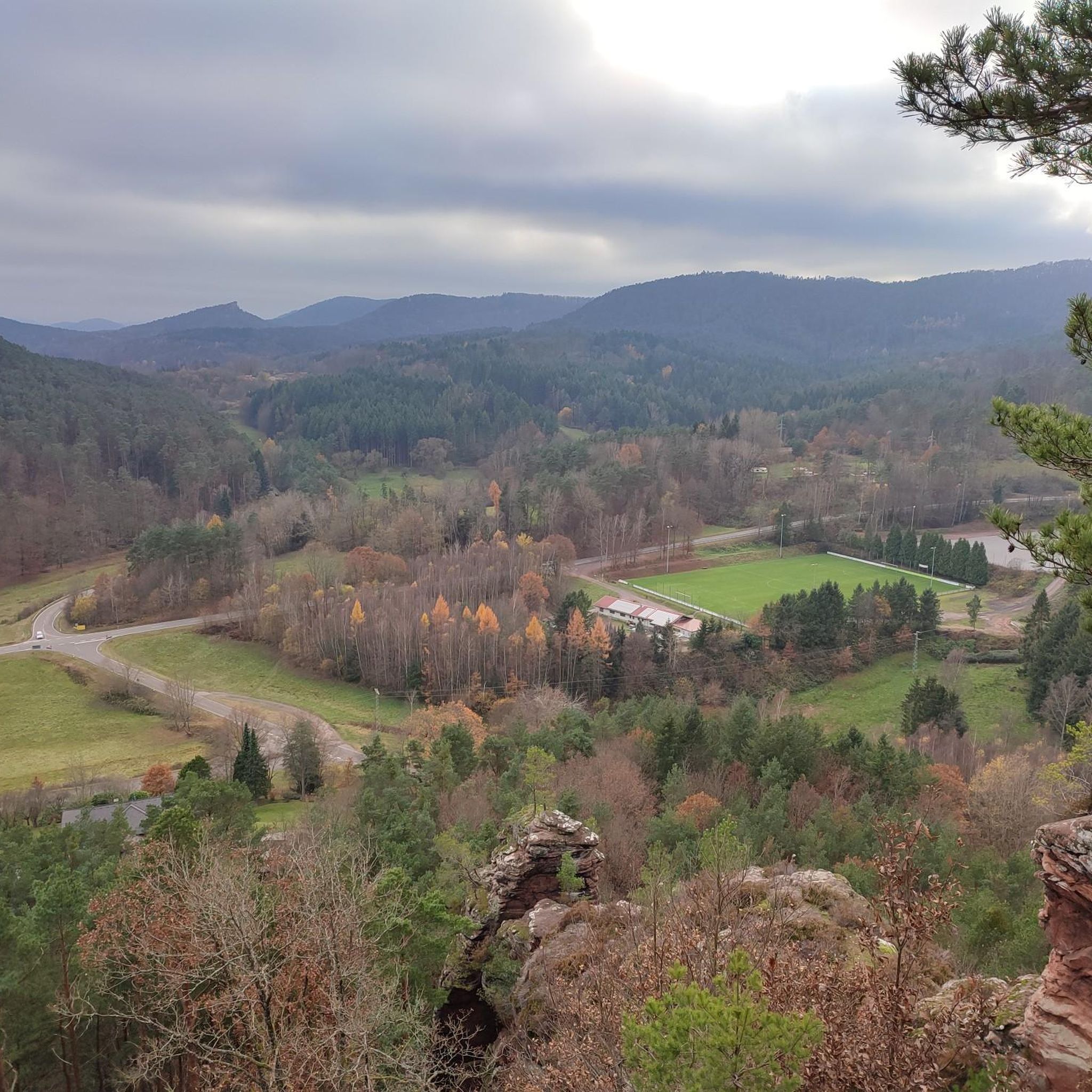
This is the Büttelfels, part of the premium hiking trail Dahner Felsenpfad. The starting point for the great loop is, among other places, at the Sportpark Dahn, a few hundred meters from the Büttelfels.
3
0

The silhouette suggests a monster or a hissing dragon.
0
0


Locals often refer to it as the "Wetterkreuz" instead of the Bischofskreuz. The last approx. 100 m to the summit can be managed with a mountain bike, but older bikers should partially push their bikes due to numerous tree roots and stones.
0
0
Frequently Asked Questions
How many mountaineering routes are available around Spirkelbach?
There are 10 distinct mountaineering routes in the Spirkelbach area, offering a variety of experiences through the Palatinate Forest.
What is the typical duration for mountaineering routes in Spirkelbach?
Mountaineering routes in Spirkelbach typically range from approximately 2 hours to over 6 hours to complete. For example, the Hoher Kopf Rock Formation – Dimbach Oak Spot loop from Dimbach can be completed in about 2 hours 11 minutes, while the more challenging Bishop’s Cross on Teufelsberg – Dreimärker Stone loop from Albersweiler (Pfalz) takes around 6 hours 49 minutes.
Are there easy mountaineering routes suitable for beginners in Spirkelbach?
While there are no routes explicitly classified as 'easy' for mountaineering, 8 out of 10 routes are rated as 'moderate'. These routes offer a good balance of challenge and accessibility for those with some hiking experience. An example is the View of Dahn – Elwetritsche Rock loop from Dahn.
Are there challenging mountaineering routes for experienced hikers in the Spirkelbach area?
Yes, for experienced mountaineers seeking a challenge, there are 2 difficult routes. The Bishop’s Cross on Teufelsberg – Dreimärker Stone loop from Albersweiler (Pfalz) is a notable option, featuring significant elevation gain and varied terrain over 22.1 km.
What kind of terrain can I expect on mountaineering routes in Spirkelbach?
The terrain around Spirkelbach is characterized by the unique red sandstone rock formations of the Palatinate Forest, dense woodlands, and rolling hills. You can expect a mix of challenging ascents and scenic paths through valleys and along ridge lines, with varied elevation changes.
Are there circular mountaineering routes available near Spirkelbach?
Yes, many of the mountaineering routes in the Spirkelbach area are circular, allowing you to start and end at the same point. Examples include the Am Horn Rock Formation – Keeshäwel Rock Formation loop from Dimbach and the Wachtfelsen Viewpoint – Lochfelsen loop from Dahn Süd.
What interesting natural features or landmarks can I see while mountaineering?
The region is rich in natural and historical landmarks. You can explore fascinating rock formations like the Buchkammerfels Rock Chambers or enjoy panoramic views from the Viewing chamber on the Büttelfels. The Ramburg Castle Ruins also offer a glimpse into the area's history.
Are there places to eat or rest near the mountaineering trails?
Yes, the area features several huts and cabins that offer opportunities for rest and refreshments. You can find places like the Hiking home "Dicke Eiche" (PWV Hauenstein) or the Kiesbuckel Naturefriends House, which are popular stops for mountaineers.
What do other mountaineers enjoy the most about mountaineering in Spirkelbach?
The mountaineering routes in Spirkelbach are highly rated by the komoot community, with an average score of 4.8 stars from more than 10 reviews. Reviewers often praise the unique sandstone rock formations, the dense and varied forest landscapes, and the well-maintained paths that offer both scenic beauty and a good physical challenge.
What is the best time of year for mountaineering in Spirkelbach?
Spring and autumn are generally considered the best times for mountaineering in Spirkelbach. The weather is typically mild, and the changing foliage in autumn or blooming nature in spring adds to the scenic beauty of the Palatinate Forest. Summer can be pleasant, but be prepared for warmer temperatures, especially in dense forest sections. Winter mountaineering is possible but requires appropriate gear and caution due to potentially icy conditions.
Most popular routes around Spirkelbach
Most popular attractions around Spirkelbach

Get inspired with the komoot mobile app


Explore more
Browse the best Mountain Hikes & Routes in other regions.
