The best mountain hikes around Rumbach
5.0
(21)
56
hikers
13
hikes
Mountaineering routes around Rumbach are characterized by the unique geological makeup of the Palatinate Forest, featuring over 200 red sandstone rock formations. This region, part of the Dahner Felsenland, offers a landscape of rugged terrain and vertical challenges. The area provides diverse opportunities for experienced hikers and climbers, with impressive sandstone cliffs and varied elevation changes.
Best mountaineering routes around Rumbach
- The most popular mountaineering route is View of Dahn – Elwetritsche Rock loop from Dahn, an 8.0 miles…
Last updated: November 5, 2026
4.8
(5)
11
hikers
12.7km
03:38
300m
300m
Moderate mountaineering route. Good fitness required. Easily walkable paths.
5.0
(3)
7
hikers
10.9km
03:32
370m
370m
Moderate mountaineering route. Good fitness required. Mostly walkable paths. Sure-footedness required.

5.0
(3)
6
hikers
7.69km
02:21
200m
200m
Moderate mountaineering route. Good fitness required. Mostly walkable paths. Sure-footedness required.
5.0
(3)
8
hikers
Moderate mountaineering route. Good fitness required. Mostly walkable paths. Sure-footedness required.
5.0
(2)
6
hikers
Moderate mountaineering route. Good fitness required. Easily walkable paths.
Get access to more routes and recommendations from other explorers.
Already have an account?
Our route recommendations are based on thousands of hikes, rides, and runs completed by other people on komoot.
Start today with a free account
Your next adventure awaits.

Tips from the Community

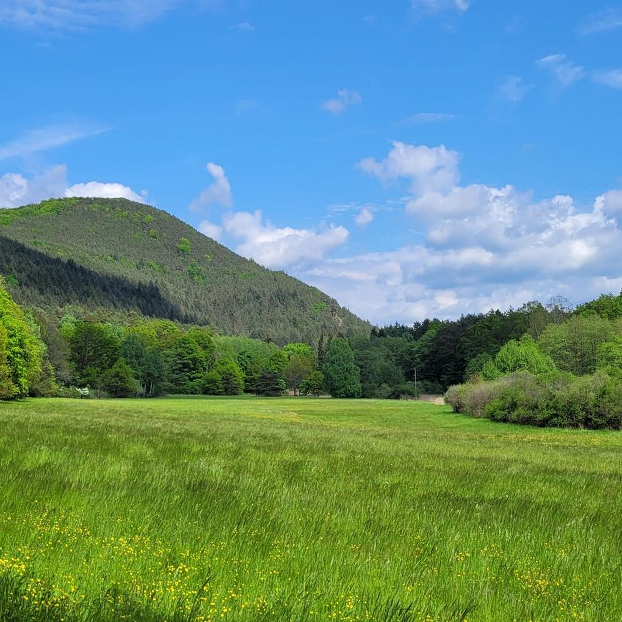
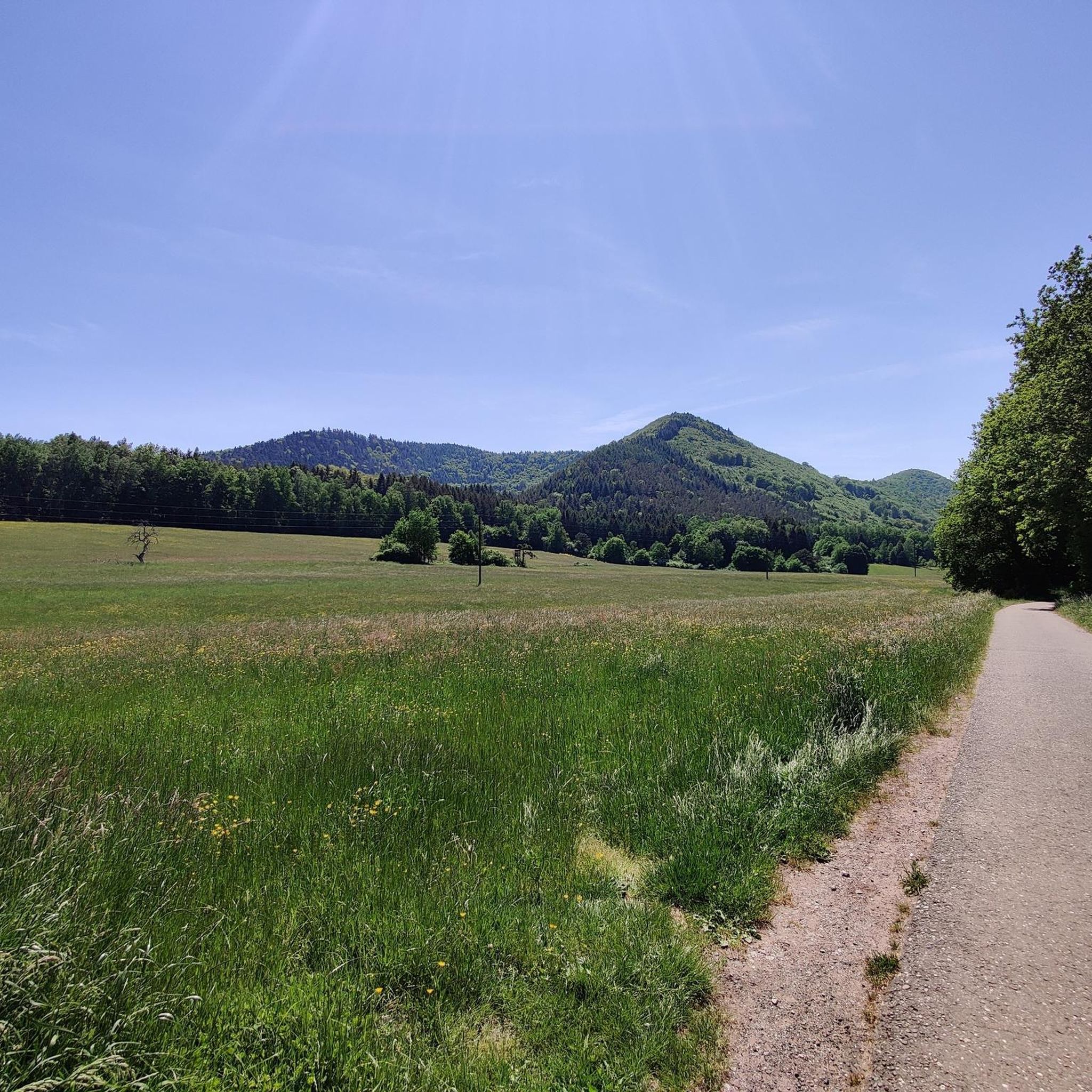
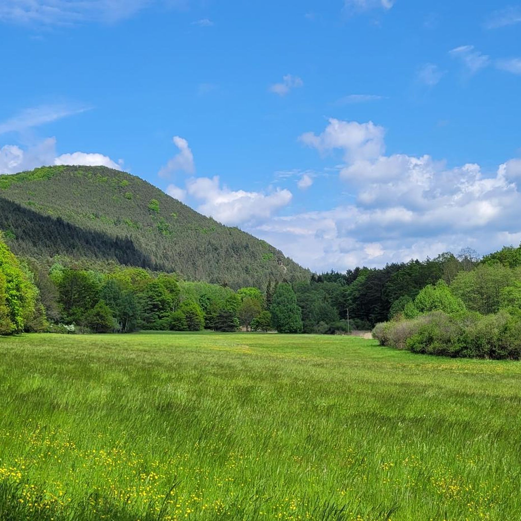
What a hiking paradise. You don't know where to look first.
0
0
Bilingual information board about the cross-border biosphere reserve Pfälzer Wald/Nordvogesen.
0
0
From Gimbelhof, you can see Burg Fleckenstein clearly again.
0
0

Good starting point for the tour. Shady and free (as of 2026) parking spaces.
0
0

The term biosphere reserve originated in 1977 following UNESCO's investigations into the topic of Man and the Biosphere. These are protected areas of special ecological and cultural diversity.
7
0

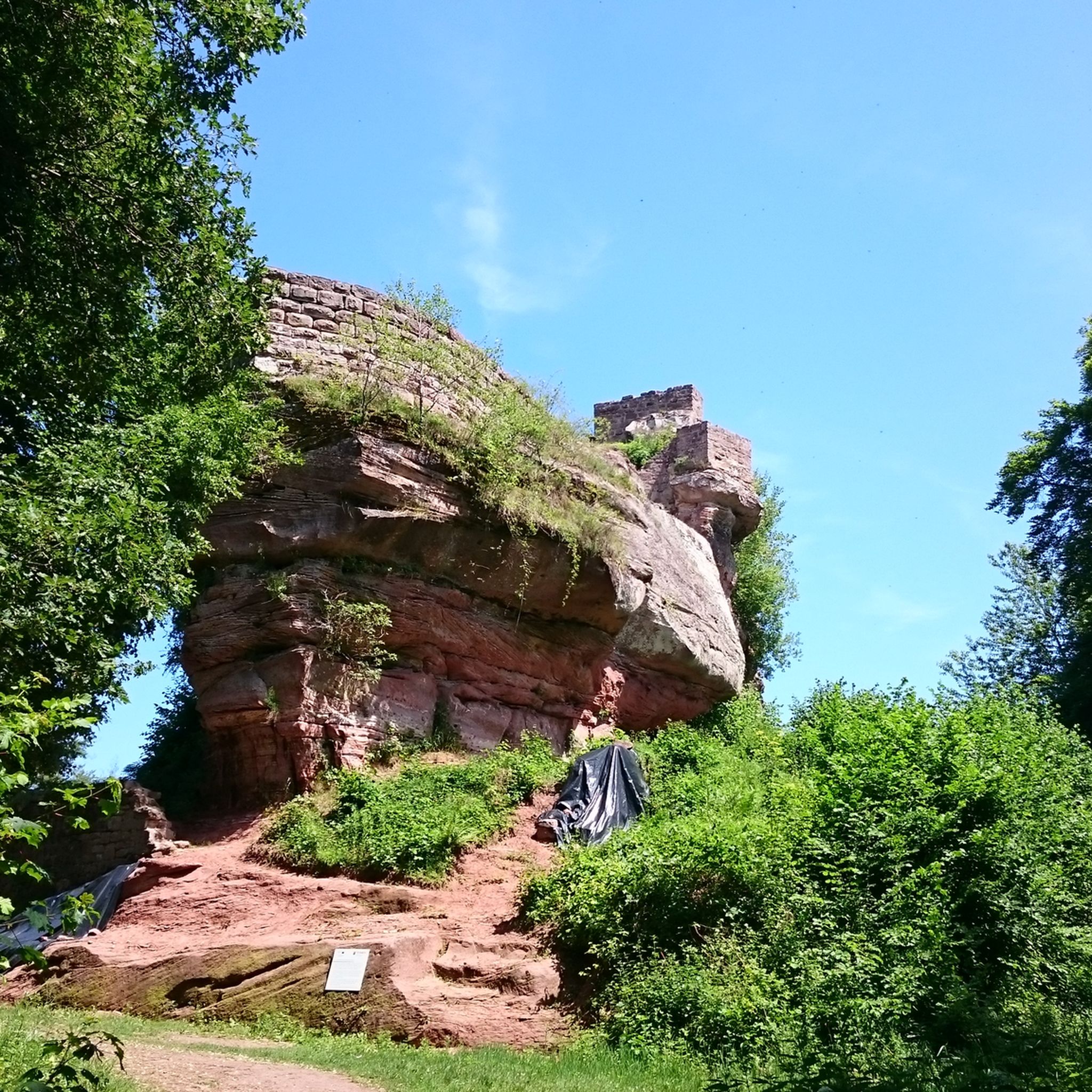
In neat rows on every mountain ridge stand the glowing red sandstone rocks in the Dahn Felsenland. Most can be easily hiked and some even climbed, and are great viewpoints.
3
0

The silhouette suggests a monster or a hissing dragon.
0
0

Since parking in Nothweiler (exception: visitor parking lot of the visitor mine) is prohibited almost everywhere in the village, this visitor parking lot is very well suited as a starting point (for hikes to Wegelnburg, to Fleckenstein Castle ruins or for the German-French premium hiking trail "Grenzgängerweg").
1
0
Frequently Asked Questions
How many mountaineering routes are available around Rumbach?
There are over 15 mountaineering routes around Rumbach, offering diverse experiences through the unique red sandstone landscape of the Palatinate Forest. The komoot community has explored these trails more than 70 times.
What kind of terrain can I expect on mountaineering routes near Rumbach?
Mountaineering routes around Rumbach are characterized by the rugged terrain of the Dahner Felsenland, featuring impressive red sandstone rock formations and dense sections of the Palatinate Forest. You'll encounter varied elevation changes, from challenging climbs to winding paths through forested hills.
What is the best time of year for mountaineering in Rumbach?
The best seasons for mountaineering and climbing in the Palatinate region are generally spring and autumn. During these times, temperatures are pleasant, and the weather tends to be drier, providing ideal conditions for exploring the rock formations and trails.
Are there routes suitable for beginners or more challenging climbs?
While Rumbach is known for its challenging terrain, the routes offer options for various ability levels. Most of the 15 routes are rated as moderate, with one route considered difficult. There are no easy routes specifically for beginners in the mountaineering category, but shorter moderate routes might be suitable for those with some experience.
How long do mountaineering routes typically take around Rumbach?
The duration of mountaineering routes around Rumbach varies. For example, the View of Dahn – Elwetritsche Rock loop from Dahn is about 8 miles (12.9 km) and takes approximately 3 hours 53 minutes. Shorter routes, like the Hohenbourg Castle – View from Wegelnburg Castle loop from Château de Fleckenstein, can be completed in around 2 hours.
Are there any circular mountaineering routes around Rumbach?
Yes, many of the mountaineering routes around Rumbach are designed as loops, allowing you to start and end at the same point. Examples include the popular Railway Cliff – Napoleon Rock loop from Bruchweiler-Bärenbach and the View from Wegelnburg Castle – Hohenbourg Castle loop from Nothweiler.
What interesting natural features or viewpoints can I see along the routes?
The routes offer numerous natural features and spectacular viewpoints. You can discover unique rock formations like the Hollow Rocks and the Fleckstein Rock Formation. Many trails also lead to stunning panoramic views, such as the Viewing chamber on the Büttelfels or the Löchelfelsen.
Are there any gorges or rock passages to explore?
Yes, the region is known for its dramatic rock formations and passages. You can explore features like the Rock Passage Near Büttelfelsen or the Narrow Rock Passage on the Dahner Felsenpfad. The The Gorge and Beer Cellars also offers a unique experience.
Can I bring my dog on mountaineering trails in Rumbach?
Many trails in the Palatinate Forest are dog-friendly, but it's essential to keep your dog on a leash, especially as some areas are within the Palatinate Forest-North Vosges biosphere reserve. This helps protect the local wildlife and ensures a pleasant experience for all hikers. Always check local signage for specific rules.
Where can I find parking for mountaineering trails in Rumbach?
Parking is generally available at trailheads and popular starting points for routes around Rumbach and the surrounding Dahner Felsenland. Look for designated parking areas in villages like Dahn, Bruchweiler-Bärenbach, or Nothweiler, which serve as common access points for these trails.
Is public transport available to access mountaineering trails near Rumbach?
While Rumbach is a smaller village, public transport options, such as regional buses, connect it to larger towns in the Palatinate. It's advisable to check local bus schedules in advance to plan your access to specific trailheads, as direct connections to all starting points might be limited.
What do other mountaineers enjoy the most about mountaineering in Rumbach?
The mountaineering routes around Rumbach are highly rated by the komoot community, with an average score of 5.0 stars from more than 20 reviews. Reviewers often praise the unique red sandstone rock formations, the challenging yet rewarding terrain, and the stunning panoramic views over the Dahner Felsenland.
Most popular routes around Rumbach
Most popular attractions around Rumbach

Get inspired with the komoot mobile app


Explore more
Browse the best Mountain Hikes & Routes in other regions.
