The best mountain hikes around Erlenbach bei Dahn
5.0
(23)
86
hikers
15
hikes
Mountaineering routes around Erlenbach bei Dahn are characterized by the region's distinctive red sandstone rock formations, dense Palatinate Forest woodlands, and scenic valleys. The terrain offers a mix of challenging ascents and more gradual paths, often leading to impressive viewpoints. This area is part of the German-French Biosphere Reserve Palatinate Forest-Northern Vosges, known for its unique geological features and rich biodiversity. The routes frequently traverse varied landscapes, including rocky outcrops and forested slopes.
Best mountaineering routes around Erlenbach bei Dahn
…Last updated: September 25, 2026
5.0
(3)
20
hikers
12.9km
03:53
270m
270m
Moderate mountaineering route. Good fitness required. Mostly accessible paths. Sure-footedness required.
4.8
(5)
11
hikers
12.7km
03:38
300m
300m
Moderate mountaineering route. Good fitness required. Easily-accessible paths. Suitable for all skill levels.

5.0
(1)
5
hikers
9.77km
03:13
350m
350m
Moderate mountaineering route. Good fitness required. Mostly accessible paths. Sure-footedness required.
4
hikers
6.49km
02:11
250m
250m
Moderate mountaineering route. Good fitness required. Mostly accessible paths. Sure-footedness required.
5.0
(1)
11
hikers
9.81km
03:27
370m
370m
Moderate mountaineering route. Good fitness required. Mostly accessible paths. Sure-footedness required.
Get access to more routes and recommendations from other explorers.
Already have an account?
Our route recommendations are based on thousands of hikes, rides, and runs completed by other people on komoot.
Start today with a free account
Your next adventure awaits.
Popular around Erlenbach bei Dahn
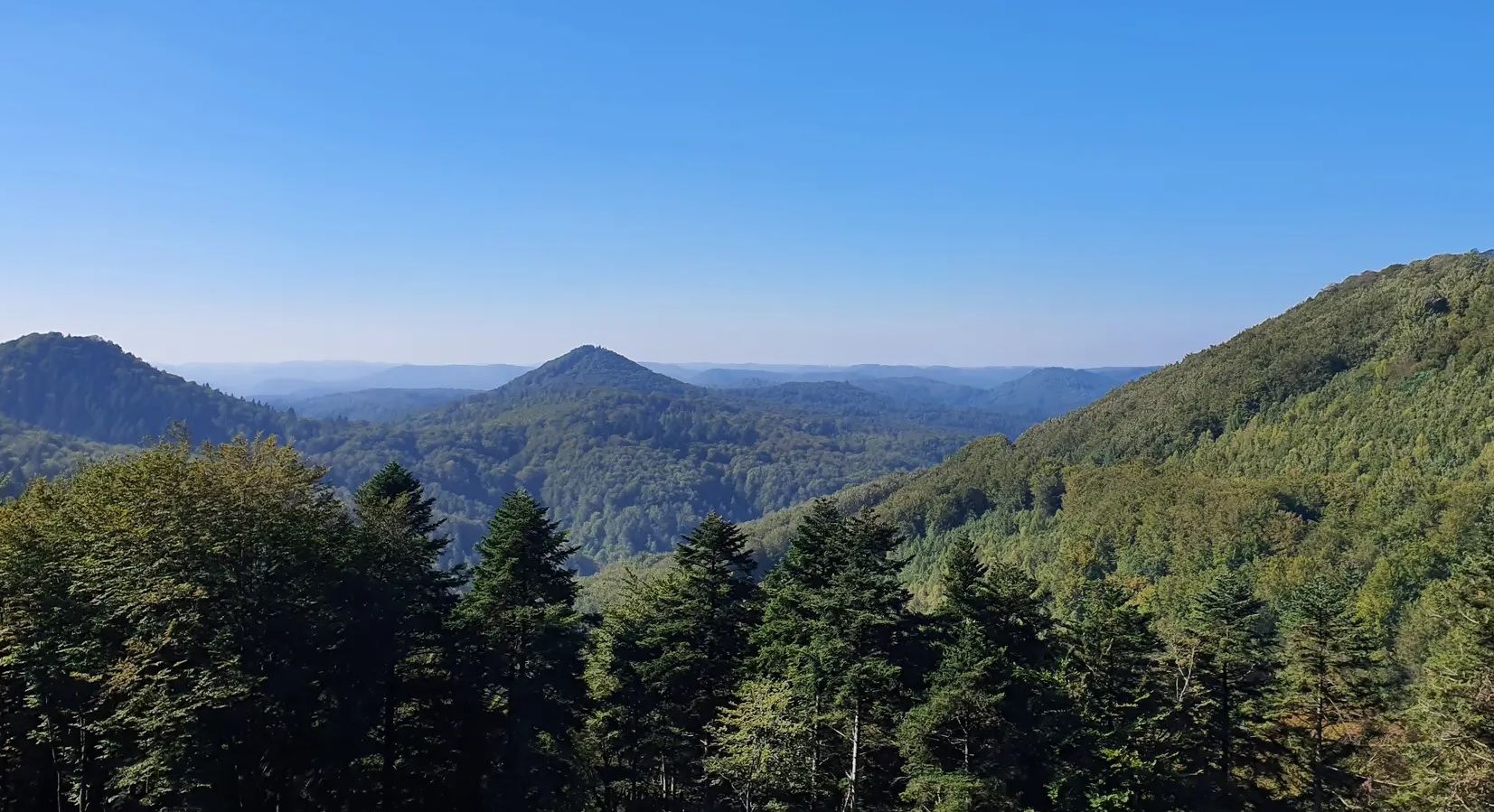
Palatinate Forest Trail – Hike through seemingly unending forest
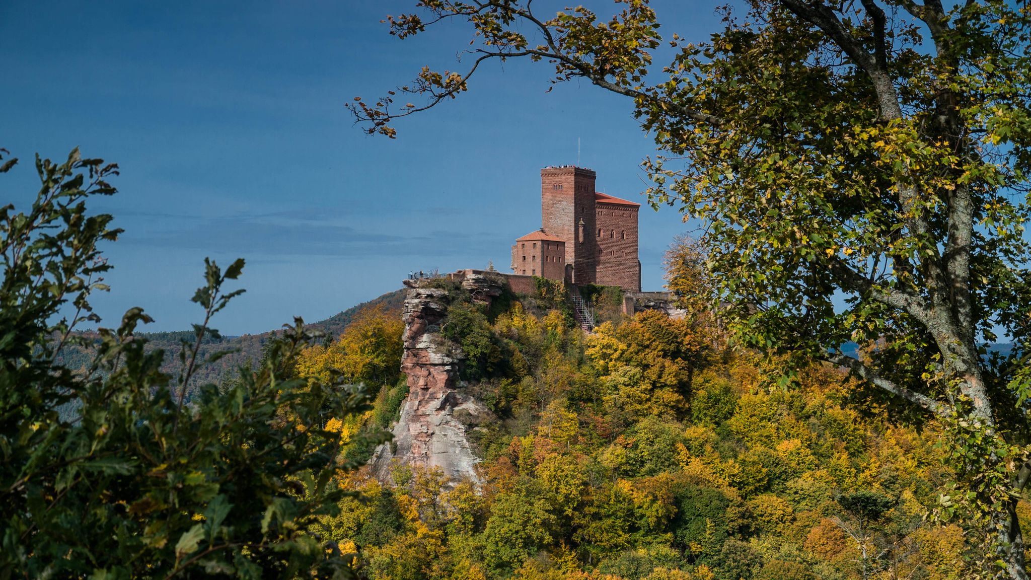
Castles in the Wasgau
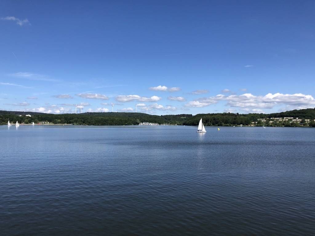
The best swimming lakes in Rhineland Palatinate and Saarland
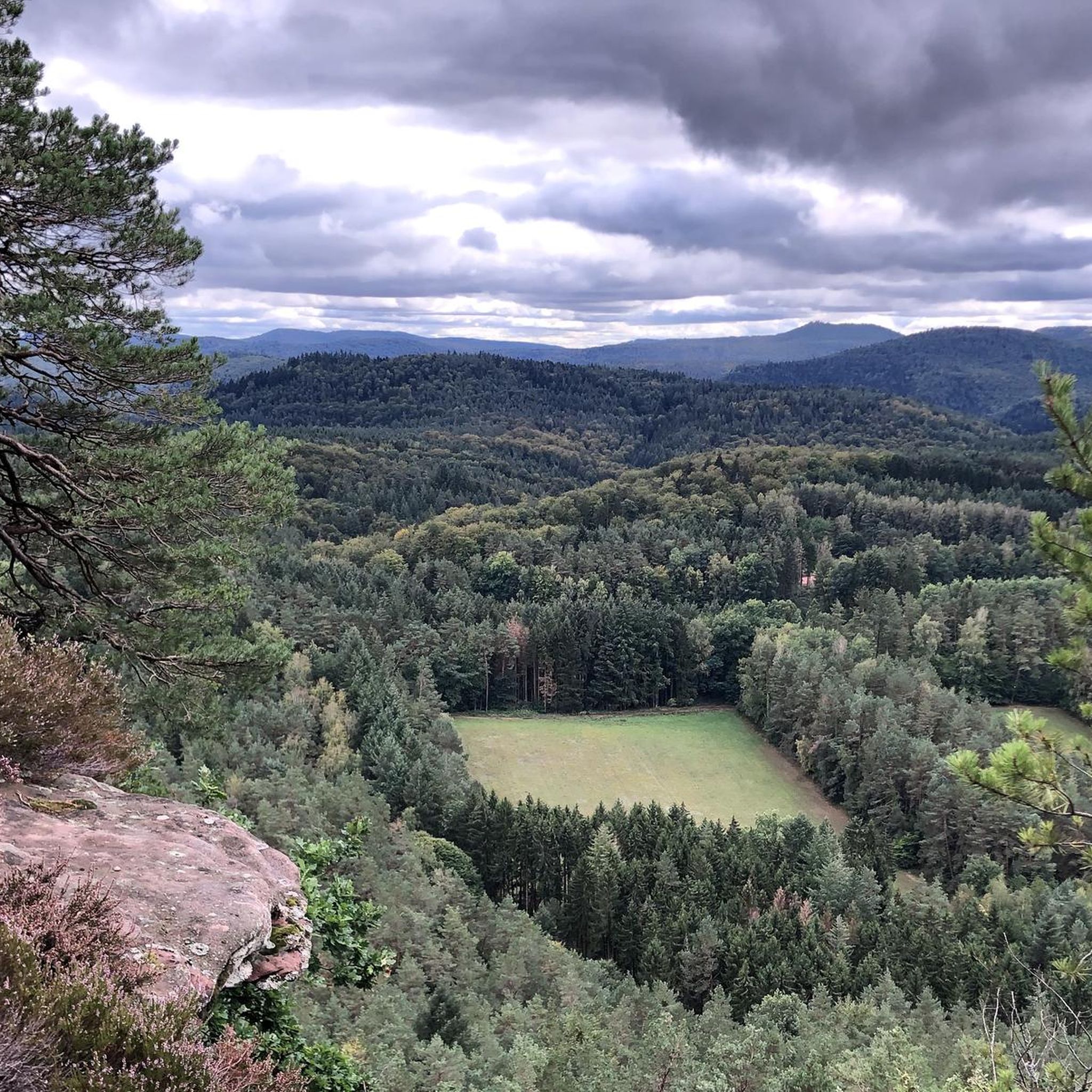
Hiking around Erlenbach bei Dahn
Cycling around Erlenbach bei Dahn
Road Cycling Routes around Erlenbach bei Dahn

Gravel biking around Erlenbach bei Dahn
Running Trails around Erlenbach bei Dahn
MTB Trails around Erlenbach bei Dahn


Tips from the Community

The Dimbacher Buntsandstein Höhenweg is an approximately 9.5 km long premium circular hiking trail in the Pfälzerwald, which leads past the striking Isselmannsteine, among other things.
2
0
From the summit and rock ledge of the Dimberg (420 m) on the Dimbacher Buntsandstein-Höhenweg, you can enjoy a magnificent, deep view into the valley, onto the village of Dimbach, and to the northeast towards the striking Geiersteine.
3
0

Good starting point for the tour. Shady and free (as of 2026) parking spaces.
0
0

In neat rows on every mountain ridge stand the glowing red sandstone rocks in the Dahn Felsenland. Most can be easily hiked and some even climbed, and are great viewpoints.
3
0
This is the Büttelfels, part of the premium hiking trail Dahner Felsenpfad. The starting point for the great loop is, among other places, at the Sportpark Dahn, a few hundred meters from the Büttelfels.
3
0

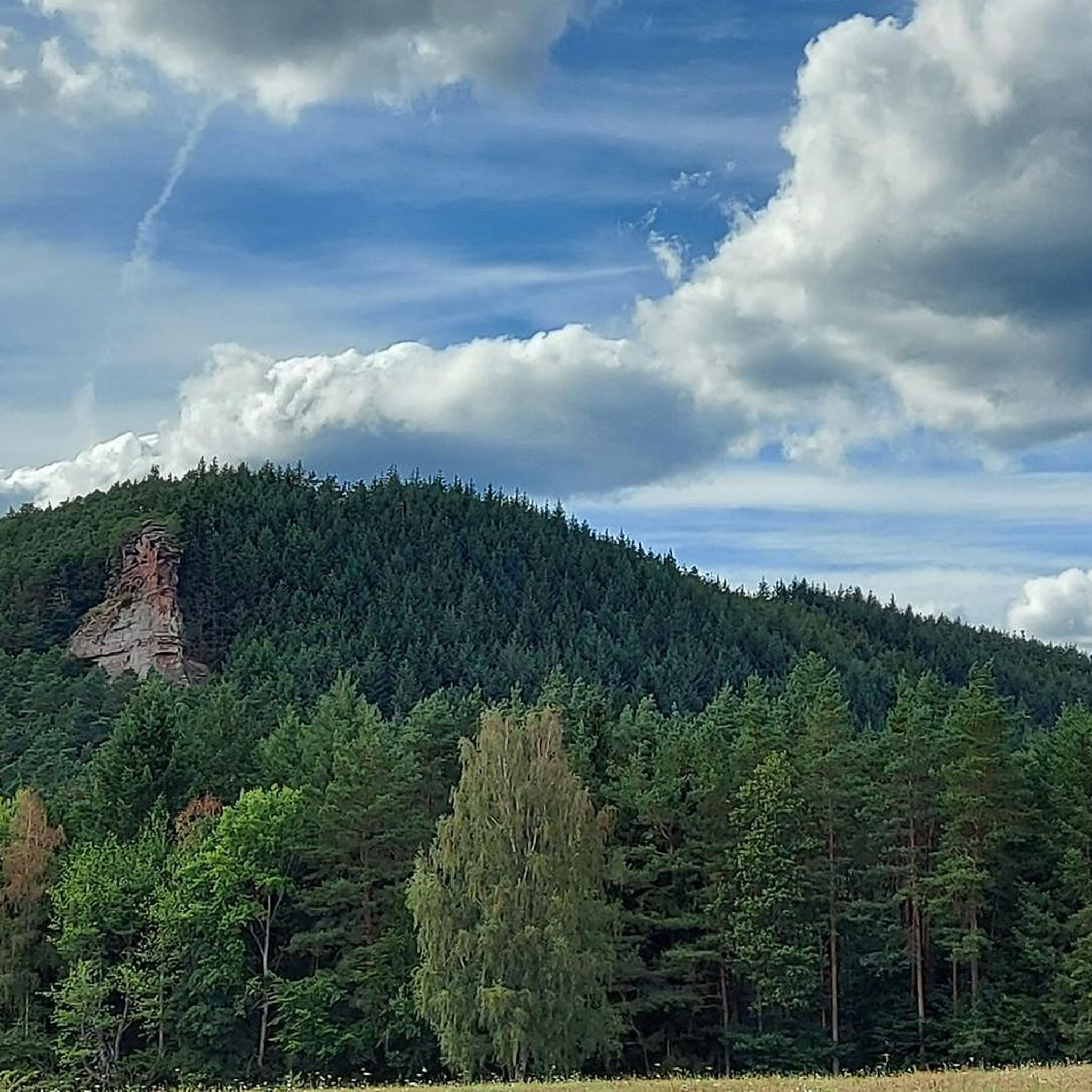
The silhouette suggests a monster or a hissing dragon.
0
0

Since parking in Nothweiler (exception: visitor parking lot of the visitor mine) is prohibited almost everywhere in the village, this visitor parking lot is very well suited as a starting point (for hikes to Wegelnburg, to Fleckenstein Castle ruins or for the German-French premium hiking trail "Grenzgängerweg").
1
0

Frequently Asked Questions
What is the general difficulty level of mountaineering routes around Erlenbach bei Dahn?
The mountaineering routes in Erlenbach bei Dahn are predominantly moderate, with 15 out of 16 available routes falling into this category. There is also one difficult route for more experienced mountaineers. This means you can expect varied terrain, including ascents and descents, but generally manageable for those with a good fitness level.
Are there any family-friendly mountaineering options in the Erlenbach bei Dahn area?
While there are no routes explicitly classified as 'easy', many of the moderate routes can be suitable for active families. These trails often feature well-maintained paths through the Palatinate Forest and offer rewarding views without extreme technical challenges. For example, the Hoher Kopf Rock Formation – Dimbach Oak Spot loop from Dimbach is a moderate route that is shorter, at around 6.4 km, making it a good option for families seeking a less strenuous adventure.
Can I bring my dog on the mountaineering trails around Erlenbach bei Dahn?
Yes, the Palatinate Forest, where Erlenbach bei Dahn is located, is generally dog-friendly. Most trails permit dogs, but it's always recommended to keep them on a leash, especially in nature reserves or near wildlife. Be prepared for varied terrain, including rocky sections, and ensure your dog is fit enough for the moderate difficulty of most routes.
What kind of natural landmarks can I expect to see along the mountaineering routes?
The region is famous for its distinctive red sandstone rock formations. Along the routes, you can discover impressive natural monuments such as the Swallows' Rock, the unique Bride and Groom Rock Formations, and the imposing Ungeheuer Rock. These geological features are a highlight of the Palatinate Forest-Northern Vosges Biosphere Reserve.
Are there any historical sites or castles to explore near the mountaineering trails?
Absolutely. The area around Erlenbach bei Dahn is rich in history, featuring numerous castle ruins. You can often incorporate visits to these sites into your mountaineering trips. Notable examples include the Wegelnburg Castle Ruins, Ruins of Altdahn Castle, and Neudahn Castle Ruins. Many routes offer views of or direct access to these historic landmarks.
What are the typical distances and elevation gains for mountaineering routes here?
The mountaineering routes in Erlenbach bei Dahn vary in length and elevation. For instance, the Am Horn Rock Formation – Keeshäwel Rock Formation loop from Dimbach covers about 9.8 km with an elevation gain of around 374 meters. Another route, the Hoher Kopf Rock Formation – Dimbach Oak Spot loop from Dimbach, is shorter at 6.4 km with approximately 251 meters of ascent. You can expect routes generally ranging from 6 to 13 km with elevation gains between 250 and 370 meters.
Are there any circular mountaineering routes available?
Yes, many of the mountaineering routes around Erlenbach bei Dahn are designed as circular tours, allowing you to start and end at the same point. This is convenient for those traveling by car. Examples include the Hoher Kopf Rock Formation – Dimbach Oak Spot loop from Dimbach and the Am Horn Rock Formation – Keeshäwel Rock Formation loop from Dimbach.
What do other mountaineers say about the routes in Erlenbach bei Dahn?
The mountaineering routes in Erlenbach bei Dahn are highly regarded by the komoot community, boasting an impressive average rating of 5.0 stars from over 20 reviews. Mountaineers frequently praise the unique red sandstone rock formations, the tranquility of the dense Palatinate Forest, and the rewarding panoramic views from various viewpoints.
Is public transport an option for accessing mountaineering trails in Erlenbach bei Dahn?
While many routes are easily accessible by car, some villages in the region, including Erlenbach bei Dahn itself, have limited public transport connections, primarily by bus. It's advisable to check local bus schedules in advance if you plan to rely on public transport to reach specific trailheads.
What is the best time of year for mountaineering in Erlenbach bei Dahn?
The Palatinate Forest offers excellent mountaineering conditions throughout much of the year. Spring and autumn are particularly popular due to pleasant temperatures and vibrant foliage. Summer can be enjoyable, especially in the shaded forest sections, but be prepared for warmer weather. Winter mountaineering is possible, though some paths might be slippery or require appropriate gear depending on snow and ice conditions.
Are there any cafes or places to eat near the mountaineering trails?
The villages surrounding the Palatinate Forest, such as Erlenbach bei Dahn, Dahn, and Bruchweiler-Bärenbach, offer various guesthouses, restaurants, and cafes where you can refuel after your mountaineering adventure. It's a good idea to check opening hours, especially in smaller villages or during off-peak seasons.
How many mountaineering routes are available in Erlenbach bei Dahn?
There are 16 distinct mountaineering routes available for exploration around Erlenbach bei Dahn, offering a variety of experiences through the region's unique landscape.
Most popular routes around Erlenbach bei Dahn
Most popular attractions around Erlenbach bei Dahn

Get inspired with the komoot mobile app


Explore more
Browse the best Mountain Hikes & Routes in other regions.
