The best mountain hikes around Dahn
5.0
(25)
99
hikers
17
hikes
Mountaineering routes around Dahn are characterized by the region's distinctive red sandstone rock formations, dense forests, and varied elevation changes. The landscape of the Südwestpfalz offers a mix of challenging ascents and scenic paths through valleys and along ridge lines. This area provides a diverse environment for mountaineers, with routes often leading to panoramic viewpoints and unique geological features.
Best mountaineering routes around Dahn
- The most popular mountaineering route is View of Dahn – Elwetritsche Rock loop from Dahn,…
Last updated: October 5, 2026
5.0
(3)
20
hikers
12.9km
03:53
270m
270m
Moderate mountaineering route. Good fitness required. Mostly accessible paths. Sure-footedness required.
4.8
(5)
11
hikers
12.7km
03:38
300m
300m
Moderate mountaineering route. Good fitness required. Easily-accessible paths. Suitable for all skill levels.

5.0
(1)
5
hikers
9.77km
03:13
350m
350m
Moderate mountaineering route. Good fitness required. Mostly accessible paths. Sure-footedness required.
5.0
(3)
6
hikers
7.80km
02:23
210m
210m
Moderate mountaineering route. Good fitness required. Mostly accessible paths. Sure-footedness required.
5.0
(2)
6
hikers
Moderate mountaineering route. Good fitness required. Easily-accessible paths. Suitable for all skill levels.
Get access to more routes and recommendations from other explorers.
Already have an account?
Our route recommendations are based on thousands of hikes, rides, and runs completed by other people on komoot.
Start today with a free account
Your next adventure awaits.
Popular around Dahn
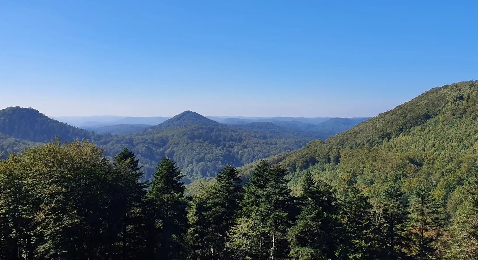
Palatinate Forest Trail – Hike through seemingly unending forest
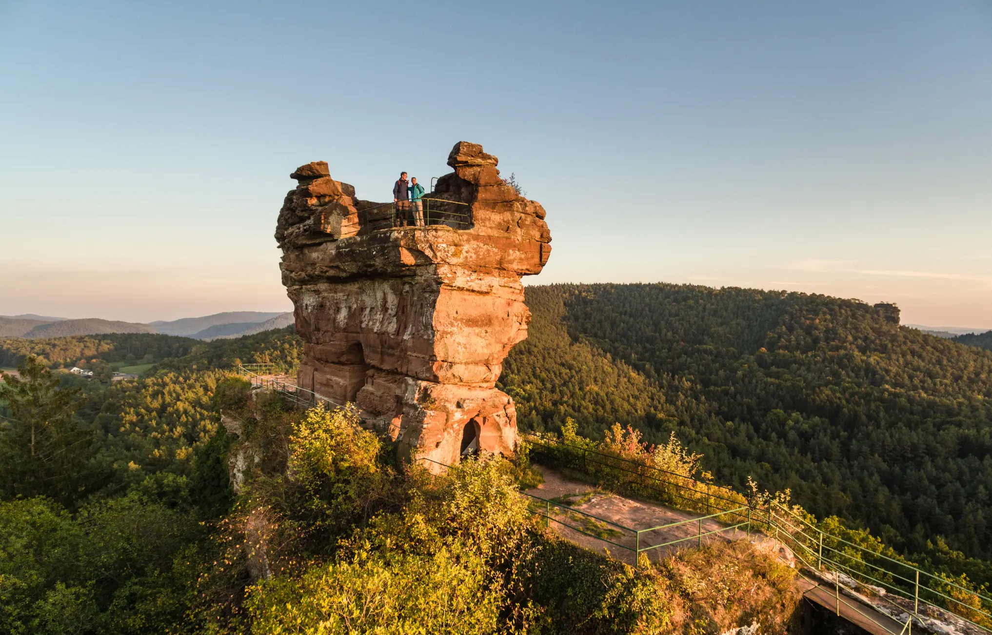
Wonderfully devilish tales – Germany’s Felsenland Legend Trail
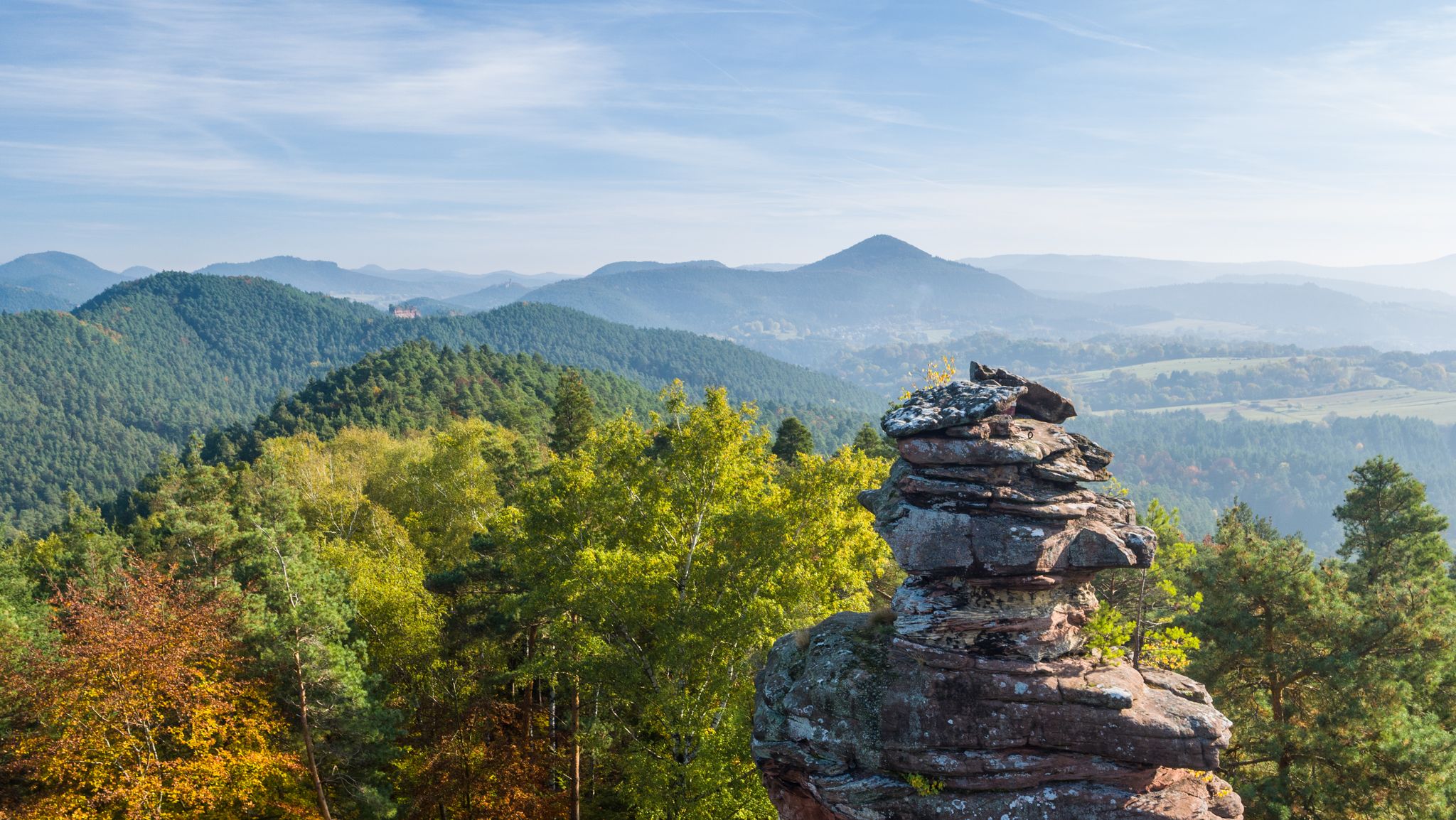
Palatinate hiking menu — day and half day hikes

Palatinate hiking menu - immersive day hikes
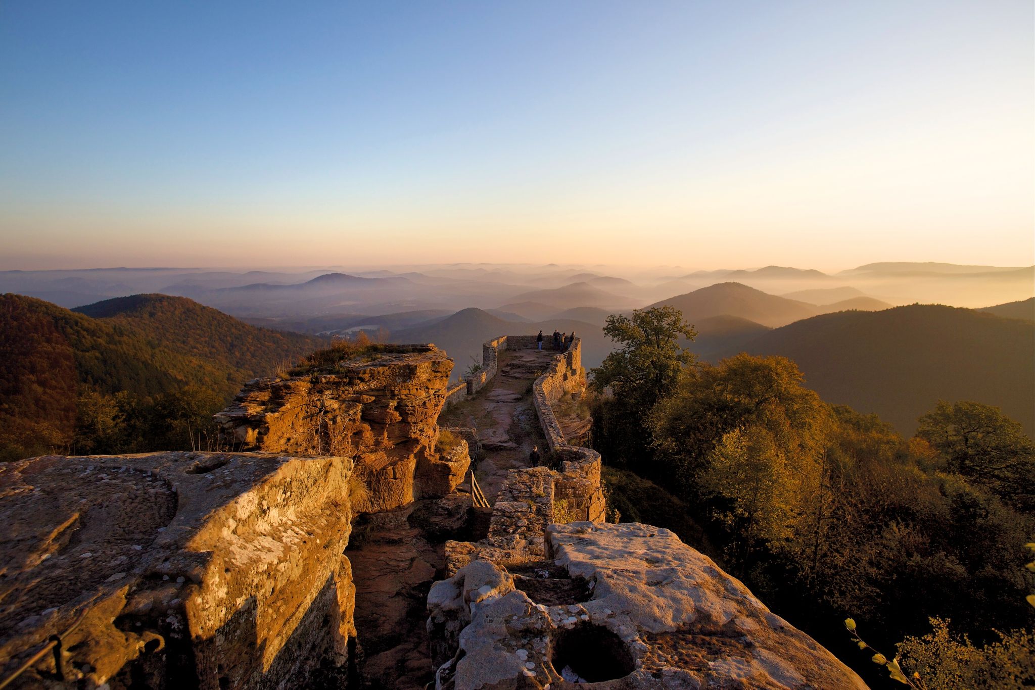
Pfälzer hiking menu — multi day hikes
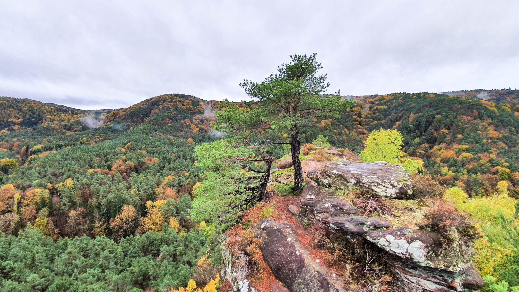
Colourful views — autumnal hikes in the Palatinate Forest
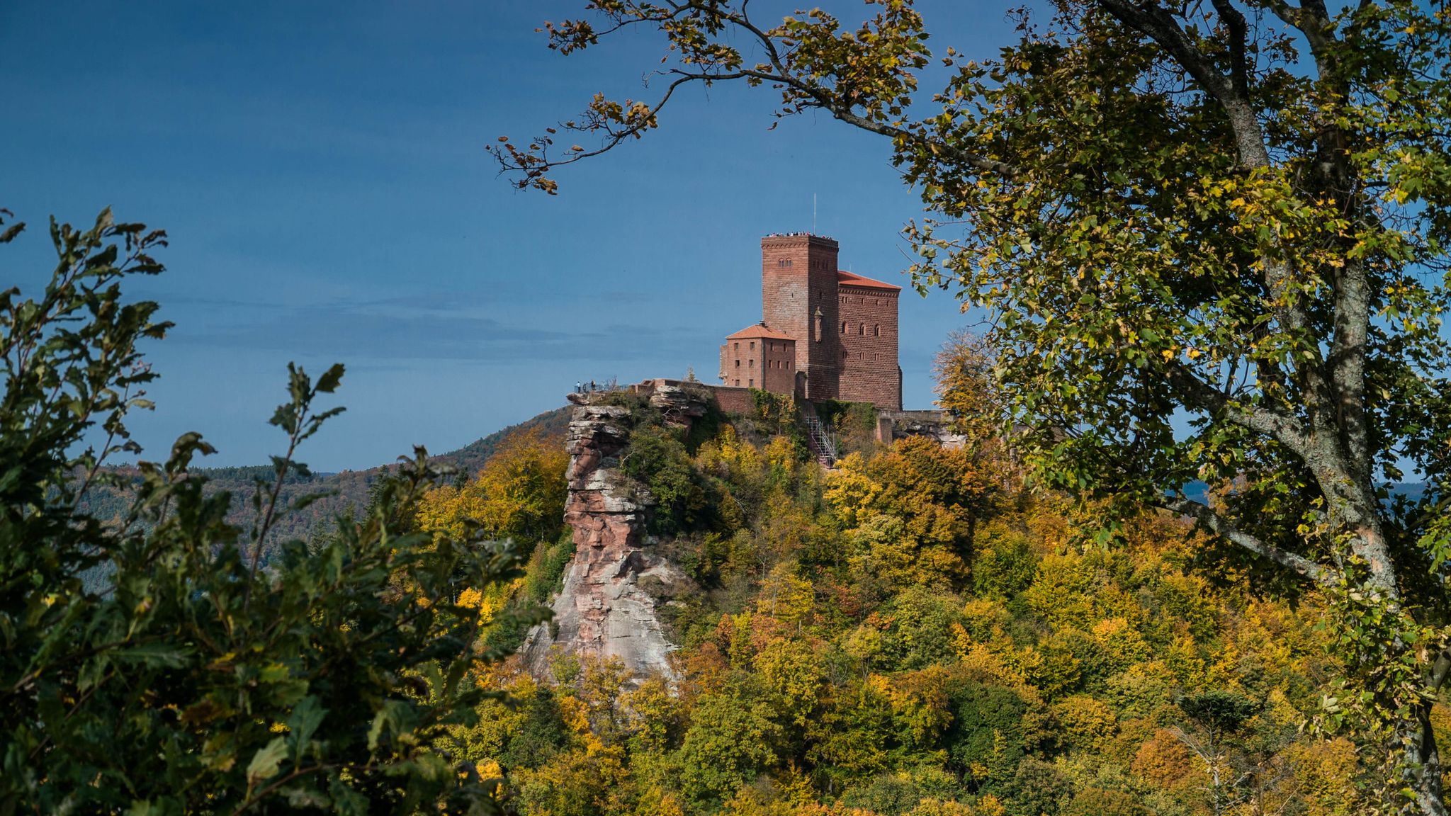
Castles in the Wasgau
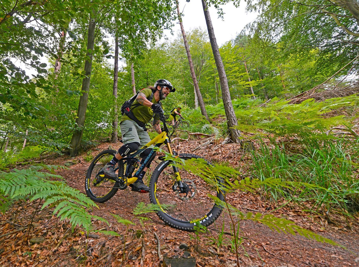
Offizielle Mountainbiketouren im Wasgau
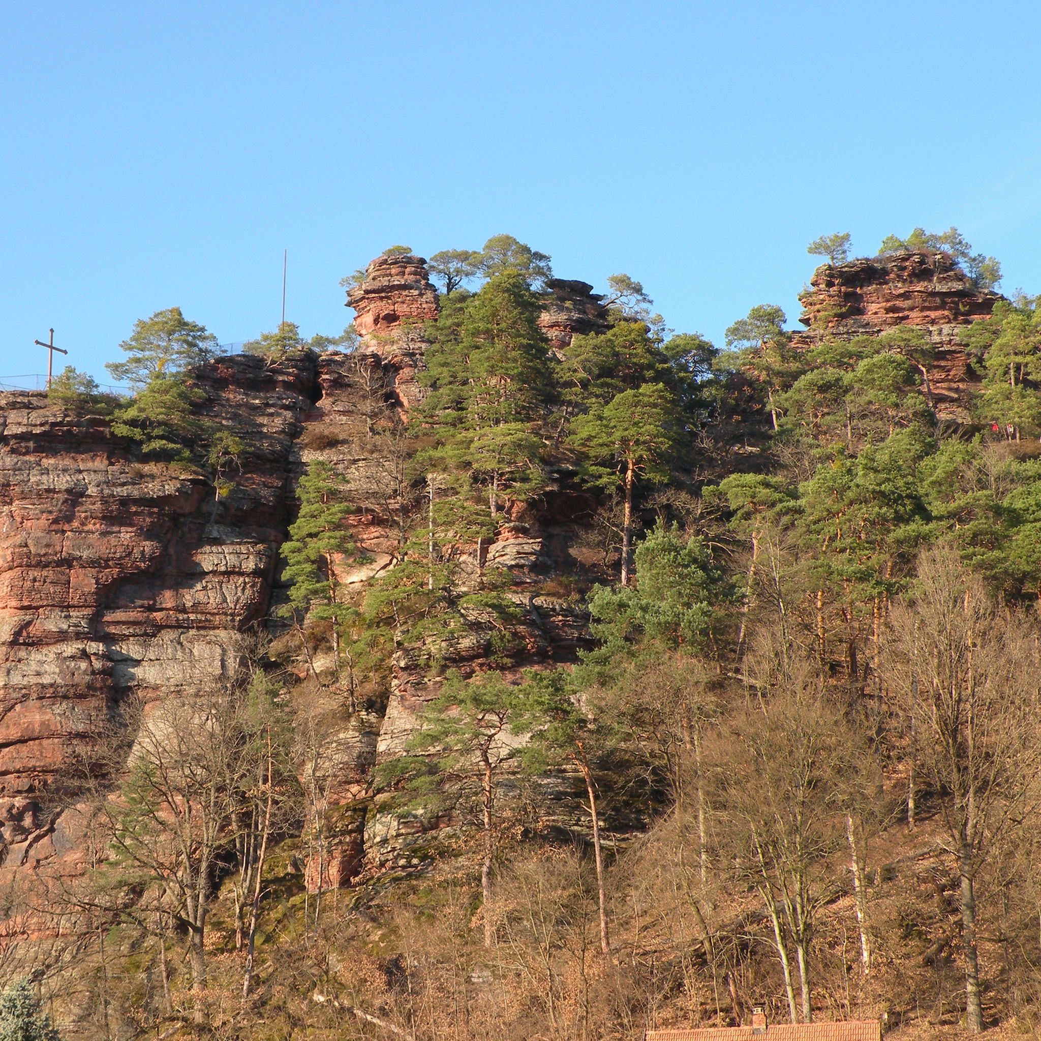
Hiking around Dahn
Cycling around Dahn
Other adventures around Dahn


Tips from the Community

Good starting point for the tour. Shady and free (as of 2026) parking spaces.
0
0

In neat rows on every mountain ridge stand the glowing red sandstone rocks in the Dahn Felsenland. Most can be easily hiked and some even climbed, and are great viewpoints.
3
0
This is the Büttelfels, part of the premium hiking trail Dahner Felsenpfad. The starting point for the great loop is, among other places, at the Sportpark Dahn, a few hundred meters from the Büttelfels.
3
0

The silhouette suggests a monster or a hissing dragon.
0
0

Since parking in Nothweiler (exception: visitor parking lot of the visitor mine) is prohibited almost everywhere in the village, this visitor parking lot is very well suited as a starting point (for hikes to Wegelnburg, to Fleckenstein Castle ruins or for the German-French premium hiking trail "Grenzgängerweg").
1
0


Impressive rock formations can be seen time and again along the circular route through the Dahner Felsenland (Dahn Rock Country).
1
0
Frequently Asked Questions
What kind of mountaineering routes can I expect around Dahn?
Mountaineering routes around Dahn are characterized by the region's distinctive red sandstone rock formations, dense forests, and varied elevation changes. You'll find a mix of challenging ascents and scenic paths through valleys and along ridge lines, often leading to panoramic viewpoints and unique geological features.
What are the difficulty levels of mountaineering routes in Dahn?
The majority of mountaineering routes in Dahn are rated as moderate, with 17 such tours available. There is also at least one difficult route for more experienced mountaineers. There are no easy routes listed for this specific activity.
Are there any circular mountaineering routes in Dahn?
Yes, many of the mountaineering routes around Dahn are circular. For example, you can explore the View of Dahn – Elwetritsche Rock loop from Dahn, which is 8.0 miles (12.9 km) long, or the Railway Cliff – Napoleon Rock loop from Bruchweiler-Bärenbach, covering 7.9 miles (12.7 km).
What are some of the longer mountaineering routes in the Dahn area?
For a longer adventure, consider the Bundenthal Hunting Hut – Geierstein rock formation loop from Bundenthal-Rumbach, which spans approximately 9.4 miles (15.2 km) and involves significant elevation changes. This route typically takes over 4 hours to complete.
Are there any routes that pass by historical sites or castles?
Yes, the View from Wegelnburg Castle – Hohenbourg Castle loop from Nothweiler is a notable route that leads through forested hills and past historic castle ruins, offering both natural beauty and a glimpse into the region's past.
What do other mountaineers say about the routes in Dahn?
The mountaineering routes in Dahn are highly regarded by the komoot community, holding an impressive average rating of 4.9 stars from over 20 reviews. Nearly 100 mountaineers have used komoot to explore the varied terrain, often praising the unique rock formations and scenic views.
What are some interesting natural attractions to see along the mountaineering routes?
The Dahn region is rich in natural monuments. You might encounter impressive rock formations like the Swallows' Rock, the Bride and Groom Rock Formations, or the Ungeheuer Rock. Many routes also feature unique rock passages, such as the Rock Passage Near Büttelfelsen.
Are there any shorter mountaineering loops suitable for a quicker outing?
For a shorter, yet still rewarding, experience, consider the Wachtfelsen Viewpoint – Lochfelsen loop from Dahn Süd. This route is approximately 4.8 miles (7.8 km) long and can typically be completed in under 2.5 hours, offering views and rock formations.
What kind of terrain defines mountaineering in Dahn?
Mountaineering in Dahn is defined by its distinctive red sandstone rock formations, dense woodlands, and varied elevation profiles. You'll navigate through a landscape that combines challenging ascents with scenic paths, often encountering unique geological features.
How many total mountaineering routes are available in the Dahn area?
There are 18 mountaineering routes available around Dahn, providing a wide range of options for exploring the region's unique natural beauty and challenging terrain.
Can I find gorges or narrow rock passages on the routes?
Yes, the Dahn region is known for its impressive rock formations and passages. You can find features like the Narrow Rock Passage on the Dahner Felsenpfad and the Rock Passage Near Büttelfelsen, which add an adventurous element to the routes.
Most popular routes around Dahn
Most popular attractions around Dahn

Get inspired with the komoot mobile app


Explore more
Browse the best Mountain Hikes & Routes in other regions.
