The best mountain hikes around Schweigen Rechtenbach
5.0
(13)
32
hikers
4
hikes
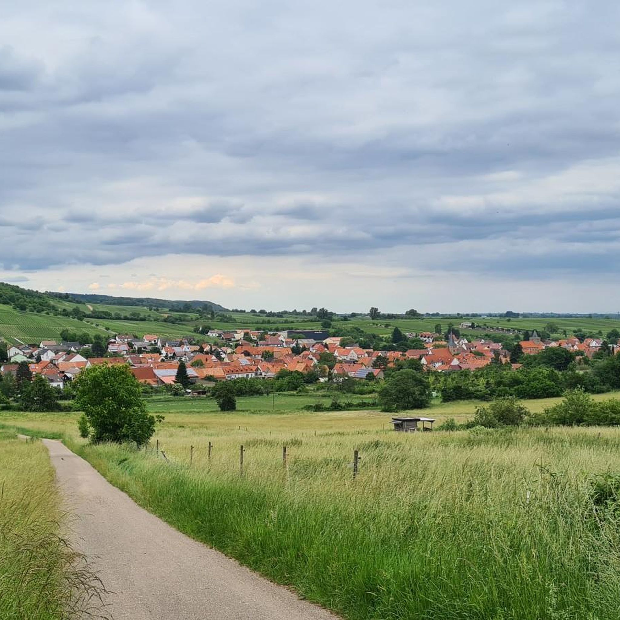
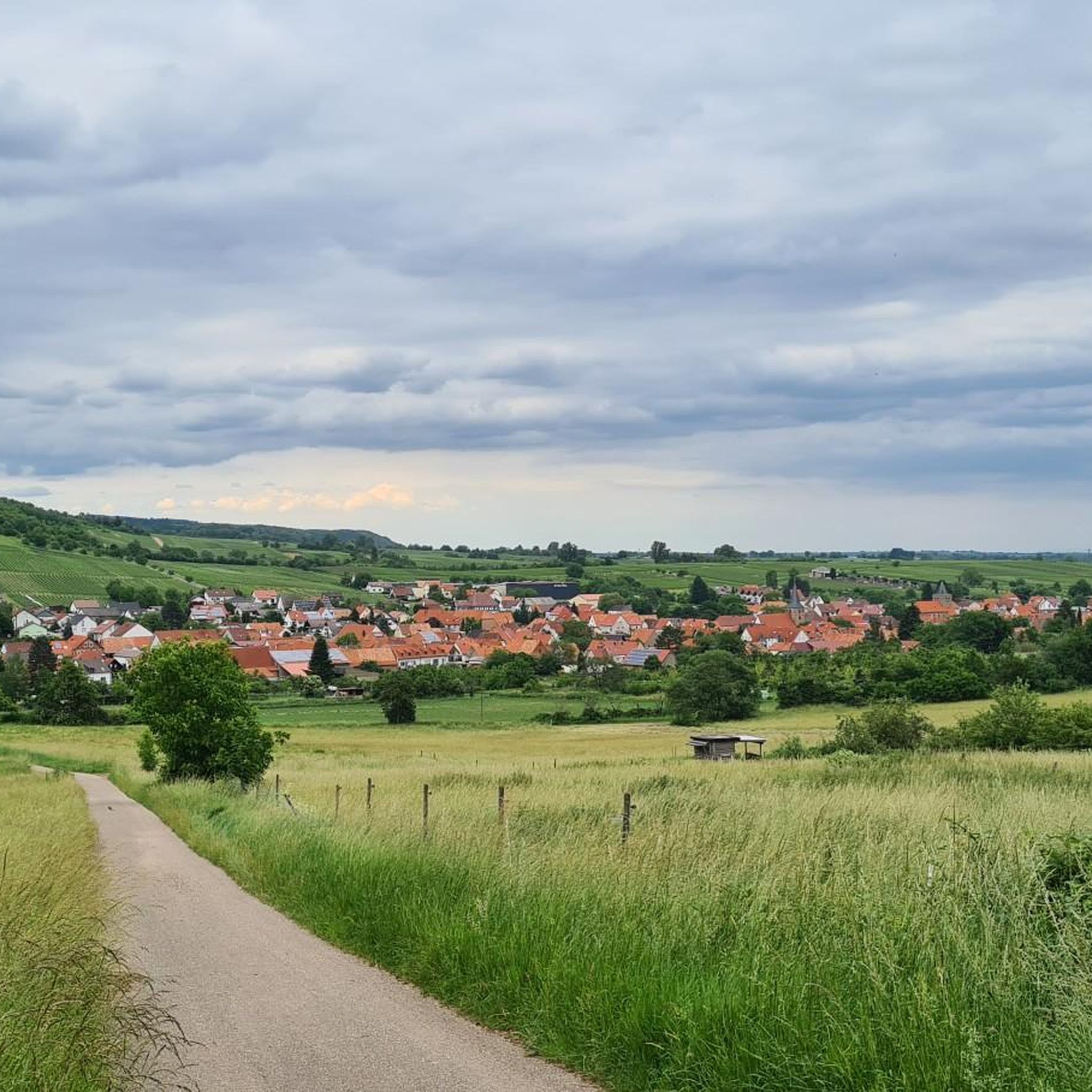
Mountaineering routes around Schweigen-Rechtenbach traverse a landscape characterized by the rolling hills of the Palatinate Forest and expansive vineyards. Situated near the German-French border, the region offers varied terrain with significant elevation changes, providing challenging routes for outdoor enthusiasts. This area features a mix of dense woodlands and open vineyard views, with many trails showcasing historical landmarks and unique rock formations.
Best mountaineering routes around Schweigen-Rechtenbach
- The most popular mountaineering route is Railway Cliff – Napoleon Rock loop from Bruchweiler-Bärenbach…
Last updated: October 9, 2026
4.8
(5)
11
hikers
12.7km
03:38
300m
300m
Moderate mountaineering route. Good fitness required. Easily-accessible paths. Suitable for all skill levels.
5.0
(1)
5
hikers
9.77km
03:13
350m
350m
Moderate mountaineering route. Good fitness required. Mostly accessible paths. Sure-footedness required.

5.0
(3)
7
hikers
Moderate mountaineering route. Good fitness required. Mostly accessible paths. Sure-footedness required.
5.0
(2)
6
hikers
Moderate mountaineering route. Good fitness required. Easily-accessible paths. Suitable for all skill levels.
5.0
(2)
3
hikers
7.72km
02:37
350m
350m
Moderate mountaineering route. Good fitness required. Mostly accessible paths. Sure-footedness required.
Our route recommendations are based on thousands of hikes, rides, and runs completed by other people on komoot.
Start today with a free account
Your next adventure awaits.
Popular around Schweigen-Rechtenbach

From the Vosges to the Jura mountains – Hexatrek, le Grand Est
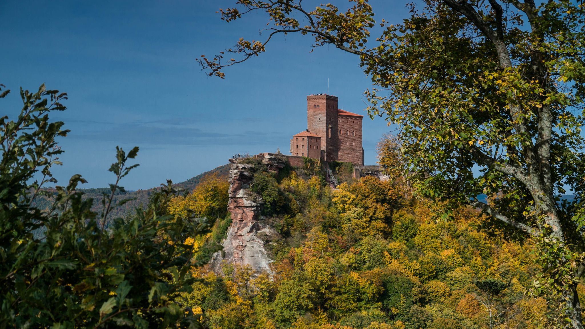
Castles in the Wasgau
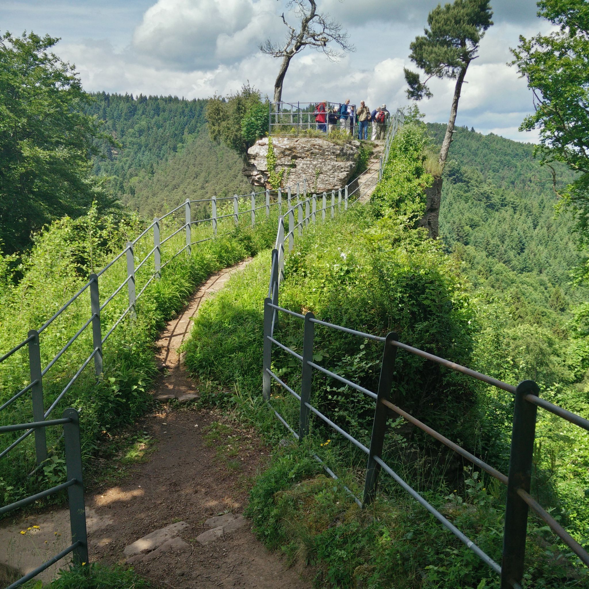
Hiking around Schweigen Rechtenbach
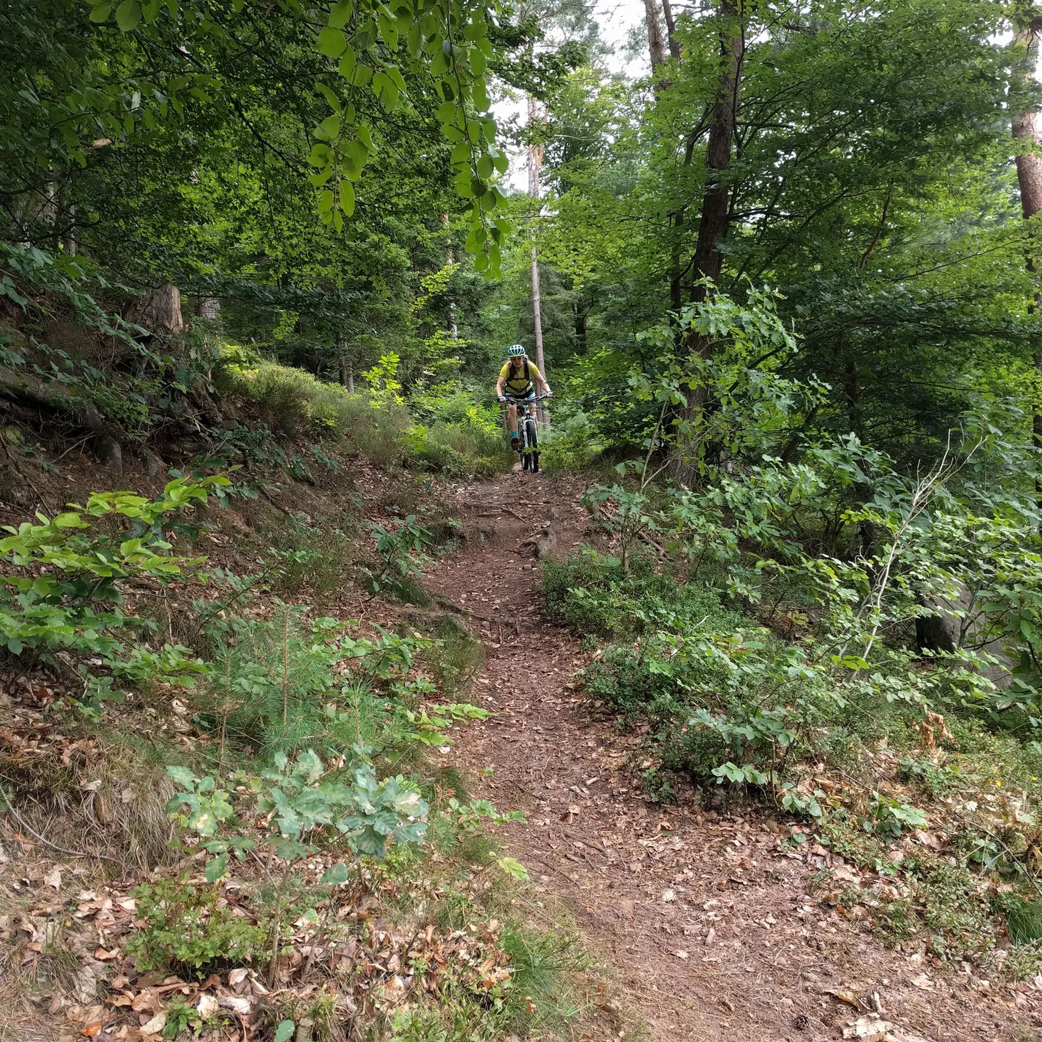
MTB Trails around Schweigen Rechtenbach
Cycling around Schweigen Rechtenbach
Road Cycling Routes around Schweigen Rechtenbach
Gravel biking around Schweigen Rechtenbach
Running Trails around Schweigen Rechtenbach
Other adventures around Schweigen Rechtenbach


Tips from the Community


Good starting point for the tour. Shady and free (as of 2026) parking spaces.
0
0

The term biosphere reserve originated in 1977 following UNESCO's investigations into the topic of Man and the Biosphere. These are protected areas of special ecological and cultural diversity.
7
0

Since parking in Nothweiler (exception: visitor parking lot of the visitor mine) is prohibited almost everywhere in the village, this visitor parking lot is very well suited as a starting point (for hikes to Wegelnburg, to Fleckenstein Castle ruins or for the German-French premium hiking trail "Grenzgängerweg").
1
0

Beautiful resting place right next to a sandstone cliff, and right next to it is the shaving area for elves (with power socket!).
5
0
This magnificent rock formation is reached via a path marked "difficult" as part of the Bärensteig trail. The trail is easily manageable, though "difficult" probably only because the path is somewhat steep in places.
7
0

A bit bumpy from the parking lot, but easily accessible - at least as far as the clearing with the impressive east wall.
3
0
A beautiful rock that can be walked around on both sides – at the top, a path also leads through a small gorge to the other side. For climbers, it offers some of the truly amazing lines in the Palatinate region, and is also of interest from a climbing history perspective due to the controversy surrounding the superlative and the subsequent use of motor oil for environmental protection.
4
0
Frequently Asked Questions
What is the typical difficulty level of mountaineering routes around Schweigen-Rechtenbach?
The mountaineering routes in the Schweigen-Rechtenbach area are generally rated as moderate. They feature varied terrain with significant elevation changes, making them suitable for those seeking a robust outdoor activity without requiring specialized climbing equipment. For example, the Bundenthal Hunting Hut – Geierstein rock formation loop from Bundenthal-Rumbach, a moderate 15.2 km path, offers the highest elevation gain among the popular routes.
How many mountaineering routes can I explore in the Schweigen-Rechtenbach area?
There are currently 5 distinct mountaineering routes available for exploration around Schweigen-Rechtenbach. These routes offer diverse experiences through the region's unique landscapes.
What kind of terrain can I expect on mountaineering routes near Schweigen-Rechtenbach?
Mountaineering routes around Schweigen-Rechtenbach traverse a landscape characterized by the rolling hills of the Palatinate Forest and expansive vineyards. You'll encounter a mix of dense woodlands, open vineyard views, and unique rock formations. The region's proximity to the German-French border also means you might find trails showcasing old boundary stones and cross-border views.
Are there any circular mountaineering routes available?
Yes, all the mountaineering routes listed for Schweigen-Rechtenbach are circular loops, offering convenient starting and ending points. An example is the Railway Cliff – Napoleon Rock loop from Bruchweiler-Bärenbach, which is 12.7 km long and takes about 3 hours 38 minutes to complete.
What historical sites or natural features can I discover along the mountaineering routes?
The routes often lead past significant historical and natural landmarks. You can explore sites like Hohenbourg Castle and Wegelnburg Castle Ruins, as seen on the Hohenbourg Castle – View from Wegelnburg Castle loop from Château de Fleckenstein. Other notable features include unique rock formations, such as those on the Railway Cliff – Napoleon Rock loop, and various viewpoints offering panoramic vistas of the Palatinate Forest and vineyards.
Are there any notable viewpoints on the mountaineering trails?
Absolutely. Many trails offer stunning views of the surrounding Palatinate Forest and vineyards. For instance, the View from Wegelnburg Castle – Hohenbourg Castle loop from Nothweiler provides excellent vistas. You can also find specific viewpoints like the View of Waldhambach and the Palatinate Forest from Treutelskopf or the Rötzen Cliffs, which are popular highlights in the region.
What do other mountaineers enjoy the most about mountaineering in Schweigen-Rechtenbach?
The area is highly rated by the komoot community, with an average score of 4.9 stars from over 10 reviews. Mountaineers often praise the varied terrain, the blend of dense woodlands and expansive vineyard views, and the historical landmarks encountered along the trails. The challenging yet rewarding nature of the moderate routes is also a frequent highlight.
Is Schweigen-Rechtenbach suitable for family-friendly mountaineering?
While all routes are currently rated as moderate, some shorter loops might be more suitable for active families. For example, the Hohenbourg Castle – View from Wegelnburg Castle loop from Château de Fleckenstein is 6.2 km and can be completed in about 2 hours, making it a good option for families looking for a less strenuous adventure with historical interest.
Can I bring my dog on the mountaineering routes?
Generally, dogs are welcome on hiking and mountaineering trails in the Palatinate Forest region. However, it's always advisable to keep your dog on a leash, especially in nature reserves, near wildlife, or in areas with livestock. Be sure to check local signage for any specific restrictions on individual trails.
What is the best time of year for mountaineering in Schweigen-Rechtenbach?
The region is beautiful year-round, but spring and autumn are particularly popular for mountaineering. In spring, the vineyards burst into life, and wildflowers bloom. Autumn offers stunning foliage colors and pleasant temperatures. Summer can be warm, but the forest sections provide welcome shade. Winter mountaineering is possible, but trails may be slippery or covered in snow, requiring appropriate gear.
Are there any cafes or pubs near the mountaineering trails in Schweigen-Rechtenbach?
Schweigen-Rechtenbach is nestled in the Southern Wine Route, so you'll find numerous opportunities to enjoy local cuisine and wine. Many villages along the trails, including Schweigen-Rechtenbach itself, offer traditional German restaurants, 'Weinstuben' (wine taverns), and cafes where you can refuel after your mountaineering adventure.
Do I need any special permits for mountaineering in this region?
No, generally, you do not need special permits for mountaineering or hiking on the marked trails around Schweigen-Rechtenbach. The trails are publicly accessible. However, always respect private property, follow local regulations, and stay on marked paths to protect the natural environment.
Where can I find parking for the mountaineering trailheads?
Many trailheads in the region, especially in and around villages like Schweigen-Rechtenbach, Bruchweiler-Bärenbach, and Bundenthal-Rumbach, offer designated parking areas. It's common to find parking available near popular starting points or at local community centers. Always look for official parking signs.
Most popular routes around Schweigen Rechtenbach
Most popular attractions around Schweigen Rechtenbach

Get inspired with the komoot mobile app


Explore more
Browse the best Mountain Hikes & Routes in other regions.
