The best road cycling routes around Malvières
4.8
(27)
673
riders
121
rides
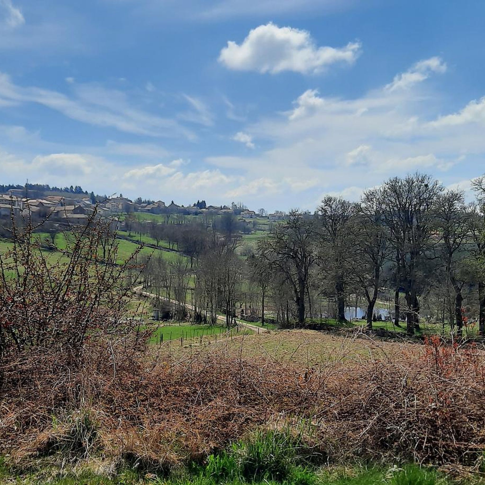
Road cycling routes around Malvières are situated in the Haute-Loire department of the Auvergne-Rhône-Alpes region in France, within the Parc Naturel Régional du Livradois-Forez. The area features a preserved natural environment with varied topography, including forests, rivers, and volcanic sites. With altitudes ranging from 668m to 1074m, the region offers diverse terrain with both climbs and descents, providing road cyclists with routes that include significant elevation changes and undulating sections.
Best road cycling routes around Malvières
- The most popular road…
Last updated: October 30, 2026
5.0
(2)
166
riders
102km
05:11
1,520m
1,520m
Hard road ride. Very good fitness required. Some segments of this route may be unpaved and difficult to ride.
8
riders
36.4km
01:44
390m
390m
Moderate road ride. Good fitness required. Mostly well-paved surfaces and easy to ride.

5.0
(1)
2
riders
83.9km
04:16
1,360m
1,360m
Hard road ride. Very good fitness required. Mostly well-paved surfaces and easy to ride.
8
riders
106km
05:24
1,720m
1,730m
Hard road ride. Very good fitness required. Some segments of this route may be unpaved and difficult to ride.
4
riders
21.1km
01:08
340m
340m
Moderate road ride. Good fitness required. Mostly well-paved surfaces and easy to ride.
Get access to more routes and recommendations from other explorers.
Already have an account?
Our route recommendations are based on thousands of hikes, rides, and runs completed by other people on komoot.
Start today with a free account
Your next adventure awaits.

Tips from the Community


In Vorey flows the Arzon. This charming village of Velay in the Haute-Loire department has a multimedia room on the town hall square with more than 200 seats. It is dedicated to culture and shows. On the program at L’Embarcadère: plays, conferences and cinema. Who is talking about a cultural desert here? A good example of promoting culture in the countryside.
0
0

Small wooded road, few cars, with a pleasant slope to climb.
0
0

This part offers a beautiful view of the village of Saint-Pal-de-Senouire. We can see the Saint-Paul church which sits at the top of the rocky promontory on which the village was built.
1
0

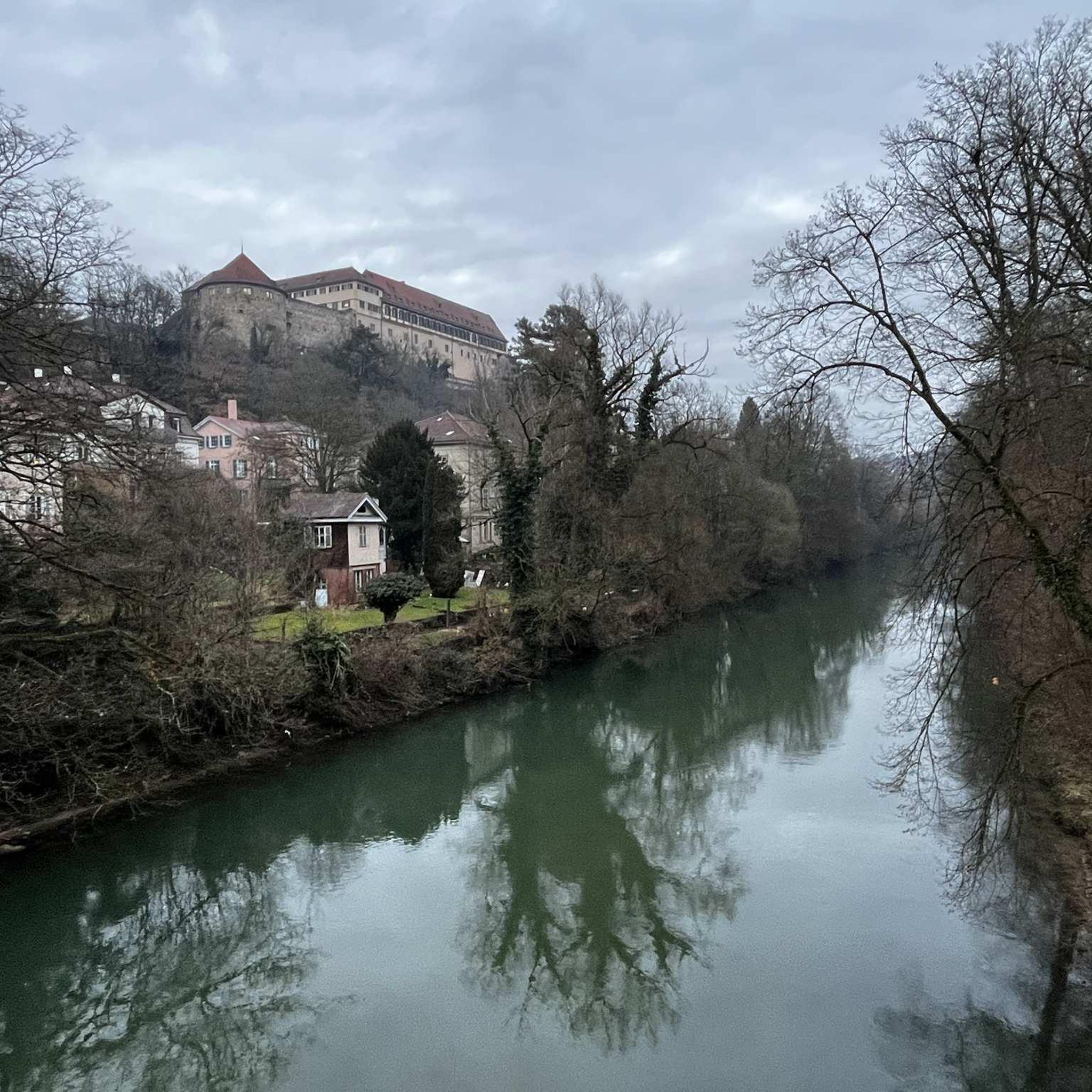
In Retournac, the stone bridge that spans the Loire is called the Human Rights Bridge. Built in stone and on a model of lowered arches, the bridge and its sidewalks offer walkers pleasant views of the river and the mountains which dominate it.
0
0

and another good bridge over the Loire
0
0

The Col de la Dételée is 18.85 km long with a total drop of 606 m. The average gradient is 3.2% with maximum gradients of 9%.
1
0
The Saint-Jean church is a catholic church in Ambert. It was built between 1471 and 1518. It is classified as a historical monument.
2
0
Frequently Asked Questions
How many road cycling routes are available around Malvières?
There are over 110 road cycling routes available around Malvières, offering a wide range of options for different skill levels. The region is highly rated by the komoot community, with an average score of 4.8 stars from over 30 reviews.
What kind of terrain can I expect on road cycling routes around Malvières?
Road cycling around Malvières offers diverse terrain, characterized by volcanic sites, river gorges, and high-altitude moorlands. You can expect varied topography with both climbs and descents, as altitudes range from 668m to 1074m. The nearby Monts du Forez, for instance, are known for undulating terrain and significant elevation changes.
Are there challenging road cycling routes for experienced cyclists?
Yes, Malvières offers challenging routes for experienced cyclists. Over 60 routes are classified as difficult, featuring demanding ascents and descents. For example, the La Chaise-Dieu – Abbaye de La Chaise-Dieu (43) loop from La Chaise-Dieu is a difficult 41.5-mile (66.8 km) trail with significant elevation gain.
Are there road cycling routes suitable for beginners or families in Malvières?
While many routes in Malvières feature significant elevation changes, there are options suitable for those seeking a more moderate experience. The region has over 50 moderate routes. For families, consider routes that stick to flatter sections or designated paths, though specific family-friendly routes are not explicitly highlighted in the data.
When is the best time of year for road cycling in Malvières?
The Auvergne-Rhône-Alpes region generally offers pleasant cycling conditions from spring through autumn. Given the varied altitudes and potential for challenging mountain passes, late spring, summer, and early autumn are typically ideal, avoiding the colder months and potential for snow at higher elevations.
What are some scenic viewpoints or landmarks to see while road cycling around Malvières?
While cycling, you can encounter several scenic points and landmarks. The region is known for its volcanic sites and river gorges, such as the Gorges de l'Allier and the Loire River. You might also pass by historical sites like the La Chaise-Dieu Abbey Church or the town of La Chaise-Dieu itself. The Viewpoint over Saint-Pal-de-Senouire offers panoramic vistas.
Can I find circular road cycling routes in Malvières?
Yes, many of the road cycling routes around Malvières are designed as loops. For example, the Saint-Robert Abbey Church – La Chaise-Dieu loop from La Chaise-Dieu is a popular moderate 31.5-mile (50.8 km) circular path offering scenic views.
Where can I find parking for road cycling routes in Malvières?
Specific parking locations are not detailed in the route descriptions, but starting points for many routes are often in or near towns like La Chaise-Dieu. It is advisable to check local signage for public parking availability in these areas before your ride.
Is public transport available to access road cycling routes in Malvières?
Information on specific public transport links directly to road cycling route starting points in Malvières is limited. The region is rural, so public transport options might be infrequent. It's recommended to check local bus or train schedules for the Haute-Loire department if you plan to rely on public transport.
Are there places to eat or stay along the road cycling routes?
While specific cafes or accommodations directly on every route are not listed, towns like La Chaise-Dieu, which serve as starting points for many routes, typically offer amenities such as cafes, restaurants, and lodging options for cyclists. The broader Auvergne-Rhône-Alpes region is well-equipped for tourism.
What gear should I consider for road cycling in Malvières?
Given the varied terrain, including significant climbs and descents, a well-maintained road bike with appropriate gearing is essential. Depending on the season, layers of clothing are recommended due to potential temperature changes with altitude. Always carry water, snacks, a repair kit, and navigation tools.
What do other road cyclists enjoy the most about road cycling in Malvières?
The area is highly rated by the komoot community, with an average score of 4.8 stars. Cyclists often praise the diverse and preserved natural environment, including forests, rivers, and volcanic sites, as well as the engaging terrain with both climbs and descents that make for an exciting ride.
Can I explore routes that pass by water features?
Yes, the region is characterized by its rivers and gorges. The Plan d'Eau de La Tour loop from La Chaise-Dieu is a 23.9-mile (38.4 km) trail that leads through forests and past water features, offering a scenic experience.
Most popular attractions around Malvières

Get inspired with the komoot mobile app


Explore more
Browse the best Road cycling routes in other regions.
