The best cycling routes around Queyrières
4.5
(156)
1,542
riders
157
rides
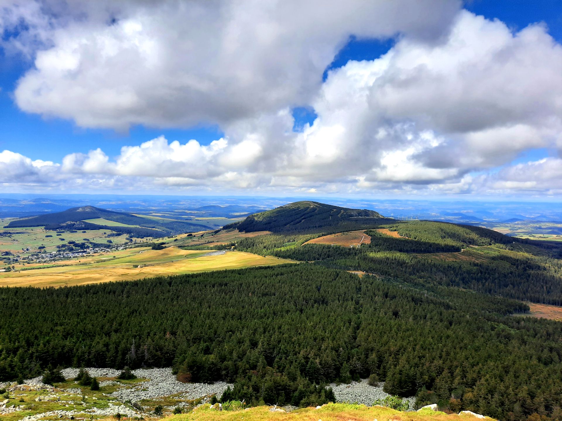
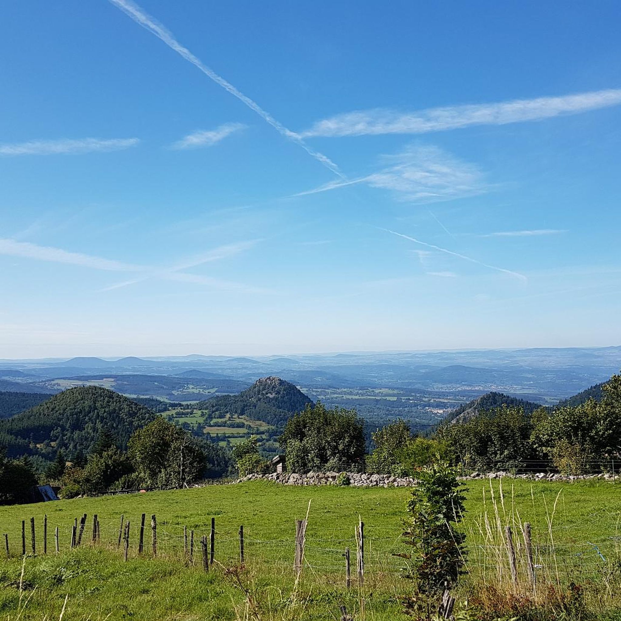
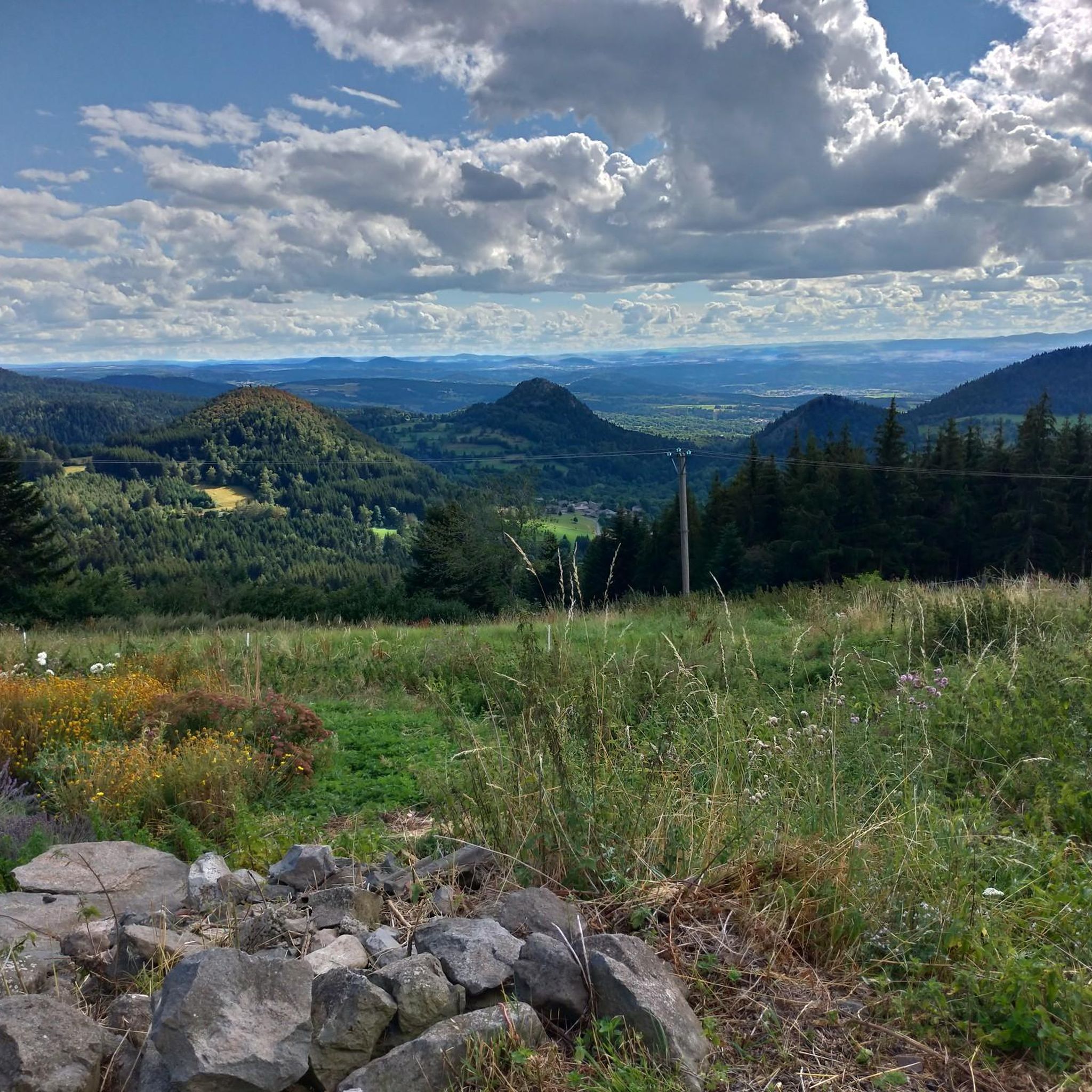
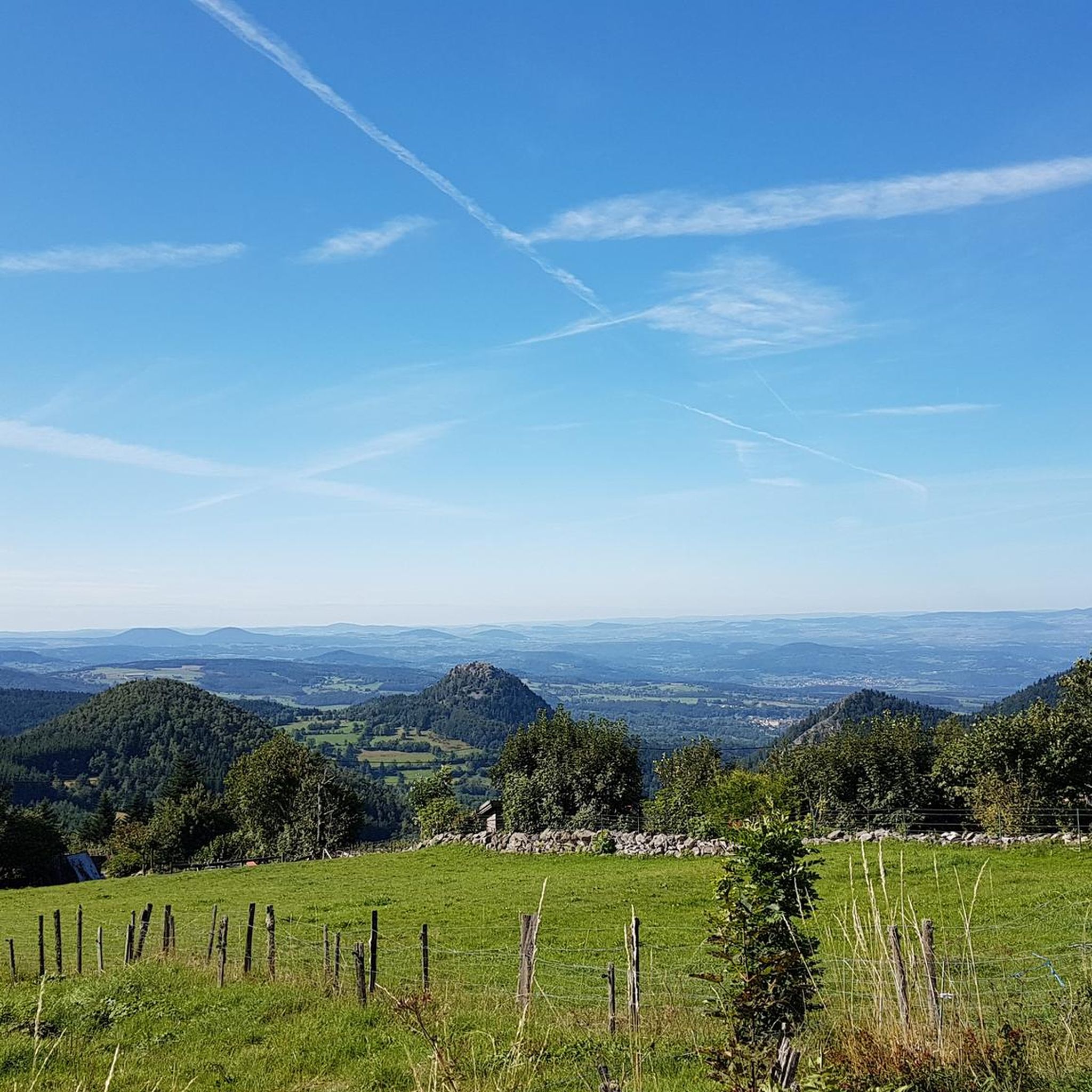
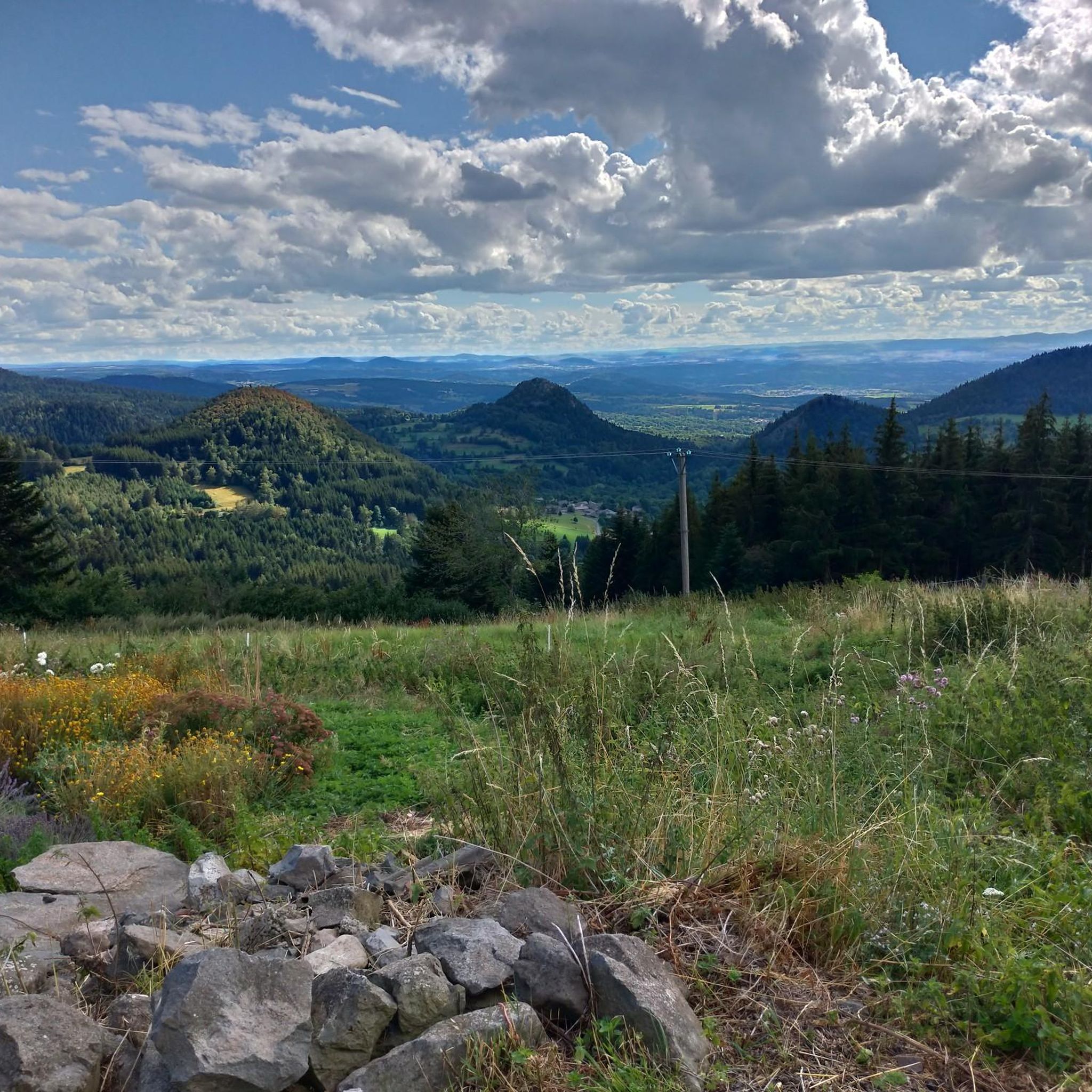
Touring cycling routes around Queyrières offer varied terrain within the "Pays des Sucs," an area shaped by ancient volcanoes in the Haute-Loire department. The region features basaltic rocks and volcanic formations, including the "Rocher de Queyrières." Extensive forests cover 52% of the municipal area, complemented by 40% meadows, providing a verdant setting for outdoor pursuits. Mont Testavoyre, at 1,436 meters, is the highest point, offering panoramic views of the surrounding Meygal "sucs."
Best touring cycling routes around Queyrières
- The most popular touring cycling route is Monedeyres – Queyrières volcano loop from Queyrières, a 13.7 miles (22.1 km) trail that takes 2 hours 18 minutes to complete, exploring the area's volcanic landscape.
- Another top favourite among local touring cyclists is Le Suchaillou – Basalt organ of Queyrières loop from Le Pertuis, a difficult 19.3 miles (31.0 km) path, passing by the unique basalt organ formations.
- Local touring cyclists also love the Col de la Croix de Peccata – Quiet road with great views loop from Parking de Chièze, a 32.6 miles (52.5 km) trail leading through quiet roads with scenic vistas, often completed in about 3 hours 33 minutes.
- Touring cycling around Queyrières is defined by volcanic formations, dense forests, and open meadows. The network offers options for easy, moderate, and difficult routes, catering to various ability levels.
- The routes in Queyrières are highly rated by the komoot community with an average score of 4.5 stars from more than 90 reviews. More than 1000 touring cyclists have used komoot to explore Queyrières's varied terrain.
Last updated: October 3, 2026
4.5
(2)
9
riders
69.9km
04:42
1,070m
1,070m
Hard bike ride. Very good fitness required. You may need to push your bike for some segments of this route.
5.0
(1)
12
riders
26.3km
02:13
580m
580m
Hard bike ride. Very good fitness required. You may need to push your bike for some segments of this route.

6
riders
34.6km
02:33
730m
730m
Hard bike ride. Very good fitness required. Mostly paved surfaces. Suitable for all skill levels.
10
riders
41.1km
04:00
1,150m
1,150m
Hard bike ride. Very good fitness required. You may need to push your bike for some segments of this route.
7
riders
34.8km
03:14
870m
870m
Hard bike ride. Very good fitness required. You may need to push your bike for some segments of this route.
Get access to more routes and recommendations from other explorers.
Already have an account?
Our route recommendations are based on thousands of hikes, rides, and runs completed by other people on komoot.
Start today with a free account
Your next adventure awaits.

Other adventures around Queyrières

Tips from the Community

located directly at the tourist information, pump and tools in good condition. Toilets and washroom just around the corner
0
0

Beautiful viewpoint overlooking the village. Be careful on the climb to the cross; the rock is polished, and there's a risk of falling!
0
0

This lake located at an altitude of over 1200 m has magnificent colours
0
0

Culminating at more than 1,250 meters, Lake Saint-Front is the highest lake in Haute-Loire. This natural lake of volcanic origin is seven meters deep and underneath is 47 meters of mud accumulated over geological time.
0
0
The town of Saint-Julien-Chapteuil is nestled in the heart of the Meygal massif. The town retains traces of its medieval past and you can appreciate its beautiful church and the ruins of the Château de Chapteuil. It is a town which has its own identity, offering all services and which has many shops.
0
0


One of the unmissable natural monuments of Haute-Loire, discover the Corboeuf ravine, a canyon of multicolored clay in Rosières between the volcanoes and the Suissesse gorges.
0
0
Frequently Asked Questions
How many touring cycling routes are available around Queyrières?
There are over 150 touring cycling routes around Queyrières. This includes 4 easy routes, 50 moderate routes, and 101 difficult routes, offering a wide range of options for different skill levels.
What kind of terrain can I expect on touring cycling routes in Queyrières?
Queyrières is situated in the "Pays des Sucs," an area shaped by ancient volcanoes. You can expect varied terrain featuring basaltic rocks and volcanic formations, dense forests covering 52% of the area, and open meadows. Routes often include elevation changes, providing panoramic views of the surrounding Meygal "sucs" (ancient volcanoes).
Are there any easy touring cycling routes suitable for beginners or families?
Yes, there are 4 easy touring cycling routes available in Queyrières. While specific family-friendly routes are not detailed, the region's general characteristics, including the Greenway along the Siaulme river, offer magnificent and secure cycle tracks through woods and fields, which could be suitable for a more relaxed ride.
What are some notable natural landmarks or attractions I can see while cycling?
The region is rich in natural beauty. You can encounter impressive volcanic formations like the Basalt organ of Queyrières and the Queyrières volcano. Other natural highlights include the Lac de Saint-Front and the Suc de Chapteuil. For breathtaking vistas, consider routes that pass by the Montjoie Viewpoint.
Are there any circular touring cycling routes in Queyrières?
Yes, many routes in Queyrières are designed as loops. For example, you can explore the volcanic landscape on the Monedeyres – Queyrières volcano loop from Queyrières, or experience unique basalt formations on the Le Suchaillou – Basalt organ of Queyrières loop from Le Pertuis. Another option is the Col de la Croix de Peccata – Quiet road with great views loop from Parking de Chièze, offering scenic vistas.
What do other touring cyclists say about the routes in Queyrières?
The touring cycling routes in Queyrières are highly rated by the komoot community, with an average score of 4.5 stars from over 90 reviews. Over 1000 touring cyclists have used komoot to explore the area, often praising the varied terrain, the stunning volcanic landscapes, and the peaceful atmosphere of the forests and meadows.
Can I find routes that offer great panoramic views?
Absolutely. The region is known for its panoramic views, especially from elevated points. Mont Testavoyre, the highest point in the commune, offers a breathtaking 360-degree view of the surrounding Meygal "sucs." Routes like the Col de la Croix de Peccata – Quiet road with great views loop from Parking de Chièze are specifically highlighted for their scenic vistas.
Are there any routes that pass by historical or cultural points of interest?
While the focus is often on natural landscapes, you can find routes that pass by cultural landmarks. For instance, the Bellecombe Abbey – Tour of the Suc loop from Araules offers a blend of natural beauty and historical context. You might also encounter structures like the Croix de Couvet or the Notre-Dame Church along various paths.
What is the best time of year for touring cycling in Queyrières?
Given the region's extensive forests and meadows, spring and autumn would likely offer pleasant temperatures and beautiful scenery. The area's volcanic nature means varied terrain, so avoiding the hottest summer months for strenuous rides might be advisable, though the verdant landscapes are enjoyable year-round.
Are there any specific routes that are particularly challenging?
Yes, a significant portion of the routes in Queyrières are rated as difficult, with 101 such routes available. These often involve considerable elevation changes. An example is the Lake Saint-Front – Lake St front loop from Saint-Julien-Chapteuil, which covers 45.7 km with over 1000 meters of elevation gain.
Is there a good place to relax or have a picnic after a ride?
Within the village of Queyrières, Le Coudert offers a relaxation area with amenities such as picnic tables, a petanque court, and a ping-pong table. This makes it a perfect spot to unwind after exploring the cycling routes.
Are there any unique features related to the night sky in Queyrières?
Yes, Queyrières is recognized as a "Starry Village." This means public lighting is switched off from 11 p.m. to 6 a.m., creating ideal conditions for admiring the night sky. While not directly related to daytime cycling, it adds a unique charm to the overall experience of visiting the area.
Most popular routes around Queyrières
Most popular attractions around Queyrières

Get inspired with the komoot mobile app


Explore more
Browse the best Cycling routes in other regions.
