The best road cycling routes around Auzers
4.5
(47)
1,186
riders
79
rides
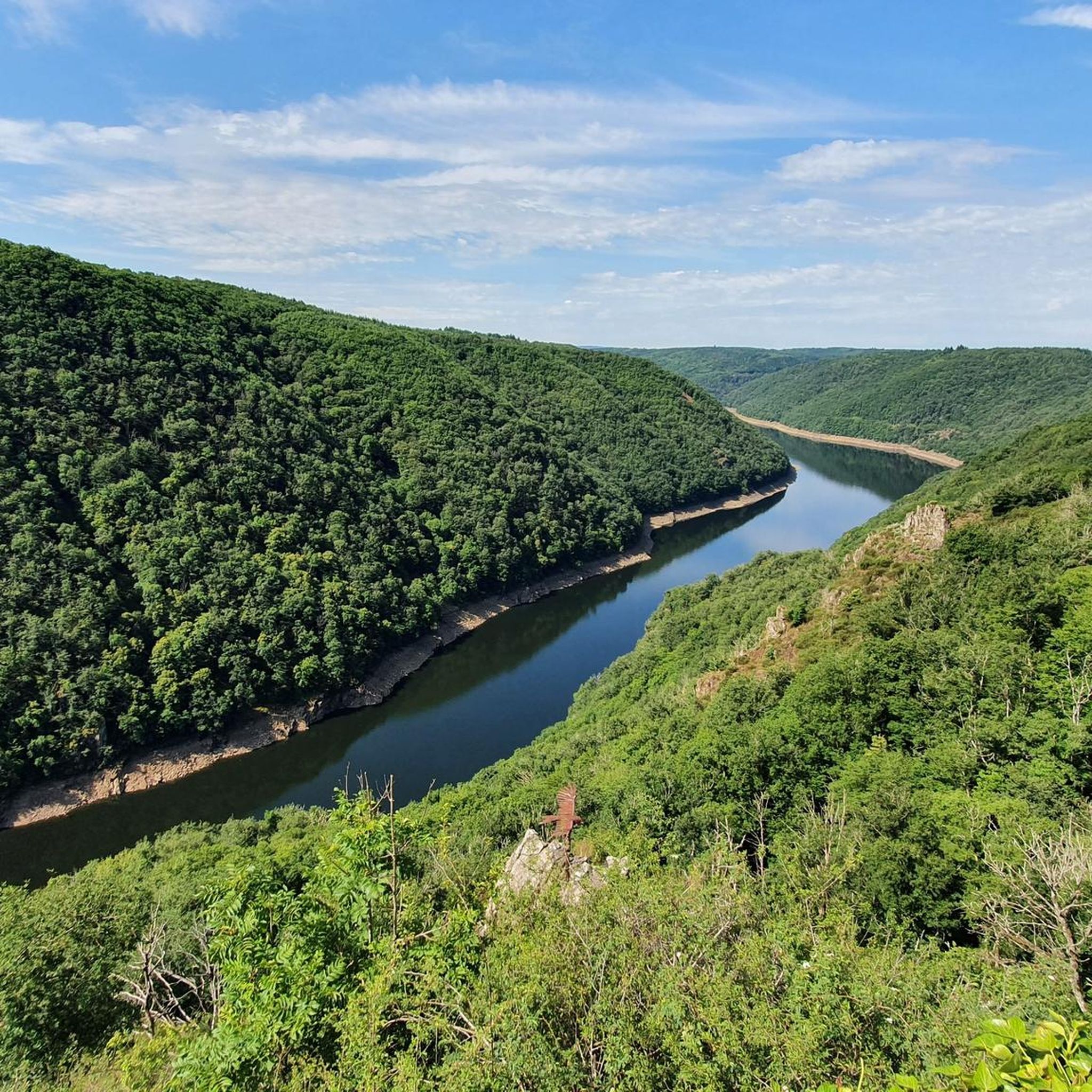
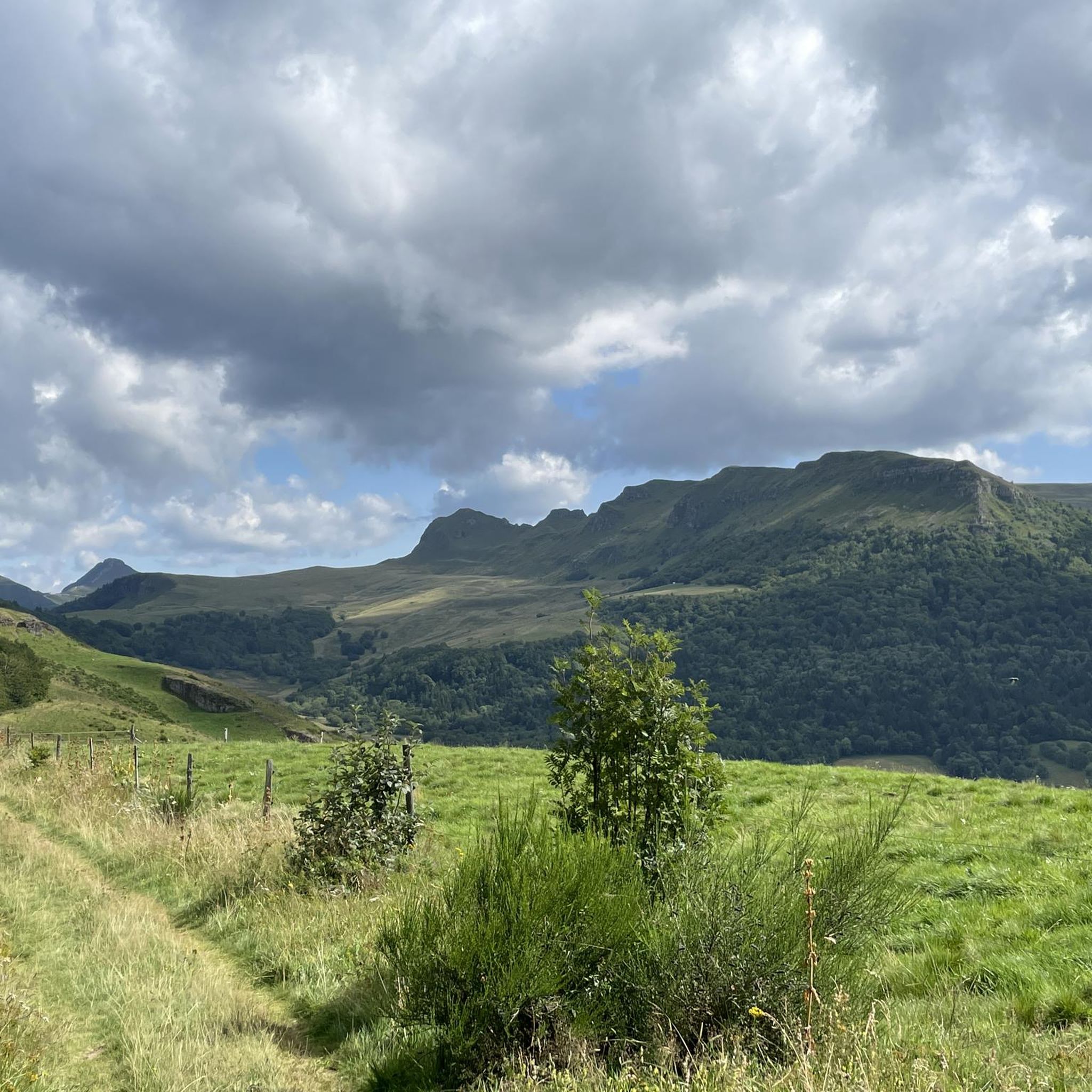
Road cycling around Auzers, located in the Cantal department of south-central France, offers diverse terrain within the Auvergne-Rhône-Alpes region. The area is characterized by the landscapes of Haute Auvergne and the visible Mounts of Cantal, providing a hilly and varied topography. Cyclists can expect views of forests, mountain pastures, lakes, and rivers, contributing to a varied landscape.
Best road cycling routes around Auzers
- The most popular road cycling route is Greenway in Sumène-Artense – Greenway in Sumène-Artense loop from Vendes…
Last updated: October 5, 2026
5.0
(1)
27
riders
41.2km
01:51
410m
410m
Moderate road ride. Good fitness required. Mostly well-paved surfaces and easy to ride.
5.0
(2)
17
riders
38.6km
01:58
630m
630m
Moderate road ride. Good fitness required. Mostly well-paved surfaces and easy to ride.

5.0
(3)
16
riders
43.9km
02:13
730m
730m
Moderate road ride. Good fitness required. Mostly well-paved surfaces and easy to ride.
12
riders
89.3km
04:21
1,310m
1,310m
Hard road ride. Very good fitness required. Mostly well-paved surfaces and easy to ride.
11
riders
47.3km
02:44
1,070m
1,070m
Hard road ride. Very good fitness required. Some segments of this route may be unpaved and difficult to ride.
Get access to more routes and recommendations from other explorers.
Already have an account?
Our route recommendations are based on thousands of hikes, rides, and runs completed by other people on komoot.
Start today with a free account
Your next adventure awaits.



Tips from the Community

At least 5 possibilities to climb it. Only the direct ascent via Falgoux is difficult with 4 km at an average of 9%. But the view is not extraordinary in the forest.
0
0

There is light in the tunnel, very good to ride
0
0
Unfortunately, there is no longer a connection for trains, but shortly behind the town center, the very good cycle path (voie verte) begins.
0
0

Either stressful or relaxed from Puy Mary.
1
0
from this side relaxed driveway, partly beautiful view
4
0

From Salers, a pass with low percentages but with a magnificent view of the Santoire valley.
1
0

Unobstructed view of Lake Lastouille, which is very popular for swimming and fishing. It is entirely bordered by forests and summer pastures and is one of the largest water reservoirs in the Dordogne basin. Absolutely perfect for a dip in hot weather!
0
0
All asphalted greenway, which passes through the small village of Ydes. In the heart of the Massif Central, it extends over fourteen kilometers and connects Cheyssac to Parensol.
1
0
Frequently Asked Questions
How many road cycling routes are available around Auzers?
There are over 80 road cycling routes around Auzers, catering to various skill levels. You'll find a mix of easy, moderate, and difficult rides, with 5 easy, 41 moderate, and 40 difficult routes available.
What kind of terrain can I expect when road cycling in Auzers?
Auzers is characterized by the hilly and varied topography of Haute Auvergne and the Mounts of Cantal. You can expect scenic views of forests, mountain pastures, lakes, and rivers, with elevations ranging from 440 to 908 meters. The region offers diverse routes, including well-paved greenway sections and more challenging climbs.
Are there any easy road cycling routes suitable for beginners or families in Auzers?
Yes, Auzers offers several easy road cycling routes. A great option is the Greenway in Sumène-Artense loop from Saignes, which is 27.8 km long with 225m of elevation gain, largely following well-paved greenway sections.
What are some challenging road cycling routes for experienced cyclists?
For experienced cyclists seeking a challenge, the region offers routes with significant elevation gains. A demanding option is the Lac de Lastioulles – Greenway in Sumène-Artense loop from Vendes, which covers 89.3 km with over 1,300m of elevation gain.
What natural features and landmarks can I see along the road cycling routes?
Road cycling routes around Auzers offer views of the stunning landscapes of Haute Auvergne and the Mounts of Cantal. You can also encounter specific natural attractions like the Salins Waterfall and the Pont de Vernéjoux, a bridge spanning the Dordogne River.
Are there any historical attractions accessible by road bike?
Absolutely. The historic Château d'Auzers, a medieval castle built between 1470 and 1510, is a prominent landmark. The Besseyre Pass – Château d'Auzers loop from Trizac is a moderate 44.0 km route that passes by this notable attraction.
Are there any routes that feature greenways?
Yes, the region is known for its greenways. The Greenway in Sumène-Artense extends over 14 kilometers, providing mostly well-paved and easy-to-ride sections. Routes like the Greenway in Sumène-Artense – Public water tap loop from Vendes utilize these pleasant paths.
What do other road cyclists enjoy most about cycling in Auzers?
The road cycling routes around Auzers are highly rated by the komoot community, with an average score of 4.4 stars from over 30 reviews. Cyclists often praise the varied terrain, the scenic views of forests and mountains, and the well-maintained greenway sections that cater to different ability levels.
Are there any good loop routes for road cycling?
Many of the road cycling routes in Auzers are designed as loops, offering convenient starting and ending points. Examples include the Scenic Country Road loop from Le Monteil, a moderate 39.5 km ride, and the Greenway in Sumène-Artense – Public water tap loop from Vendes.
When is the best time of year for road cycling in Auzers?
The region offers pleasant conditions for road cycling during the warmer months, typically from spring through autumn. Summer provides long daylight hours and generally stable weather, ideal for exploring the diverse landscapes and attractions.
Most popular attractions around Auzers

Get inspired with the komoot mobile app


Explore more
Browse the best Road cycling routes in other regions.
