The best road cycling routes around Saint-Pal-De-Chalencon
4.7
(31)
823
riders
14
rides
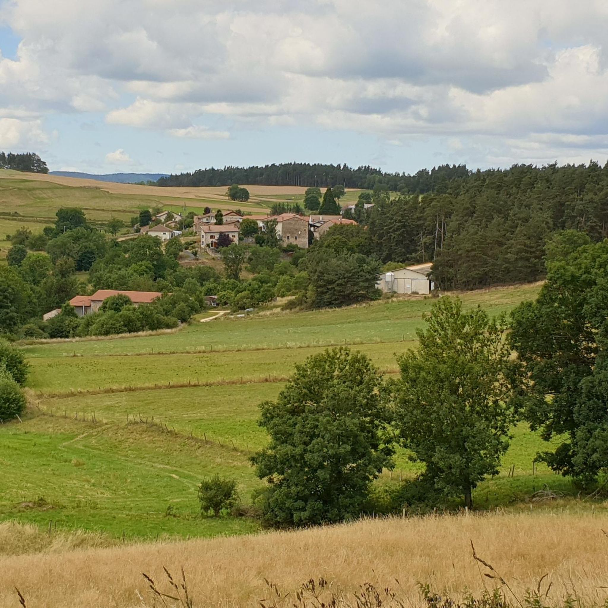
Road cycling routes around Saint-Pal-De-Chalencon are situated in the Haute-Loire region of Auvergne-Rhône-Alpes, within the Ance valley. The area features a hilly topography, with elevations around 887 meters, providing varied terrain for road cyclists. The landscape includes forests, river valleys, and volcanic formations like the Bourianne lava flow. Proximity to the Monts du Forez and Livradois-Forez Natural Park contributes to a network of roads with significant elevation changes.
Best road cycling routes around Saint-Pal-De-Chalencon
- The most popular road cycling route…
Last updated: May 20, 2026
5.0
(2)
9
riders
50.8km
02:30
770m
760m
Moderate road ride. Good fitness required. Mostly well-paved surfaces and easy to ride.
5
riders
43.9km
02:20
820m
820m
Moderate road ride. Good fitness required. Mostly well-paved surfaces and easy to ride.

Sign up for free
5
riders
Moderate road ride. Good fitness required. Mostly well-paved surfaces and easy to ride.
7
riders
36.0km
01:44
500m
500m
Moderate road ride. Good fitness required. Mostly well-paved surfaces and easy to ride.
4
riders
23.3km
01:06
290m
290m
Easy road ride. Great for any fitness level. Mostly well-paved surfaces and easy to ride.
Get access to more routes and recommendations from other explorers.
Sign up for free
Already have an account?
Our route recommendations are based on thousands of hikes, rides, and runs completed by other people on komoot.
Start today with a free account
Your next adventure awaits.
Login or Signup

Tips from the Community

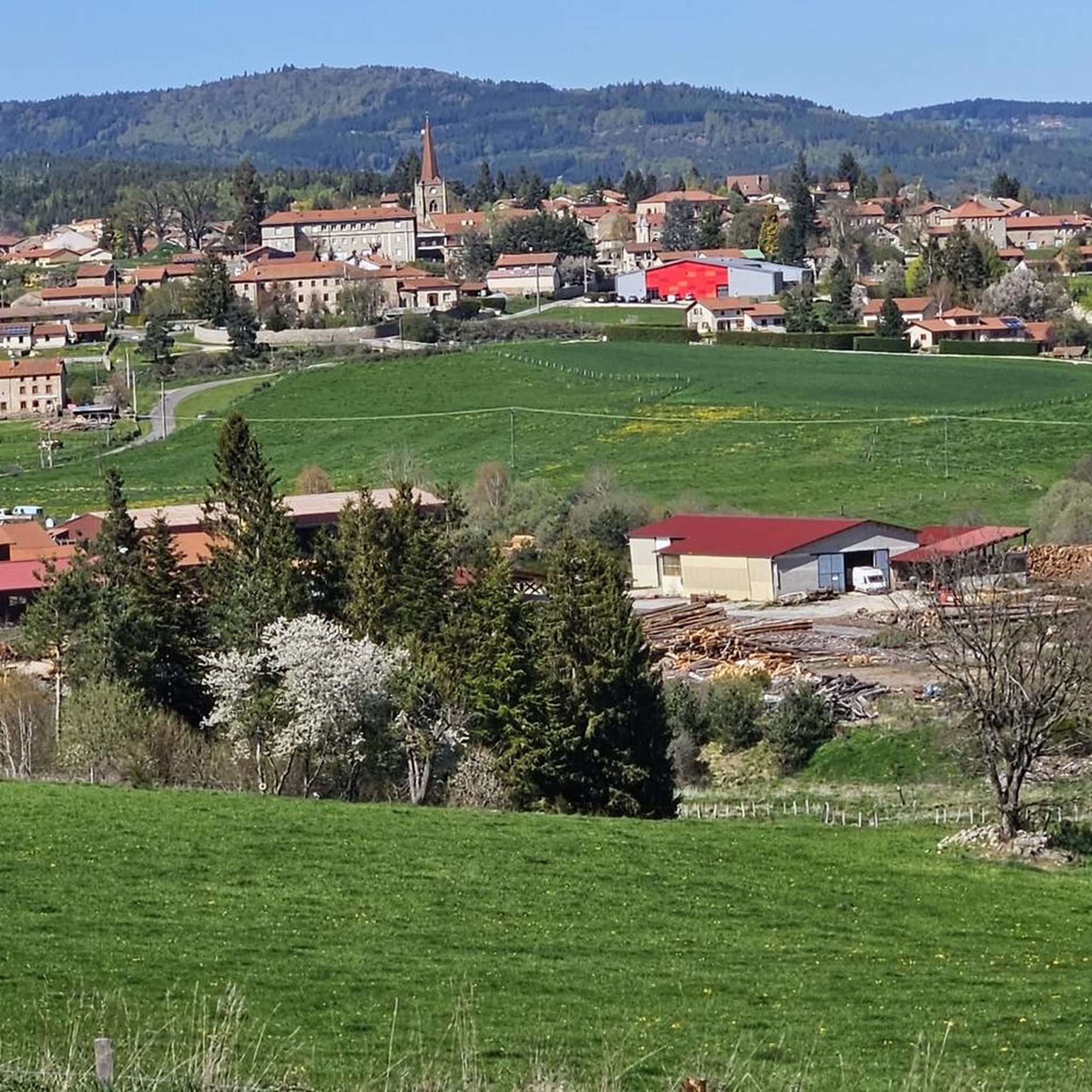
The Saint-Paul church, from the 14th century and formerly attached to the monastery of La Chaise-Dieu, is an extension of the castle. It is easily recognizable from the surrounding area thanks to its spire at the top of its bell tower. Restoration work was undertaken in the 19th century.
0
0

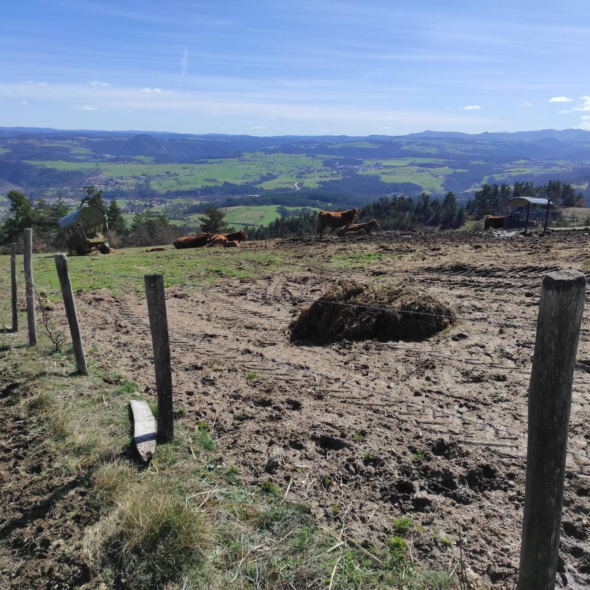
From Montarcher you have a breathtaking view of the Loire Valley all the way to the Alps
0
0

Church in the middle of Usson-en-Forez
0
0

Estivareilles is a pretty little town located on the paths to Compostela as well as on the GR 3. Its town is home to a handful of shops to keep you supplied. For a few dollars, the town hall provided a place to spend the night.
0
0
Ferréol is a small hamlet whose old volcanic stones bear witness to the rich geological history of the region. On its central square, a fountain allows you to fill your bottle with fresh water.
0
0

Montarcher, a small town in the heart of southern Haut-Forez, perched at 1162 meters, offers an exceptional panorama over the Velay and the Forez. Registered site, Montarcher is classified "Village of character" and has a remarkable heritage.
4
0


On a clear day, there is a fantastic view from up here.
8
0
Frequently Asked Questions
How many road cycling routes are available around Saint-Pal-de-Chalencon?
There are over 10 road cycling routes available around Saint-Pal-de-Chalencon, all of which are rated as moderate difficulty, offering varied terrain and significant elevation changes.
What is the typical difficulty level for road cycling routes in this region?
The road cycling routes around Saint-Pal-de-Chalencon are generally rated as moderate. The region's hilly topography means you can expect significant elevation changes, with routes often featuring considerable meters of ascent, making them suitable for cyclists with good to very good fitness levels.
Are there any routes with notable climbs or elevation gains?
Yes, many routes in the area feature substantial elevation gains. For instance, the Saint Paul Church loop from Saint-Pal-de-Chalencon includes over 820 meters of ascent, while the View From Montarcher Cross loop from Saint-Pal-de-Chalencon climbs over 760 meters.
What kind of landscapes can I expect to see while road cycling near Saint-Pal-de-Chalencon?
You can expect diverse and picturesque scenery. Routes wind through the Ance valley, offering views of the Monts du Forez and the Livradois-Forez Natural Park. The landscape is characterized by extensive forests, river valleys, and dramatic volcanic formations, including ancient basaltic flows.
Are there any historical landmarks or viewpoints along the cycling routes?
Yes, the region is rich in historical and scenic points. You can cycle past the medieval town of Saint-Pal-de-Chalencon itself, or explore areas near the feudal village of Chalencon. For panoramic views, consider routes that pass near Montarcher, which offers exceptional vistas extending from Mont Blanc to Mont Mézenc.
What natural features can be explored near the road cycling routes?
The area boasts several impressive natural features. The Andrable Valley is home to the Saut du Bezan waterfall. You can also find the Bourianne lava flow, a significant geological site with distinctive hexagonal prisms, and the Creux de l'Oulette Waterfall.
Is Saint-Pal-de-Chalencon a good destination for family-friendly road cycling?
While all listed routes are moderate and feature significant elevation changes, making them more suitable for experienced cyclists, the region offers a beautiful backdrop. For families, it's advisable to assess the specific route profiles and consider shorter, less challenging sections or dedicated family cycling paths if available locally, as the main road cycling routes are quite demanding.
What do other road cyclists enjoy the most about road cycling in Saint-Pal-de-Chalencon?
The area is highly rated by the komoot community, with an average score of 4.7 stars from over 20 reviews. Cyclists often praise the challenging yet rewarding hilly terrain, the stunning panoramic views, and the opportunity to explore a region rich in natural beauty and historical charm.
When is the best time of year for road cycling in Saint-Pal-de-Chalencon?
The best time for road cycling in Saint-Pal-de-Chalencon is typically during the spring, summer, and early autumn months. These seasons offer more favorable weather conditions, allowing you to fully enjoy the region's diverse landscapes and challenging routes without the concerns of winter conditions.
Are there any specific attractions to visit near the cycling routes?
Beyond the natural beauty, you can explore the medieval architecture of Saint-Pal-de-Chalencon itself, a 'Petite Cité de Caractère'. Other nearby attractions include the village of Valprivas with its castle, and the Neolithic Polisher of 'Chier Marty', a historical granite rock.
Where can I find parking for road cycling in Saint-Pal-de-Chalencon?
Saint-Pal-de-Chalencon, as a small town, typically offers various public parking options within or on the outskirts of the village. It's advisable to look for designated parking areas near the town center or starting points of routes, which are usually well-indicated.
Can I access the road cycling routes using public transport?
Public transport options directly to Saint-Pal-de-Chalencon might be limited, given its rural setting in the Haute-Loire region. It's recommended to check local bus schedules or regional train connections to nearby larger towns, and then plan for a final leg of travel to Saint-Pal-de-Chalencon, potentially by car or a shorter ride.
Most popular routes around Saint-Pal-De-Chalencon
Most popular attractions around Saint-Pal-De-Chalencon

Get inspired with the komoot mobile app


Explore more
Browse the best Road cycling routes in other regions.
