The best road cycling routes around Collandres
4.8
(64)
1,236
riders
78
rides
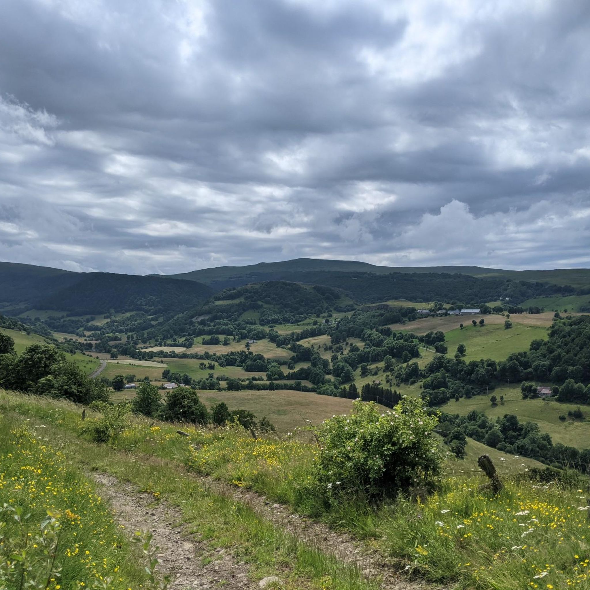
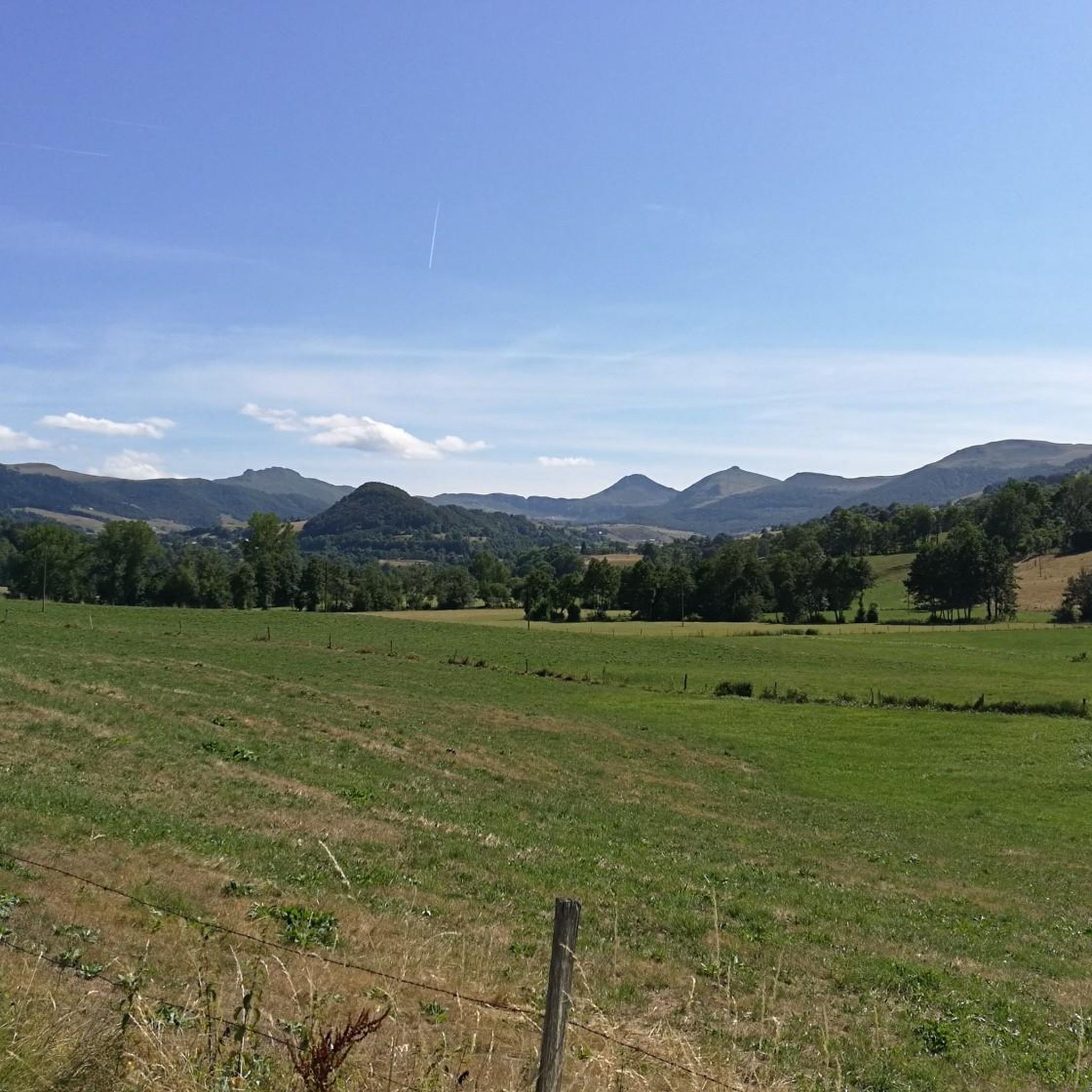
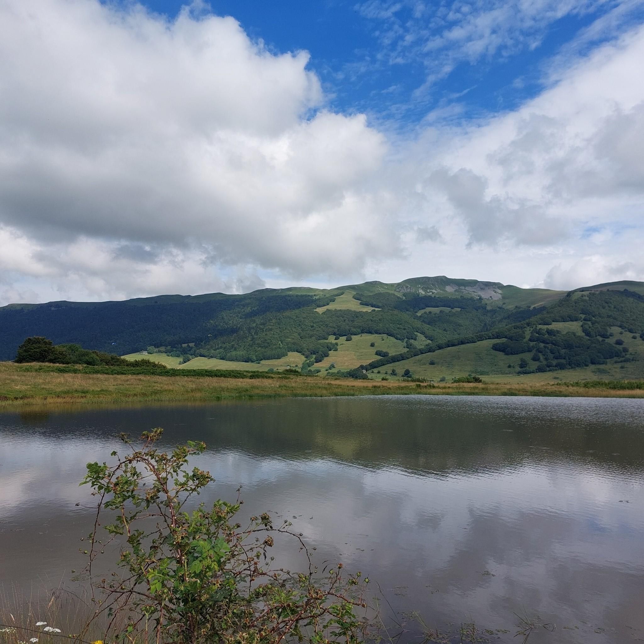
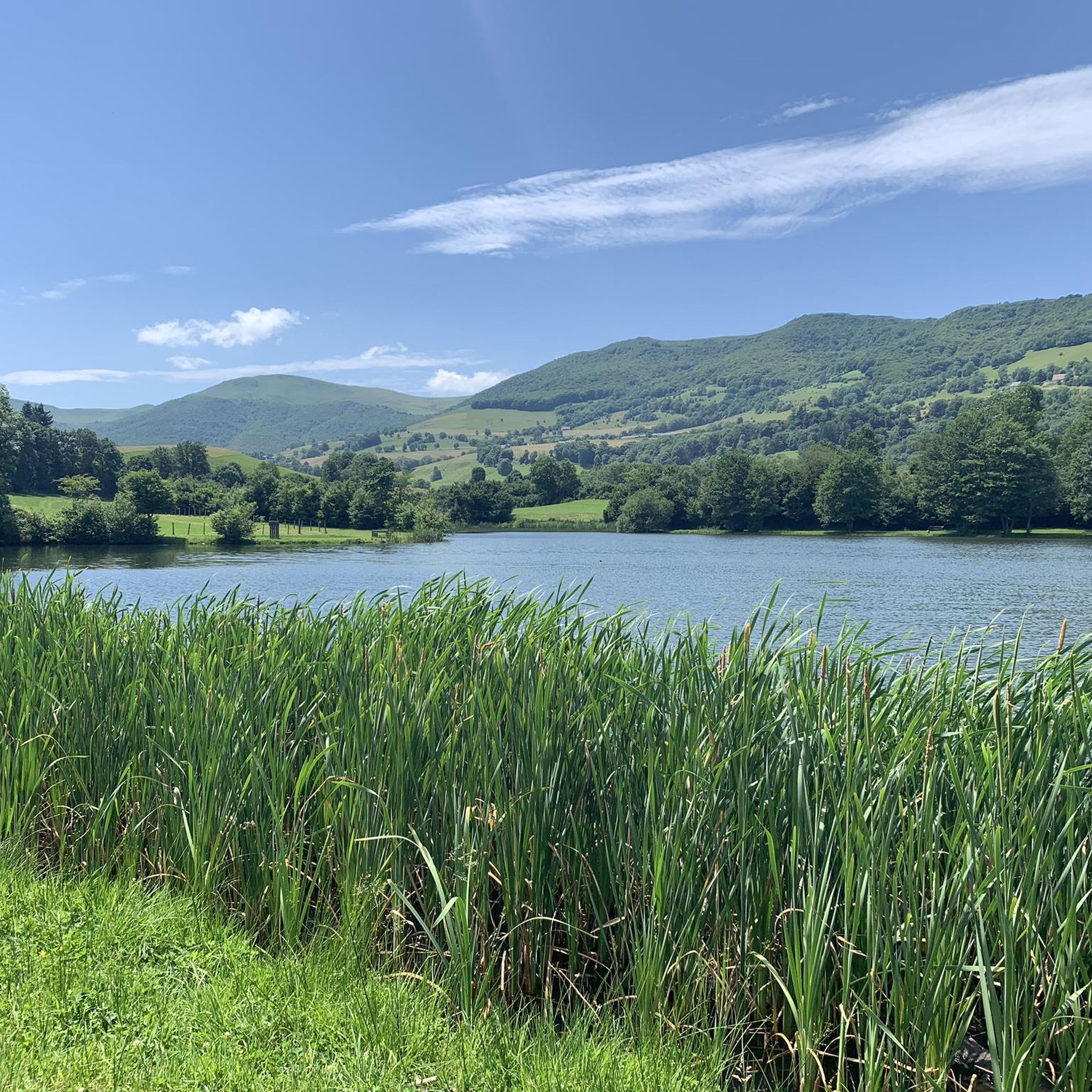
Road cycling around Collandres is characterized by its location within the Cantal department, part of the Auvergne-Rhône-Alpes region of France. The area is defined by ancient volcanic massifs, offering varied topography from high plateaus to steep ascents up volcanic peaks and mountain passes. Cyclists encounter a landscape shaped by volcanic formations, including "Puys" (volcanic cones) and glacial valleys, providing diverse terrain for road cycling routes.
Best road cycling routes around Collandres
- The most popular road cycling route is Salers –…
Last updated: October 30, 2026
5.0
(2)
56
riders
49.4km
02:51
1,100m
1,100m
Hard road ride. Very good fitness required. Some segments of this route may be unpaved and difficult to ride.
4.7
(3)
28
riders
56.0km
03:19
1,400m
1,400m
Hard road ride. Very good fitness required. Some segments of this route may be unpaved and difficult to ride.

4.0
(2)
13
riders
27.0km
01:25
460m
460m
Moderate road ride. Good fitness required. Mostly well-paved surfaces and easy to ride.
5.0
(1)
11
riders
22.9km
01:13
370m
370m
Moderate road ride. Good fitness required. Mostly well-paved surfaces and easy to ride.
5.0
(1)
11
riders
50.8km
02:38
900m
900m
Hard road ride. Very good fitness required. Mostly well-paved surfaces and easy to ride.
Get access to more routes and recommendations from other explorers.
Already have an account?
Our route recommendations are based on thousands of hikes, rides, and runs completed by other people on komoot.
Start today with a free account
Your next adventure awaits.

Tips from the Community

Small, quiet road from Saint-Bonnet-de-Condat to Riom-ès-Montagnes via Marchastel
0
0

A beautiful, partly shady climb from Claux to the pass. Then the real challenge begins at Puy Mary.
0
0
Small municipal campsite, pitches are somewhat uneven, but grassy. Decent restroom facilities. There are also a few snacks and drinks available at the reception.
3
0
Small village before the climb to Puy Mary. A bit deserted on Whit Monday.
3
0


The route takes you through incredibly beautiful scenery as you head up the valley.
1
0

This pass is rather easy if we compare it with what awaits us, the Puy Mary
1
0

Did it last week with the cycling friends. Splendor of a Col. 🤩
0
0
Frequently Asked Questions
How many road cycling routes are available around Collandres?
There are over 65 road cycling routes available around Collandres, catering to various skill levels. You'll find a mix of easy, moderate, and difficult options to explore the region's unique volcanic landscapes.
What makes road cycling in Collandres unique?
Road cycling in Collandres is unique due to its location within the ancient volcanic massifs of the Cantal department. You'll experience varied topography, from high plateaus to steep ascents up volcanic peaks and mountain passes, all within the stunning Regional Natural Park of the Auvergne Volcanoes.
What do other cyclists say about the road cycling routes in Collandres?
The road cycling routes around Collandres are highly rated by the komoot community, with an average score of 4.8 stars from over 20 reviews. Cyclists often praise the challenging climbs, panoramic views, and the quiet roads that allow for an immersive experience in the Cantalien landscape.
Are there road cycling routes suitable for beginners in Collandres?
While many routes in Collandres feature challenging climbs, there are a few easier options available. The region offers a diverse network, so you can find routes that suit a more relaxed pace, especially across some of the high plateaus.
Where can I find challenging road cycling routes around Collandres?
Collandres is known for its challenging terrain. Routes like the Pas de Peyrol Pass (1,589 m) – Neronne Pass loop from Source captée offer significant elevation gains and demanding climbs, including sections of the famous Pas de Peyrol. Another challenging option is the Salers – Neronne Pass loop from Le Vaulmier.
What kind of landscapes can I expect on road cycling routes near Collandres?
You can expect a dramatic and varied landscape. Routes traverse ancient volcanic massifs, offering views of 'Puys' (volcanic cones), mountain passes, and high plateaus. You'll also cycle through verdant glacial valleys and pastoral scenery, characteristic of the Auvergne region.
Are there any notable landmarks or natural features to see along the road cycling routes?
Yes, many routes offer views of significant natural features. You might pass by or see landmarks such as the Puy Mary Summit, the Pas de Peyrol Pass (1,589 m), and the Roland's Breach. These are often integrated into the challenging climbs and offer breathtaking panoramic views.
What is the best time of year for road cycling in Collandres?
The best time for road cycling in Collandres is generally from late spring to early autumn (May to October). During these months, the weather is more favorable, and mountain passes are typically clear of snow, allowing access to the full range of routes and stunning views.
Are there any circular road cycling routes available?
Yes, many of the road cycling routes around Collandres are designed as loops, allowing you to start and finish in the same location. Examples include the Serre Pass – Pas de Peyrol Pass (1,589 m) loop from Apchon and the Lac des Cascades – Cheylade loop from Cascade du Sartre.
Is parking available for cyclists near the routes in Collandres?
Parking is generally available in and around the villages that serve as starting points for many routes. Given the region's focus on outdoor activities, you can often find designated parking areas, especially near popular trailheads or village centers.
Are there cafes or places to stop for refreshments along the road cycling routes?
Yes, many routes pass through or near small villages where you can find local cafes, bakeries, or small shops to refuel. It's always a good idea to check your route in advance and plan your stops, especially on longer rides in more remote areas of the Cantal.
Can I find family-friendly road cycling routes in Collandres?
While Collandres is known for its challenging terrain, some easier sections or flatter valley roads might be suitable for families. For truly family-friendly options, look for routes with minimal elevation gain or consider shorter, well-maintained paths in less mountainous areas of the region.
Most popular routes around Collandres
Most popular attractions around Collandres

Get inspired with the komoot mobile app


Explore more
Browse the best Road cycling routes in other regions.
