The best walks and hikes around Saint-Jean-D'Aubrigoux
4.5
(81)
413
hikers
76
hikes
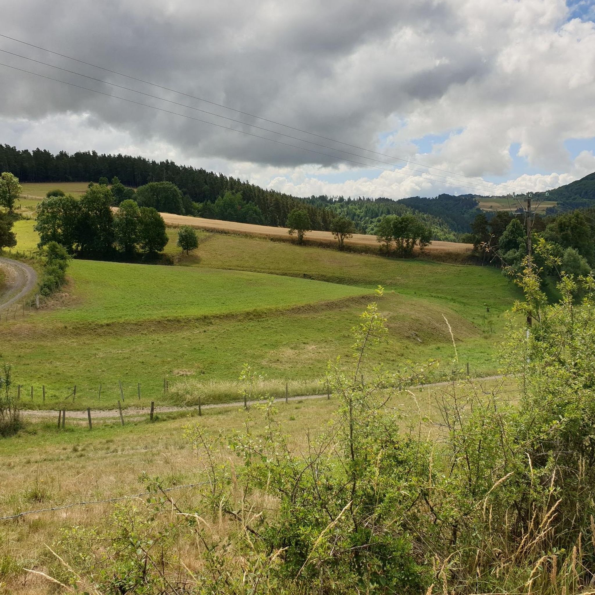
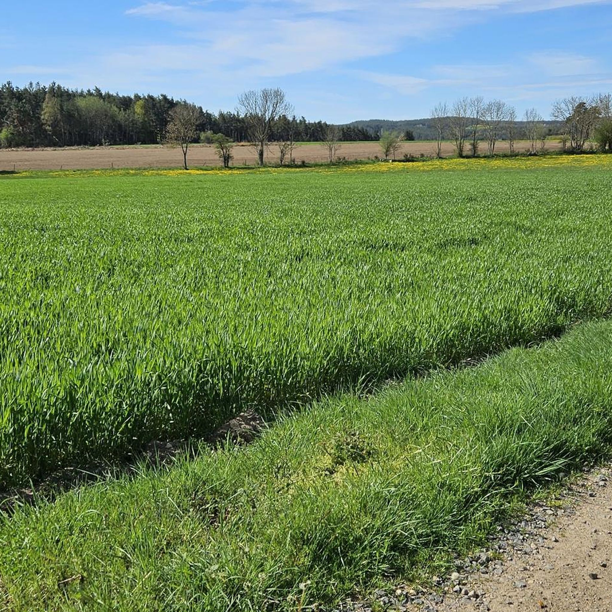
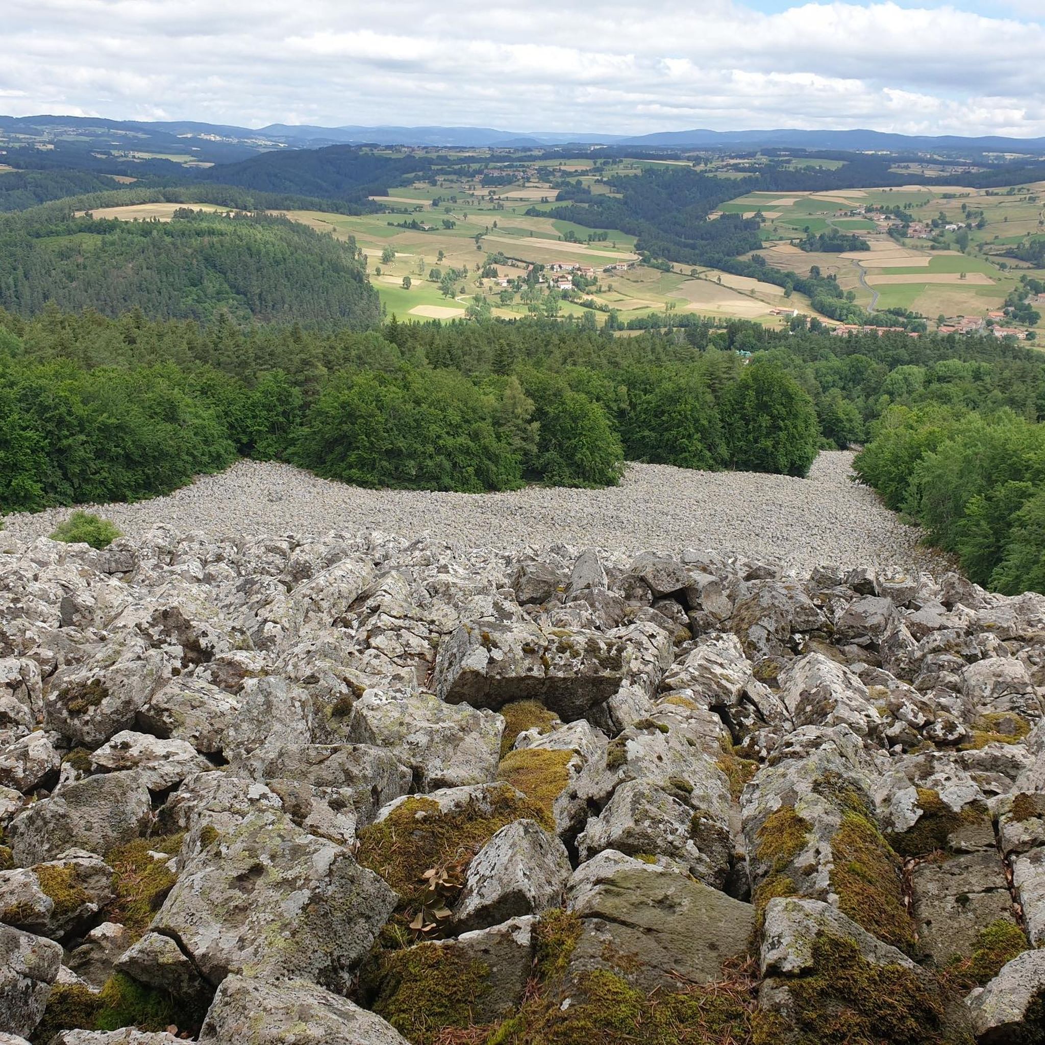
Hiking around Saint-Jean-D'Aubrigoux offers diverse landscapes within the Haute-Loire department of France. The region is characterized by a blend of plateaus, expansive prairies, dense forests, and winding rivers, situated at an elevation of 948 meters. Volcanic terrain, including the Suc de Bèze at 1190 meters, shapes unique formations and provides varied topography. The area is also part of the Livradois Forez Regional Natural Park, known for its preserved natural beauty.
Best hiking trails around Saint-Jean-D'Aubrigoux
- The most popular hiking route…
Last updated: May 18, 2026
5.0
(3)
19
hikers
10.5km
03:01
250m
250m
Moderate hike. Good fitness required. Easily-accessible paths. Suitable for all skill levels.
5.0
(1)
12
hikers
11.5km
03:18
270m
270m
Moderate hike. Good fitness required. Easily-accessible paths. Suitable for all skill levels.

Sign up for free
5.0
(1)
9
hikers
14.4km
04:01
270m
270m
Moderate hike. Good fitness required. Easily-accessible paths. Suitable for all skill levels.
8
hikers
10.1km
02:49
200m
200m
Moderate hike. Good fitness required. Mostly accessible paths. Sure-footedness required.
4.0
(1)
3
hikers
19.0km
05:27
450m
450m
Hard hike. Very good fitness required. Easily-accessible paths. Suitable for all skill levels.
Get access to more routes and recommendations from other explorers.
Sign up for free
Already have an account?
Our route recommendations are based on thousands of hikes, rides, and runs completed by other people on komoot.
Start today with a free account
Your next adventure awaits.
Login or Signup


Tips from the Community

This is the body of water of La Chaise-Dieu
0
0

This pretty little town of barely 100 inhabitants is located on the watershed line of the Arzon basin. The town has a stopover lodge and an inn to accommodate travellers. Don't miss a stop to see its church and chapel.
0
0


In these beautiful old wash houses you are always well protected from the sun and rain when you take a break.
4
0

This old wash house is in the middle of the small village. I'm always fascinated by how laundry used to be washed without technology.
6
0
Frequently Asked Questions
How many hiking trails are available in Saint-Jean-D'Aubrigoux?
There are over 80 hiking routes around Saint-Jean-D'Aubrigoux. These include 25 easy, 49 moderate, and 6 difficult options, catering to various experience levels.
What kind of terrain can I expect on hikes around Saint-Jean-D'Aubrigoux?
The terrain is diverse, characterized by a blend of plateaus, expansive prairies, dense forests, and winding rivers. The region is also known for its volcanic features, including the Suc de Bèze, which offers varied topography and unique formations.
Are there hiking options suitable for families or beginners?
Yes, Saint-Jean-D'Aubrigoux offers 25 easy routes, making it suitable for families and beginners. These trails typically feature gentler inclines and shorter distances, allowing for a pleasant outdoor experience.
What do other hikers say about the trails in Saint-Jean-D'Aubrigoux?
The trails in Saint-Jean-D'Aubrigoux are highly rated by the komoot community, with an average score of 4.5 stars from over 80 reviews. Hikers often praise the varied landscapes, well-marked paths, and the preserved natural beauty of the Livradois Forez Regional Natural Park.
Are there any circular hiking routes in the area?
Yes, many routes in the area are circular. For example, the Medeyrolles loop from Medeyrolles is a moderate 9.2 km circular hike, and the La senouire loop from La Chaise-Dieu is another popular circular option.
Can I bring my dog on the hiking trails?
While specific regulations can vary by trail, generally, dogs are welcome on many hiking trails in the region, especially if kept on a leash. It's always recommended to check local signage or park rules for any specific restrictions before heading out.
Are there any waterfalls or significant natural features to see?
The region is rich in natural features. You can explore volcanic sites, including the basaltic organs of Montpeloux, which are accompanied by the Cascades du Creux de l'Oulette. The Suc de Bèze, the highest point in the commune, also offers panoramic views.
What historical or cultural sites can I explore while hiking?
The area boasts a rich history. You can find prehistoric vestiges like the 'pierre des fades' dolmen and various menhirs. The Romanesque church in Saint-Jean-D'Aubrigoux, dating back to the 12th century, is also notable. Nearby, the acclaimed La Chaise-Dieu Abbey Church is a significant religious heritage site.
Are there good viewpoints on the hikes around Saint-Jean-D'Aubrigoux?
Yes, the region offers several excellent viewpoints. The Suc de Bèze, for instance, provides panoramic vistas of the surrounding countryside. Many trails also traverse plateaus and open prairies, offering expansive views of the Haute-Loire landscape.
Where can I park when starting a hike in Saint-Jean-D'Aubrigoux?
Parking is generally available near trailheads in and around Saint-Jean-D'Aubrigoux. Specific parking areas are often indicated at the start of marked trails or in nearby villages. For example, routes starting from Malvières or Craponne-sur-Arzon typically have designated parking spots.
What is the best time of year to go hiking in Saint-Jean-D'Aubrigoux?
The best time for hiking is typically from spring to autumn (April to October), when the weather is mild and the landscapes are vibrant. Summer offers warmer temperatures, while spring and autumn provide pleasant conditions with fewer crowds and beautiful seasonal colors.
Are there any longer or more challenging hikes for experienced trekkers?
Yes, for experienced trekkers, there are 6 difficult routes available. An example is the Château de Saint-Germain loop from Arlanc, which is a challenging 19 km trail with significant elevation gain, often taking over 5 hours to complete.
Are there places to eat or stay near the hiking trails?
Saint-Jean-D'Aubrigoux and its surrounding villages offer options for dining and accommodation. You can find local restaurants, cafes, and gîtes (guesthouses) that cater to visitors, providing a comfortable base for your hiking adventures.
Most popular routes around Saint-Jean-D'Aubrigoux
Most popular attractions around Saint-Jean-D'Aubrigoux

Get inspired with the komoot mobile app


Explore more
Browse the best Hikes in other regions.
