The best running trails around Oberneisen
4.5
(866)
7,139
runners
499
runs
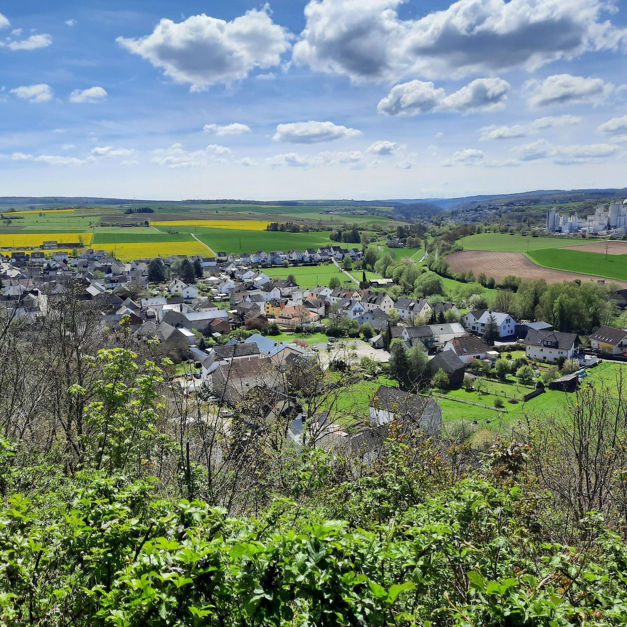
Jogging routes around Oberneisen are characterized by a diverse landscape, situated on the edge of the Taunus Mountains in the Rhein-Lahn district. The region features hilly topography, abundant forests, and scenic river valleys, providing varied terrain for runners. Located in the Aartal valley, Oberneisen offers both challenging routes with inclines through shaded paths and flatter runs alongside water.
Best jogging routes around Oberneisen
- The most popular jogging route is Roman Spring Zollhaus – Antonius-Sprudel loop from Hahnstätten, a 7.4…
Last updated: October 3, 2026
5.0
(8)
61
runners
11.8km
01:13
50m
50m
Moderate run. Good fitness required. Mostly paved surfaces. Suitable for all skill levels.
5.0
(1)
25
runners
7.35km
00:46
40m
40m
Moderate run. Good fitness required. Mostly paved surfaces. Suitable for all skill levels.

4.0
(2)
29
runners
Moderate run. Good fitness required. Mostly paved surfaces. Suitable for all skill levels.
5.0
(1)
46
runners
Moderate run. Good fitness required. Mostly paved surfaces. Suitable for all skill levels.
5.0
(2)
13
runners
5.57km
00:39
90m
90m
Moderate run. Good fitness required. Mostly paved surfaces. Suitable for all skill levels.
Get access to more routes and recommendations from other explorers.
Already have an account?
Our route recommendations are based on thousands of hikes, rides, and runs completed by other people on komoot.
Start today with a free account
Your next adventure awaits.
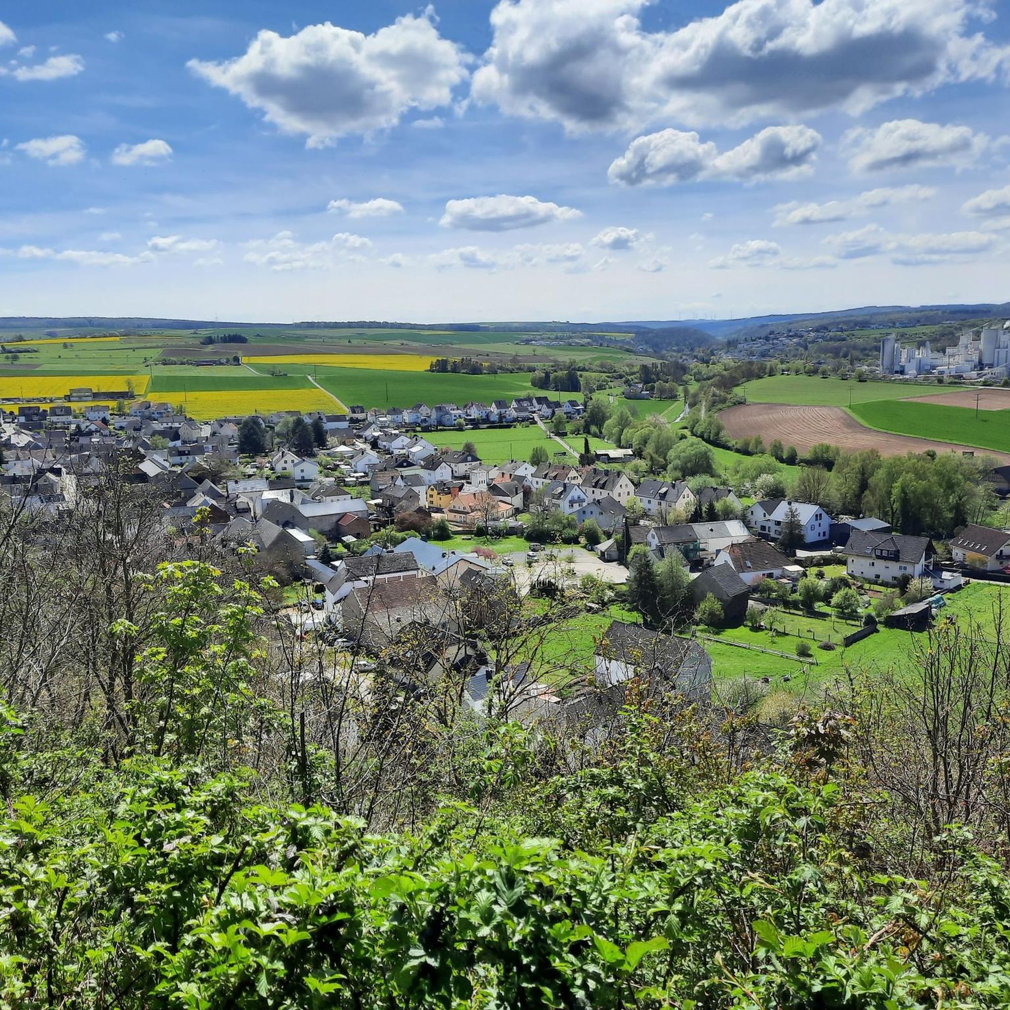
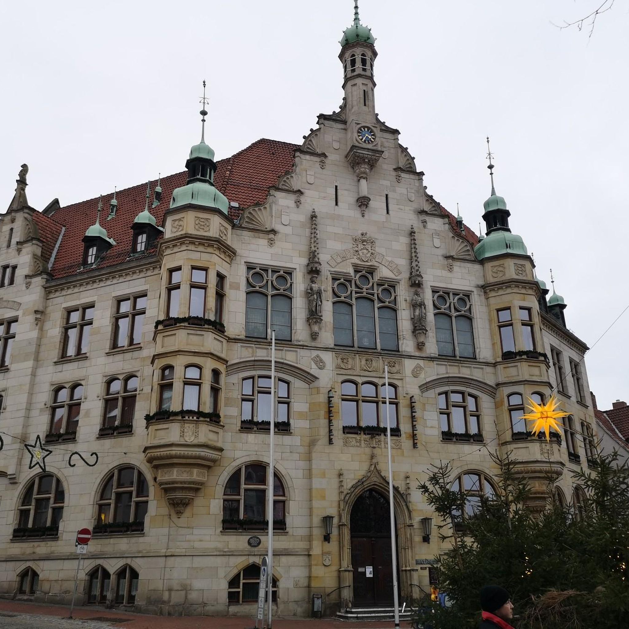
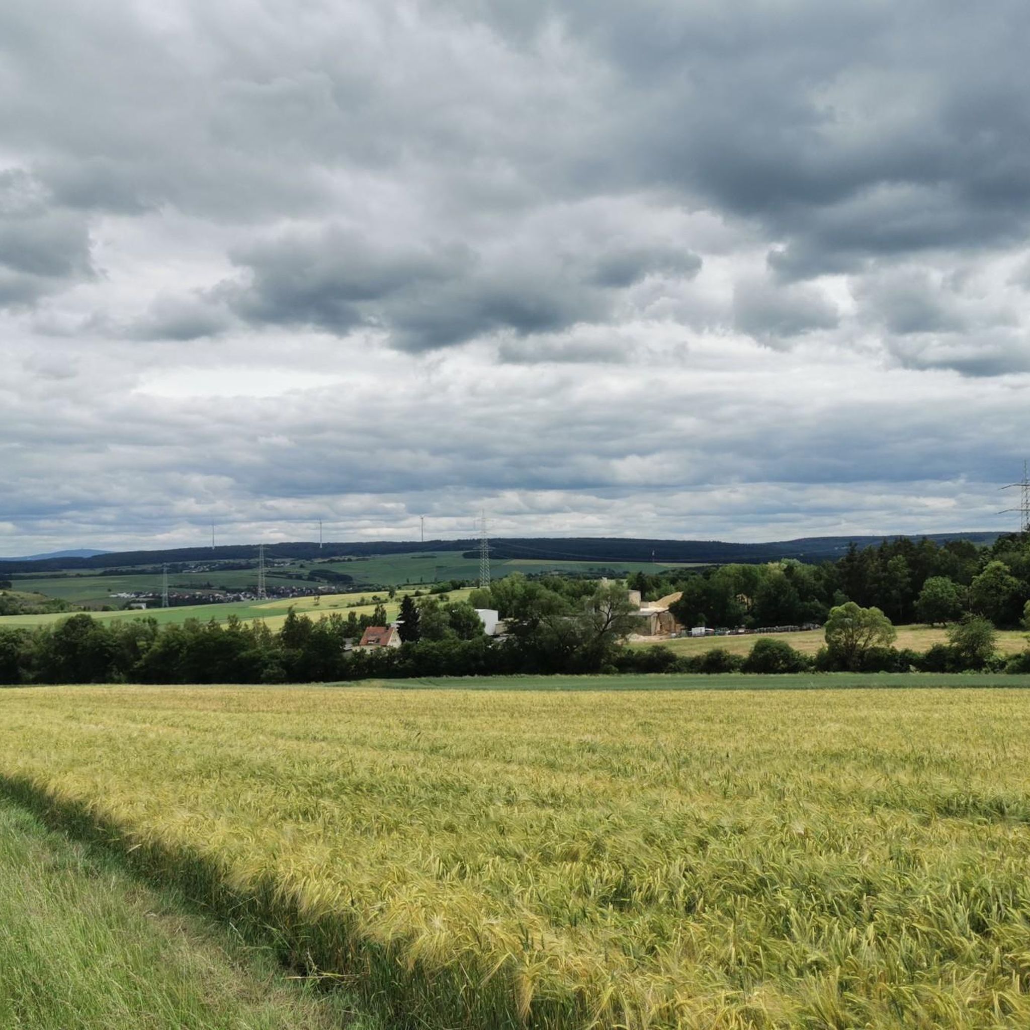
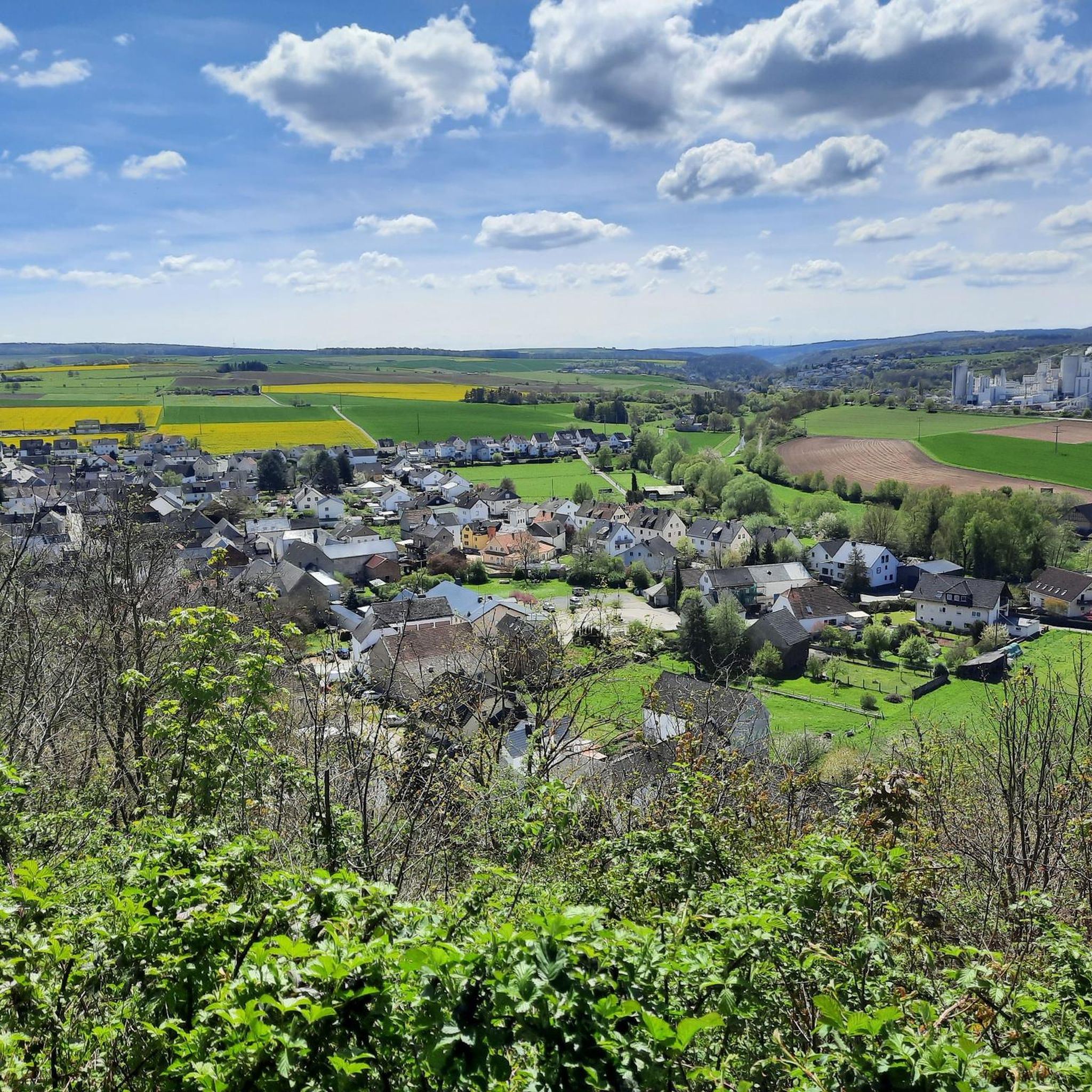
Tips from the Community

At first I thought they were running free until I saw the fence
0
0
Not my taste but still great
0
0
It's not to my taste, but it's great nonetheless
0
0
Still in dense fog on the way home
0
0

It's always nice to look at old things again and again.
0
0

The old station was once a lively place, full of sounds: steaming locomotives and waiting travelers. Freight cars were shunted, signals clicked, and the waiting room smelled of coal and fresh newspapers. This was where journeys to distant lands began or where workdays ended in the commuter traffic that shaped the life of the region. Today, the station has become silent; the tracks have disappeared or have become cycle paths. The station building bears traces of time, perhaps a café, a residential building, or simply a silent memory. But if you look closely, you can still recognize the rhythm of past decades—the course of the tracks in the grass, the ramp at the goods shed, the sign with faded lettering. The old station speaks without words of new beginnings and change, of technology and humanity, of the time when the train still meant heartbeat and connection here.
0
0
🚰 Continuous water fountain near Zollhaus – cool refreshment along the trail A real insider tip on the Aartal Cycle Path: The acidic water fountain near Zollhaus provides fresh, clear water even on hot days – directly from the tap, always available. Ideal for cyclists and hikers who want to refill their water bottles or simply take a short break. 💧 Tip: Have a cup or bottle handy – the water runs continuously, without the need to press a button. A quiet helper along the trail – and worth its weight in gold, not just in the summer heat.
1
2

A taste journey to the Romans 👍
0
0
Frequently Asked Questions
What kind of terrain can I expect on running trails around Oberneisen?
Oberneisen, situated on the edge of the Taunus Mountains, offers a diverse landscape for runners. You'll find a mix of hilly topography and abundant forests, providing shaded paths and challenging inclines. The region is also characterized by the scenic Aartal valley, which offers opportunities for flatter, more relaxed runs alongside charming river courses.
Are there running routes suitable for beginners in Oberneisen?
Yes, Oberneisen offers a variety of running paths, including 52 routes classified as easy. These often follow the more gentle terrain of the Aartal valley, such as sections of the Aartal Cycle Path, providing a great starting point for new runners or those looking for a relaxed jog.
Are there challenging running trails for experienced runners in Oberneisen?
Absolutely. For experienced runners seeking a challenge, Oberneisen features 80 difficult routes. The hilly terrain and extensive forests provide plenty of elevation gain. The long-distance Water Lily Pond – Rotes Meer Pond loop from Netzbach, for example, covers nearly 18 km with significant elevation changes, offering a demanding workout.
What natural attractions can I see while running in Oberneisen?
While jogging, you can explore the picturesque Aartal valley with its river courses. The region is also known for its forests and unique geological features. For example, you might encounter interesting rock formations like the Wild Women’s Cave rock formation, or even pass by the Old Women's Cave, offering glimpses into the area's natural beauty.
Are there historical landmarks along the running trails in Oberneisen?
Yes, several routes offer views of historical sites. For instance, the Ardeck Castle Ruins – View of Ardeck Castle loop from Oberneisen provides scenic vistas of the historic Ardeck Castle ruins. The majestic Nassau Castle Ruins, perched on a hill, also offer a rewarding sight and can be incorporated into more challenging runs.
Are the running routes in Oberneisen generally circular?
Many of the running routes around Oberneisen are designed as loops, making them convenient for starting and ending at the same point. Examples include the popular Roman Spring Zollhaus – Antonius-Sprudel loop from Hahnstätten and the Running loop from Lohrheim.
What do other runners enjoy most about jogging in Oberneisen?
The running routes in Oberneisen are highly rated by the komoot community, with an average score of 4.5 stars from over 600 reviews. Runners frequently praise the diverse terrain, from the peaceful Aartal valley paths to the challenging forest trails, and the scenic beauty of the region.
Can I bring my dog on the running trails in Oberneisen?
While specific regulations can vary, many natural trails in the Oberneisen region are generally dog-friendly. It's always recommended to keep your dog on a leash, especially in forested areas or near wildlife, and to be mindful of other trail users. Always check local signage for any specific restrictions.
Are there any long-distance running paths near Oberneisen?
For those looking for longer runs, the region offers extensive options. The Aartal Cycle Path, for example, spans 55.5 km and provides a relatively flat, scenic route through the valley. The Aar-Höhenweg is another long-distance trail, extending 64.9 km, offering more challenging terrain and expansive views for experienced runners.
How many running routes are available in the Oberneisen area?
There are over 460 running routes available in the Oberneisen area, catering to various fitness levels and preferences. This includes 52 easy routes, 336 moderate routes, and 80 difficult routes, ensuring a wide selection for every runner.
Are there running routes that offer scenic viewpoints in Oberneisen?
Yes, the hilly topography of Oberneisen provides numerous opportunities for scenic viewpoints. Trails that ascend into the forests or towards higher elevations, such as those near the Nassau Castle Ruins or along sections of the Aar-Höhenweg, often reward runners with expansive views of the Aartal valley and the surrounding countryside.
Most popular routes around Oberneisen
Most popular attractions around Oberneisen

Get inspired with the komoot mobile app


Explore more
Browse the best Running Trails & Routes in other regions.
