The best walks and hikes around Culmont
4.2
(283)
1,323
hikers
78
hikes
Hiking around Culmont offers diverse experiences centered around its prominent water features. The region is characterized by the expansive Lac de la Liez and the source of the Marne river, providing a landscape of lakeshores, gentle river valleys, and surrounding woodlands. Elevation changes are generally modest, making many areas accessible for various activity levels. The terrain primarily consists of well-maintained paths suitable for walking and hiking.
Best hiking trails around Culmont
- The most popular hiking route is Lac de la…
Last updated: October 10, 2026
4.5
(37)
179
hikers
15.4km
03:58
80m
80m
Moderate hike. Good fitness required. Easily-accessible paths. Suitable for all skill levels.
3.0
(1)
6
hikers
24.9km
06:49
350m
470m
Hard hike. Very good fitness required. Easily-accessible paths. Suitable for all skill levels.

4.1
(10)
25
hikers
14.6km
03:58
210m
210m
Moderate hike. Good fitness required. Easily-accessible paths. Suitable for all skill levels.
3.8
(8)
33
hikers
5.91km
01:34
60m
60m
Easy hike. Great for any fitness level. Easily-accessible paths. Suitable for all skill levels.
4.5
(12)
47
hikers
7.40km
01:53
20m
20m
Easy hike. Great for any fitness level. Easily-accessible paths. Suitable for all skill levels.
Get access to more routes and recommendations from other explorers.
Already have an account?
Our route recommendations are based on thousands of hikes, rides, and runs completed by other people on komoot.
Start today with a free account
Your next adventure awaits.


Tips from the Community

This castle from 1659 belongs to the French castle heritage.
2
0

Nice hike with parking and picnic area nearby. The path leading to the spring is a bit steep and can be slippery if it rains. The Sabinus cave is worth the detour, watch out for children when going there.
0
0

A beautiful local recreation area for hiking, swimming, and other recreational activities. The path around the lake is more suitable for hiking than cycling. We still managed it, though.
1
0

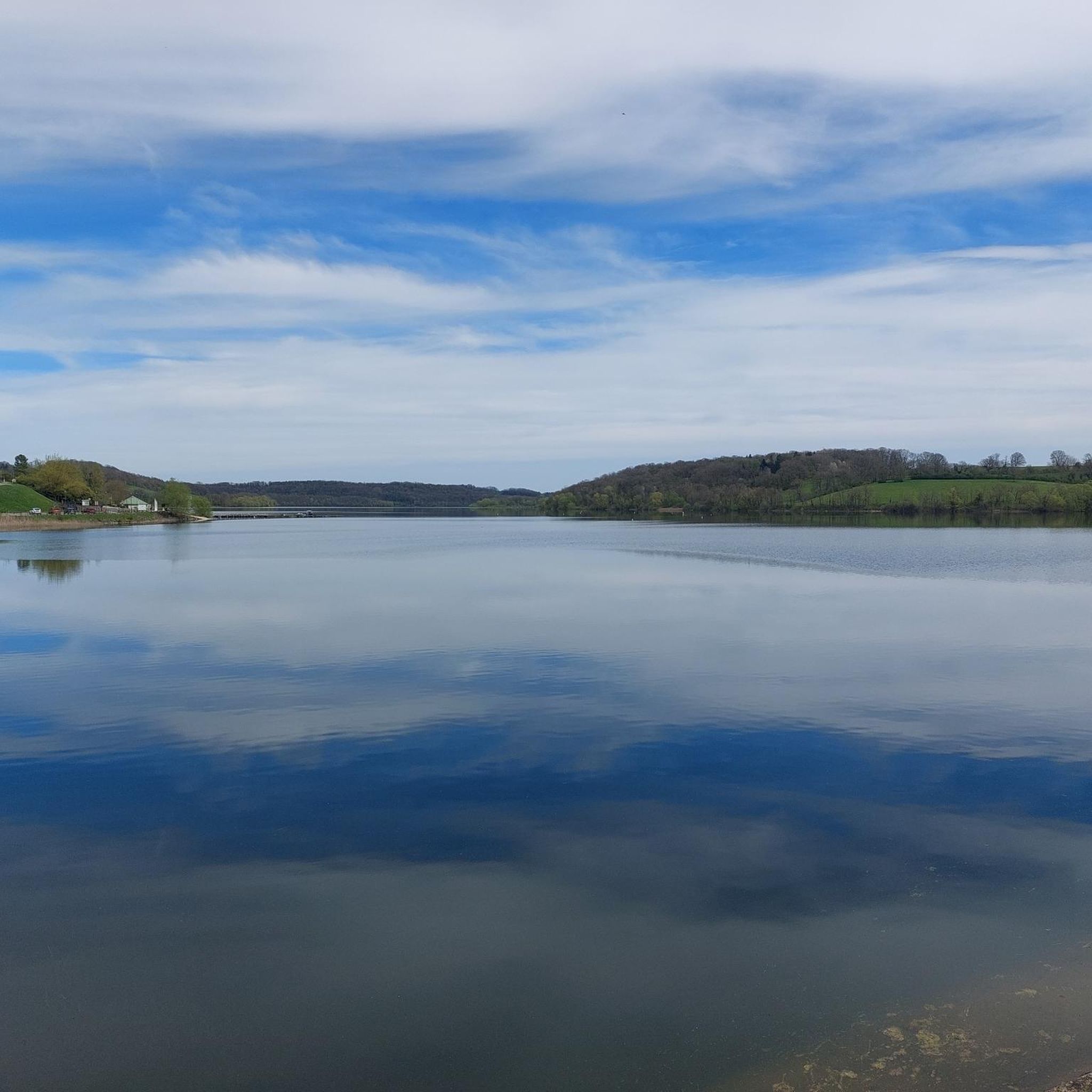
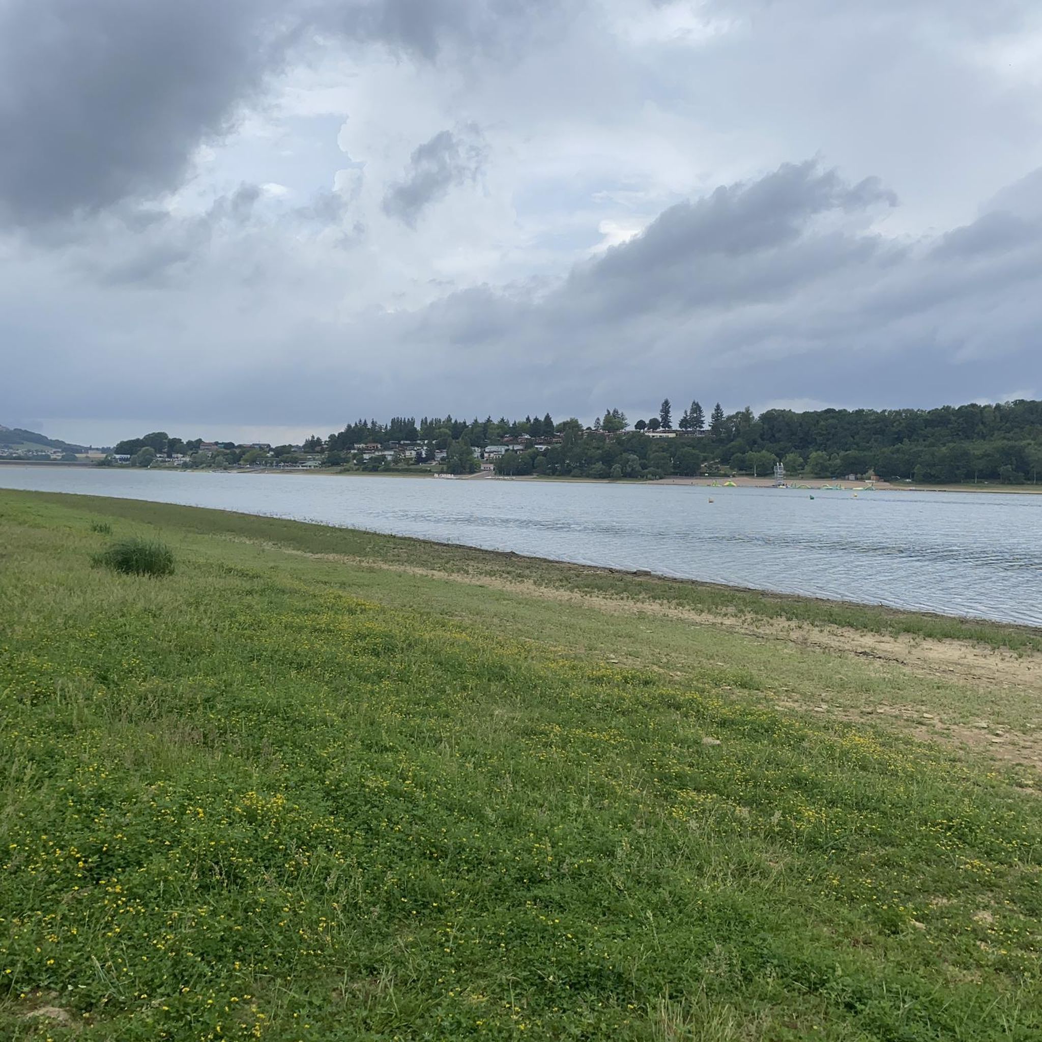
A very beautiful circular route around Lac de la Liez, whether on foot or by bike.
0
0

From this road you have a wonderful view of Langres, which rises on the hill opposite.
1
0

This vast expanse of water of 290 ha allows the practice of many activities. If you have a sporty soul, a 16 km route even allows you to go around it on foot or by mountain bike.
2
0

The Marne (Latin Matrona) is a river in France. It rises on the plateau of Langres, in the municipality of Balesmes-sur-Marne, at an altitude of about 420 meters. It initially drains to the northwest, later turns to the west and southwest and flows into the Seine as a right tributary after about 514 kilometers between Charenton-le-Pont and Ivry-sur-Seine, just southeast of Paris. Several French departments are named after the Marne, namely Haute-Marne, Marne, Seine-et-Marne and Val-de-Marne.
3
0

Originally, Lake Liez was called “Lecey dyke”. This is linked to the digging of the Marne-Saône canal. The Liez dam is 490 meters long and 16 meters high. It is the largest of the four feeding lakes of the upper reach of the canal between Champagne and Burgundy.
2
0
Frequently Asked Questions
How many hiking trails are available around Culmont?
Culmont offers a wide selection of hiking opportunities, with over 80 routes available on komoot. These range from easy strolls to more challenging treks, ensuring options for various skill levels.
Are there easy hiking trails suitable for beginners in Culmont?
Yes, Culmont has over 30 easy hiking trails. An excellent option for beginners is the Liez Lake Beach – Liez Lake Dam loop from Peigney, which is 3.7 miles (5.9 km) long and takes about 1 hour 34 minutes to complete.
What are the best circular walks in the Culmont area?
The region is known for its scenic loop trails. Popular choices include the Lac de la Liez — loop, offering continuous lake views, and the Source de la Marne — loop from Balesmes-sur-Marne, which explores the river's natural origin.
Are there any family-friendly hiking routes in Culmont?
Many of Culmont's trails are suitable for families, particularly those around Lac de la Liez due to their modest elevation changes and well-maintained paths. The Liez Lake Dam – Lake Liez loop from Peigney is an easy 4.5-mile (7.3 km) route that families often enjoy.
Can I bring my dog on the hiking trails in Culmont?
Most trails in Culmont are dog-friendly, especially those through woodlands and along the lake shores. It's always recommended to keep dogs on a leash, especially near wildlife or other hikers, and to check local signage for any specific restrictions.
What kind of scenery can I expect on hikes around Culmont?
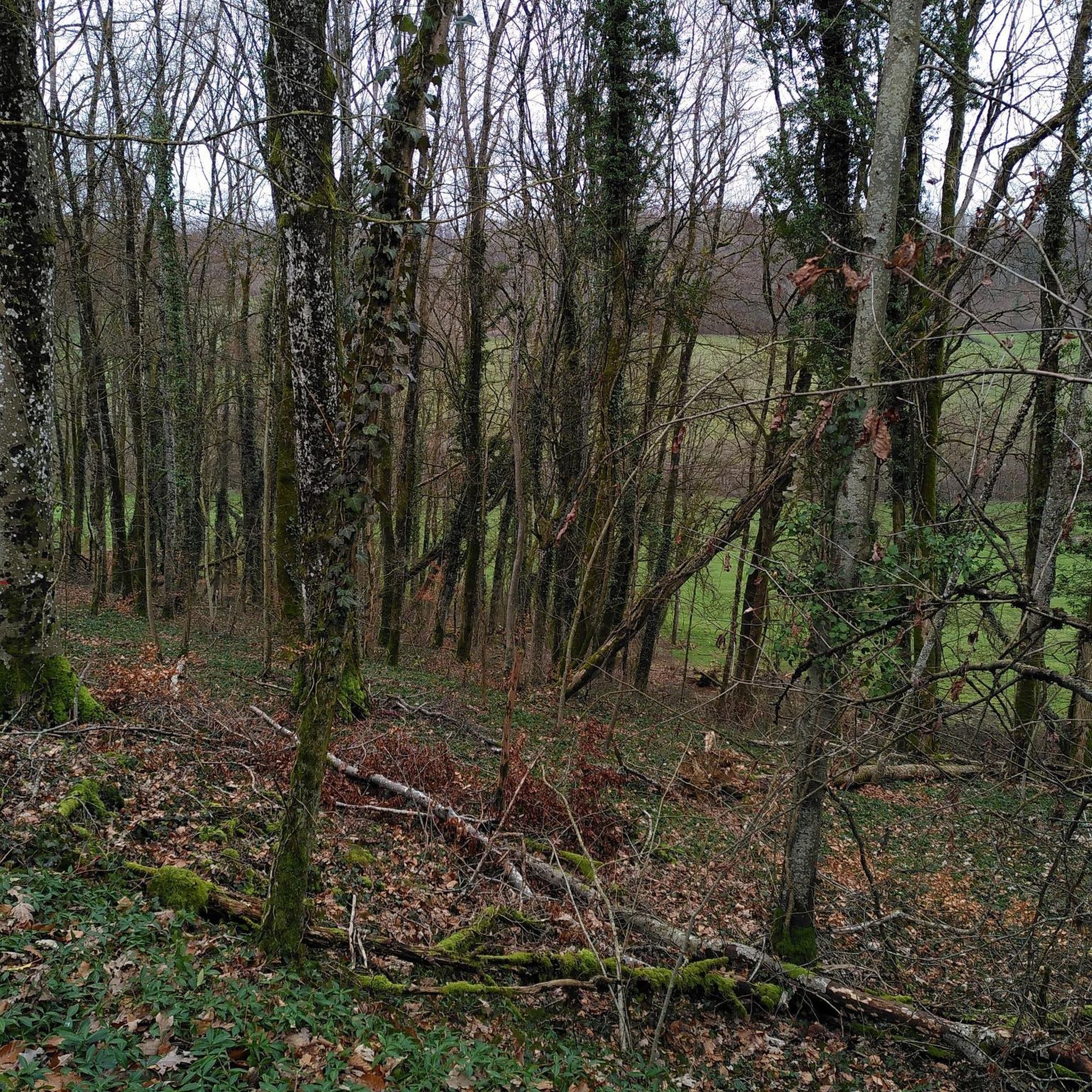
Hiking in Culmont primarily features landscapes shaped by water. You'll find continuous views of Lac de la Liez, gentle river valleys along the Marne, and peaceful surrounding woodlands. The terrain is generally accessible with modest elevation changes.
What do other hikers enjoy most about hiking in Culmont?
The area is highly rated by the komoot community, with an average score of 4.4 stars from over 200 reviews. Reviewers often praise the beautiful lake views, the tranquility of the river source trails, and the well-maintained paths that make for enjoyable walks.
Are there any challenging hikes in Culmont for experienced hikers?
While many trails are easy to moderate, there are options for more experienced hikers. The Place Jeanne Mance – Liez Lake Dam loop from Chatenay-Mâcheron is a difficult 17.4-mile (28 km) route with significant elevation changes, offering a longer and more strenuous experience.
What are some interesting places to see near the hiking trails in Culmont?
Beyond the natural beauty, you can explore historical and cultural sites. Notable attractions include the impressive Saint-Mammès Cathedral of Langres, the historic Porte des Terreaux, and the unique Langres Rack Railway.
Is there parking available at the trailheads in Culmont?
Yes, parking is generally available near popular trailheads, especially around Lac de la Liez and in villages like Peigney and Balesmes-sur-Marne, which serve as starting points for many routes. It's advisable to check specific route details for precise parking information.
What is the best time of year to go hiking in Culmont?
The spring and autumn months are ideal for hiking in Culmont, offering pleasant temperatures and vibrant natural scenery. Summer is also popular, especially around Lac de la Liez, though it can be warmer. Winter hikes are possible, but some paths might be less accessible depending on conditions.
Most popular attractions around Culmont

Get inspired with the komoot mobile app


Explore more
Browse the best Hikes in other regions.
