The best road cycling routes around Poinson-Lès-Grancey
4.8
(9)
140
riders
34
rides
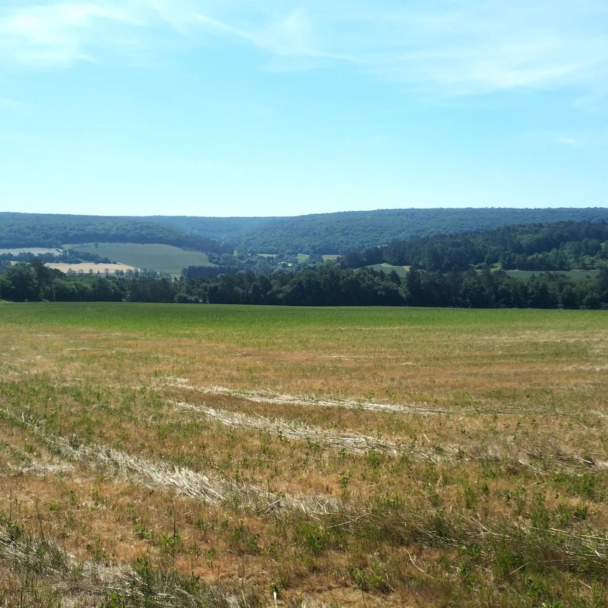
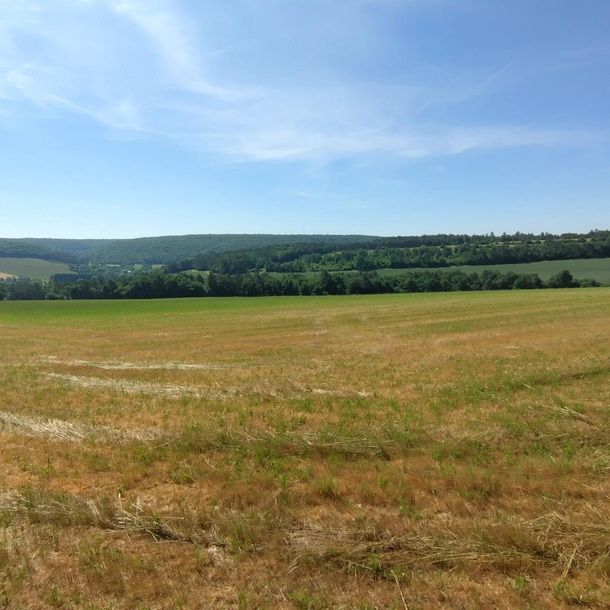
Road cycling routes around Poinson-Lès-Grancey traverse a landscape of rolling plains and gentle valleys within France's Haute-Marne department. The terrain features an elevation range of 369 to 489 meters, offering varied gradients suitable for road cyclists. The region is characterized by extensive forests, meandering rivers like the Ource, and proximity to the Plateau de Langres, known for its diverse road cycling terrain.
Best road cycling routes around Poinson-Lès-Grancey
- The most popular road cycling route is Vivey rest/games area – Auberive…
Last updated: May 20, 2026
8
riders
Moderate road ride. Good fitness required. Mostly well-paved surfaces and easy to ride.
9
riders
Moderate road ride. Good fitness required. Mostly well-paved surfaces and easy to ride.

Sign up for free
5.0
(1)
6
riders
32.6km
01:33
430m
430m
Moderate road ride. Good fitness required. Mostly well-paved surfaces and easy to ride.
5
riders
34.3km
01:44
390m
390m
Moderate road ride. Good fitness required. Some segments of this route may be unpaved and difficult to ride.
5
riders
125km
05:46
1,340m
1,340m
Hard road ride. Very good fitness required. Mostly well-paved surfaces and easy to ride.
Get access to more routes and recommendations from other explorers.
Sign up for free
Already have an account?
Our route recommendations are based on thousands of hikes, rides, and runs completed by other people on komoot.
Start today with a free account
Your next adventure awaits.
Login or Signup

Tips from the Community


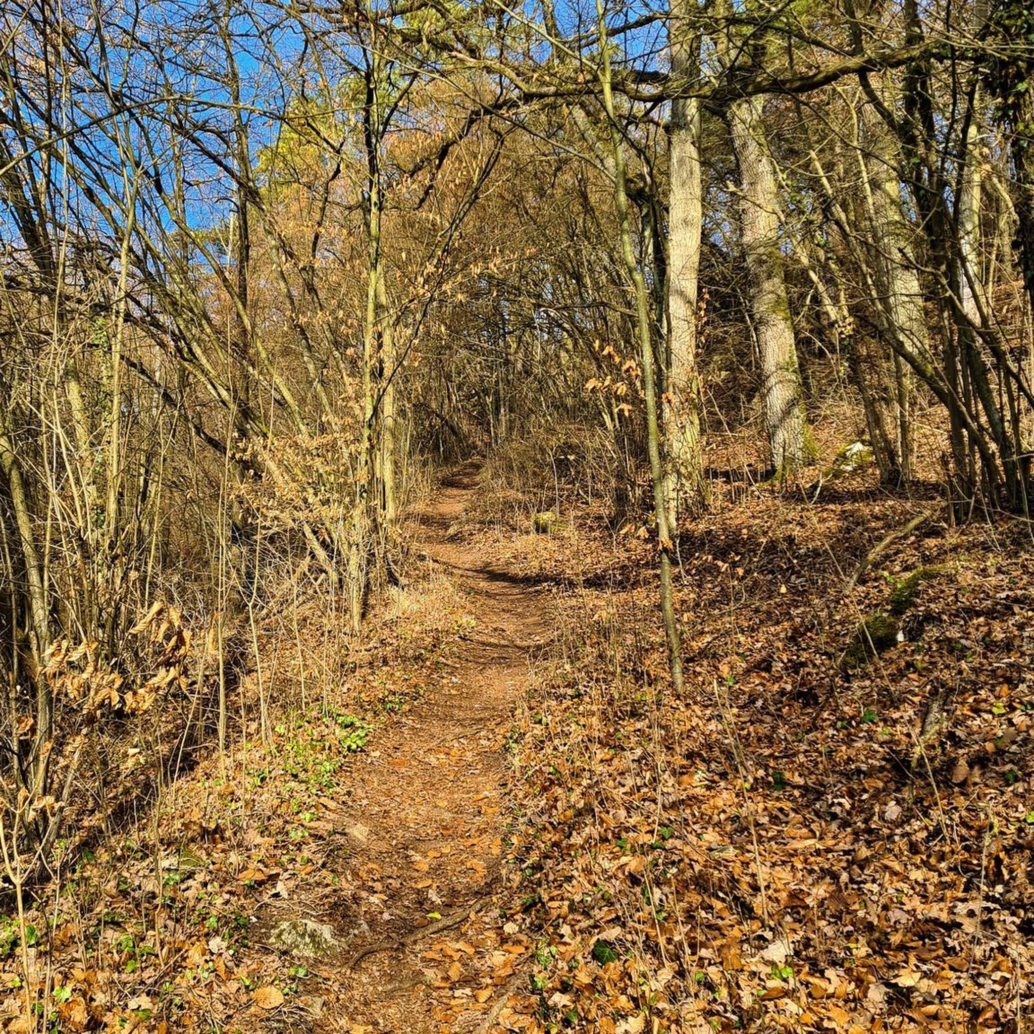
A very beautiful little path between a small moat and the stream. Everything looks very idyllic, like something out of a fairytale.
0
0

The history of this very interesting church dates back to the 6th century. The parish website provides many interesting details about the building: https://www.saint-michel-dijon.com/
3
0

Pay attention to the city center of Dijon. In rainy weather, the Burgundy stone on the ground is very slippery
0
0

Village with a very beautiful abbey which houses an art collection.
1
0


Very bucolic road leading to the sources of Aube and Praslay.
0
0
Frequently Asked Questions
How many road cycling routes are available around Poinson-Lès-Grancey?
There are over 35 road cycling routes around Poinson-Lès-Grancey. These routes cater to various skill levels, with 2 easy, 31 moderate, and 2 difficult options available for exploration.
What is the typical terrain like for road cycling in Poinson-Lès-Grancey?
The terrain around Poinson-Lès-Grancey is characterized by rolling plains and gentle valleys, with elevations ranging from 369 to 489 meters. You'll find a mix of flat sections, particularly along river valleys like the Ource, and more dynamic routes through hills, including the 'hidden gradients' of the nearby Plateau de Langres. The region also features extensive forested areas, offering picturesque and shaded routes.
What are the difficulty levels of road cycling routes in this area?
Road cycling routes around Poinson-Lès-Grancey offer a range of difficulty levels. You can find 2 easy routes for a relaxed ride, 31 moderate routes that provide a good balance of challenge and enjoyment, and 2 more difficult routes for experienced cyclists seeking a greater test of endurance and climbing ability.
When is the best time of year to go road cycling around Poinson-Lès-Grancey?
The region's climate generally makes spring through early autumn ideal for road cycling. During these seasons, you can expect pleasant temperatures and lush landscapes. The varied terrain, including forested areas, can offer some shade during warmer months, while the rolling hills provide engaging rides in cooler weather.
Are there any circular road cycling routes available?
Yes, many of the road cycling routes around Poinson-Lès-Grancey are designed as loops, allowing you to start and finish at the same point. For example, the Vivey rest/games area – Auberive Abbey loop from Grancey-le-Château-Neuvelle is a popular circular route covering 56.2 km with an elevation gain of 589 meters.
What natural features can I expect to see while cycling?
While cycling around Poinson-Lès-Grancey, you'll encounter diverse natural features. The Ource River flows through the commune, offering tranquil routes along its valley. The broader Haute-Marne department is known for its extensive forests and is often called 'France's water tower' due to its numerous rivers and lakes. You might also cycle near sections of the Canal entre Champagne et Bourgogne (V53 Véloroute), providing peaceful rides along towpaths.
Are there any historical sites or landmarks along the road cycling routes?
Yes, several routes pass by or are near historical sites. For instance, the Vivey rest/games area – Auberive Abbey loop from Grancey-le-Château-Neuvelle passes by Auberive Abbey. Other notable attractions in the vicinity include Grancey-le-Château Castle and the Church of Our Lady of the Assumption in Auberive. The historic fortified city of Langres, with its impressive Roman ramparts, is also within cycling distance.
Is Poinson-Lès-Grancey suitable for family-friendly road cycling?
While many routes involve moderate climbs, there are easier options available. For families, consider routes with less elevation gain or those that follow river valleys or canal paths, which tend to be flatter and more sheltered. Always check the route details for distance and elevation to ensure it matches your family's fitness level.
Where can I find parking for my bike and car near the routes?
Specific parking information for individual routes is often detailed within the route descriptions on komoot. Generally, you can find parking in the villages where routes begin, such as Grancey-le-Château-Neuvelle or Poinsenot. Look for designated public parking areas or inquire locally for the most convenient spots for cyclists.
What do other road cyclists say about the routes in Poinson-Lès-Grancey?
The road cycling routes around Poinson-Lès-Grancey are highly rated by the komoot community, with an average score of 4.9 stars from over 10 reviews. Cyclists often praise the varied terrain, scenic views, and the quiet roads that wind through forests and gentle valleys, making for a rewarding experience.
How challenging are the climbs in the Poinson-Lès-Grancey area?
The climbs around Poinson-Lès-Grancey vary in challenge. While the overall elevation range is moderate (369 to 489 meters), the region is known for its 'hidden gradients,' particularly near the Plateau de Langres. Some routes feature significant elevation gains, such as the Auberive Abbey – Lavoir de Vivey loop from Colmier-le-Bas with over 600 meters of ascent, offering rewarding challenges for road cyclists.
Are there places to eat or drink near the cycling routes?
Many of the villages and towns along or near the cycling routes, such as Grancey-le-Château-Neuvelle or Auberive, offer local cafes, restaurants, or small shops where you can refuel. It's always a good idea to check opening hours in advance, especially in smaller communes, and carry some snacks and water with you.
Most popular attractions around Poinson-Lès-Grancey

Get inspired with the komoot mobile app


Explore more
Browse the best Road cycling routes in other regions.
