The best running trails around Braunshorn
4.3
(169)
1,870
runners
192
runs
Jogging routes around Braunshorn are set within the picturesque Hunsrück region, characterized by rolling hills and dense woodlands. This area offers a diverse network of trails, providing varied terrain for runners. The natural landscape features serene forest paths and undulating topography, ideal for both gentle runs and more challenging inclines.
Best jogging routes around Braunshorn
- The most popular jogging route is Water Lily Pond – Bench with a view of Soonwald loop from Laubach, a 10.8 miles (17.3 km)…
Last updated: October 6, 2026
4.3
(3)
122
runners
17.3km
02:02
160m
160m
Hard run. Very good fitness required. Mostly accessible paths. Some sure footedness required.
5.0
(4)
53
runners
Hard run. Good fitness required. Sure-footedness, sturdy shoes and alpine experience required.

5.0
(3)
25
runners
7.67km
00:54
110m
110m
Moderate run. Good fitness required. Mostly accessible paths. Some sure footedness required.
5.0
(1)
7
runners
13.7km
01:32
110m
110m
Moderate run. Good fitness required. Mostly paved surfaces. Suitable for all skill levels.
9
runners
Hard run. Very good fitness required. Mostly paved surfaces. Suitable for all skill levels.
Get access to more routes and recommendations from other explorers.
Already have an account?
Our route recommendations are based on thousands of hikes, rides, and runs completed by other people on komoot.
Start today with a free account
Your next adventure awaits.
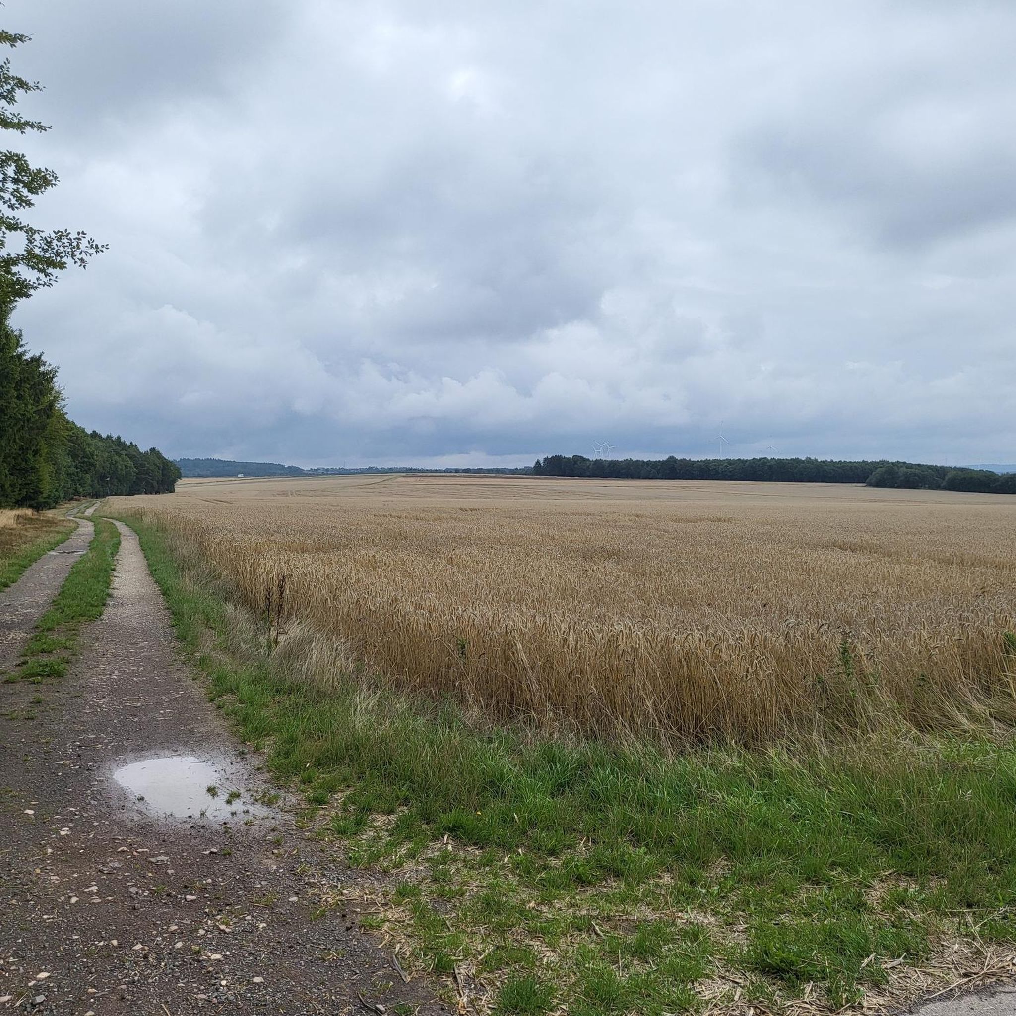
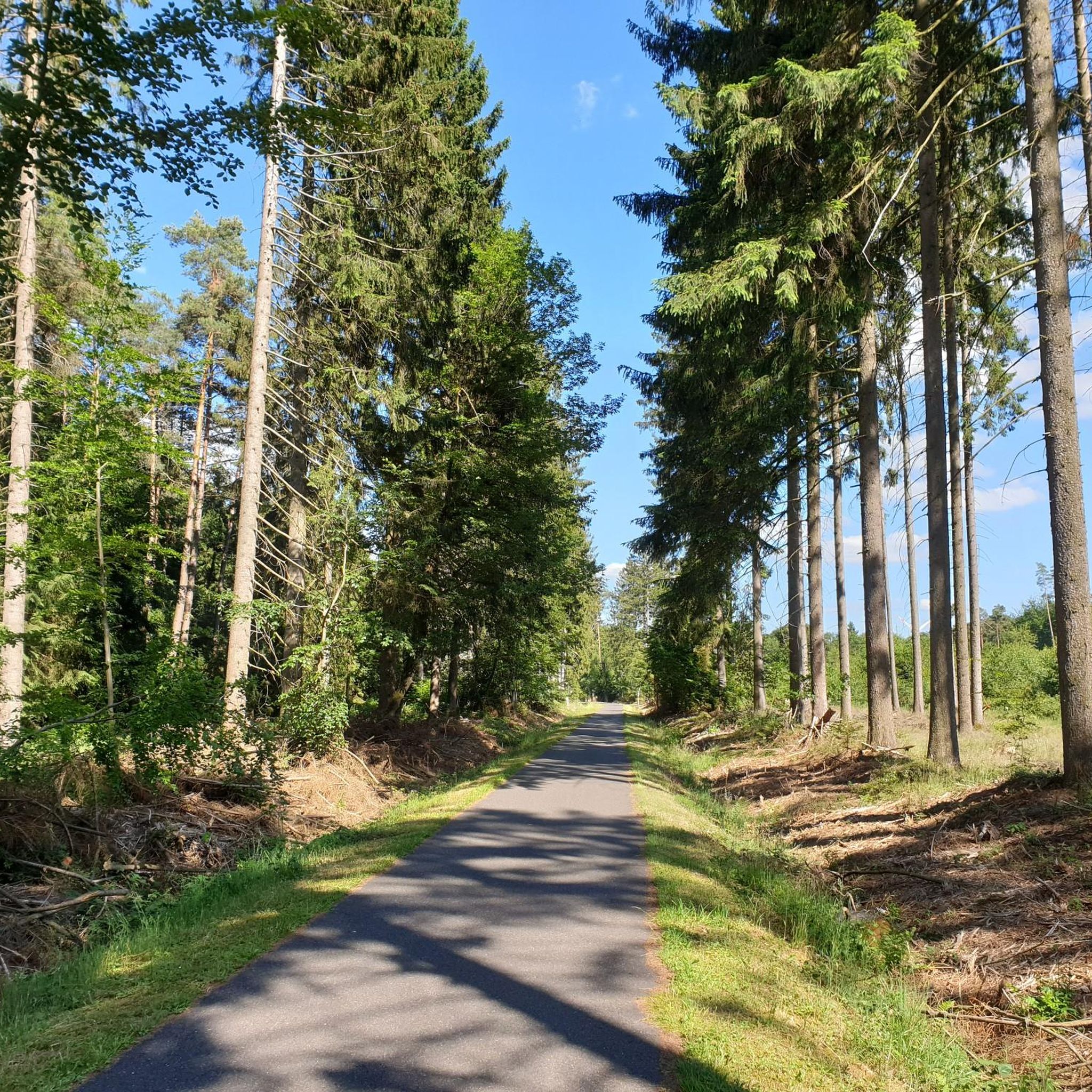
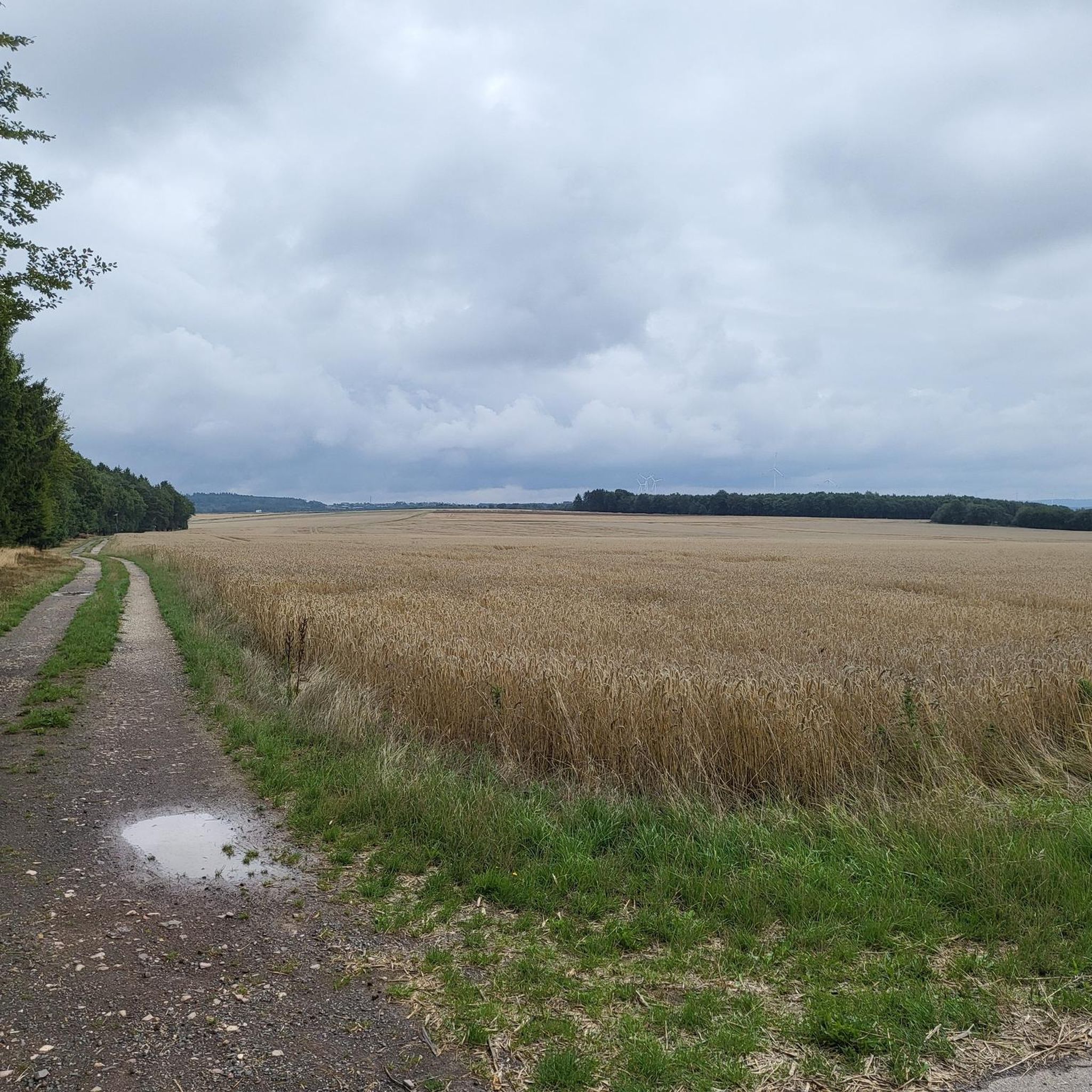
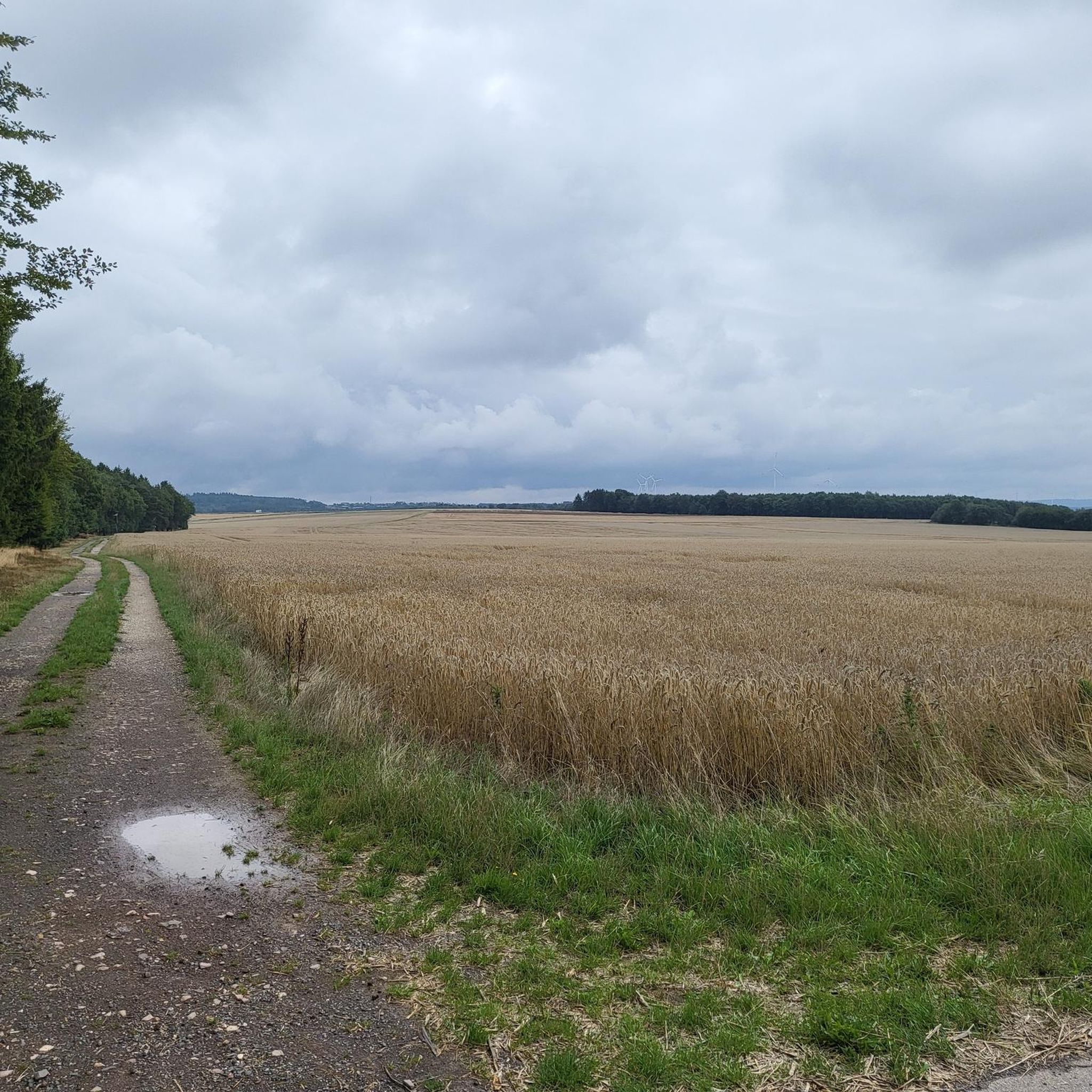
Tips from the Community

Very nice forest, great route
0
0
Super view into the Rhine Valley
0
0

In the middle of the forest, by a small pond, stands the former forest workers' shelter. The shelter at Klingelfloß was built based on a model of a hut in the Carpathians.
1
0

As of 05/2026: After almost 20 years, the fallen giant trees, which a few years ago still had to be climbed over and down, have almost completely decomposed, so that the bridges and walkways as well as plank paths have now been removed and only muddy sections over tree stumps have to be mastered.
2
0
A good opportunity to take a break
0
0
A good opportunity to take a break.
0
0
Cool bike path near Kastellaun
0
0

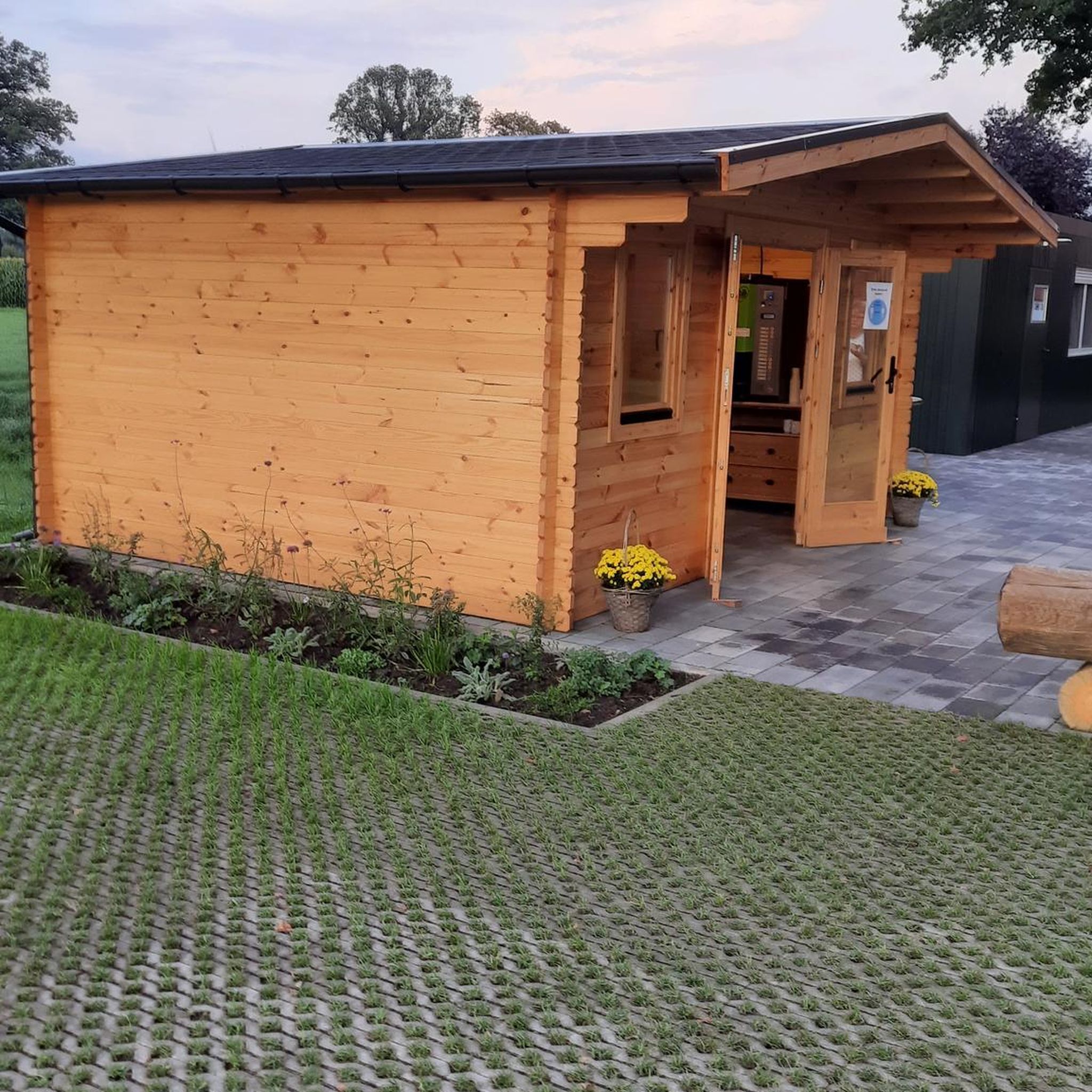
Nice little rest stop for food and drinks on a bike tour along the Schinderhannes cycle path
1
0
Frequently Asked Questions
How many running routes are available around Braunshorn?
Braunshorn offers a wide selection of over 200 running routes, catering to various preferences and fitness levels. These trails wind through the picturesque Hunsrück region, providing diverse terrain for runners.
What kind of terrain can I expect on the jogging trails in Braunshorn?
The running trails around Braunshorn are characterized by rolling hills and dense woodlands, typical of the Hunsrück region. You'll find a mix of serene forest paths and undulating topography, offering both gentle stretches and more challenging inclines. The extensive network includes paths suitable for various abilities.
Are there any easy running routes for beginners in Braunshorn?
Yes, Braunshorn has options for beginners. Out of over 200 routes, 25 are classified as easy, providing a good starting point for those new to running or looking for a less strenuous experience. These paths typically feature gentler gradients and well-maintained surfaces.
Can I find circular running routes in the Braunshorn area?
Many of the running routes around Braunshorn are designed as loops, allowing you to start and finish in the same location. An example is the Pfalzfeld Railway Station – Pfalzfeld station loop from Lingerhahn, a moderate 7.7 km trail that takes you through the Hunsrück hills.
What are some notable natural features or landmarks I might see while running near Braunshorn?
While running around Braunshorn, you'll be immersed in the natural beauty of the Hunsrück forests and hills. For specific points of interest, you might encounter highlights like the Path Along the Wohnrother Bach or the Forest nature trail with serpentine descent. The region also features historical sites such as the 12th-century Romanesque church of St. Martinus in the village center, and the 13th-century Liebeneck Castle, which could be scenic destinations on longer runs.
Are there any running routes with good viewpoints in Braunshorn?
The Hunsrück region around Braunshorn is known for its rolling hills, which naturally offer scenic vistas. While specific viewpoints aren't always named on every route, trails like the Water Lily Pond – Bench with a view of Soonwald loop from Laubach are specifically highlighted for their scenic views, allowing you to enjoy the expansive Hunsrück landscape during your run.
Is the area suitable for family-friendly running or jogging with children?
Yes, the diverse trail network around Braunshorn includes routes suitable for families. While some trails are more challenging, the presence of easy and moderate paths means you can find options that are less strenuous and more enjoyable for younger runners or those with varying fitness levels. Look for shorter, flatter loops for a pleasant family outing.
Are dogs allowed on the running trails in Braunshorn?
Generally, dogs are welcome on trails in the Hunsrück region, provided they are kept on a leash and owners adhere to local regulations regarding waste disposal. It's always a good idea to check specific signage at trailheads, but the natural environment of Braunshorn is typically dog-friendly for responsible pet owners.
What do other runners say about the trails in Braunshorn?
The running routes in Braunshorn are highly regarded by the komoot community, boasting an average rating of 4.4 stars from over 170 reviews. More than 1900 runners have explored the varied terrain, often praising the serene forest paths, diverse landscapes, and the overall refreshing experience of running in the Hunsrück.
Are there options for parking near the running routes in Braunshorn?
While specific parking details for every trailhead are not provided, the region's extensive trail network often means that parking is available in or near villages like Braunshorn, Laubach, or Lingerhahn, which serve as common starting points for many routes. For example, the Pfalzfeld Railway Station – Pfalzfeld station loop from Lingerhahn suggests parking near the station.
What is the best time of year to go running in Braunshorn?
The Hunsrück region offers beautiful running conditions throughout much of the year. Spring and autumn are particularly pleasant, with mild temperatures and vibrant natural colors. Summer provides lush green scenery, though it can be warmer. Winter running is also possible, but trails might be affected by snow or ice, so checking local conditions is advisable.
Are there any challenging running routes for experienced runners?
Absolutely. For experienced runners seeking a challenge, Braunshorn offers 31 routes classified as difficult. These trails often feature more significant elevation changes and longer distances. An example is the Birkenhof Hotel & Restaurant – Former Klingelfloß shelter loop from Laubach, a demanding 10.5 km path exploring varied forest terrain.
Most popular routes around Braunshorn
Most popular attractions around Braunshorn

Get inspired with the komoot mobile app


Explore more
Browse the best Running Trails & Routes in other regions.
