The best road cycling routes around Vitry-Lès-Nogent
4.1
(26)
812
riders
103
rides
Road cycling routes around Vitry-Lès-Nogent, located in France's Haute-Marne department, traverse a landscape characterized by rolling hills, river valleys, and extensive forests. The region offers access to diverse terrain, including routes along canals and around artificial lakes, providing varied gradients for cyclists. This area is part of the wider Champagne region, featuring picturesque countryside and rural heritage. Cyclists can expect a mix of flat sections along waterways and more undulating paths through wooded areas.
Best road cycling routes around Vitry-Lès-Nogent
…Last updated: October 8, 2026
5.0
(1)
32
riders
51.5km
02:04
250m
250m
Moderate road ride. Good fitness required. Some segments of this route may be unpaved and difficult to ride.
5.0
(1)
40
riders
39.5km
01:48
340m
340m
Moderate road ride. Good fitness required. Some segments of this route may be unpaved and difficult to ride.

4.3
(3)
34
riders
62.8km
02:49
580m
580m
Moderate road ride. Good fitness required. Mostly well-paved surfaces and easy to ride.
8
riders
59.6km
02:39
510m
510m
Moderate road ride. Good fitness required. Some segments of this route may be unpaved and difficult to ride.
4.5
(2)
9
riders
46.3km
02:14
430m
430m
Moderate road ride. Good fitness required. Some segments of this route may be unpaved and difficult to ride.
Get access to more routes and recommendations from other explorers.
Already have an account?
Our route recommendations are based on thousands of hikes, rides, and runs completed by other people on komoot.
Start today with a free account
Your next adventure awaits.


Tips from the Community

superb cycle path, no water point, nor toilets.. lack of useful signage for cyclists, food, restaurant camping... sometimes to reach a campsite, horrible slopes between the path and the place (I think of the Chaumont campsite for example), when cycle tourism is thought up by motorists, it's hell.
0
0

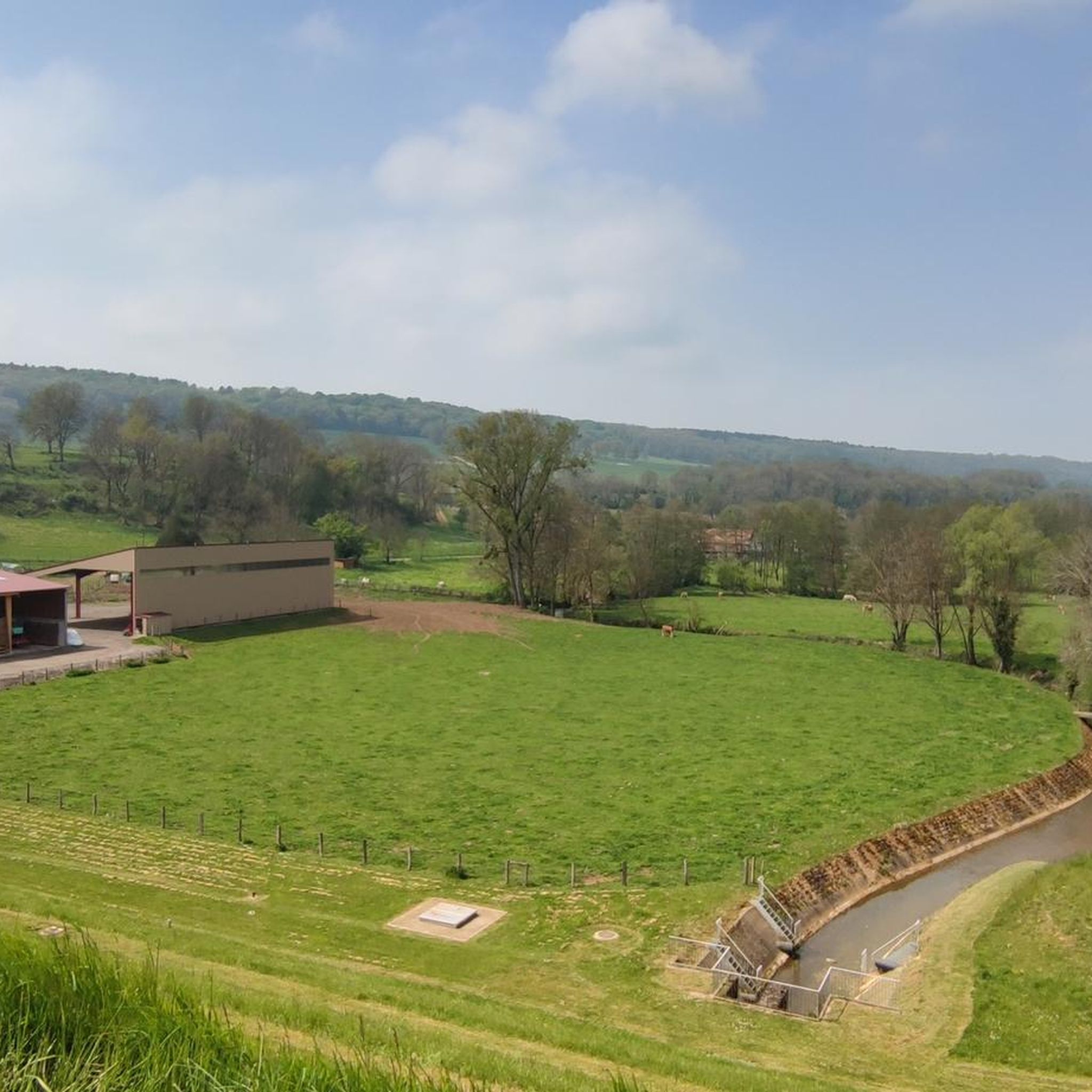
Fort Peigney is one of eight detached forts built to protect the town of Langres in northeastern France. It was integrated into the defense system developed by General Séré de Rivières at the end of the 19th century, to protect the country from a German invasion.
2
0
The fortresses of this era had a simpler, polygonal shape than the large star fortresses developed by the military engineer Vauban in the 17th century. Due to improvements in artillery, cities had become too vulnerable to long-range cannon attacks. The solution was to build a series of small fortresses in a ring around the city to be defended.
3
0

The path along the canal is nicely developed and paved. Ideal for cycling.
0
0


From this road you have a wonderful view of Langres, which rises on the hill opposite.
1
0
A beautiful little bridge over the canal.
2
0
Frequently Asked Questions
How many road cycling routes are available around Vitry-Lès-Nogent?
There are over 70 road cycling routes around Vitry-Lès-Nogent listed on komoot, offering a wide variety of options for different skill levels and preferences. These routes traverse rolling hills, river valleys, and extensive forests.
What kind of terrain can I expect on road cycling routes near Vitry-Lès-Nogent?
The region offers diverse terrain, from relatively flat sections along river valleys and canals, such as the Marne Canal – Foulain Canal Bridge loop from Nogent, to more undulating paths through wooded areas and rolling hills. You'll find a mix of moderate routes and more challenging options with significant elevation gains, like the Langres – Lake Liez loop from La Perrière.
Are there any easy or beginner-friendly road cycling routes in the area?
Yes, Vitry-Lès-Nogent offers a selection of easier road cycling routes, with 13 routes classified as easy. These typically feature less elevation gain and are suitable for those looking for a more relaxed ride. Look for routes that follow the river valleys or canals for flatter sections.
Where can I find challenging road cycling routes with significant climbs?
For more challenging rides, explore the routes that venture into the rolling hills of the Haute-Marne. The Langres – Lake Liez loop from La Perrière, for example, is a difficult route covering 76.7 miles (123.4 km) with over 1,100 meters of elevation gain. Another challenging option is the Lake Liez – Liez Lake Dam loop from Nogent.
What natural features or landmarks can I see along the road cycling routes?
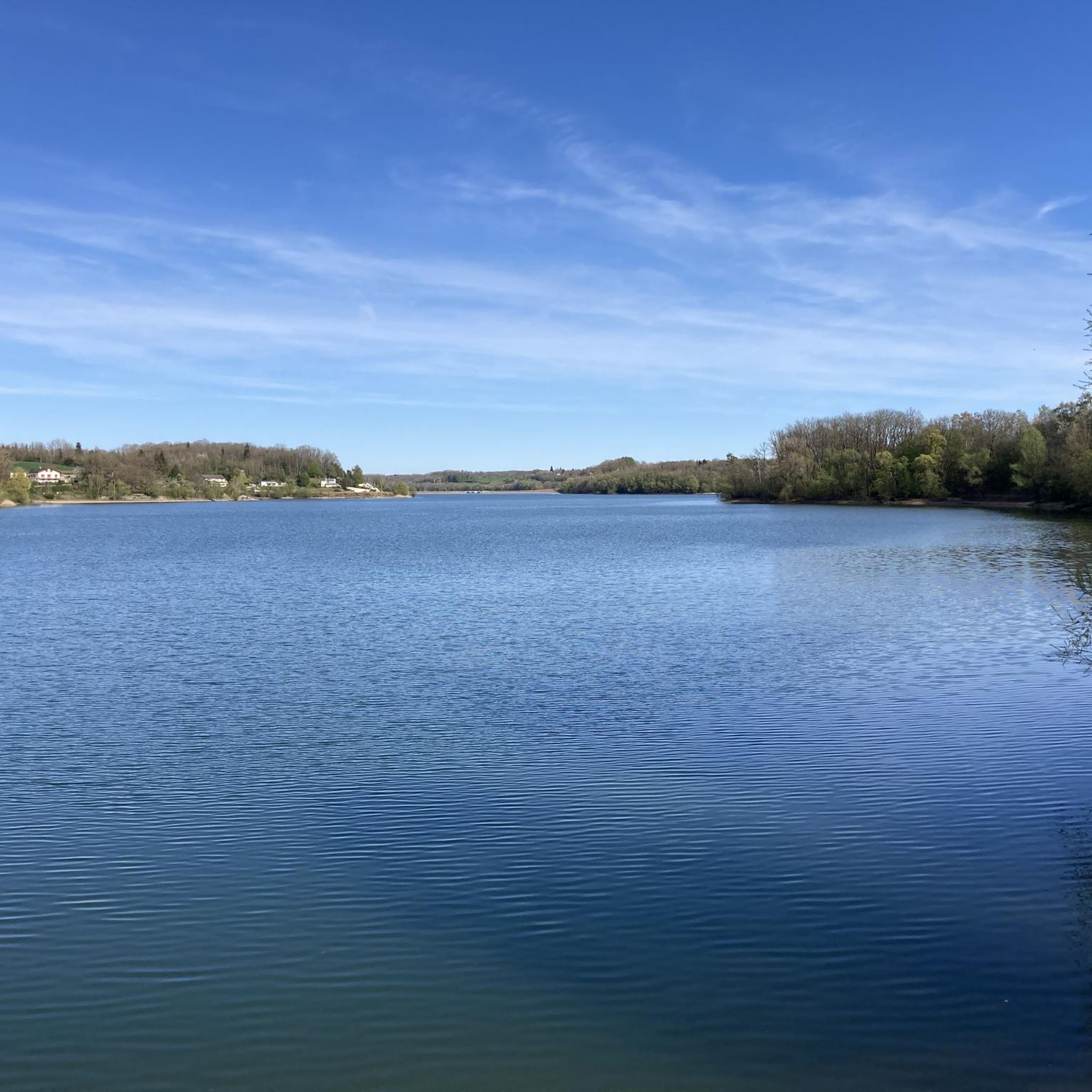
Road cycling routes in the region often pass by picturesque natural features and historical sites. You might encounter the tranquil waters of Lac de Charmes, or cycle alongside the historic Canal between Champagne and Burgundy. Some routes also offer scenic viewpoints like Champigny Bay, and you might even discover the Rolampont Tufière and Waterfall.
Are there family-friendly road cycling options around Vitry-Lès-Nogent?
While road cycling routes are generally on public roads, families can find suitable options by choosing routes with less traffic and flatter terrain, such as those following the canal paths. Look for the easier rated routes, which often provide a more relaxed experience for all ages. The wider region also features greenways and dedicated cycle routes along canals that are excellent for families.
What is the best time of year for road cycling in Vitry-Lès-Nogent?
The best time for road cycling in Vitry-Lès-Nogent is typically from spring to autumn. During these seasons, the weather is generally mild and pleasant, making for comfortable rides. Spring brings blooming landscapes, while autumn offers beautiful foliage. Summer is also popular, but be prepared for warmer temperatures.
Are there circular road cycling routes available?
Yes, many road cycling routes around Vitry-Lès-Nogent are designed as loops, allowing you to start and finish in the same location. Examples include the Langres – Lake Liez loop from La Perrière and the Treix singles loop from Nogent. These circular routes make planning your ride more convenient.
What do other road cyclists say about the routes in Vitry-Lès-Nogent?
The road cycling routes in Vitry-Lès-Nogent are highly regarded by the komoot community, with an average rating of 4.5 stars from over 20 reviews. Cyclists often praise the varied terrain, the scenic countryside, and the opportunities to explore charming villages and natural attractions.
Are there cafes or places to stop for refreshments along the routes?
The region's rural heritage means that many routes pass through quaint villages. While specific cafes are not listed for every route, you can often find local establishments in these villages to stop for refreshments. Planning your route to pass through larger towns will increase your chances of finding cafes, bakeries, and restaurants.
Is there public transport access to the road cycling routes?
Vitry-Lès-Nogent is situated in the Haute-Marne department, and while public transport options exist, they might be limited for direct access to all starting points of road cycling routes. It's advisable to check local bus or train schedules if you plan to use public transport to reach your desired starting location. Many cyclists prefer to drive to a central point and begin their loop from there.
What are the typical distances and durations for road cycling routes here?
Routes vary significantly in length and duration. You can find moderate paths like the Treix singles loop from Nogent, which is 39.0 miles (62.7 km) and takes around 2 hours 48 minutes. Longer, more difficult routes, such as the Langres – Lake Liez loop from La Perrière, can be over 76 miles (123 km) and take more than 5 hours to complete.
Most popular routes around Vitry-Lès-Nogent
Most popular attractions around Vitry-Lès-Nogent

Get inspired with the komoot mobile app


Explore more
Browse the best Road cycling routes in other regions.
