The best mountain hikes around Niederstadtfeld
5.0
(85)
360
hikers
8
hikes
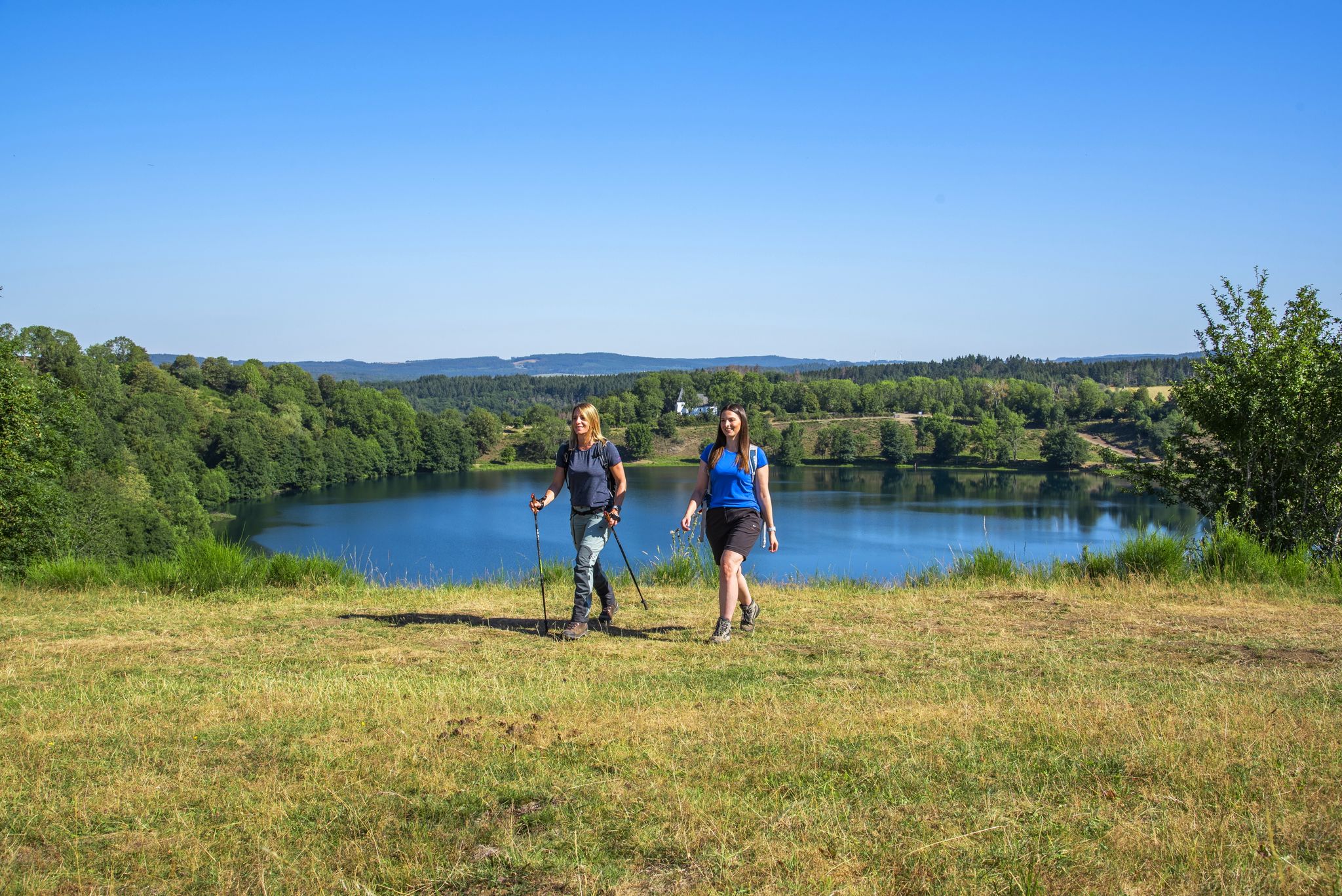
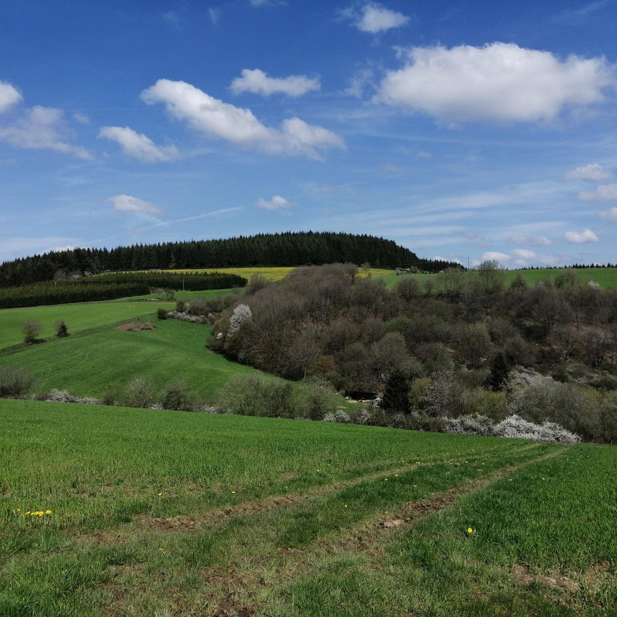
Mountaineering routes around Niederstadtfeld traverse the unique volcanic landscapes of the Vulkaneifel district in Rhineland-Palatinate. This region is characterized by a hilly and extensively wooded terrain, featuring significant elevation changes and dramatic maars. The area is situated in a side valley of the Kleine Kyll river, with elevations ranging from 386 to 420 meters, and nearby peaks like Scharteberg reaching 613 meters.
Best mountaineering routes around Niederstadtfeld
- The most popular mountaineering route is Keep of Oberburg Castle loop from Manderscheid…
Last updated: November 1, 2026
5.0
(10)
35
hikers
Hard mountaineering route. Good fitness required. Sure-footedness, sturdy shoes and alpine experience required.
5.0
(5)
29
hikers
Hard mountaineering route. Sure-footedness, sturdy shoes and alpine experience required.

7
hikers
Hard mountaineering route. Sure-footedness, sturdy shoes and alpine experience required.
5.0
(1)
3
hikers
Moderate mountaineering route. Good fitness required. Easily walkable paths.
5.0
(1)
3
hikers
Moderate mountaineering route. Good fitness required. Easily walkable paths.
Get access to more routes and recommendations from other explorers.
Already have an account?
Our route recommendations are based on thousands of hikes, rides, and runs completed by other people on komoot.
Start today with a free account
Your next adventure awaits.
Other adventures around Niederstadtfeld

Tips from the Community

Pace yourself well if you are a beginner! Possibly don't do all 3 stages. Otherwise TIP: Start early! I always leave at 6, half past 6. Then there are still few people. Afterwards it quickly gets crowded. This way you are alone at the summit around 10 am with your well-deserved summit beer and can enjoy the sunrise along the way. Pure Eifel! 🌄
0
0
Perfect trail with various difficulties, there is something for everyone. Best to start veeery early! I always set off at 6, half past 6, because later it's always hellish. Unfortunately, it's slowly becoming a bit overcrowded, but in the early morning it's still "pure Eifel": the rushing of the Lieser, fog, tranquility and simply perfect climbing fun! That way, you're alone at the summit for a summit beer after all 3 stages by 10 am 🌄🤝📯
0
0

Not possible to see the lake anymore in 2026 due to growth of the bushes
0
0

A great river with lots of nature and a lot of (earth) history.
0
0
A lovely hike, mindfulness trail, small Kyle, bridge, and then on to Heidsmühle for a wheat beer. Wonderful in summer, also a great way to cool off!
1
0

…a great challenging via ferrata in 3 stages with difficulties A - D along above the Lieser
1
0

Very nice view of the entire town.
0
0
Behind the Daun ski lift begins the mining zone for volcanic rock near the Gemünden Maar.
0
0
Frequently Asked Questions
How many mountaineering routes are available around Niederstadtfeld?
There are over 10 mountaineering routes around Niederstadtfeld listed in this guide, offering a range of experiences from moderate to difficult. The region's volcanic landscape provides diverse terrain for exploration.
What kind of terrain can I expect on mountaineering routes in Niederstadtfeld?
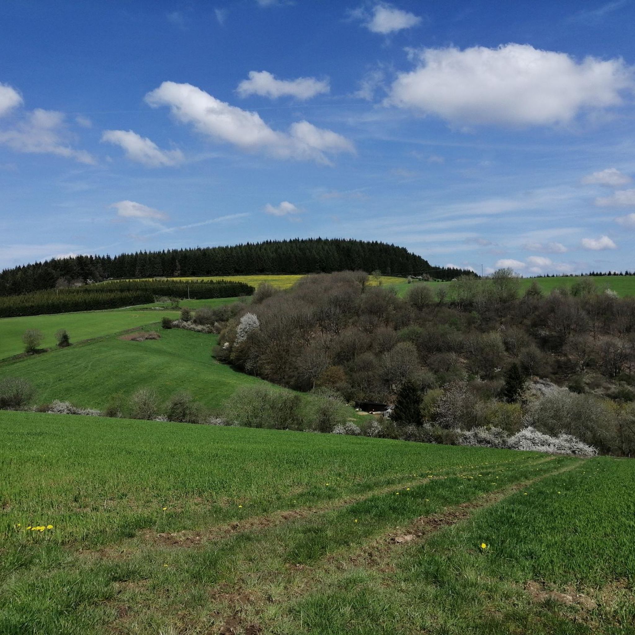
The terrain around Niederstadtfeld is characterized by its unique volcanic origin, featuring hilly and extensively wooded landscapes. You'll encounter significant elevation changes, dramatic maars (volcanic lakes), and picturesque river valleys, such as the Kleine Kyll. Routes often lead through dense forests and open meadows.
Are there any challenging mountaineering routes for experienced hikers?
Yes, Niederstadtfeld offers several challenging routes. For instance, the Keep of Oberburg Castle loop from Manderscheid is a difficult 4.3 km trail with notable elevation changes, offering views of historic castle ruins. Another demanding option is the Wäschebach Suspension Bridge loop from Manderscheid, a 7.7 km path through forested valleys.
What natural features or landmarks can I see along the routes?
The region is rich in natural and historical landmarks. You can explore the iconic maars, such as the Schalkenmehrener Maar, Weinfelder Maar, and Gemündener Maar. Routes often pass by historic castles like Manderscheid Upper Castle and Manderscheid Lower Castle. Don't miss the Dronke Tower on the Mäuseberg for panoramic views, or the Millstone Cave at Nerother Kopf.
Are there any circular mountaineering routes in the area?
Many routes around Niederstadtfeld are designed as circular paths, allowing you to start and end at the same point. Examples include the Public Restroom at Tunierwiese – Keep of Oberburg Castle loop from Manderscheid, a shorter 2.4 km option, or the longer Wäschebach Suspension Bridge – Keep of Oberburg Castle loop from Manderscheid.
What do other mountaineers say about the routes in Niederstadtfeld?
The mountaineering routes around Niederstadtfeld are highly rated by the komoot community, with an average score of 5.0 stars from over 100 reviews. Users frequently praise the unique volcanic landscapes, the well-maintained trails, and the stunning views, especially around the maars and castle ruins.
Are there any routes that offer views of the famous maars?
Absolutely. The volcanic maars are a highlight of the region. The View of the Gemündener Maar – Weinfelder Church loop from Schalkenmehren is a moderate 8.3 km route that provides excellent vistas of the Gemündener Maar and the historic Weinfelder Church. You can also find great views of the Schalkenmehren Maar from the Maarkreuz.
What is the best time of year for mountaineering in Niederstadtfeld?
The Vulkaneifel region is beautiful year-round, but spring and autumn offer particularly pleasant conditions for mountaineering. In spring, the landscape bursts with greenery, and in autumn, the forests display vibrant colors. Summer is also popular, though some routes can be more strenuous in warmer weather. Winter can offer a unique, quiet experience, but trails may be icy or muddy.
Are there any routes suitable for families with children?
While many routes involve significant elevation changes, some shorter, less strenuous options can be suitable for families. The region's diverse landscape, with its maars and forests, offers plenty to explore for all ages. Consider routes that are shorter in distance and have moderate elevation gains, and always check the specific route details for suitability.
Can I find places to eat or drink along the mountaineering routes?
While specific cafes directly on every trail might be limited, many routes pass through or near villages like Manderscheid and Schalkenmehren, where you can find local eateries, cafes, and pubs. It's always a good idea to pack water and snacks, especially for longer tours, and check village amenities beforehand.
What are the highest points or viewpoints accessible on these routes?
While Niederstadtfeld itself is situated at elevations between 386 to 420 meters, nearby peaks like Scharteberg reach 613 meters, offering significant ascents and panoramic views. The Dronke Tower on the Mäuseberg is a popular viewpoint accessible via challenging paths, providing stunning vistas over the maars and surrounding volcanic landscape.
Most popular routes around Niederstadtfeld
Most popular attractions around Niederstadtfeld

Get inspired with the komoot mobile app


Explore more
Browse the best Mountain Hikes & Routes in other regions.
