The best walks and hikes around Beaumont-Sur-Grosne
4.2
(130)
638
hikers
61
hikes
Hiking around Beaumont-Sur-Grosne offers a diverse landscape characterized by rolling hills and varied terrain, with elevations ranging from gentle slopes to more significant ascents. The region features a mix of open views, such as those towards St Martin de Laives and Roche d'Aujou, alongside areas like Théâtre de Verdure and Chapelle de l'hermitage. Trails often include both natural paths and established routes, providing options for different hiking preferences.
Best hiking trails around Beaumont-Sur-Grosne
- The most popular hiking route is Théâtre…
Last updated: October 9, 2026
5.0
(2)
32
hikers
17.5km
05:02
430m
430m
Hard hike. Very good fitness required. Easily-accessible paths. Suitable for all skill levels.
4.3
(3)
27
hikers
13.1km
03:48
330m
330m
Moderate hike. Good fitness required. Easily-accessible paths. Suitable for all skill levels.

5.0
(1)
19
hikers
21.8km
06:15
510m
510m
Hard hike. Very good fitness required. Easily-accessible paths. Suitable for all skill levels.
5.0
(2)
15
hikers
3.15km
00:48
10m
10m
Easy hike. Great for any fitness level. Easily-accessible paths. Suitable for all skill levels.
1
hikers
8.50km
02:25
190m
190m
Moderate hike. Good fitness required. Easily-accessible paths. Suitable for all skill levels.
Get access to more routes and recommendations from other explorers.
Already have an account?
Our route recommendations are based on thousands of hikes, rides, and runs completed by other people on komoot.
Start today with a free account
Your next adventure awaits.


Tips from the Community

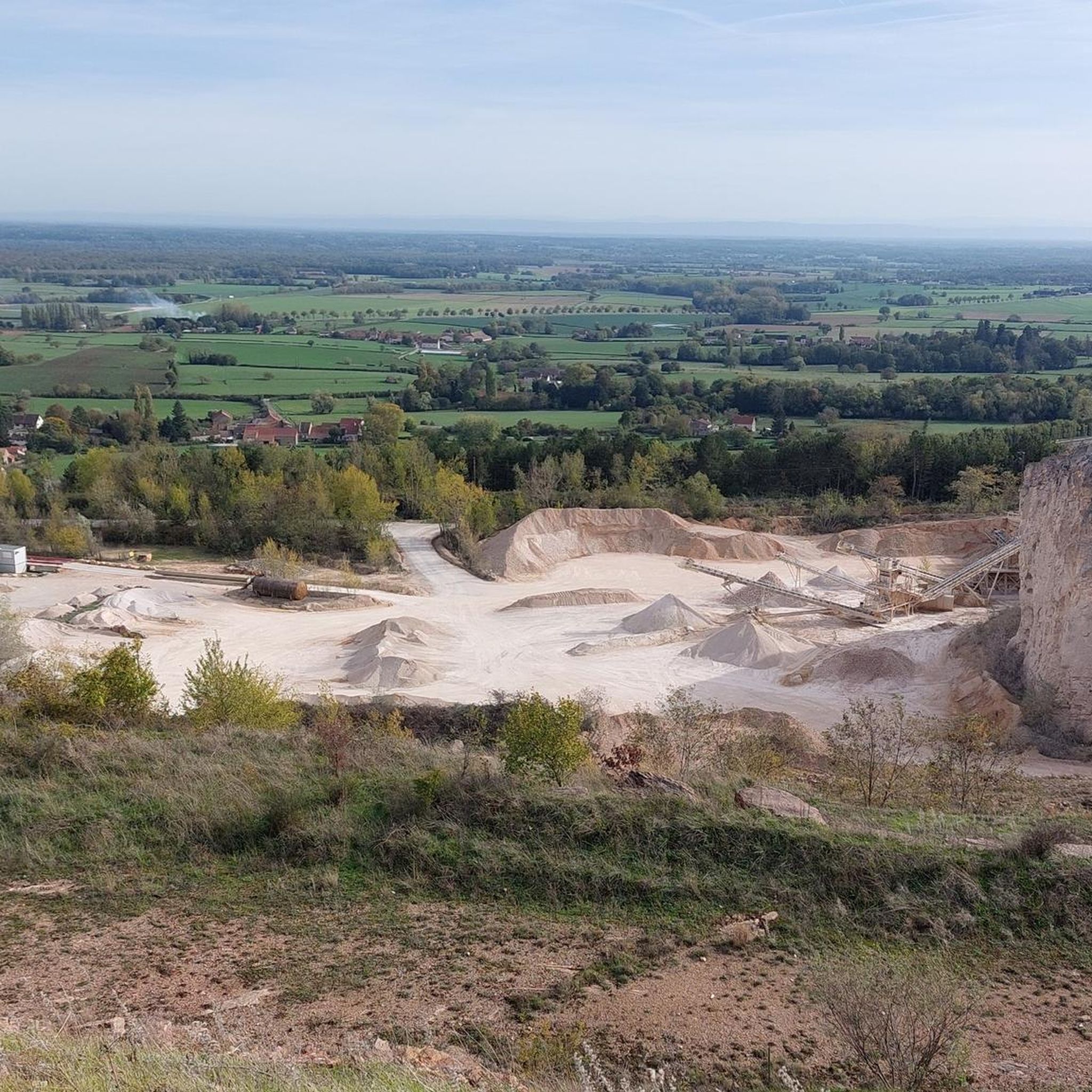
Saint-Martin-de-Laives designates the former name of the municipality of Laives, abandoned in 1793 in the revolutionary context. The name still exists today through the church of Saint-Martin-de-Laives. From the top of the hill, you can enjoy two splendid viewpoints: one over the Saône valley and the town of Sennecey, the other over the Grosne valley.
1
0
In the Middle Ages, a village called Saint Germain-des-Buis was located at this spot, of which today only the ruins of the church remain, in the current commune of Nanton in Saône-et-Loire. The inhabitants abandoned the village due to plague epidemics and a lack of water.
0
0

This location is part of a moderate circular hike starting from Mancey. The path there leads over easily walkable trails through nature and rewards hikers with this wide panoramic view over the French countryside.
0
0
The rock, located at an altitude of just under 480 meters, offers a wide panorama over the Grosne valley. In addition to its scenic beauty, the place is historically significant: during World War II, it served as a secret hiding place for young members of the French Resistance.
0
0

Hello, I couldn't finish the walk because one of the paths was impassable (piles of debris)! Apart from that, the beginning is very pretty!
0
0

Beautiful view of the area around Etrigny, beautiful!
2
0

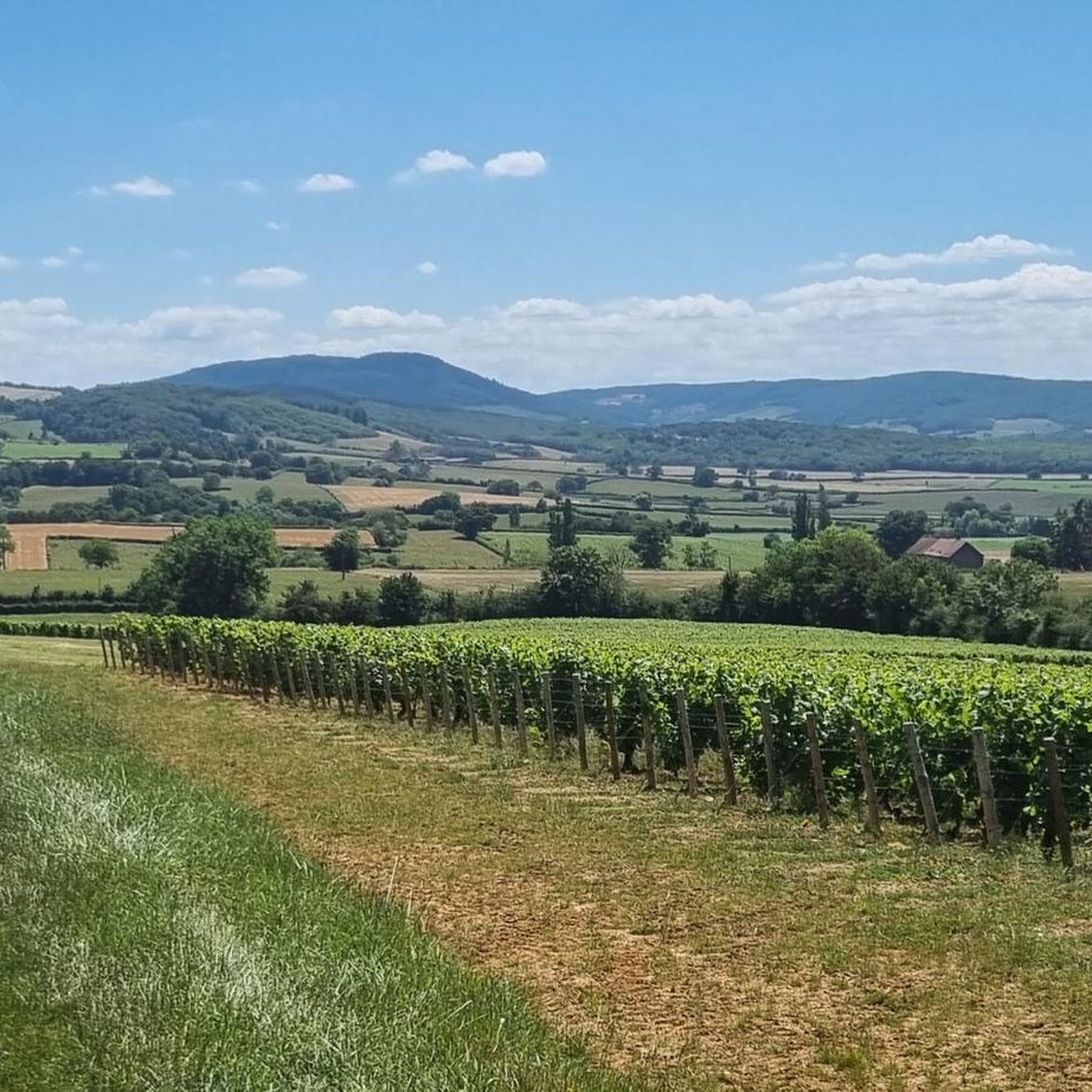
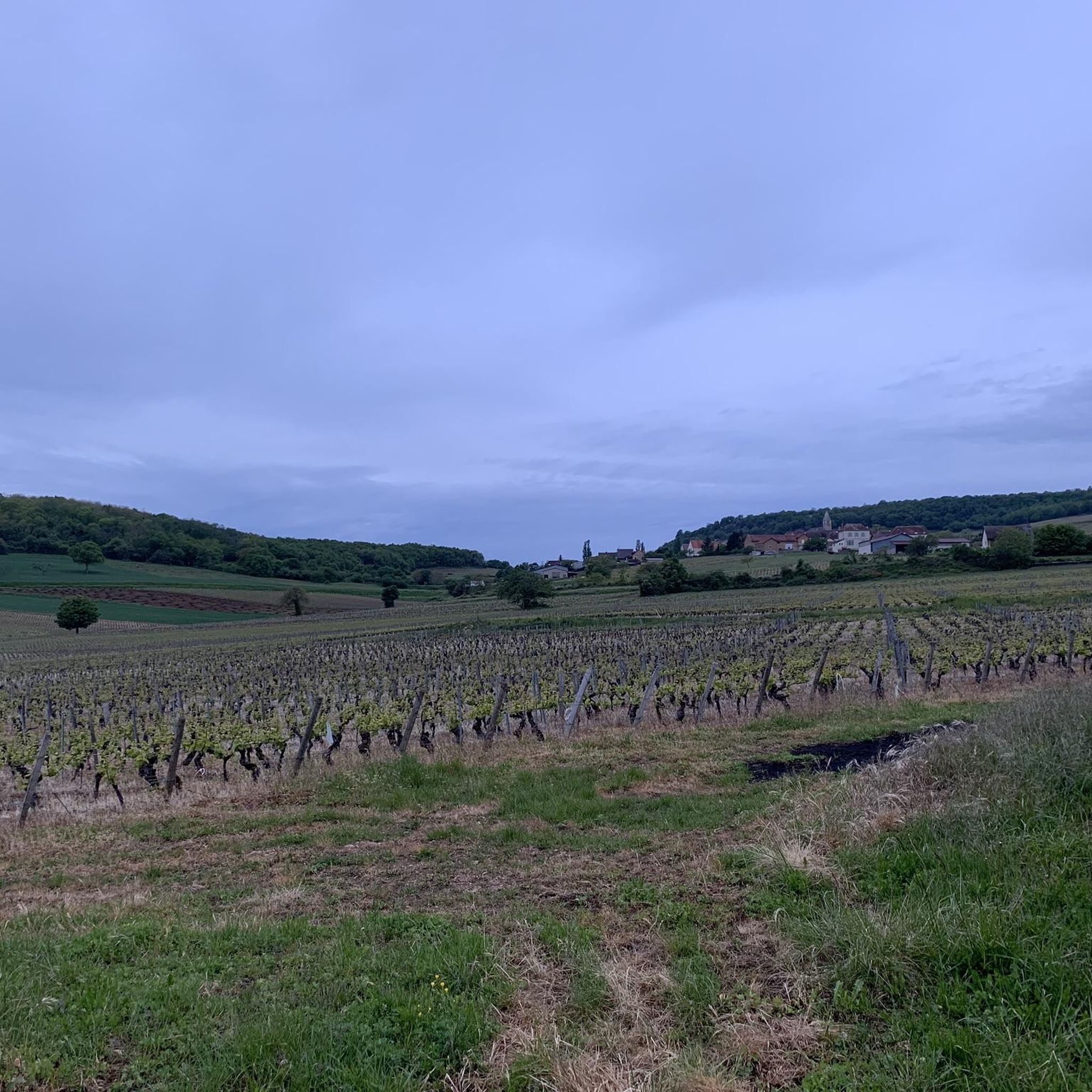
This vineyard panorama is made up of rolling hills and verdant tree cover.
4
1

Frequently Asked Questions
How many hiking trails are available around Beaumont-Sur-Grosne?
There are over 60 hiking routes in the Beaumont-Sur-Grosne area, catering to various skill levels. This includes 36 easy trails, 24 moderate routes, and 2 more challenging options.
Are there any easy, family-friendly hikes in Beaumont-Sur-Grosne?
Yes, for an easy and accessible option, consider the Old Vita Course loop from Les Voiles de Laives. This 2.0-mile (3.1 km) trail features flat paths and is often completed in under an hour, making it suitable for families.
What are some good options for long-distance hiking in the region?
For a more challenging and longer experience, the Roche d'Aujou viewpoint – Col de Navois loop from Laives is a demanding 13.6-mile (21.9 km) route with significant elevation gain, offering expansive views.
Are there circular walks available around Beaumont-Sur-Grosne?
Many trails in the area are designed as loops. A popular moderate circular route is the Chapelle de l'hermitage – Théâtre de Verdure loop from Laives, which is 4.7 miles (7.6 km) long and takes about 2 hours to complete.
What kind of views can I expect on hikes in Beaumont-Sur-Grosne?
The region is known for its rolling hills and varied terrain, offering open views towards landmarks like St Martin de Laives and the Roche d'Aujou viewpoint. Trails often combine natural paths with established routes, providing diverse scenery.
What do other hikers say about the trails in Beaumont-Sur-Grosne?
The trails in Beaumont-Sur-Grosne are highly rated by the komoot community, with an average score of 4.2 stars from over 110 reviews. Hikers often praise the varied terrain, open viewpoints, and the network of paths suitable for different ability levels.
Are there any interesting landmarks or attractions to see while hiking?
Yes, you can explore several points of interest. The Roche d'Aujou viewpoint offers panoramic vistas. Additionally, the Cycle Path along the Saône and the Towpath developed along the banks of the Saône provide pleasant walking opportunities near the river.
Is Beaumont-Sur-Grosne suitable for winter hiking?
While the guide focuses on general hiking, the varied terrain and rolling hills suggest that trails could be accessible in winter, though conditions may vary. Always check local weather forecasts and trail conditions before heading out, especially for ice or snow.
Are there any hikes that pass by a pub or restaurant?
The provided data does not specifically highlight routes with pubs directly on the trail. However, many villages in the region, including Beaumont-Sur-Grosne itself, likely offer local establishments where you can refuel after your hike.
What is the best time of year to hike in Beaumont-Sur-Grosne?
The region's diverse landscape with rolling hills and open views makes it enjoyable throughout the warmer months, from spring to autumn. Spring brings blooming flora, while autumn offers vibrant colors. Summer is also popular, but be prepared for warmer temperatures.
Are there any trails that offer good opportunities for wildlife spotting?
The mix of natural paths and varied terrain, including areas like Théâtre de Verdure, suggests potential for wildlife observation. Keep an eye out for local birds and small mammals, especially in quieter, wooded sections of the trails.
Where can I find parking for hiking trails in Beaumont-Sur-Grosne?
Specific parking information for individual trailheads is usually detailed on the komoot tour pages. Many routes, such as those starting from Laives or Les Voiles de Laives, typically have designated parking areas nearby. Always check the tour details for the most accurate information.
Most popular routes around Beaumont-Sur-Grosne
Most popular attractions around Beaumont-Sur-Grosne

Get inspired with the komoot mobile app


Explore more
Browse the best Hikes in other regions.
